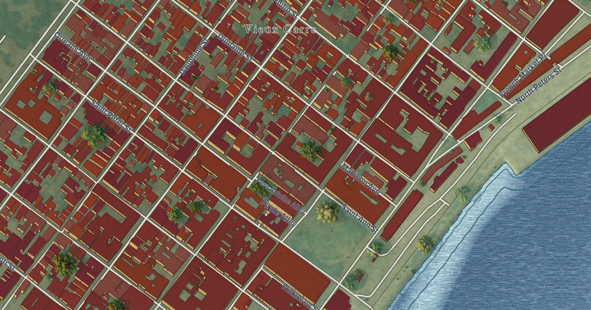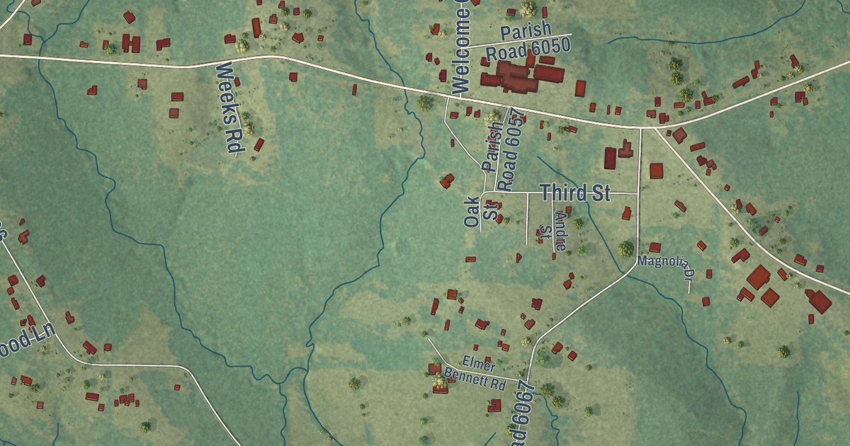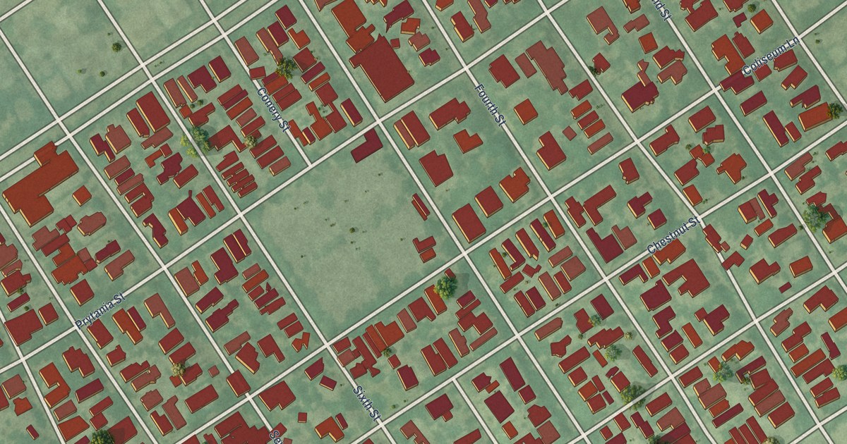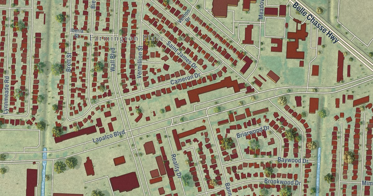
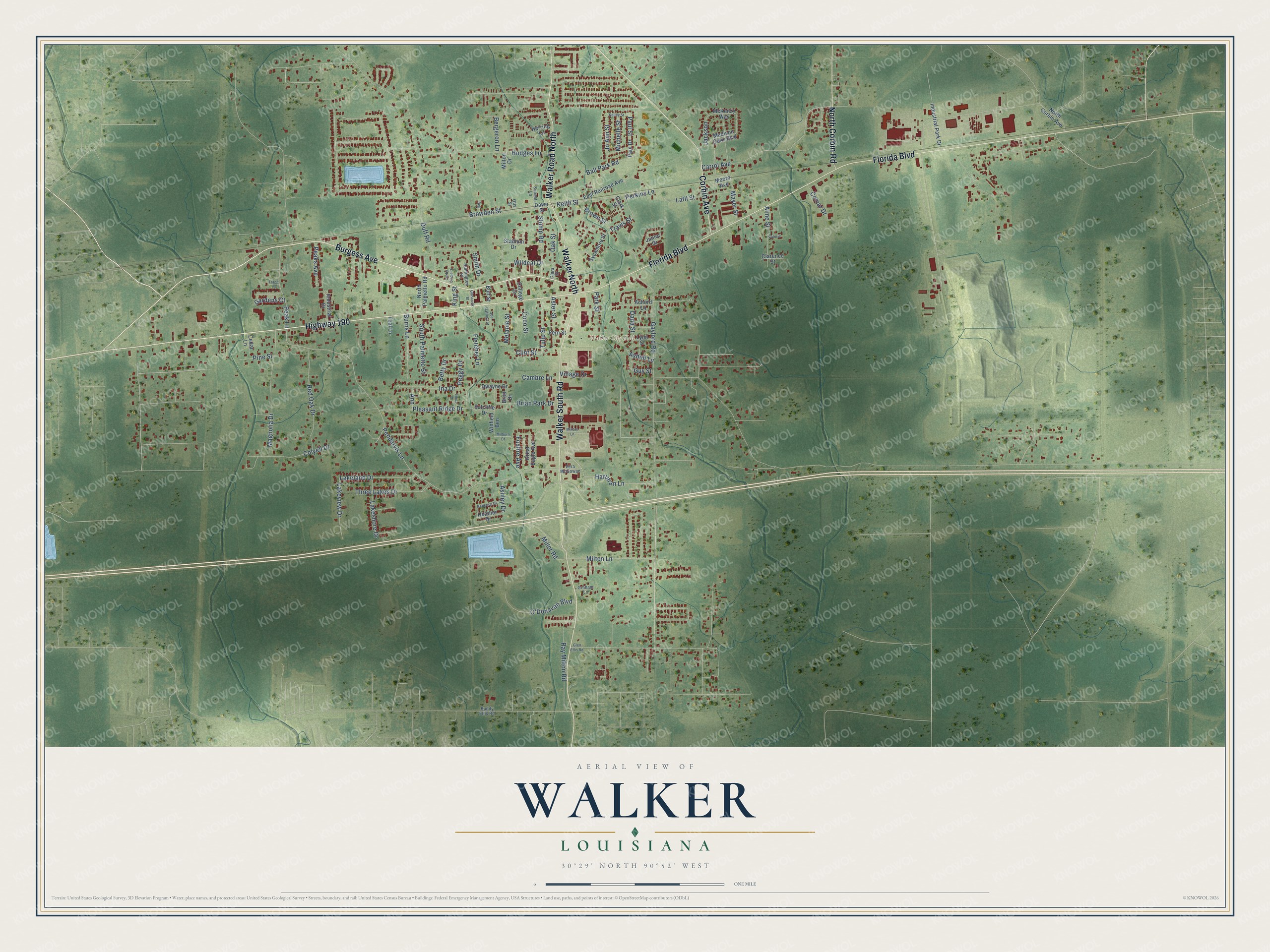
This beautifully detailed map of Walker, Louisiana was created in 2026 using aerial imagery combined with modern topographical, census, street and landmark data. It’s a one-of-a-kind view of Walker that combines accurate data with a vintage aesthetic. The map shows every building in its true location, many of the roads carry their names, and the shaded topographic relief shows the shape of the land.
Explore an aerial view of Walker, Louisiana
On the map you’ll find Walker City Hall and Corbin, along with Highway 190, Florida Boulevard, Burgess Avenue, Walker South Road, Walker Road North, Corbin Avenue, North Corbin Road, Pendarvis Lane, Wildcat Drive, Paul Street, and more. If you look closely you can even find your house accurately drawn in its correct location. Zoom in on the preview to look for yours.
Did you know this piece of Walker, Louisiana history?
From the National Park Service: "Walker High School is a two-story brick building with concrete trim. Built in 1930, it stands within a small educational complex located only a block from a major intersection in the Livingston Parish community of Walker."
Take a closer look at the Walker map
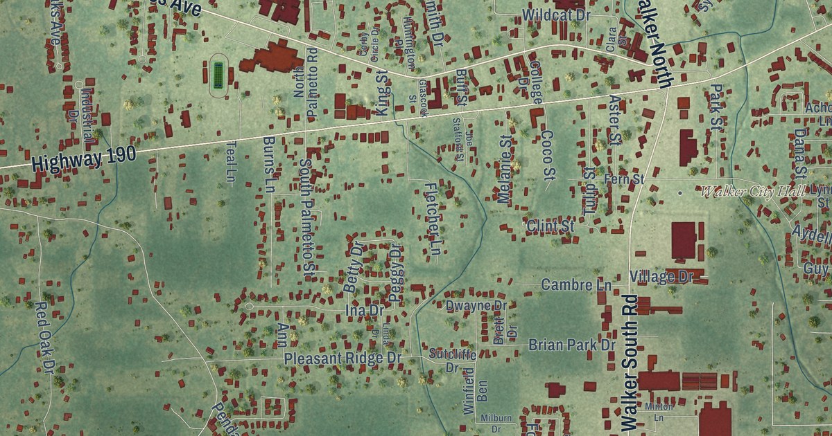
Street and place names on the Walker, Louisiana map
These names are printed on the map of Walker, Louisiana.
Places: Walker City Hall.
Streets and roads: Walker North, Highway 190, Florida Boulevard, Burgess Avenue, Walker South Road, Walker Road North, Corbin Avenue, North Corbin Road, Travis Street, Keith Street, Wildcat Drive, Peggy Drive.
More street names, A to Z
Achord Lane, Aime Street, Ann, Ashley Drive, Aster Street, Aydell Lane, Ball Park Road, Bell, Bergeron Lane, Betty Drive, Brett Drive, Brian Park Drive, Browden Street, Brown Street, Buddy Ellis Road, Buff Street, Burns Lane, Cambre Lane, Carrol Avenue, Cedar Lane, Clara Street, Clarence Street, Clark Street, Clint Street, Coco Street, College Drive, Colyell Drive, Comar Drive, Corby Circle Drive, Dana Street, Dawn Street, Duff Road, Dwayne Drive, East Railroad Avenue, Fern Street, Fletcher Lane, Foxfire Avenue, Gardens Court, Gaylord Road, Glascock Street, Glen Ellis Road, Graham Lane, Great Eagle Avenue, Guy Street, Hartman Lane, Heather Drive, Herring Lane, Hodges Lane, Huntington Place, Ina Drive, Industrial Drive, Industrial Park Drive, Jackson, Jo Ann Street, Joe Stafford Street, Junior Drive, Kelley Street, King Street, Lakeland Drive, Lakeshore Drive, Lakeview Drive, Latil Street, Linda Drive, Lynn Street, Madison Oaks Boulevard, Magnolia Drive, Mayer Street, McKenzy Way, Melanie Street, Michelle Street, Milburn Drive, Miller Road, Milton Drive, Milton Lane, Minton Lane, Moore Avenue, North Corbin Avenue, North Palmetto Road, O'Donavan Boulevard, Oak Street, Otis Street, Park Street, Paul Drive, Paul Street, Peak Lane, Peaks Avenue, Pendarvis Lane, Perkins Lane, Pine Street, Pleasant Ridge Drive, Ray Milton Road, Rebecca Drive, Red Oak Drive, Smith Drive, South Palmetto Street, Stadium Drive, Stump Road, Sunset Lane, Sutcliffe Drive, Sycamore Street, Teal Lane, Three Lakes Drive, Trace Lane, Tulip Street, Valerie, Vera McGowan, Village Drive, Winfield Ben.
See the Walker, Louisiana map on a wall
The Walker map as an 18 x 24 inch print in a black frame.

This beautifully detailed map of Walker makes an attractive addition to your office, library, or den, and it can even be used to teach children the geography and history of the area. It also makes a great gift for anyone with Walker roots. When you’re done exploring, click here to get your copy of the Walker map.