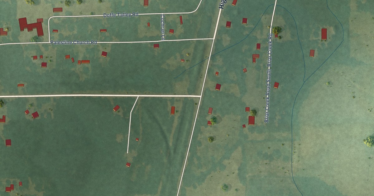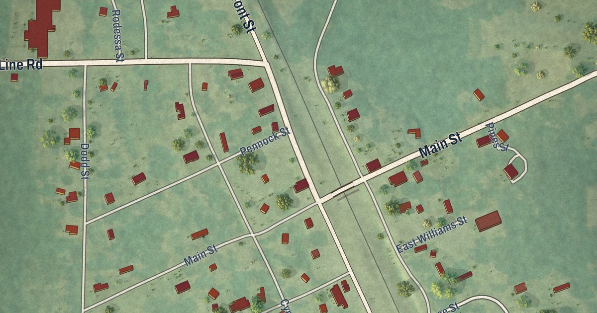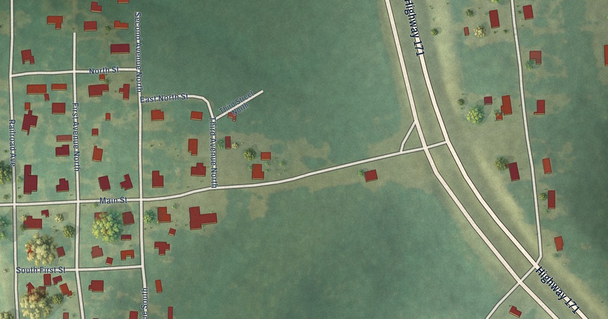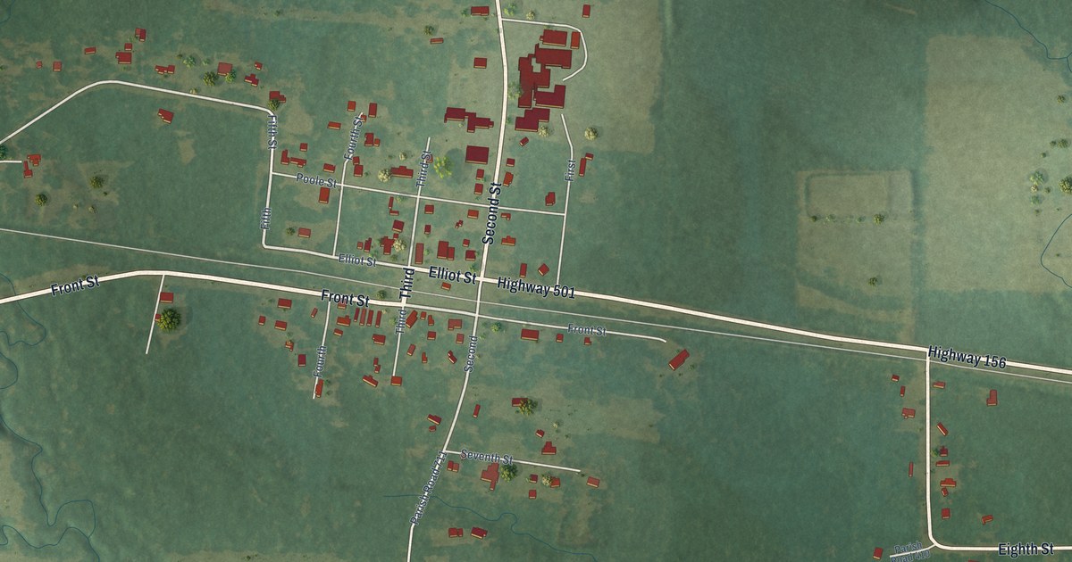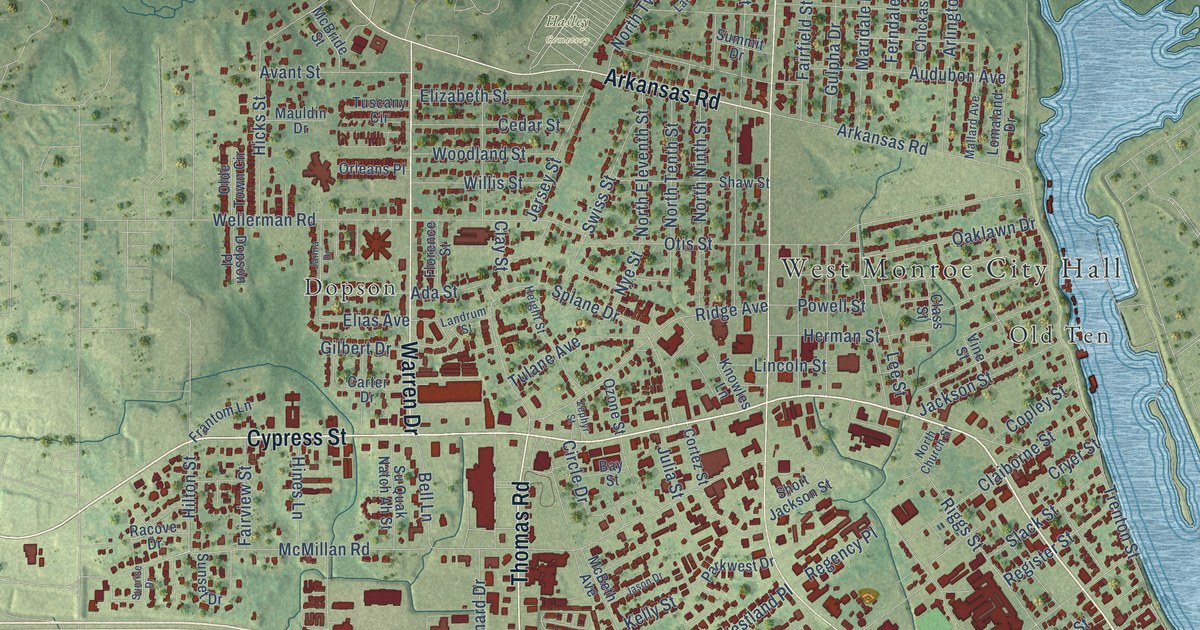
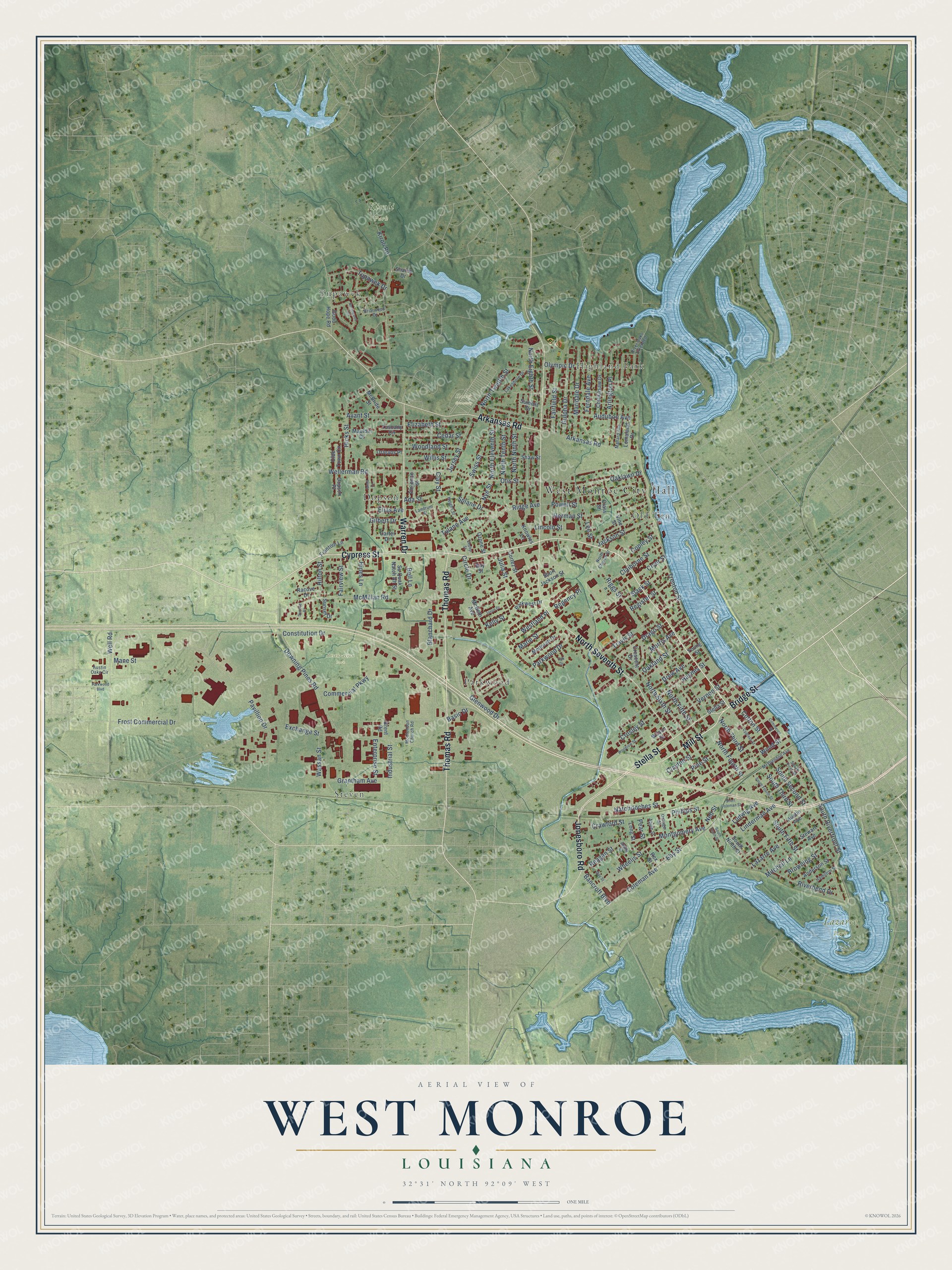
This beautifully detailed map of West Monroe, Louisiana was created in 2026 using aerial imagery combined with modern topographical, census, street and landmark data. It’s a one-of-a-kind view of West Monroe that combines accurate data with a vintage aesthetic. The map shows every building in its true location, many of the roads carry their names, and the shaded topographic relief shows the shape of the land.
Explore an aerial view of West Monroe, Louisiana
On the map you’ll find West Monroe City Hall, Hasley Cemetery, Kiroli Park, Lazarre Park, Restoration Park, Dopson, Highland Park, Old Ten, Parkwood, Steven, and Tupawek, along with Mill Street, and more. If you look closely you can even find your house accurately drawn in its correct location. Zoom in on the preview to look for yours.
Did You Know?
From the National Park Service: "The town of West Monroe, however, was not chartered until 1889, owing its existence directly to the arrival of the Vicksburg, Shreveport and Pacific Railroad earlier in the decade."
Take a closer look at the West Monroe map
Names on this map
These names are printed on this map.
Places: West Monroe City Hall, Hasley Cemetery, Kiroli Park, Lazarre Park, Restoration Park, Dopson, Highland Park, Old Ten, Parkwood, Steven and Tupawek.
Streets and roads: Mill Street, Bridge Street, Cypress Street, Thomas Road, Stella Street, Warren Drive, North Seventh Street, Arkansas Road, Jonesboro Road, Ridge Avenue, McMillan Road, Splane Drive.
More street names, A to Z
Ada Street, Alpha Street, Anderson Street, Apple Street, Arlington Place, Audubon Avenue, Austin Avenue, Austin Oaks Circle, Avant Street, Bancroft Boulevard, Basic Drive, Bay Street, Bell Lane, Blanchard Drive, Brent Road, Briarwood Drive, Browning Street, Carter Drive, Cedar Street, Chickasaw Drive, Circle Drive, Claiborne Street, Class Street, Clay Street, Clayton Street, Coleman Avenue, Commerce Street, Commercial Parkway, Constitution Drive, Copley Street, Cortez Street, Cotton Street, Crawford Street, Crescent Drive, Crosley Street, Cryer Street, Dopson Place, Downing Pines Road, Drago Street, Drew Avenue, Eby Street, Elias Avenue, Elizabeth Street, Enterprise Street, Exchange Street, Fairfield Street, Fairview Street, Ferndale Avenue, Florence Street, Frantom Lane, Frost Commercial Drive, Gilbert Drive, Glenwood Drive, Good Hope Road, Grantham Avenue, Gulpha Drive, Hamilton Street, Haynes Street, Height Street, Herman Street, Hicks Street, Hilton Street, Hines Lane, Industrial Street, Jackson Street, Janna Drive, Jason Drive, Jersey Street, Julia Street, Kelly Street, Kiroli Road, Knowles Lane, Lakeshore Drive, Landrum Street, Lazarre Avenue, Lee Street, Lincoln Street, Linderman Avenue, Lomaland Drive, Long Street, Ludwig Avenue, Mallard Avenue, Mane Street, Maridale Drive, Marie Street, Mauldin Drive, May Street, McBeth Avenue, McBride Street, McClendon Avenue, McClendon Church Road, Medorah Drive, Mitchell Lane, Montgomery Avenue, Morris Avenue, Natchitoches Street, Ned Street, North Church Street, North Eighth Street, North Eleventh Street, North Fifth Street, North Fourth Street, North Ninth Street, North Sixth Street, North Tenth Street, North Third Street, North Twelfth Street, Northwood Circle, Nye Street, Oak Drive, Oakland Street, Oaklawn Drive, Olde Town Circle, Olympic Drive, Orange Street, Orleans Place, Otis Street, Ozone Street, Parkwest Drive, Parkwood Boulevard, Parkwood Drive, Pavillion Drive, Pear Street, Phillips Street, Pine Street, Powell Street, Racove Drive, Reagan Street, Regency Place, Register Street, Rex Street, Riggs Street, Riverbend Drive, River Oaks Extended, Sharon Drive, Shaw Street, Short Coleman Street, Short Jackson Street, Slack Street, South Fifth Street, South First Street, South Fourth Street, South Ninth Street, South Riverfront Street, South Second Street, South Tenth Street, South Third Street, Stewart Avenue, Summit Drive, Sunrise Drive, Sunset Drive, Su Quak Natch Ah Street, Swiss Street, Travis Street, Trenton Street, Tulane Avenue, Tupawek Drive, Tuscany Circle, Vernon Street, Vine Street, Wassan Street, Wellerman Road, Well Road, Westland Place, Wheelis Street, Willis Street, Wilson Street, Woodland Street, Woodrow Street, Wood Street, Young Street, Zephyr Street.
See it on a wall
The West Monroe map as an 18 x 24 inch print in a black frame.

This beautifully detailed map of West Monroe makes an attractive addition to your office, library, or den, and it can even be used to teach children the geography and history of the area. It also makes a great gift for someone who left West Monroe and still calls it home. When you’re done exploring, click here to get your copy of the West Monroe map.