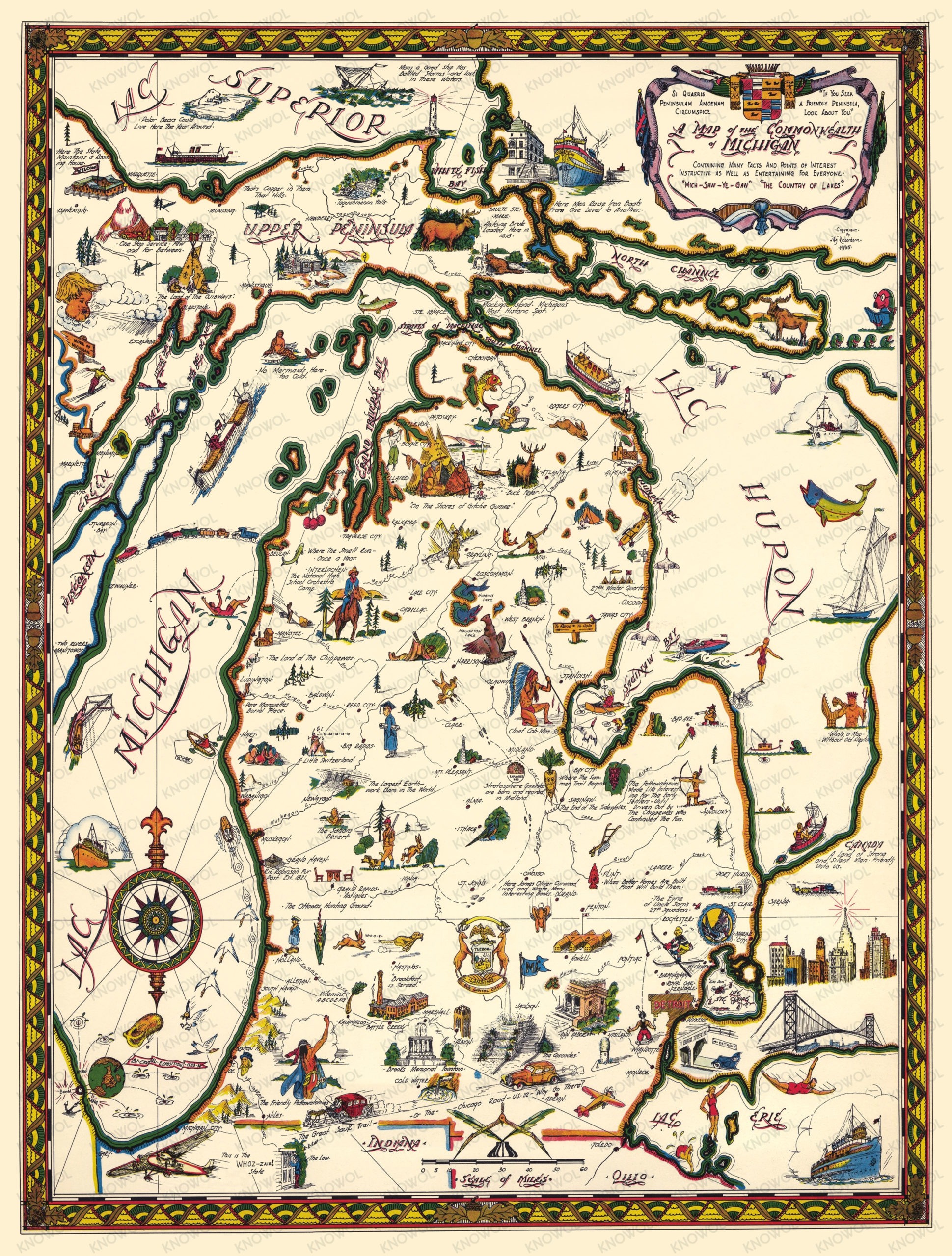
Map of Historic Michigan, a one page history dedicated to the Old Timers, 1935
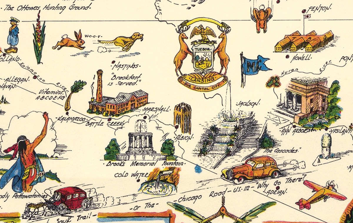
Dive into the historic grandeur of the Great Lake State with this Pictorial Map of Michigan from 1935. Created by Hy Richardson, this map is both a decorative piece and a historical document, a delightful find for history enthusiasts and art collectors alike. Each brushstroke and notation on the map tells the story of Michigan’s heritage, a testament to the state’s motto, “If you seek a pleasant peninsula, look about you.”
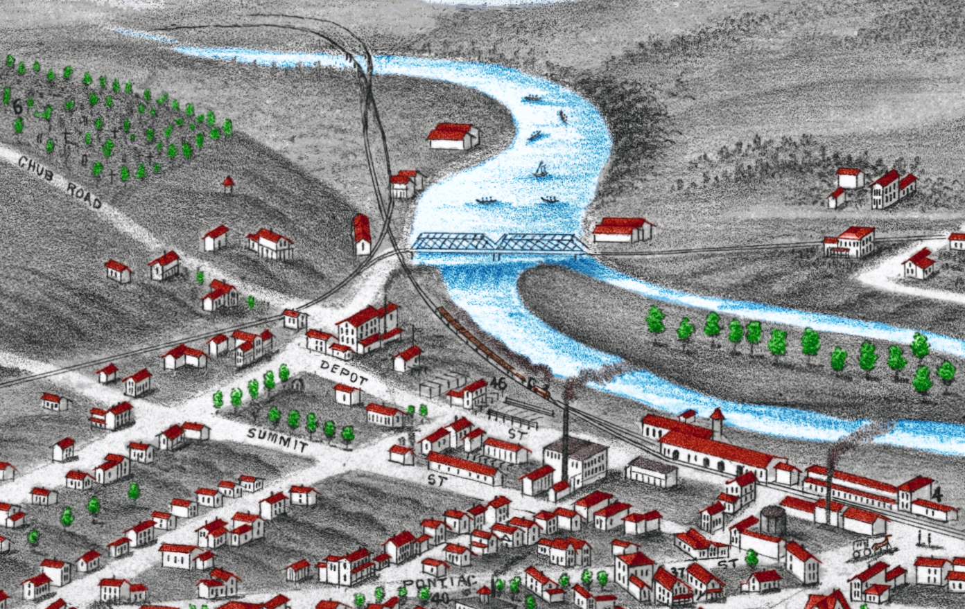
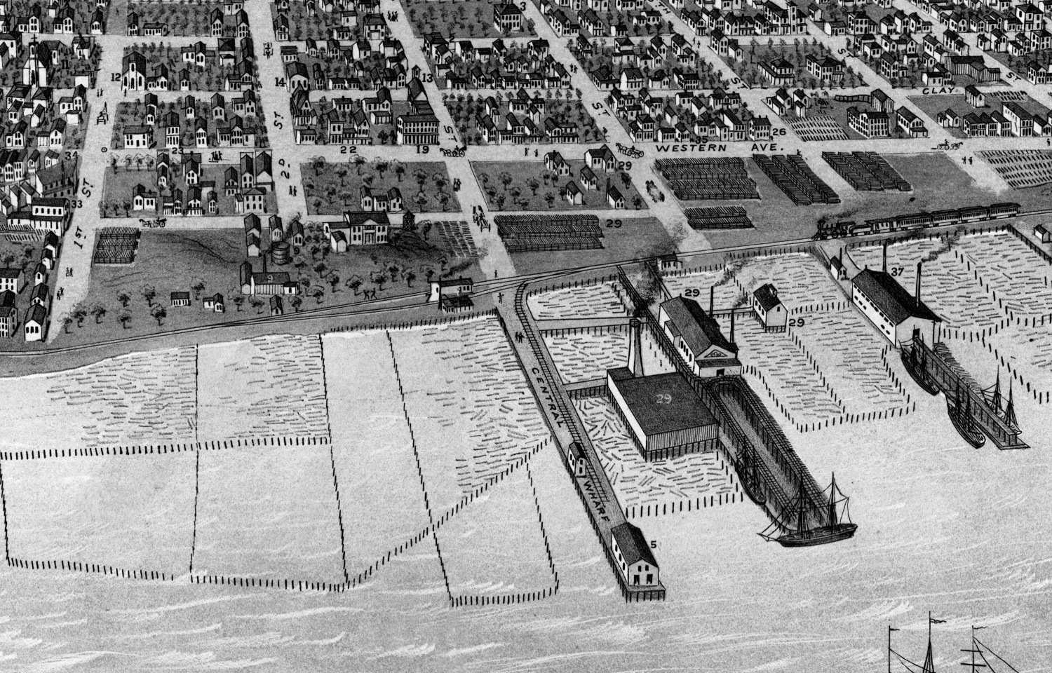
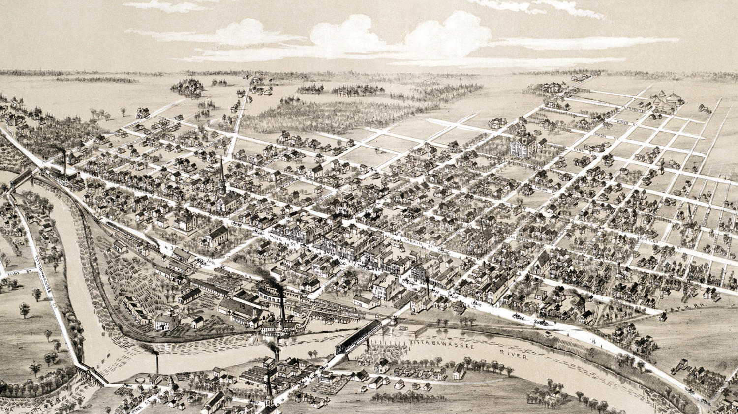
From the dense forests of the Upper Peninsula to the industrial heartbeat of cities like Detroit, this map covers it all. It shows the state’s major industries of the time, such as mining and automobile manufacturing, along with the recreational activities that have always drawn people to Michigan’s vast outdoor spaces. The intricate illustrations highlight the importance of Michigan’s natural resources, with depictions of forestry, mining, and the quintessential Great Lakes that border it. The drawings also bring to life the local wildlife and the maritime importance of the Great Lakes with ships and lighthouses prominently displayed.
This historic map of Michigan was restored by KNOWOL. Reproductions of the restored map are available here. You can explore the full map by clicking on the image below.
Historic Pictorial Map of Michigan, 1935
This map of Michigan will make an attractive addition to your office, library, or den and can even be used to teach children the geography and history of the area. When you’re done exploring, click here to get your copy of the restored map.