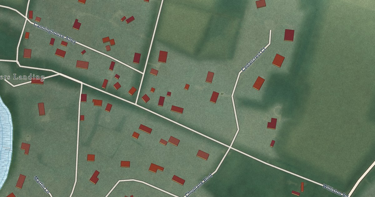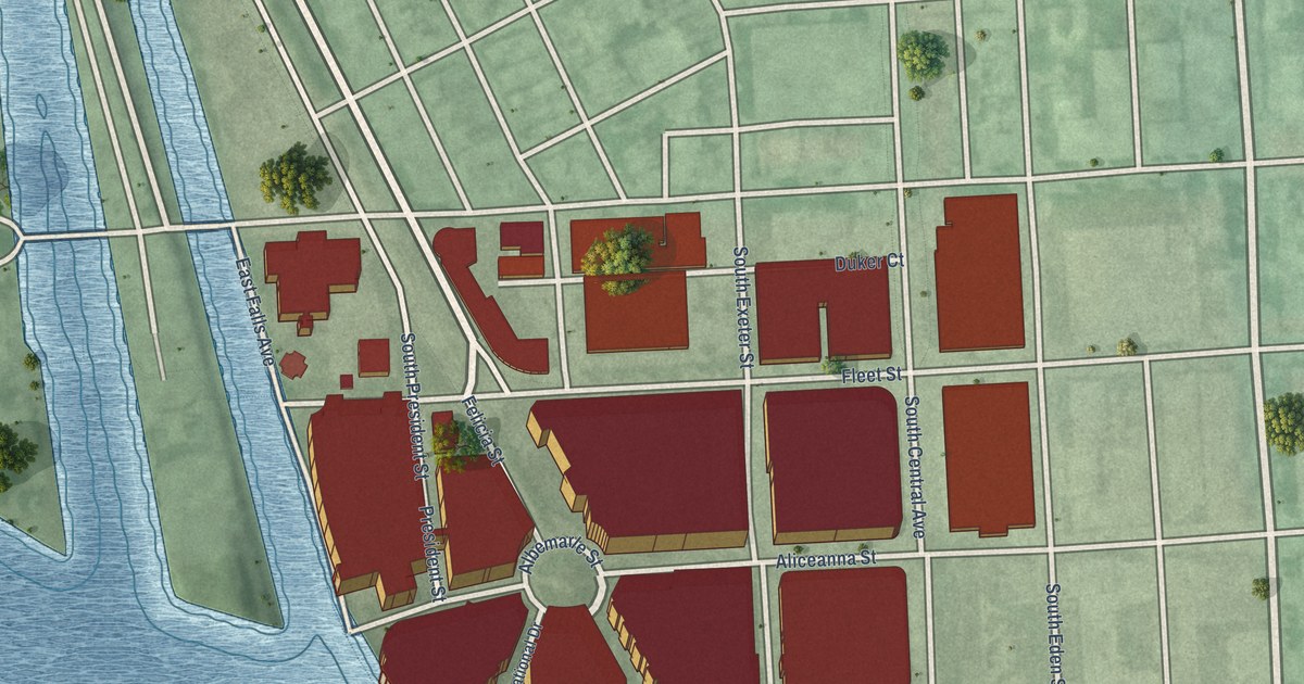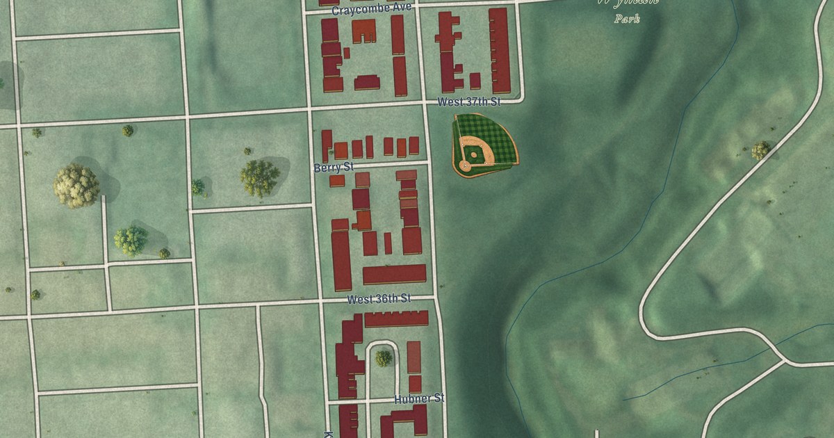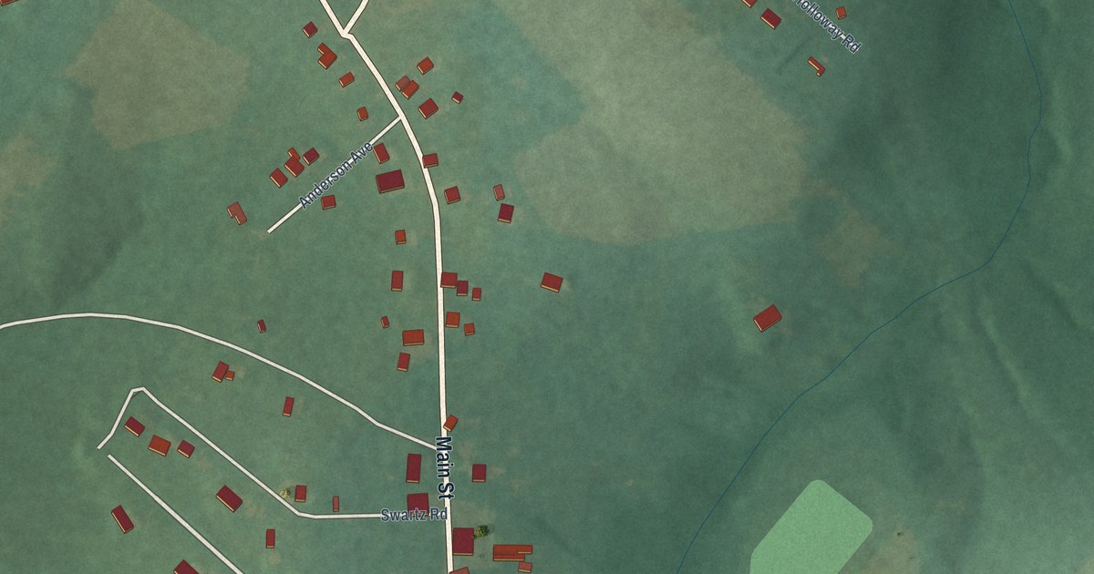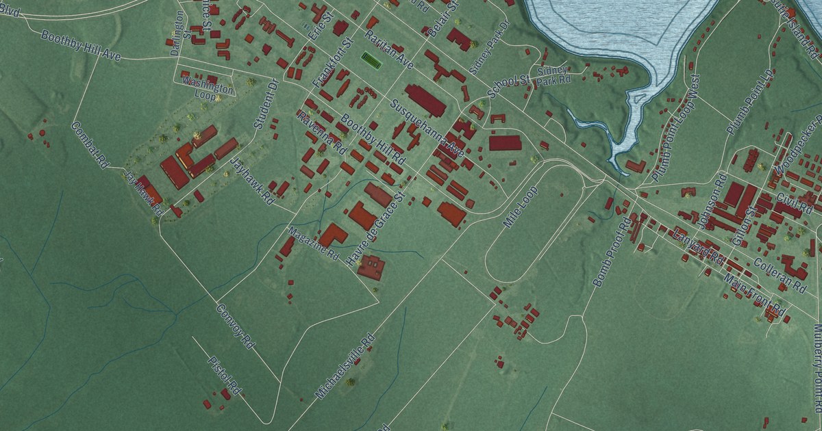
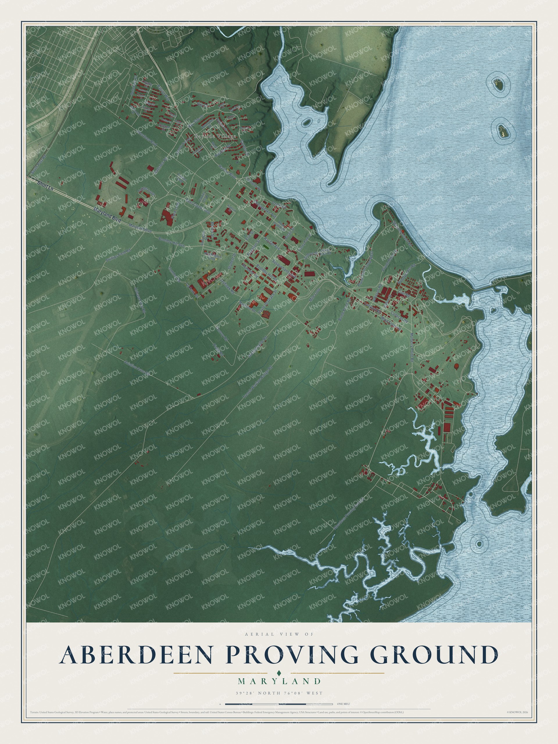
This beautifully detailed map of Aberdeen Proving Ground, Maryland was created in 2026 using aerial imagery combined with modern topographical, census, street and landmark data. It's a modern aerial view of Aberdeen Proving Ground in Harford County, Maryland, that combines modern data with a vintage aesthetic. The roads feature printed names, and if you look closely you can find your exact house accurately shown in its correct location.
Explore an aerial view of Aberdeen Proving Ground, Maryland
On this map you'll find Bayside Village, Maryland Boulevard, Short Lane, Aberdeen Proving Ground, Bay Side Drive, Gadsden Road, Harford Boulevard, Flare Loop, South Post Road, Deer Creek Loop, Boothby Hill Avenue, Aberdeen Boulevard, and more. Each red shape is a building, so zoom in on the preview and look for yours.
Every town has a first chapter, and Aberdeen Proving Ground is no exception. The Ballistic Research Laboratory at Aberdeen Proving Ground is especially tied to ENIAC, the first high-speed digital computer. The lab's headquarters, Building 328, went up in 1942 as its main testing building and housed the ENIAC. The lab grew from a Ballistics Division the Army formed in 1918, when testing moved from Sandy Hook to the new proving ground, and it took the Ballistic Research Laboratory name in 1938. That's from the Maryland Historical Trust.
Aberdeen Proving Ground is a community in Harford County. The Census Bureau counted 1,668 people here in 2020.
Take a closer look at the Aberdeen Proving Ground map
Names on this map
These names are printed on this map.
Places: Bayside Village.
Streets and roads: Maryland Boulevard, Short Lane, Aberdeen Proving Ground, Bay Side Drive, Gadsden Road, Harford Boulevard, Flare Loop, South Post Road, Deer Creek Loop, Boothby Hill Avenue, Aberdeen Boulevard, Boothby Hill Road.
More street names, A to Z
Airbase Loop Road, Augusta Street, Aviation Arms Road, Bay Court, Belair Street, Benice Street, Bomb Proof Road, Canal Court, Chesapeake Avenue, Citizen Court, Civil Road, Colleran Road, Combat Road, Convoy Road, Cranetown Road, Crozier Loop, Darlington Street, Delaware Court, Dock Court, Dolphin Court, Erie Street, Flag Court, Frankfort Street, Freedom Court, Garden Drive, Gillon Street, Havre de Grace Street, Jayhawk Road, Jay Hawk Road, Johnson Road, Justice Court, Lanyard Road, Loyalty Court, Magazine Road, Main Front Road, Marylander Drive, Michaelsville Road, Mile Loop, Mulberry Point Road, Nautical Court, Oakington Road, Ozark Road, Patriot Way, Peace Court, Phillips Field Road, Pistol Road, Pledge Court, Plumb Point Loop West, Plumb Point Lp, Powder Loop, Pride Court, Radford Street, Raritan Avenue, Ravenna Road, Rock Island Road, Rodman Road, School Street, Shandy Hall Road, Sidney Park Drive, Sidney Park Road, Spesutie Island Road, Student Drive, Susquehanna Avenue, Target Loop, Trench Warfare Range Road, Veteran Court, Washington Loop, Watervliet Street, West Court, Woodpecker Road.
See it on a wall
The Aberdeen Proving Ground map as a framed print. Swipe for more.


Created by KNOWOL in 2026. The buildings are small red shapes, the roads carry their printed names, and shaded relief shows the shape of the land. The title panel reads "AERIAL VIEW OF ABERDEEN PROVING GROUND, MARYLAND" with 39°28' NORTH 76°08' WEST.
Hang it in the hallway, the office or the cabin, or give it to someone who left Aberdeen Proving Ground and still calls it home. Open the preview and look for a street you know. See sizes and frames for the Aberdeen Proving Ground map.