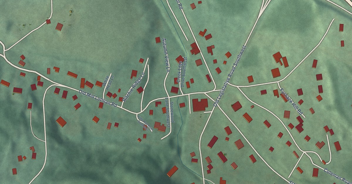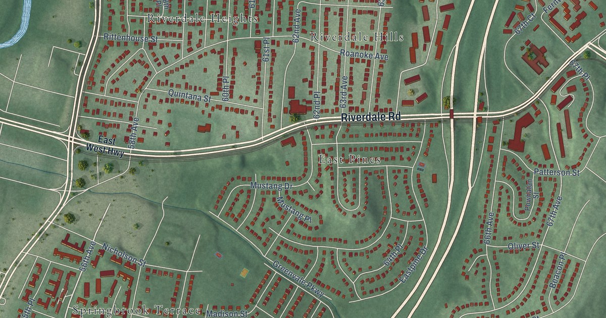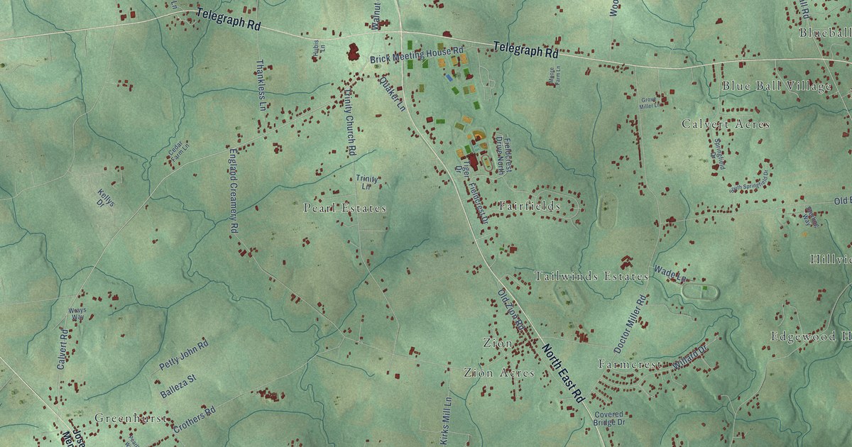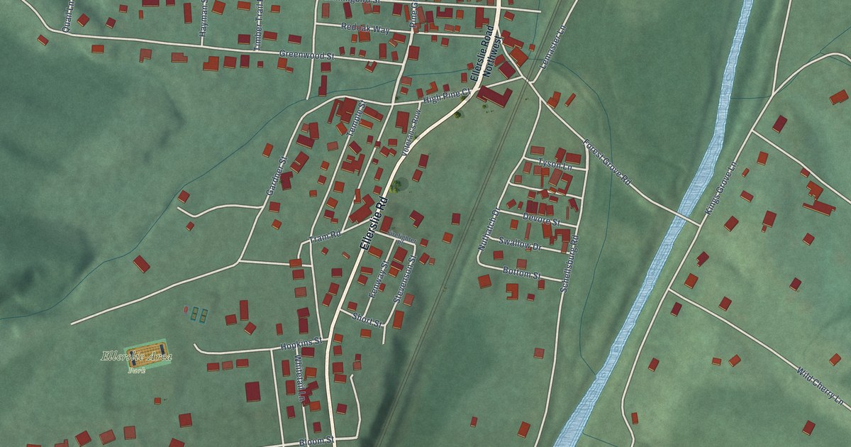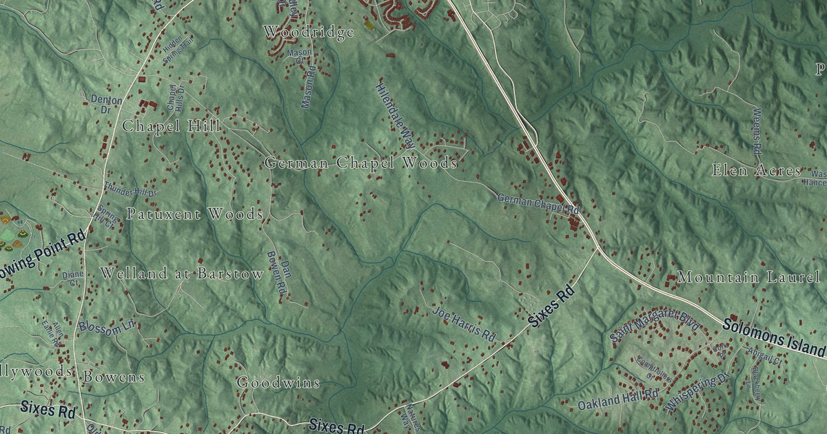
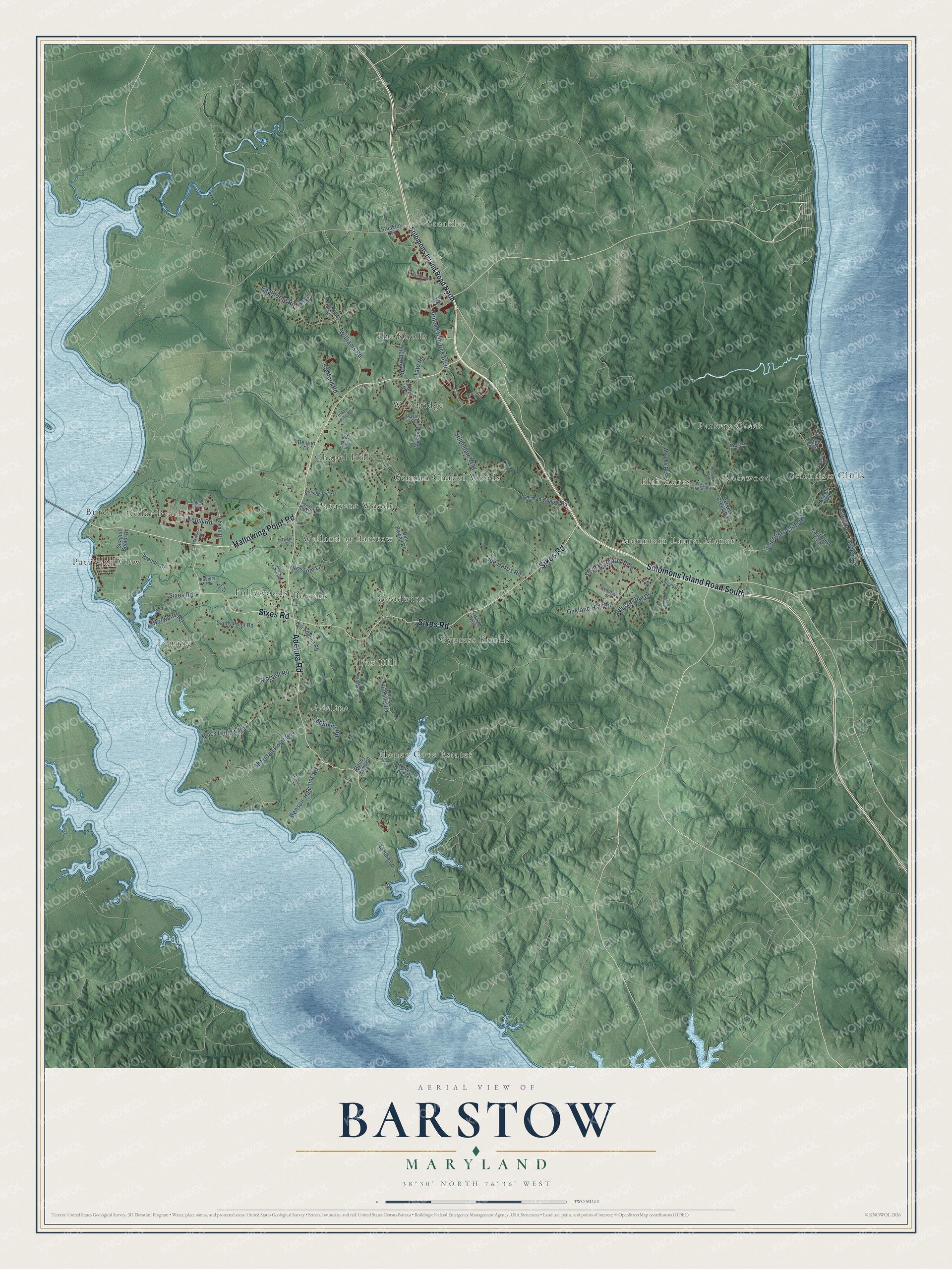
This beautifully detailed map of Barstow, Maryland was created in 2026 using aerial imagery combined with modern topographical, census, street and landmark data. It’s a one-of-a-kind view of Barstow that combines accurate data with a vintage aesthetic. The map shows every building in its true location, many of the roads carry their names, and the shaded topographic relief shows the shape of the land.
Explore an aerial view of Barstow, Maryland
On the map you’ll find German Chapel Woods, Leming, Scientists Cliffs, Stoakley, Welland at Barstow, Elen Acres, The Knolls, Honey Cove Estates, Cypress Knolls, Fox Hill, Mountain Laurel Manor, Cedar Beach, and more. If you look closely you can even find your house accurately drawn in its correct location. Zoom in on the preview to look for yours.
Take a closer look at the Barstow map
Names on this map
These names are printed on this map.
Places: German Chapel Woods, Leming, Scientists Cliffs, Stoakley, Welland at Barstow, Elen Acres, The Knolls, Honey Cove Estates, Cypress Knolls, Fox Hill, Mountain Laurel Manor, Cedar Beach, Chapel Hill, Patuxent View, Follywoods, Woodridge, Parkers Creek, Goodwins, Bowens, Adelina, Patuxent Woods, Rosewood and Burch.
Streets and roads: Solomons Island Road South, Hallowing Point Road, Sixes Road, Adelina Road, Scientists Cliffs Road, Prince Frederick Boulevard, Morsell Road, Aspen Road, Sheridan Point Road, Macs Hollow Road, Baythorne Road, Ketch Road.
More street names, A to Z
Abigail Court, Acacia Road, Allen Earlie Road, Aster Road, Benson-Hutchins Road, Blackberry Lane, Blossom Lane, Brandis Court, Bugeye Road, Cambridge Place, Cedar Road, Chapel Hills Drive, Comptrollers Court, Cork Place, Dahlia Road, Dan Bowen Road, Denton Drive, Diane Court, East View Farm, Elm Road, Esther's Lane, Folly Lane, German Chapel Road, Helena Drive, Henry Hutchins Road, Hidden Spring Trail, Hilendale Way, Honey Cove Court, Honey Cove Lane, Jibsail Drive, Joe Harris Road, Mandela Court, Mason Court, Mason Road, Monnett Road, Natures Way, Norwood Road, Oakland Hall Road, Old Adelina Road, Parkers Creek Road, Pasture Place, Radio Road, Rosemary Lane, Saint Margaret Boulevard, Sandy Point Road, Seagull Beach Road, Skipjack Road, Solomons Island Road North, Sonoma Lane, Sparkleberry Court, Spring Hill Court, Stafford Road, Stoakley Road, Stratton Place, Tate Road, Thunder Hill Drive, Wash Hance Road, Weems Road, Whispering Drive, Williams Road, Yardley Drive.
See it on a wall
The Barstow map as a framed print. Swipe for more.


This beautifully detailed map of Barstow makes an attractive addition to your office, library, or den, and it can even be used to teach children the geography and history of the area. It also makes a great gift for anyone with Barstow roots. When you’re done exploring, click here to get your copy of the Barstow map.