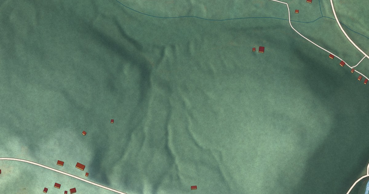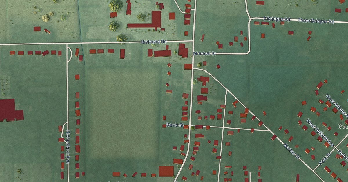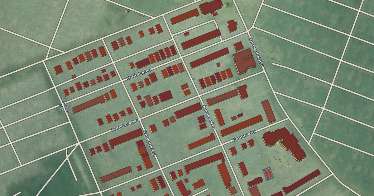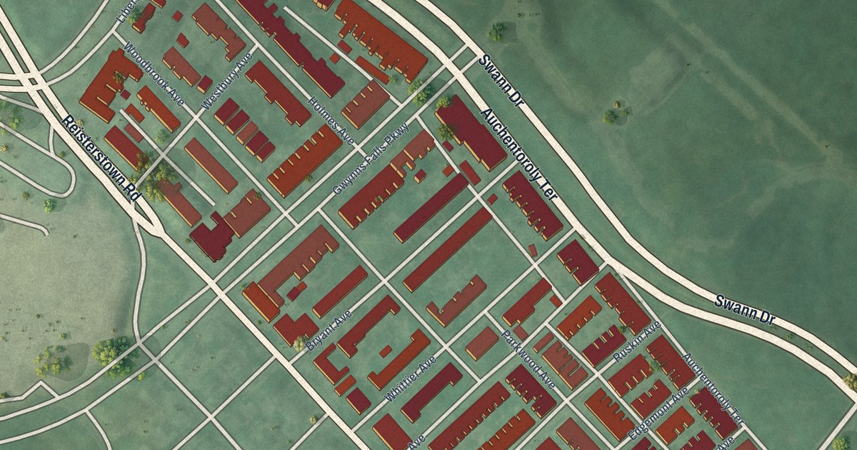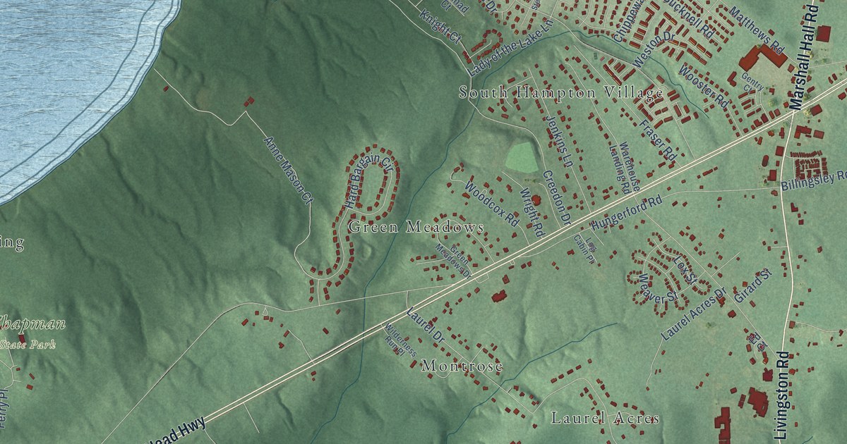
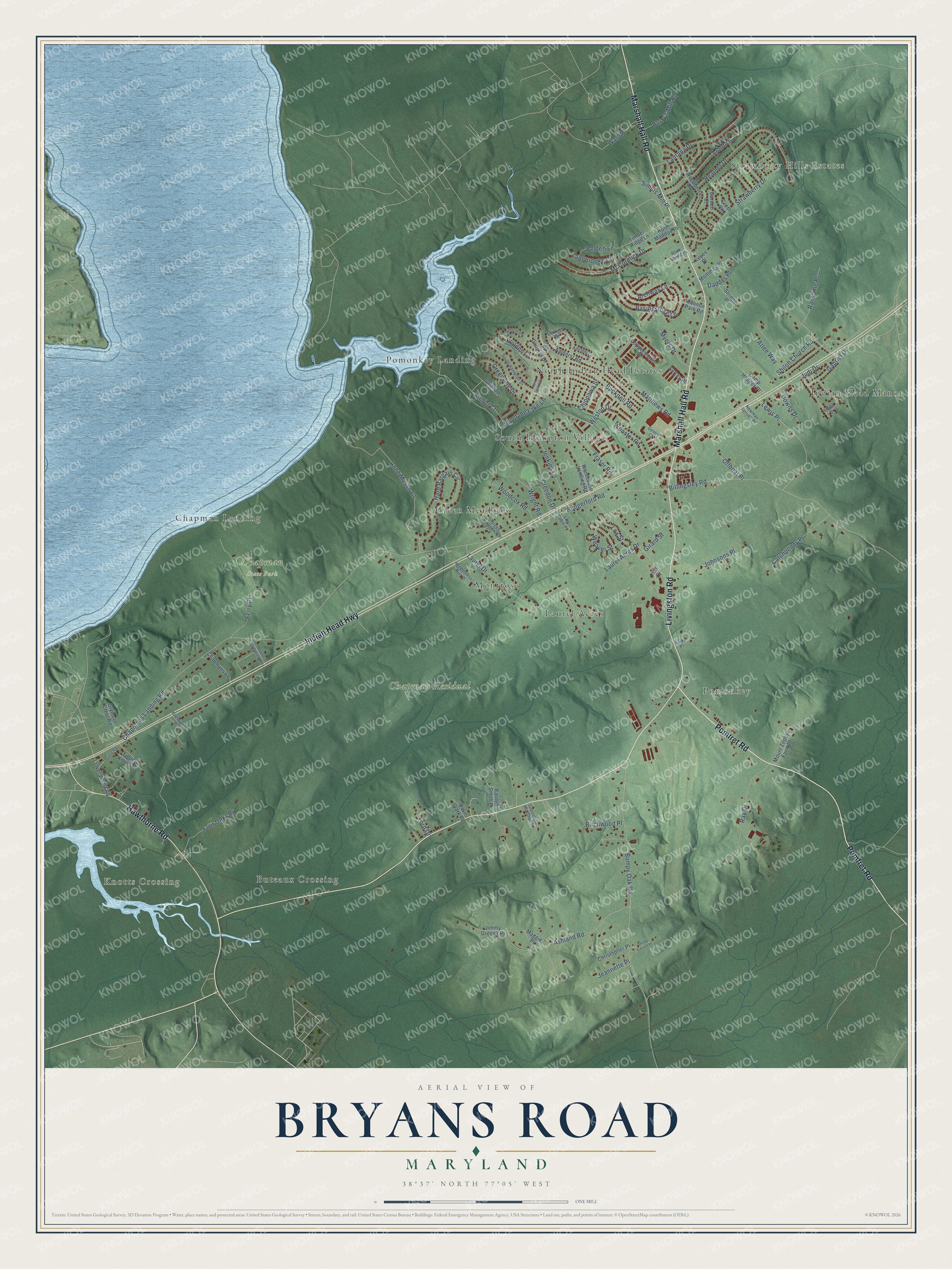
This beautifully detailed map of Bryans Road, Maryland was created in 2026 using aerial imagery combined with modern topographical, census, street and landmark data. It's a modern aerial view of Bryans Road in Charles County, Maryland, that combines modern data with a vintage aesthetic. The roads feature printed names, and if you look closely you can find your exact house accurately shown in its correct location.
Explore an aerial view of Bryans Road, Maryland
On this map you'll find Knotts Crossing, Strawberry Hills Estates, Chapman State Park, Chapman Residual, South Hampton Village, Pomonkey, Indian Head Manor, Green Meadows, Pomonkey Landing, Montrose, Buteaux Crossing, North Indian Head Estates, and more. Each red shape is a building, so zoom in on the preview and look for yours.
Every town has a first chapter, and Bryans Road is no exception. Shiloh Methodist Episcopal Church on Old Shiloh Church Road grew out of Halley's Meeting House, a private chapel that preacher Richard Halley built on his land near Pomonkey about 1835. The frame church, built about 1881, served its congregation for about 80 years, and in 1968 it became the church's thrift shop. The church housed one of the earliest Methodist congregations in Charles County, served by traveling circuit preachers. That's from the Maryland Historical Trust.
Bryans Road is a community in Charles County. The Census Bureau counted 8,650 people here in 2020.
Take a closer look at the Bryans Road map
Names on this map
These names are printed on this map.
Places: Knotts Crossing, Strawberry Hills Estates, Chapman State Park, Chapman Residual, South Hampton Village, Pomonkey, Indian Head Manor, Green Meadows, Pomonkey Landing, Montrose, Buteaux Crossing, North Indian Head Estates, Laurel Acres and Chapman Landing.
Streets and roads: Pomfret Road, Marshall Hall Road, Indian Head Highway, Livingston Road, Hawthorne Road, Lewis Place, Shiloh Church Road, Lox Street, Basingstoke Lane, Anne Mason Court, Archway Lane, Chapmans Landing Road.
More street names, A to Z
Adelphi Lane, Amherst Road, Arbor Lane, Ashland Road, Atlee Way, Auburn Court, Barnett Smith Place, Basil Clark Place, Belden Lane, Billingsley Road, Birchwood Place, Bucknell Road, Bumpy Oak Road, Burry's Mill Road, Camp Hedges Place, Cannon Park Road, Catchpenny Place, Chapmans Lane, Chippewa Street, Christopher Place, Coppersmith Place, Creedon Drive, Crest Circle, Crestwood Place, Daddys Place, Dakota Street, Downs Drive, Ed Court, Elena Drive, Ferry Place, Ford Drive, Four Oaks Place, Fraser Road, Gabriel Drive, Galahad Court, Garden Court, Gentry Court, Girard Street, Glymont Crest Road, Greenhow Marshall Place, Green Meadows Drive, Greenville Drive, Hard Bargain Circle, Heather Drive, Hungerford Road, Jeannette Place, Jenkins Lane, Jimmy Greens Place, Johnsons Place, Judi Drive, Keyes Place, Knight Court, Kuhn Maddox Place, Lady of the Lake Lane, Langbrooke Court, Lantana Drive, Laurel Acres Drive, Laurel Drive, Log Cabin Place, Lower Wharf Road, Maggies Place, Matthews Road, McCormick Drive, Mommas Place, Mount Aventine Road, Mount Zephyr Farm Place, Myers Drive, Newman Spruell Place, New Stead Court, Offbeat Place, Ransome Place, Ray Drive, Rock Spring Place, Simms Mill Place, Sir Douglas Drive, Sonny Carroll Place, South Hampton Drive, Strawberry Drive, Stringer Place, Surrey Place, Theatre Road, Timber Ridge Lane, Tippett Knolls Place, Walden Court, Walko Place, Ward Place, Warehouse Landing Road, Weaver Street, Weston Drive, Wilderness Run Place, Woodberry Drive, Woodcox Road, Wooster Road, Wright Road.
See it on a wall
The Bryans Road map as a framed print. Swipe for more.


Created by KNOWOL in 2026. The buildings are small red shapes, the roads carry their printed names, and shaded relief shows the shape of the land. The title panel reads "AERIAL VIEW OF BRYANS ROAD, MARYLAND" with 38°37' NORTH 77°05' WEST.
Hang it in the hallway, the office or the cabin, or give it to someone who left Bryans Road and still calls it home. Open the preview and look for a street you know. See sizes and frames for the Bryans Road map.