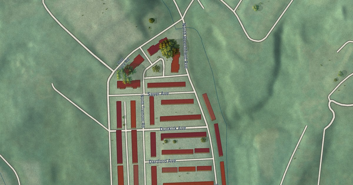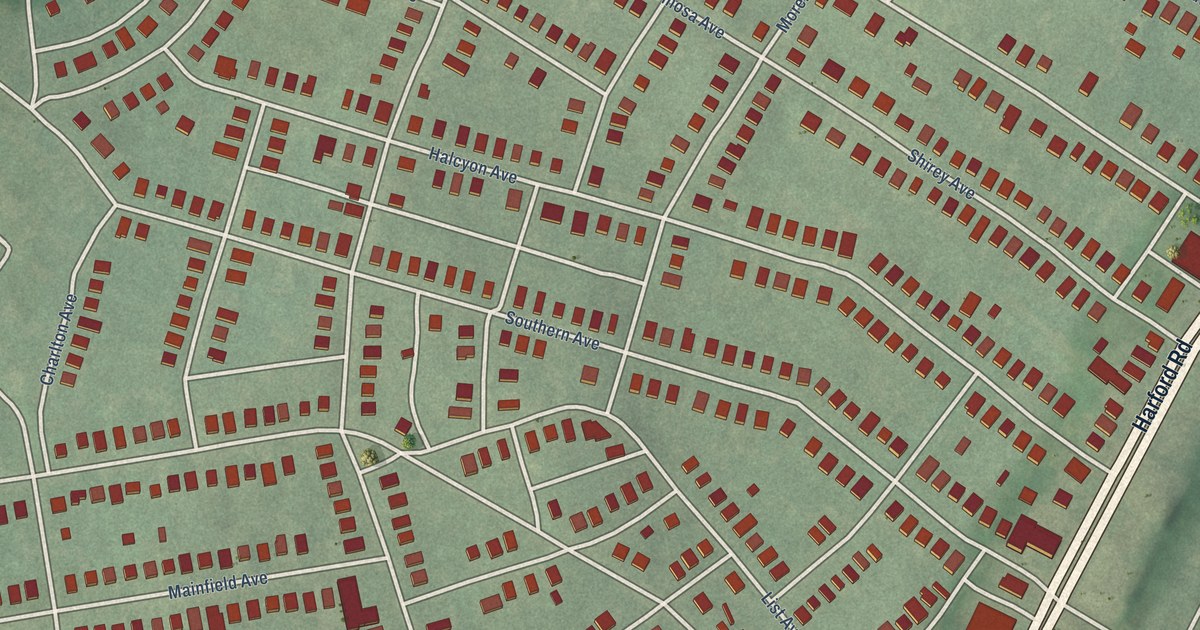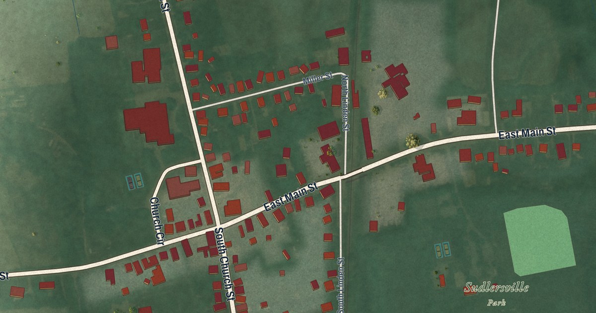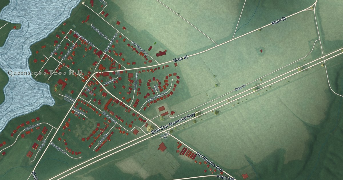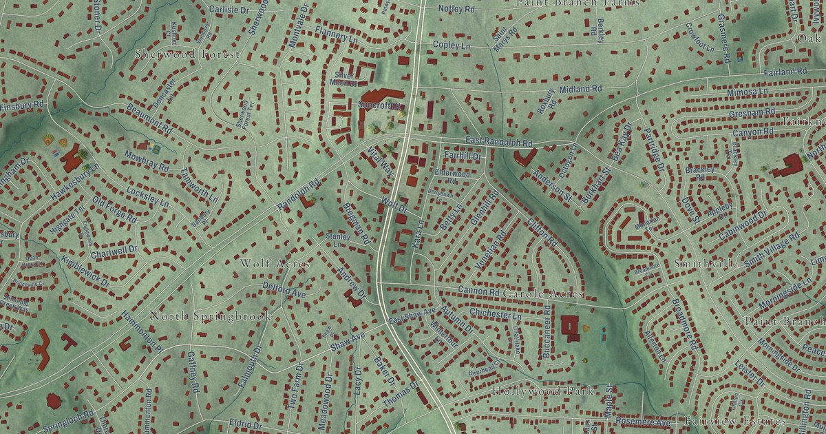
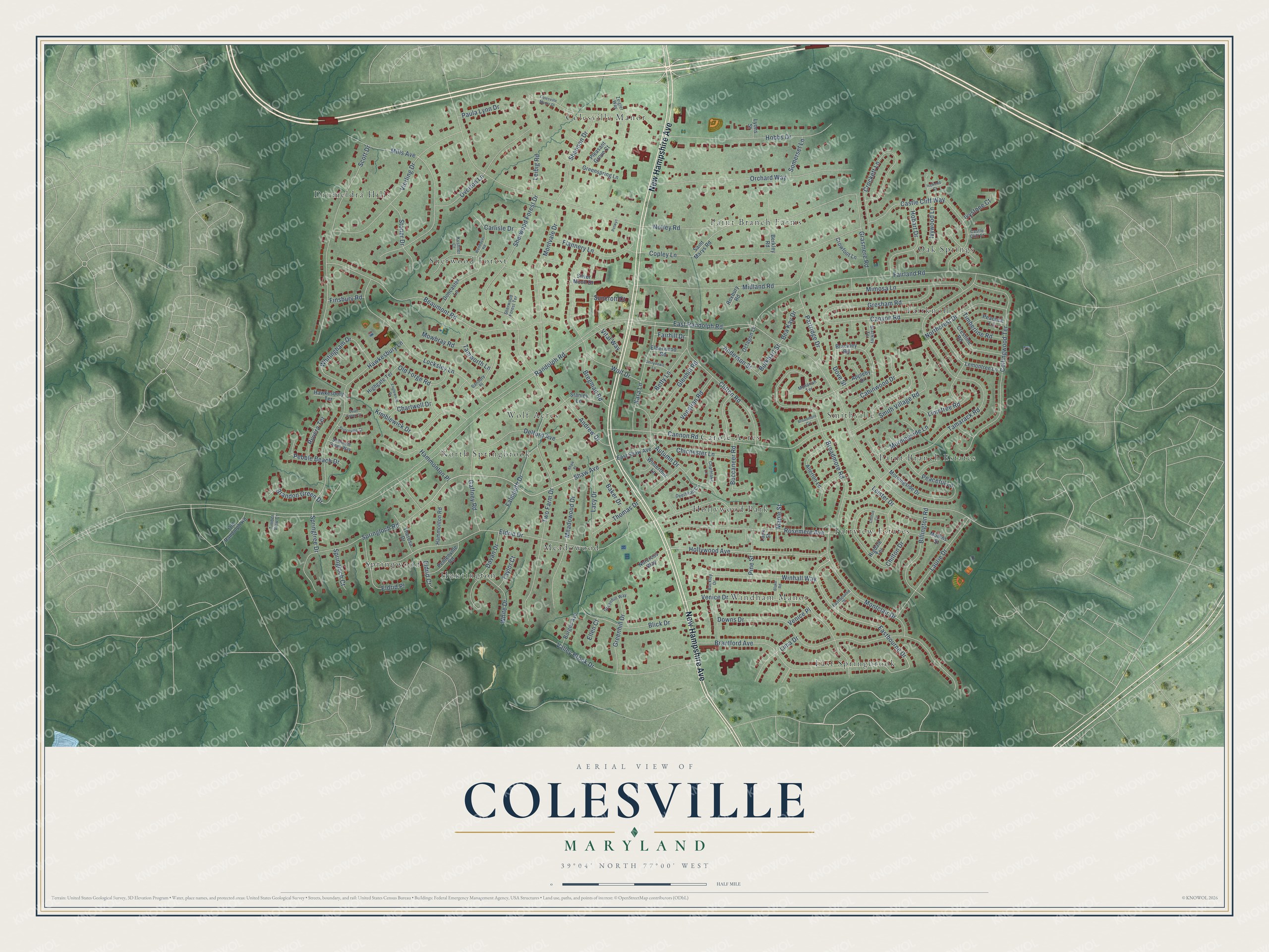
This beautifully detailed map of Colesville, Maryland was created in 2026 using aerial imagery combined with modern topographical, census, street and landmark data. It's a modern aerial view of Colesville in Montgomery County, Maryland, that combines modern data with a vintage aesthetic. The roads feature printed names, and if you look closely you can find your exact house accurately shown in its correct location.
Explore an aerial view of Colesville, Maryland
On this map you'll find Carole Acres, Springwood, Oak Springs, Drumeldra Hills, Colesville Manor, North Springbrook, East Springbrook, Paint Branch Estates, Paint Branch Farms, Fairview Estates, Huntington, Windham Manor, and more. Each red shape is a building, so zoom in on the preview and look for yours.
Colesville is a community in Montgomery County. The Census Bureau counted 15,421 people here in 2020. Colesville sits about 2 miles north of White Oak, 2 miles south of Cloverly and 2 miles southeast of Layhill. The map prints the town name in its title panel, with the coordinates below it.
Take a closer look at the Colesville map
Names on this map
These names are printed on this map.
Places: Carole Acres, Springwood, Oak Springs, Drumeldra Hills, Colesville Manor, North Springbrook, East Springbrook, Paint Branch Estates, Paint Branch Farms, Fairview Estates, Huntington, Windham Manor, Meadowood, Hollywood Park, Fairknoll, Sherwood Forest, Wolf Acres and Smithville.
Streets and roads: New Hampshire Avenue, Hollywood Avenue, Shaw Avenue, East Randolph Road, Randolph Road, Eastbourne Drive, Notley Road, Eldrid Drive, Tamarack Road, Fairland Road, Downs Drive, Beaumont Road.
More street names, A to Z
Allerton Lane, Anderson Street, Andrew Drive, Appleby Drive, Autumn Drive, Baker Drive, Banbury Place, Bea Kay Drive, Berkley Road, Betty Lane, Billington Road, Blake Road, Blick Drive, Borges Avenue, Brackley Road, Brackley Terrace, Brandon Green Drive, Brantford Avenue, Bregman Road, Broadmore Circle, Broadmore Road, Buccaneer Road, Buckley Drive, Burkhart Street, Cabinwood Drive, Cannon Road, Canyon Road, Carlisle Drive, Castle Cliff Court, Castle Cliff Way, Chartwell Drive, Chathlake Lane, Chichester Lane, Chilton Circle, Chilton Drive, Clifton Road, Colesville Manor Drive, Collingwood Terrace, Copley Lane, Crestline Road, Crockett Lane, Crowfoot Lane, Davan Drive, Deerhead Court, Delford Avenue, Derrydown Lane, Doncaster Lane, Dove Street, Eastbourne Place, East Shaw Avenue, Elderwood Road, Eldrid Court, Eldrid Place, Ellen Court, Englewood Drive, Fairhill Drive, Falmouth Drive, Finsbury Road, Flannery Lane, Gaffney Road, Glenhill Road, Grasmere Road, Greenhill Drive, Greenhill Way, Greenspring Lane, Gresham Road, Hammonton Place, Hammonton Road, Hawkesbury Lane, Hawkesbury Terrace, Highgate Terrace, Hobart Drive, Hobbs Drive, Ivystone Court, Ivywood Court, Ivywood Lane, Kara Lane, Kimblewick Drive, Kushner Court, Lacy Drive, Laurie Drive, Laux Street, Leibig Road, Leister Drive, Lemontree Lane, Lima Drive, Limetree Road, Locksley Lane, Lyons Street, Maple Street, Meadowood Drive, Midland Road, Mills Avenue, Mimosa Lane, Mondrian Terrace, Montclair Drive, Montvale Drive, Morningside Drive, Morningside Lane, Mowbray Road, Mullins Street, Norcross Way, Northcrest Drive, Octagon Lane, Old Forge Road, Old Randolph Road, Orchard Way, Overton Lane, Partridge Drive, Paula Lynn Drive, Peaceful Lane, Peacock Lane, Pebble Beach Drive, Pentenville Road, Petwyn, Pine Street, Pleasant Grove Court, Princeville Court, Quail Creek Court, Rigdale Terrace, Riviera Terrace, Rosemere Avenue, Roxbury Road, Saint Marys Road, Scott Drive, Seminole Creek Way, Shannon Drive, Shaw Place, Sherwood Forest Drive, Sherwood Forest Terrace, Silver Moon Drive, Smith Village Road, Somerset Lane, Springloch Court, Springloch Road, Springtree Drive, Stanley Lane, Stoner Drive, Suncroft Court, Tamworth Lane, Taylor Court, Theresa Drive, Thomas Drive, Timberline Road, Timber View Court, Two Farm Drive, Valley Brook Drive, Venetian Road, Venice Drive, Venice Place, Vierling Drive, Vital Way, Wendover Road, White Drive, Whitingham Drive, Winhall Way, Winterthur Lane, Wolf Drive, Zeigler Way.
Created by KNOWOL in 2026. The buildings are small red shapes, the roads carry their printed names, and shaded relief shows the shape of the land. The title panel reads "AERIAL VIEW OF COLESVILLE, MARYLAND" with 39°04' NORTH 77°00' WEST.
It looks right in a kitchen, an office or a den, and it's a gift for anyone who grew up in Colesville or moved away. Open the preview and find your street. See sizes and frames for the Colesville map.