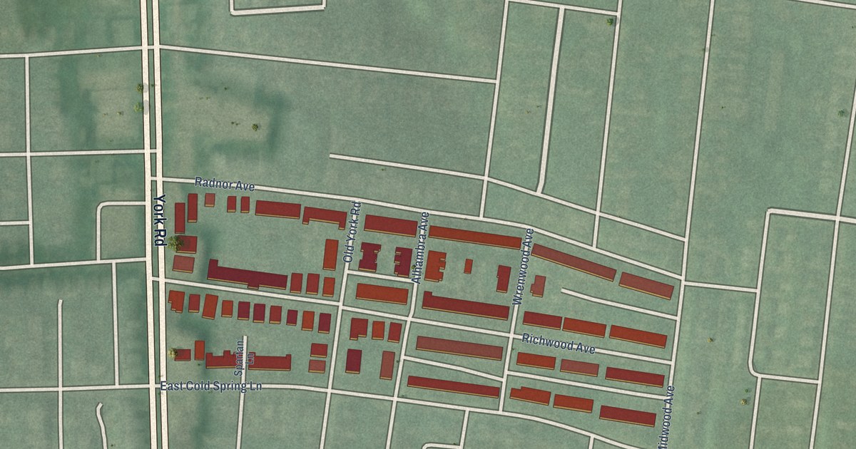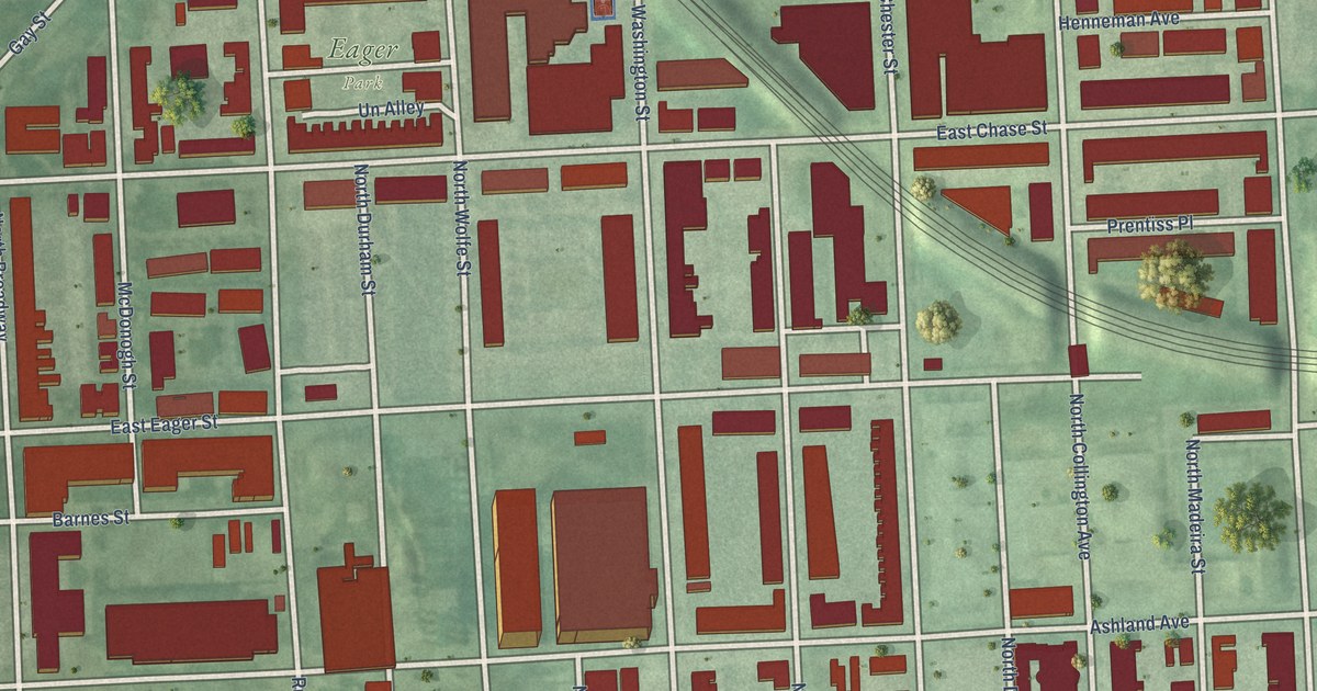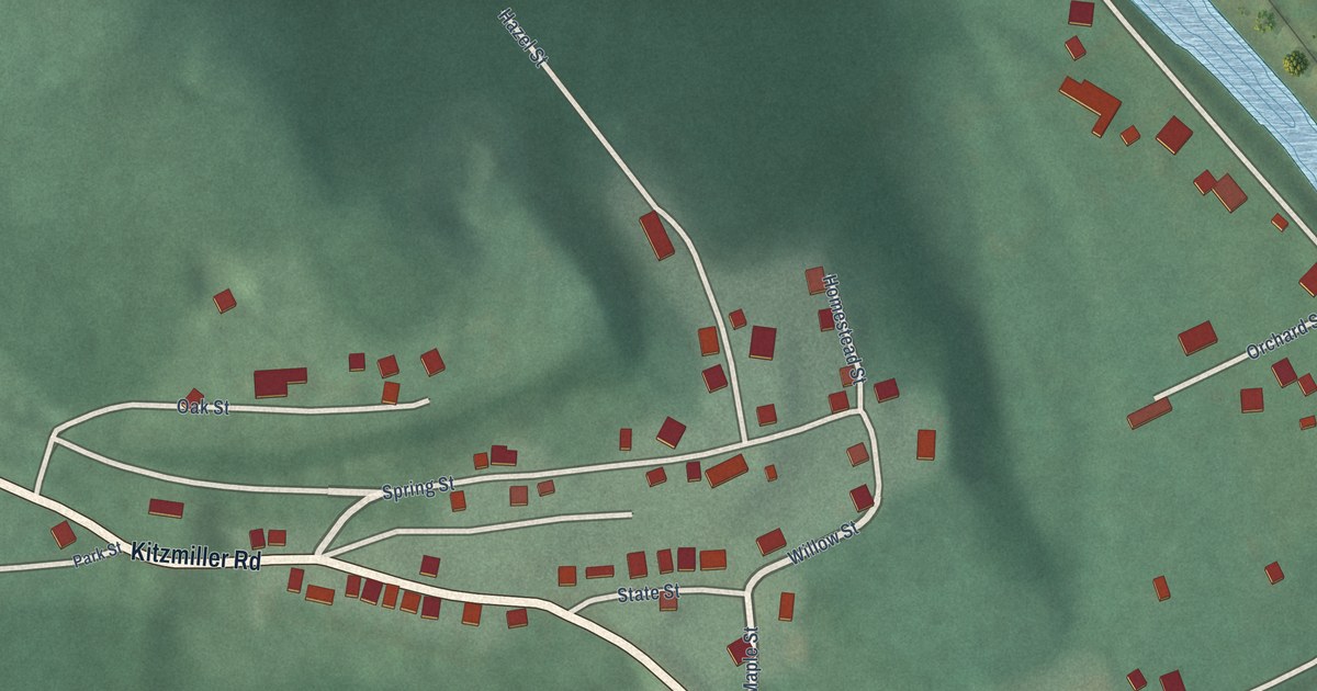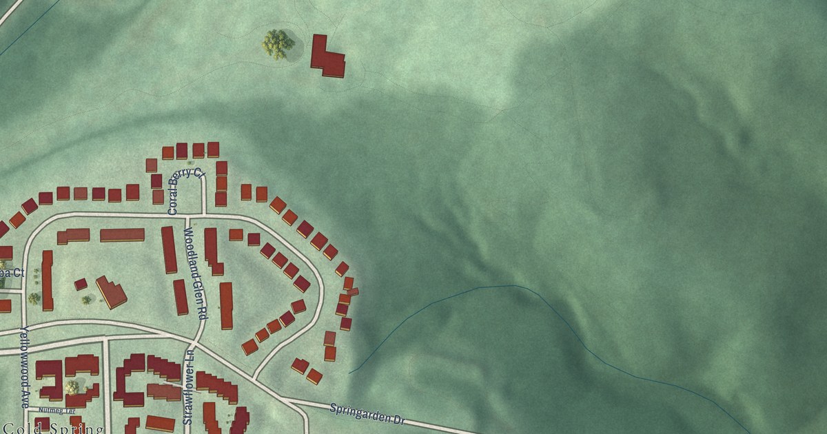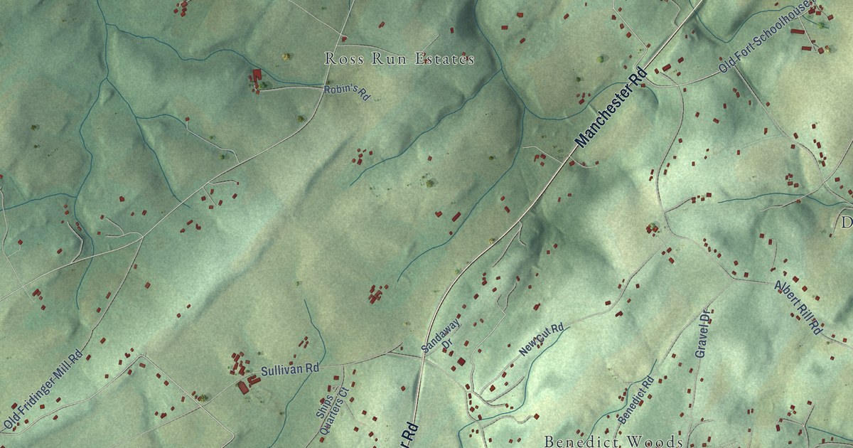
This beautifully detailed map of Cranberry, Maryland was created in 2026 using aerial imagery combined with modern topographical, census, street and landmark data. It’s a one-of-a-kind view of Cranberry that combines accurate data with a vintage aesthetic. The map shows every building in its true location, many of the roads carry their names, and the shaded topographic relief shows the shape of the land.
Explore an aerial view of Cranberry, Maryland
On the map you’ll find Spiegle Cooperative Wildlife Management Area, Mexico, Reeds Village, Benedict Woods, Dayspring Estates, Village of Bachman, Roseville Heights, Fridinger Estates, Snydersburg Manor, Ross Run Estates, Hidden Valley, Spring Meadow, and more. If you look closely you can even find your house accurately drawn in its correct location. Zoom in on the preview to look for yours.
Take a closer look at the Cranberry map
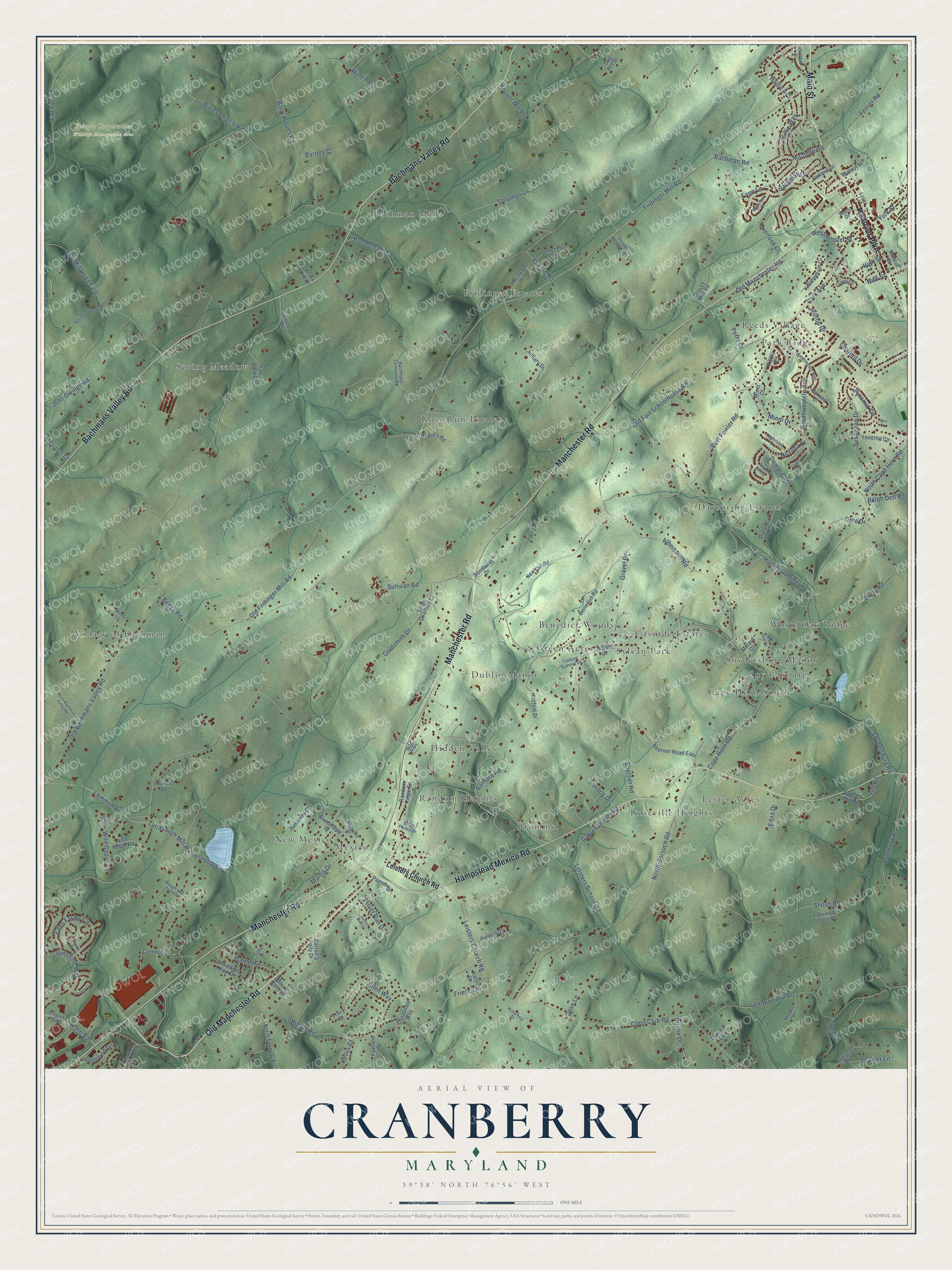
Names on this map
These names are printed on this map.
Places: Spiegle Cooperative Wildlife Management Area, Mexico, Reeds Village, Benedict Woods, Dayspring Estates, Village of Bachman, Roseville Heights, Fridinger Estates, Snydersburg Manor, Ross Run Estates, Hidden Valley, Spring Meadow, Lester Acres, Dublin Manor, Bachman Mills, Cascade Estates, Brummel, White Oak Ridge, Random Heights, Cape Horn South, Green Acres, New Mexico, Sylvan Park, Park Ridge and Snydersburg.
Streets and roads: Old Manchester Road, Manchester Road, Bachmans Valley Road, Hampstead Mexico Road, Hanover Pike, Main Street, Albert Rill Road, Old Fort Schoolhouse Road, Beggs Road, Bert Fowler Road, Westminster Street, Fridinger Mill Road.
More street names, A to Z
Acorn Hill Drive, Allen Way, Arizona Way, Bachman Court, Bachman Road, Bachmans Cemetery Road, Back Woods Road, Barbara Road, Barney Court, Benedict Road, Bixler Church Road, Boerner Road, Boerner Road East, Boog Road, Brehm Road, Brilhart Mill Road, Brodbeck Road, Brougham Court, Brunetta Way, Cape Horn Road, Carroll's Folly Drive, Charmil Drive, Chazadale Way, Choice Court, Cody Court, Coleman Court, Coon Club Road, Corona Court, Correll Drive, Cranberry Road North, Critter Drive, Crown Circle, Demario Drive, Dove Lane, Duane Drive, Dug Hill Drive, Duncan Lane, Eckard Road, Eden Farms Circle, Edna Drive, Englar Road, Farm Lane, Farm View Drive, Ferrier Road, Foxfield Drive, Friese Lane, Gablehammer Road, Gahle Drive, Gahle Road, Goldenrod Terrace, Goldsmith Drive, Gravel Drive, Groves Mill Road, Guadelupe Drive, Hacienda Court, Hahn Road, Hallie Avenue, Harvey Gummel Road, Highcrest Court, High Street, Hillary Drive, Hilltop Drive, Hoffman Mill Road, Holland Drive, Homer Drive, Homestead, Homestead Drive, Hoover Mill Road, Hosfeld Drive, Irish Rebel Road, John Owings Road, Kats Drive, Kellys Court, Killarney Drive, Laverne Circle, Leisters Church Road, Leisters School Road, Lemmon Road, London Court, Long Lane, Lucabaugh Mill Road, Marpete Drive, Mar Sue Drive, Martin Drive, Michelle Road, Millard Drive, Millie Way, Mindi Court, Mindi Drive, Monroe Street, Morefield Court, Mountain View Drive, Mount Holly Drive, Nevada Drive, New Cut Road, New Street, North Bachman Valley Road, North Cape Horn Road, North Gorsuch Road, North Tannery Road, Ogg Road, Old Bachmans Valley Road, Old Fridinger Mill Road, Old Frindinger Mill, Old Road, Opie Drive, Overlook Court, Paper Mill Drive, Park Avenue, Paxser Drive, Perry Drive, Pollard Drive, Pyramid Circle, Quantim Court, Quinan Crest Drive, Rakes Drive, Ralph Dell Road, Random Ridge Road, Rinehart Road, Robin's Road, Rough and Tumble, Sandaway Drive, Saw Mill Road East, Seniorita Court, Shamer Lane, Shamer Run Drive, Shiloh Road, Ships Quarters Court, Silva Court, Sleepy Meadow Drive, Small Farms Drive, Snydersburg Road, Solomon Lane, Southwestern Avenue, Spring Meadow Road, Starwood Drive, Stelchest Drive, Sullivan Road, Sundog Drive, Sunshine Way, Susanann Drive, Timber Summit Drive, Tracy Court, Velvet Run Court, Velvet Run Drive, Vistas Drive, Walnut Street, Walsh Drive, Washington Way, Wild Goose Court, Windy Court, Wine Road, Wood Drive, York Street.
See it on a wall
The Cranberry map as a framed print. Swipe for more.


This beautifully detailed map of Cranberry makes an attractive addition to your office, library, or den, and it can even be used to teach children the geography and history of the area. It also makes a great gift for anyone with Cranberry roots. When you’re done exploring, click here to get your copy of the Cranberry map.