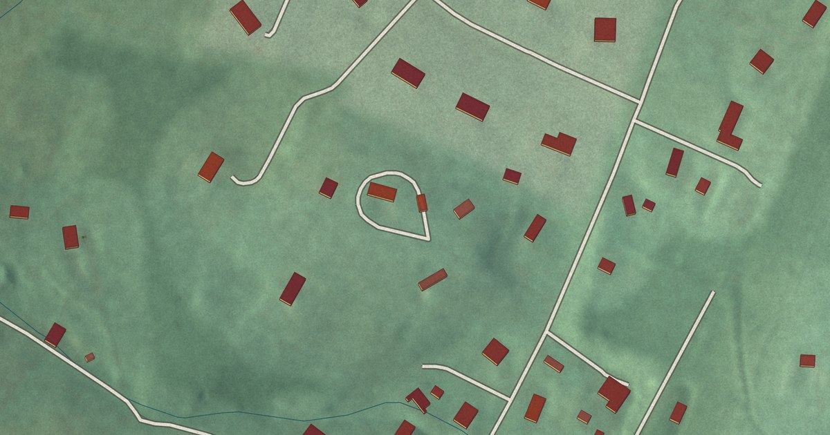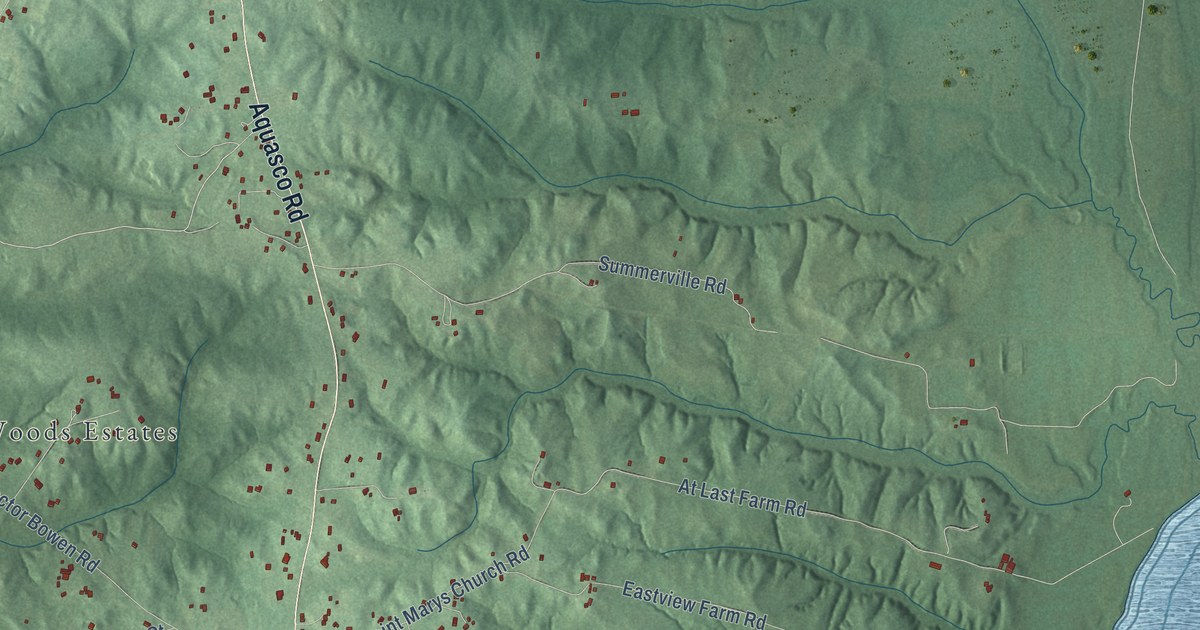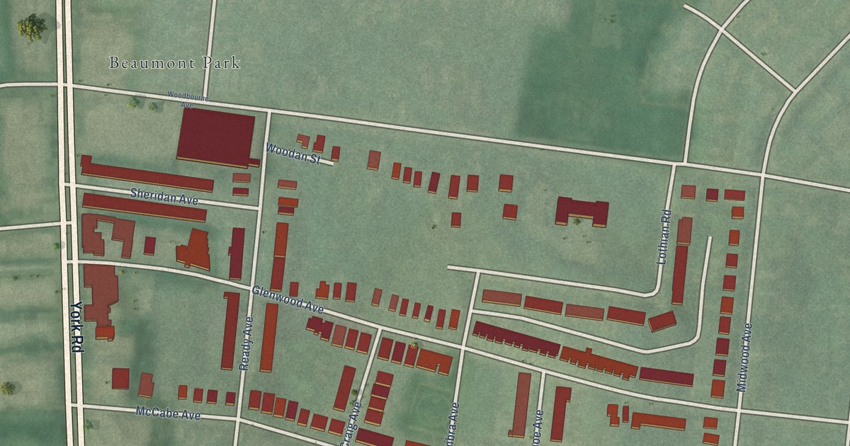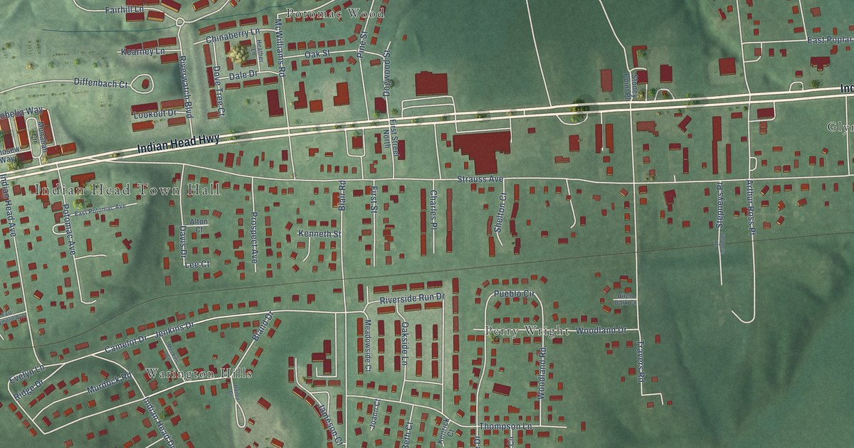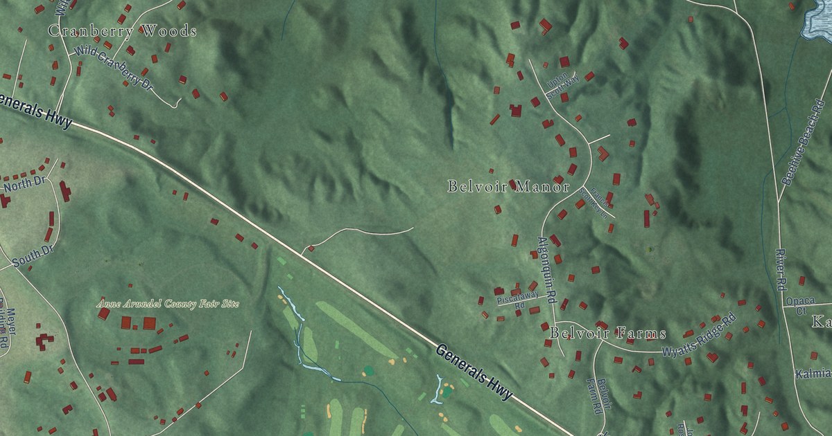
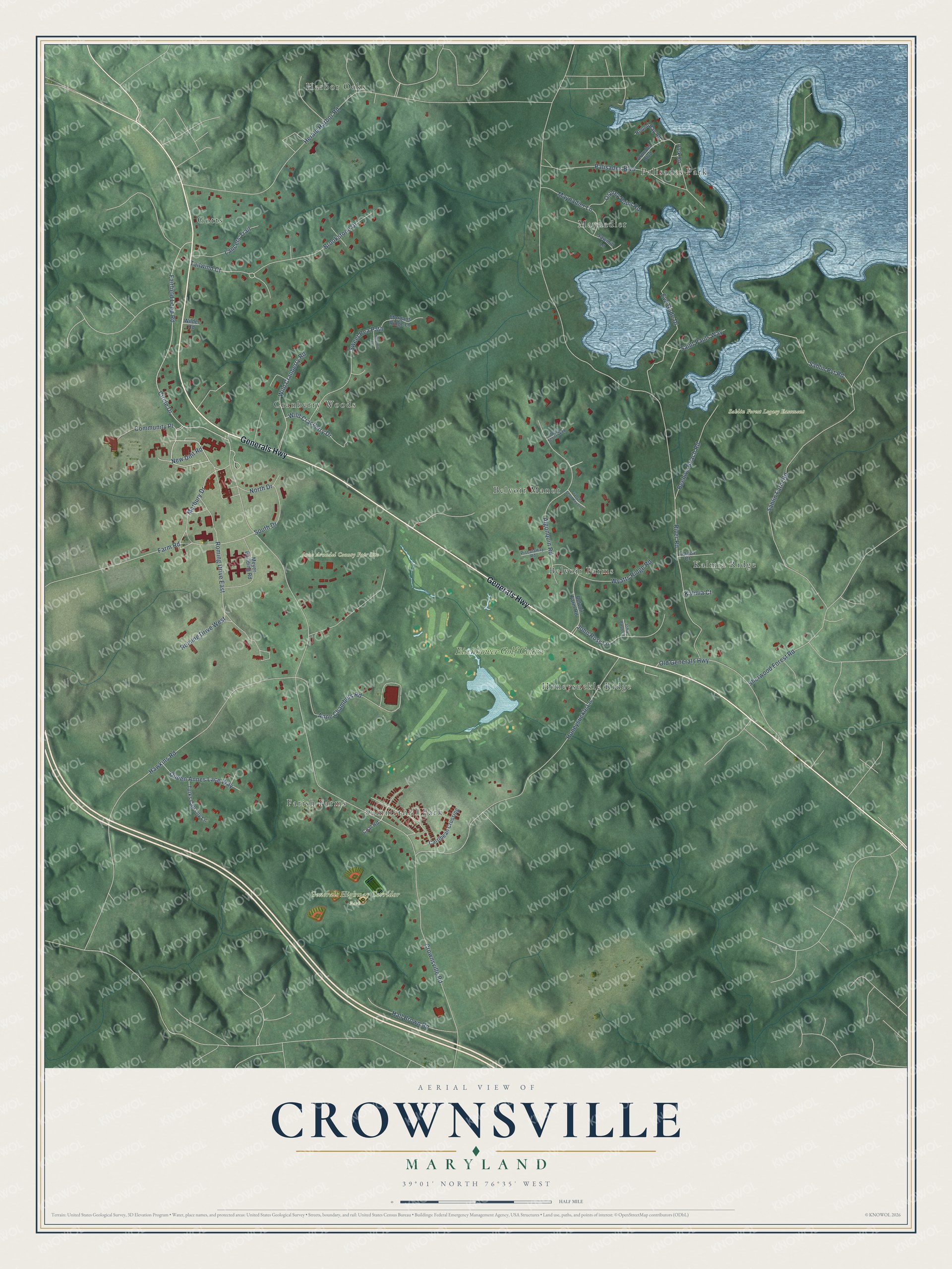
This beautifully detailed map of Crownsville, Maryland was created in 2026 using aerial imagery combined with modern topographical, census, street and landmark data. It's a modern aerial view of Crownsville in Anne Arundel County, Maryland, that combines modern data with a vintage aesthetic. The roads feature printed names, and if you look closely you can find your exact house accurately shown in its correct location.
Explore an aerial view of Crownsville, Maryland
On this map you'll find Anne Arundel County Fair Site, Generals Highway Corridor Park, Sahlin Forest Legacy Easement, Gotts, Harbor Oaks, Palisades Park, Kalmia Ridge, Honeysuckle Ridge, Cranberry Woods, Summerhill Park, Maynadier, Belvoir Manor, and more. Each red shape is a building, so zoom in on the preview and look for yours.
Crownsville is a community in Anne Arundel County. The Census Bureau counted 1,924 people here in 2020. Crownsville sits about 2 miles southwest of Herald Harbor, 3 miles northwest of Parole and 3 miles south of Arden on the Severn. The map prints the town name in its title panel, with the coordinates below it.
Take a closer look at the Crownsville map
Names on this map
These names are printed on this map.
Places: Anne Arundel County Fair Site, Generals Highway Corridor Park, Sahlin Forest Legacy Easement, Gotts, Harbor Oaks, Palisades Park, Kalmia Ridge, Honeysuckle Ridge, Cranberry Woods, Summerhill Park, Maynadier, Belvoir Manor, Belvoir Farms, Farish Farms and Eisenhower Golf Course.
Streets and roads: Generals Highway, Circle Drive, Marbury Drive, Beehive Beach Road, Tailwind Court, Crownsville Road, River Road, Herald Harbor Road, Honeysuckle Lane, Sahlin Farm Road, Fairfield Loop Road, Hawkins Road.
More street names, A to Z
Algonquin Road, Anne Chambers Road, Arundel Boulevard, Belvoir Farm Road, Briarhill Lane, Brookstone Drive, Carribean Crossing, Coal Road, Community Place, Eva Gude Drive, Farm Road, Francis Scott Key Lane, Hall Brown Road, John Ross Court, John Ross Lane, Kalmia Court, Lancers Trail, Maynadier Lane, Meyer Building Road, Morgans Ridge Lane, New Unit Road, North Drive, Old Generals Highway, Opaca Court, Osprey Point Road, Palisades Boulevard, Park Road, Piscataway Road, Queen Annes Lace Way, Roming Drive East, Roming Drive West, Round Bay Road, Sahlin Pvt Road, Saint Pauls Way, Sawmill Lane, Sherwood Forest Road, South Drive, Sweet Pea Path, Turks Cap Lily Lane, Upton Scott Way, Wild Cranberry Drive, Wild Cranberry Road, Wilder Road, Wyatts Ridge Road.
See it on a wall
The Crownsville map as a framed print. Swipe for more.


Created by KNOWOL in 2026. The buildings are small red shapes, the roads carry their printed names, and shaded relief shows the shape of the land. The title panel reads "AERIAL VIEW OF CROWNSVILLE, MARYLAND" with 39°01' NORTH 76°35' WEST.
Hang it in the hallway, the office or the cabin, or give it to someone who left Crownsville and still calls it home. Open the preview and look for a street you know. See sizes and frames for the Crownsville map.