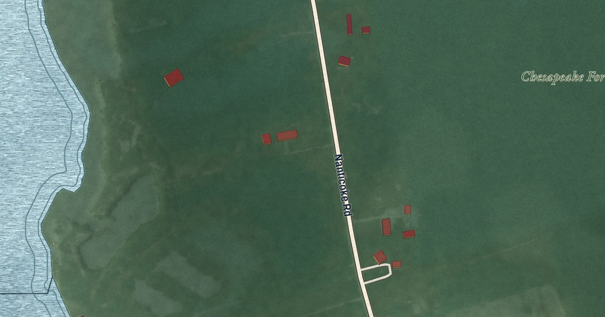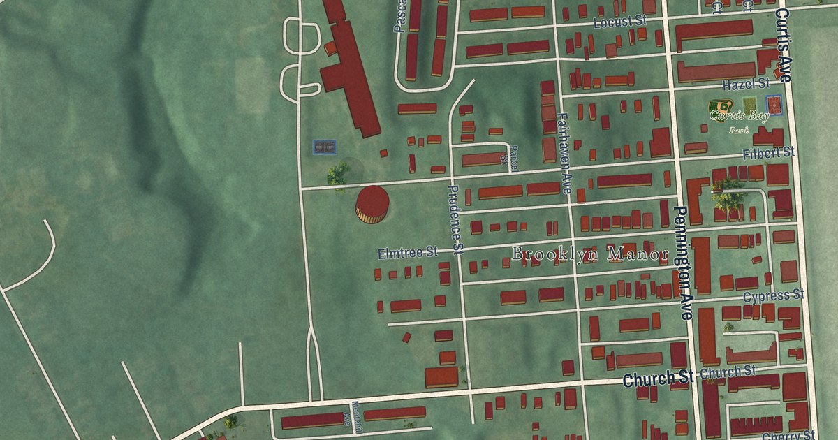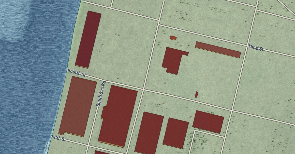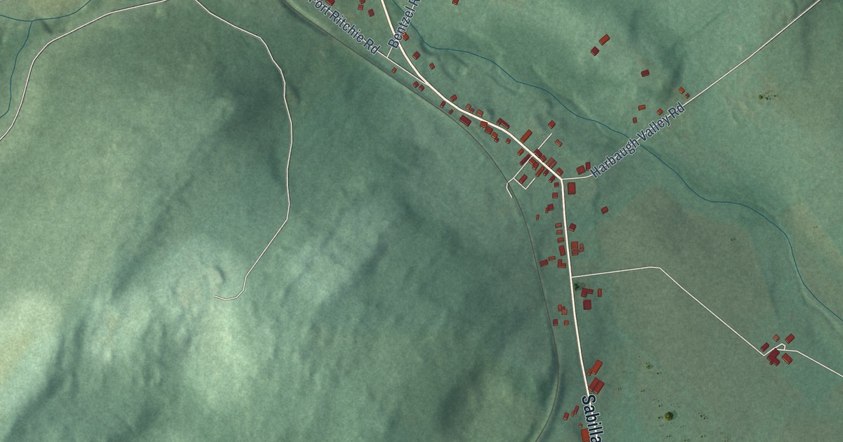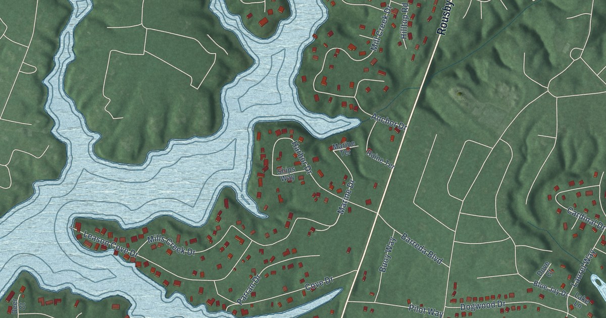
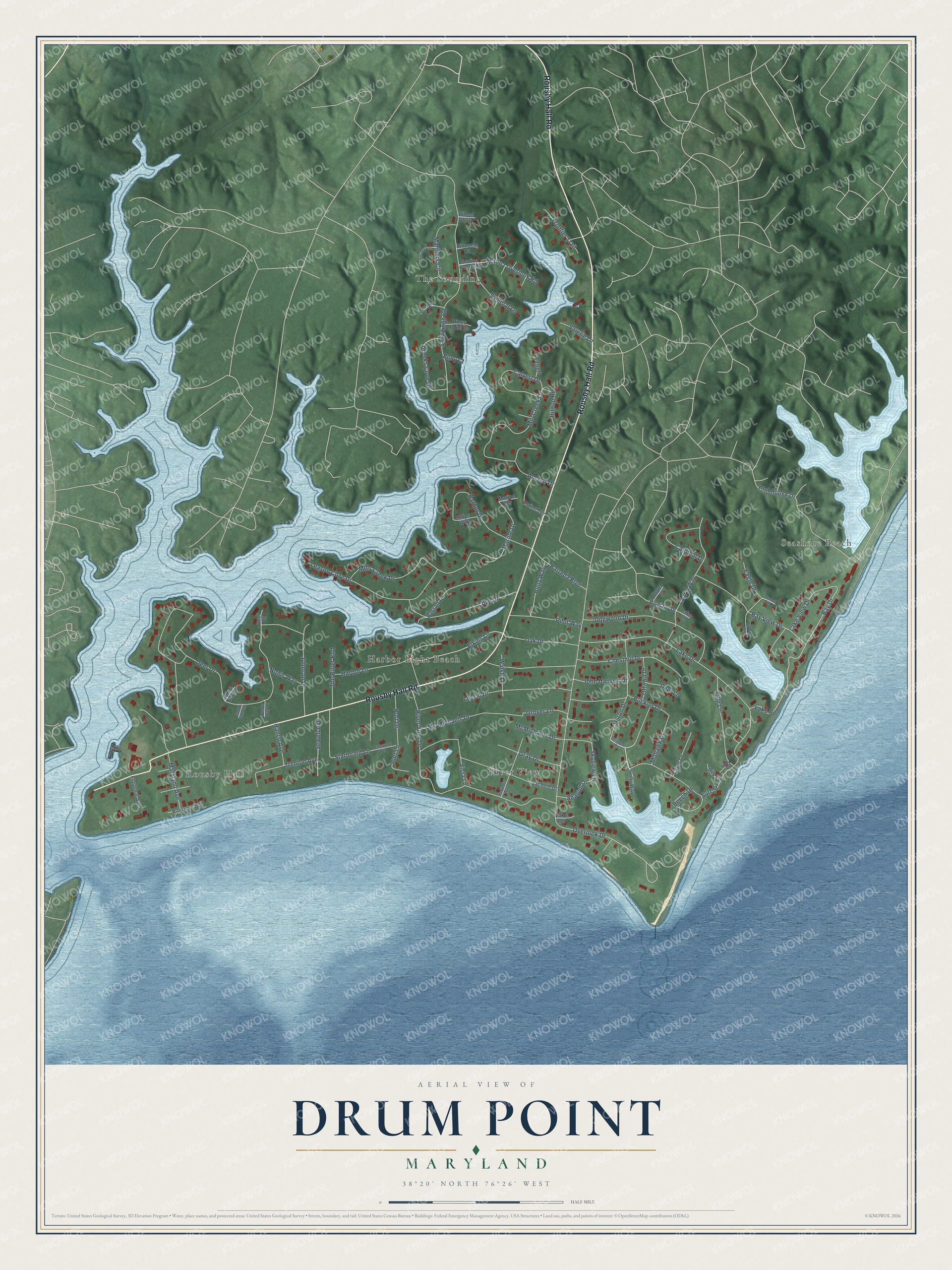
This beautifully detailed map of Drum Point, Maryland was created in 2026 using aerial imagery combined with modern topographical, census, street and landmark data. It's a modern aerial view of Drum Point in Calvert County, Maryland, that combines modern data with a vintage aesthetic. The roads feature printed names, and if you look closely you can find your exact house accurately shown in its correct location.
Explore an aerial view of Drum Point, Maryland
On this map you'll find Harbor Light Beach, Seashore Beach, Rousby Hall, The Sounding, River View, Rousby Hall Road, Elkins Lane, Marine Drive, Bay Drive, Deer Drive, Overlook Drive, Barreda Boulevard, and more. Each red shape is a building, so zoom in on the preview and look for yours.
Drum Point is a community in Calvert County. The Census Bureau counted 2,553 people here in 2020. Drum Point sits about 2 miles southeast of Solomons, 2 miles southwest of Chesapeake Ranch Estates and 2 miles south of Lusby. The map prints the town name in its title panel, with the coordinates below it.
Take a closer look at the Drum Point map
Names on this map
These names are printed on this map.
Places: Harbor Light Beach, Seashore Beach, Rousby Hall, The Sounding and River View.
Streets and roads: Rousby Hall Road, Elkins Lane, Marine Drive, Bay Drive, Deer Drive, Overlook Drive, Barreda Boulevard, Lake Drive, Soundings Road, Chestnut Drive, Lessin Drive, Mills Creek Drive.
More street names, A to Z
Anchor Drive, Anchor Lane, Bay View Drive, Beech Drive, Ben's Way Drive, Binnacle Court, Blue Jay Drive, Brooks Cove Drive, Buckler Drive, Buoy Court, Buoy Way, Calvert Court, Calvert Drive, Calvert Terrace, Cardinal Drive, Clubhouse Drive, Court David, Court Steven, Cove Drive, Cree Drive, Deer Court, Deer Lane, Delaware Drive, Dogwood Drive, Dove Court, Eagle Drive, Florence Avenue, Frontier Trail, Gray Drive, Grover Lane, Hance Avenue, Harbor Drive, Harbor Lane, Hilltop Road, Holly Way, Huron Drive, Iris Lane, Iroquois Way, John Hansen Drive, Johnson Drive, Lake Lane, Lake Place, Lake Terrace, Lake View Drive, Laurel Lane, Laurel Way, Leason Cove Drive, Marina Overlook, Marina Overlook Road, Mariners Circle, Marine Terrace, Maryland Avenue, Mc Michaels Drive, McMichaels Drive, Mill Creek Drive, Mohawk Drive, Nonis Way, Oak Drive, Ottawa Drive, Parran Drive, Patuxent Avenue, Patuxent Drive, Pilot Way, Pine Lane, Pine Place, Piney Point Lane, Port Drive, Port Lane, Raine Terrace, River View Drive, Sachem Drive, Sailboat Lane, Seagull Lane, Sewell Avenue, Ships Way, Skyview Lane, Starboard Lane, Surf Street, The Bitter End, Trenton Avenue, Valerie Lane, Vista Lane, Walnut Drive, Walsh Lane, Wheel Way.
See it on a wall
The Drum Point map as a framed print. Swipe for more.


Created by KNOWOL in 2026. The buildings are small red shapes, the roads carry their printed names, and shaded relief shows the shape of the land. The title panel reads "AERIAL VIEW OF DRUM POINT, MARYLAND" with 38°20' NORTH 76°26' WEST.
It looks right in a kitchen, an office or a den, and it's a gift for anyone who grew up in Drum Point or moved away. Open the preview and find your street. See sizes and frames for the Drum Point map.