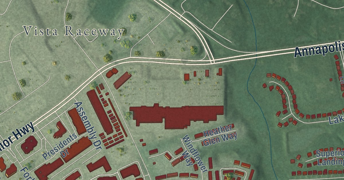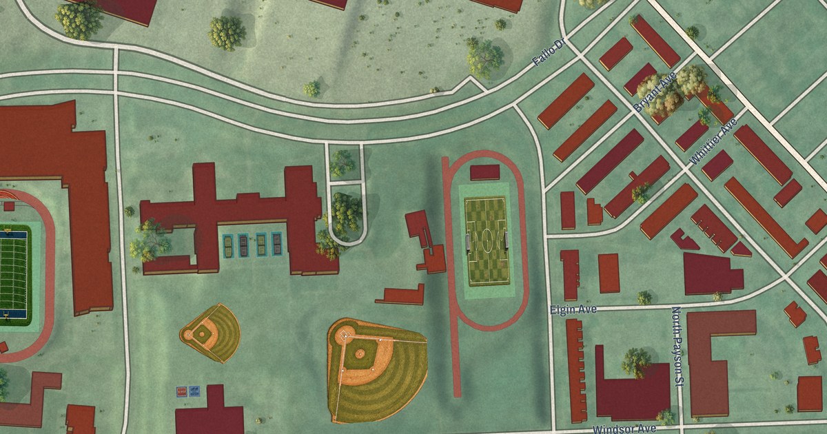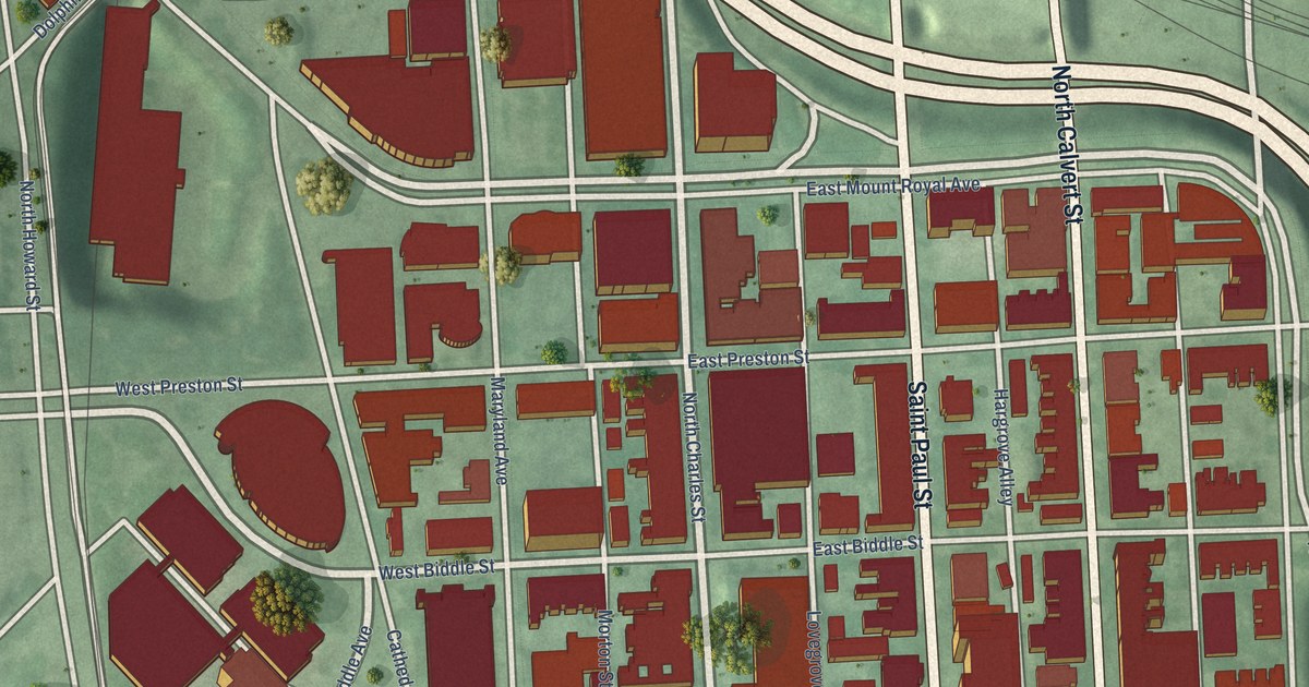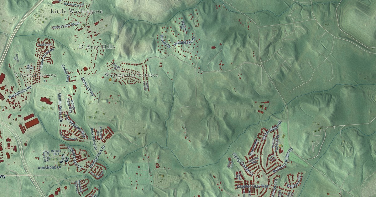
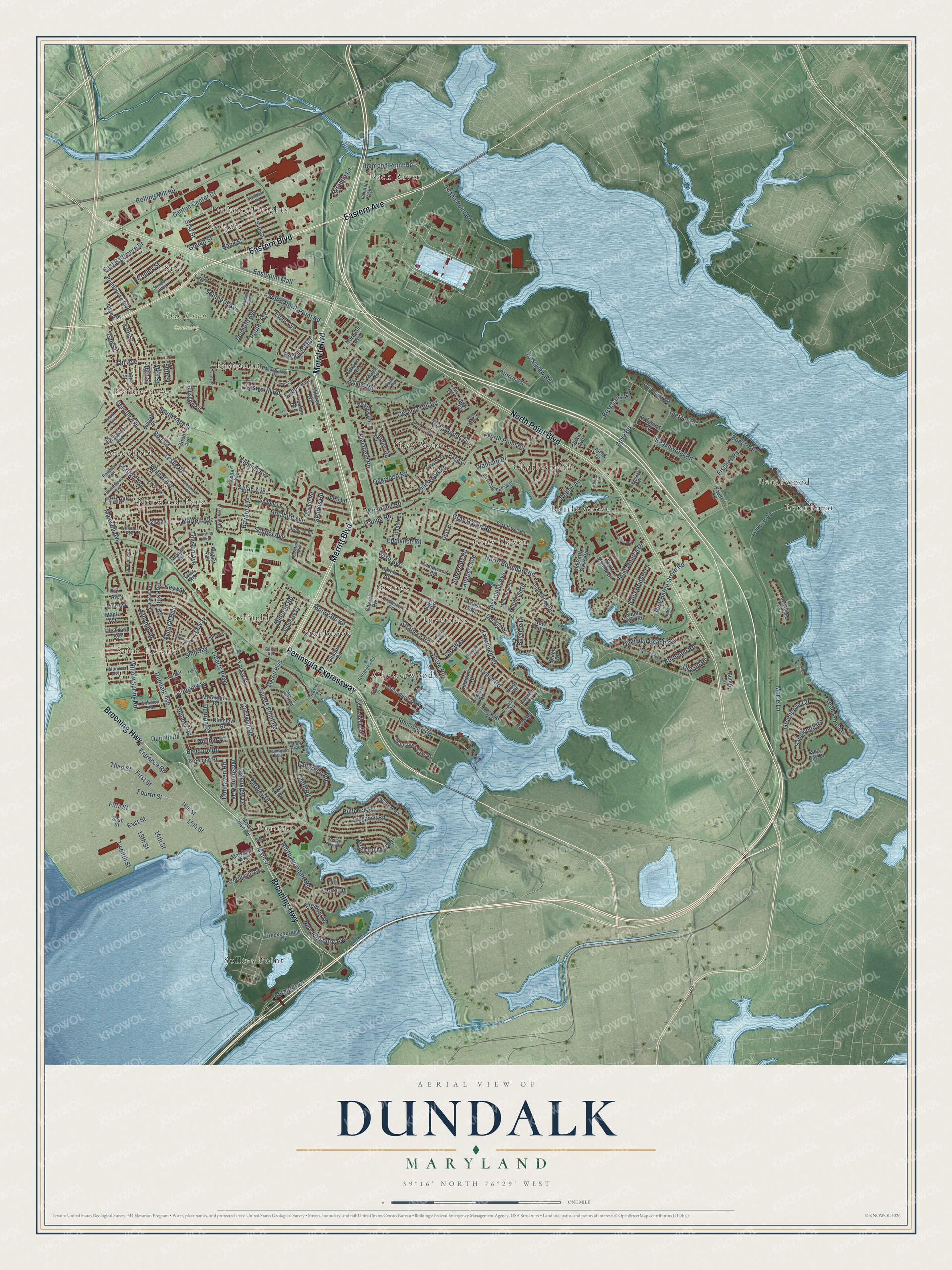
This beautifully detailed map of Dundalk, Maryland was created in 2026 using aerial imagery combined with modern topographical, census, street and landmark data. It’s a one-of-a-kind view of Dundalk that combines accurate data with a vintage aesthetic. The map shows every building in its true location, many of the roads carry their names, and the shaded topographic relief shows the shape of the land.
Explore an aerial view of Dundalk, Maryland
On the map you’ll find Oak Lawn Cemetery, Back River, Battle Grove, Beachwood, Charlesmont, Chesterwood, Colgate, Defense Heights, Eastfield, Eastpoint, Graceland, Grange, and more. If you look closely you can even find your house accurately drawn in its correct location. Zoom in on the preview to look for yours.
Did you know this piece of Dundalk, Maryland history?
From Services.arcgis.com: "Veteran World War I pilots formed club and opened Dundalk Flying Field in 1919."
Dundalk is a community in Baltimore County.
Take a closer look at the Dundalk map
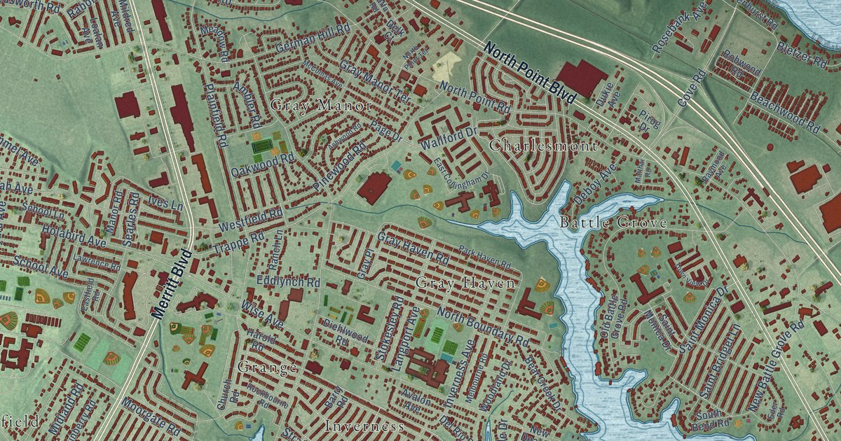
Street and place names on the Dundalk, Maryland map
These names are printed on the map of Dundalk, Maryland.
Places: Oak Lawn Cemetery, Back River, Battle Grove, Beachwood, Charlesmont, Chesterwood, Colgate, Defense Heights, Eastfield, Eastpoint, Graceland, Grange, Gray Haven, Gray Manor, Harborview, Inverness, Lynnhurst, Norwood Park, Saint Helena, Sollers Point, Stab, Stanbrook and Turner.
Streets and roads: Peninsula Expressway, Merritt Boulevard, Broening Highway, Eastern Avenue, Eastern Boulevard, North Point Boulevard, Diamond Point Road, Willow Spring Road, Dundalk Avenue, Belclare Road, Alvah Avenue, Kimmel Avenue.
More street names, A to Z
13th Street, 14th Street, 15th Street, 16th Street, 45th Street, 46th Street, 47th Street, 48th Street, 49th Street, 50th Street, 51st Street, 54th Street, Adams Place, Admiral Boulevard, Ambler Road, Ashwood Road, August Avenue, Authority Drive, Avalon Avenue, Baltimore Avenue, Bank Street, Barry Road, Bayard Avenue, Bayside Drive, Beach Drive, Beach Road, Beachwood Road, Beal Drive, Bear Creek Drive, Belmont Avenue, Berkshire Road, Bessemer Avenue, Beverly Road, Birch Avenue, Bletzer Road, Breckenbridge Drive, Brentwood Avenue, Broadship Road, Broening Road, Brookview Road, Bullneck Road, Bunny Lane, Burnham Road, Canton Center Drive, Carson Avenue, Center Place, Church Road, Cleveland Avenue, Conley Street, Cornwall Road, Cove Road, Crafton Avenue, Deboy Avenue, Delk Court, Del Rio Road, Delvale Avenue, Delvale Place, Denbury Drive, Diehlwood Road, Drexel Road, Dukie Avenue, Duluth Avenue, Dunbar Road, Dunglow Road, Dunhaven Road, Dunhill Road, Dunleer Road, Dunmanway, Dunran Road, Dunshire Way, Durwood Road, East Baltimore Street, East Collingham Drive, Eastdale Road, Eastfield Road, Eastpoint Mall, East Street, Eddlynch Road, Eder Road, Edsworth Road, Eilers Avenue, Elton Avenue, Entrance Road, Ewald Avenue, Fairgreen Road, Fairview Avenue, Fait Avenue, Faust Road, Fenway, Fifth Avenue, Fifth Street, First Street, Fischer Road, Flagship Road, Fleming Drive, Flora Drive, Fourth Street, German Hill Road, Glenhurst Road, Gough Street, Graves Court, Gray Haven Road, Gray Manor Terrace, Gray Place, Greencove Circle, Guy Way, Harold Road, Hillshire Road, Holabird Avenue, Hydrangea Road, Inverness Avenue, Inverton Road, Island Point Road, Ives Lane, Jackson Road, Jasmine Road, Kavanagh Road, Kentway, Keyway, Kinship Road, Langport Avenue, Larkhall Road, Lawrence Road, Leeway, Leslie Road, Liberty Parkway, Libs Lane, Loalan Avenue, Loganview Drive, Longpoint Road, Louth Road, Lynch Road, Lynhurst Road, Main Street, Manchester Road, Manor Road, Maple Avenue, Maple Road, Marshall Road, Martell Avenue, Martini Avenue, Maryland Avenue, Matthai Road, Maxwell Avenue, McComas Avenue, McShane Way, Meadow Avenue, Meadow Road, Melbourne Road, Merritt Point Road, Midland Road, Mildred Avenue, Mirabile Lane, Moorgate Road, Mornington Road, Morse Lane, Mount Olive Road, Murray Point Road, New Battle Grove Road, New Deal Place, New Pittsburg Avenue, Norbush Avenue, Norris Lane, North Avondale Road, North Boundary Road, North Point Road, North Point Terrace, Northview Road, Oak Avenue, Oakleigh Beach Road, Oak Street, Oakwood Road, Old Battle Grove Road, Oriole Avenue, Oxley Road, Page Drive, Park Haven Road, Paulette Road, Peach Orchard Road, Pembrooke Boulevard, Pine Avenue, Pinewood Road, Pirog Drive, Plainfield Road, Playfield Street, Poplar Avenue, Poplar Road, Portship Road, Queensway, Quentin Road, Rabon Avenue, Railway Avenue, Ranch Lane, Raymond Avenue, Rita Road, Riversedge Way, Robwood Road, Rockbourne Road, Rolling Mill Road, Rosebank Avenue, Roseview Road, Saffa Road, Saint Bridget Lane, Saint Monica Drive, Sandwood Road, School Avenue, School Lane, Sea Bay Court, Searles Road, Seaside Road, Secluded Cove Lane, Shipway, Shore Road, Sixth Street, Snyder Avenue, Sollers Point Road, South 48th Street, South Bend Road, Southern Avenue, South North Point Road, Spruce Road, Stansbury Lake Drive, Stansbury Road, Stokesley Road, Stratman Road, Stratton Way, Sunberry Road, Tace Road, Third Street, Todd Point Lane, Town View Drive, Townview Road, Towson Avenue, Trappe Road, Twelfth Street, Tyler Road, Vesper Avenue, Vista Mobile Drive, Wallford Drive, Walnut Avenue, Waymouth Way, Westfield Road, Williams Avenue, Willow Road, Wise Avenue, Woodland Avenue, Woodland Drive, Woodley Road, Yardley Drive, York Drive, Yorkway.
See the Dundalk, Maryland map on a wall
The Dundalk map as an 18 x 24 inch print in a black frame.

This beautifully detailed map of Dundalk makes an attractive addition to your office, library, or den, and it can even be used to teach children the geography and history of the area. It also makes a great gift for anyone with Dundalk roots. When you’re done exploring, click here to get your copy of the Dundalk map.