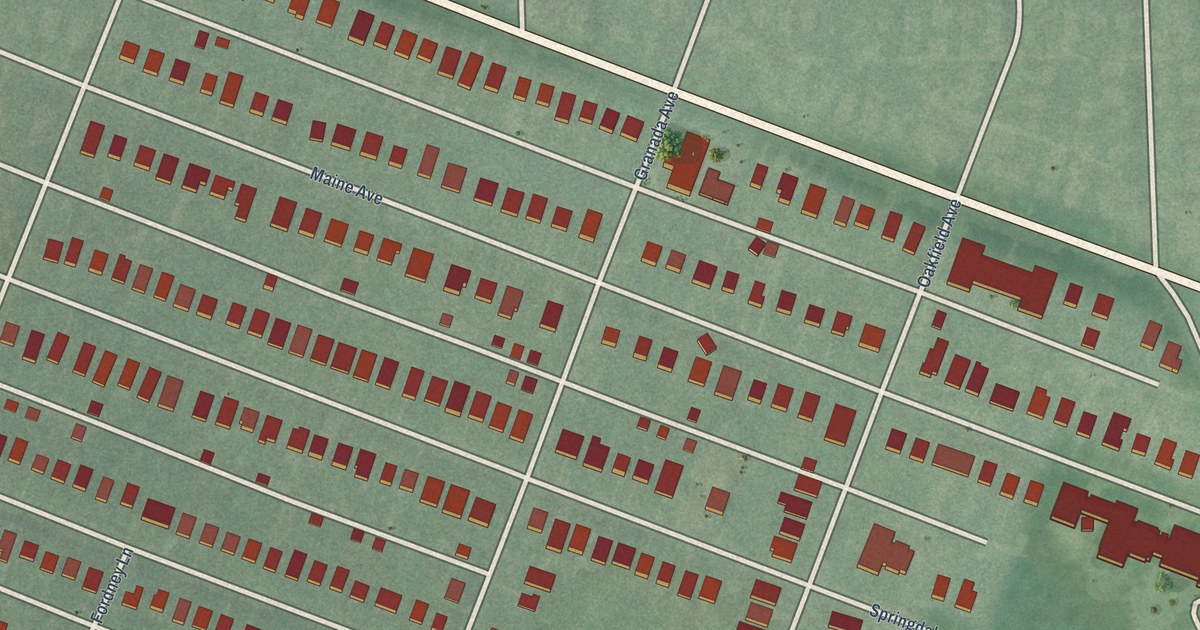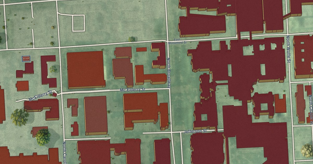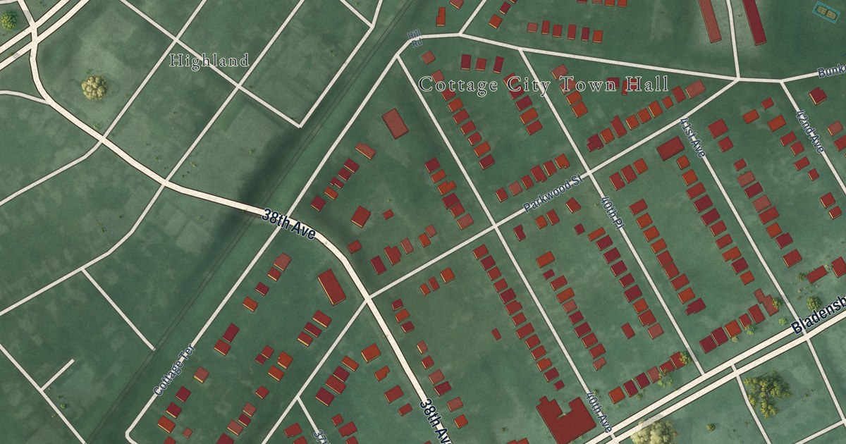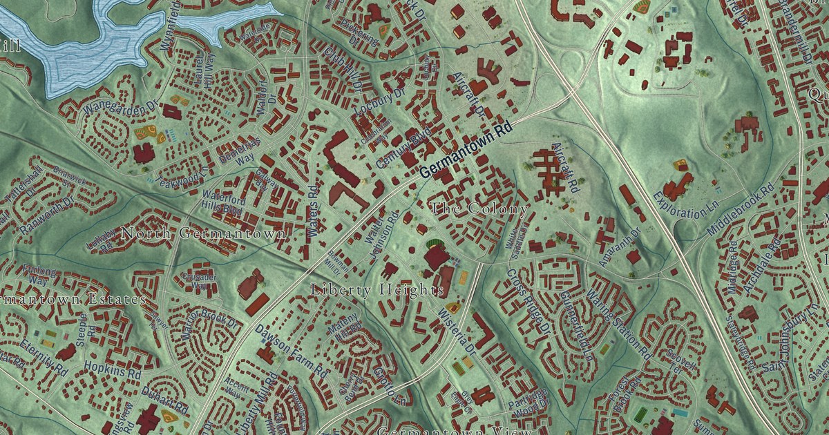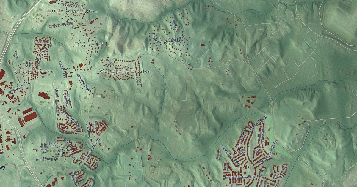
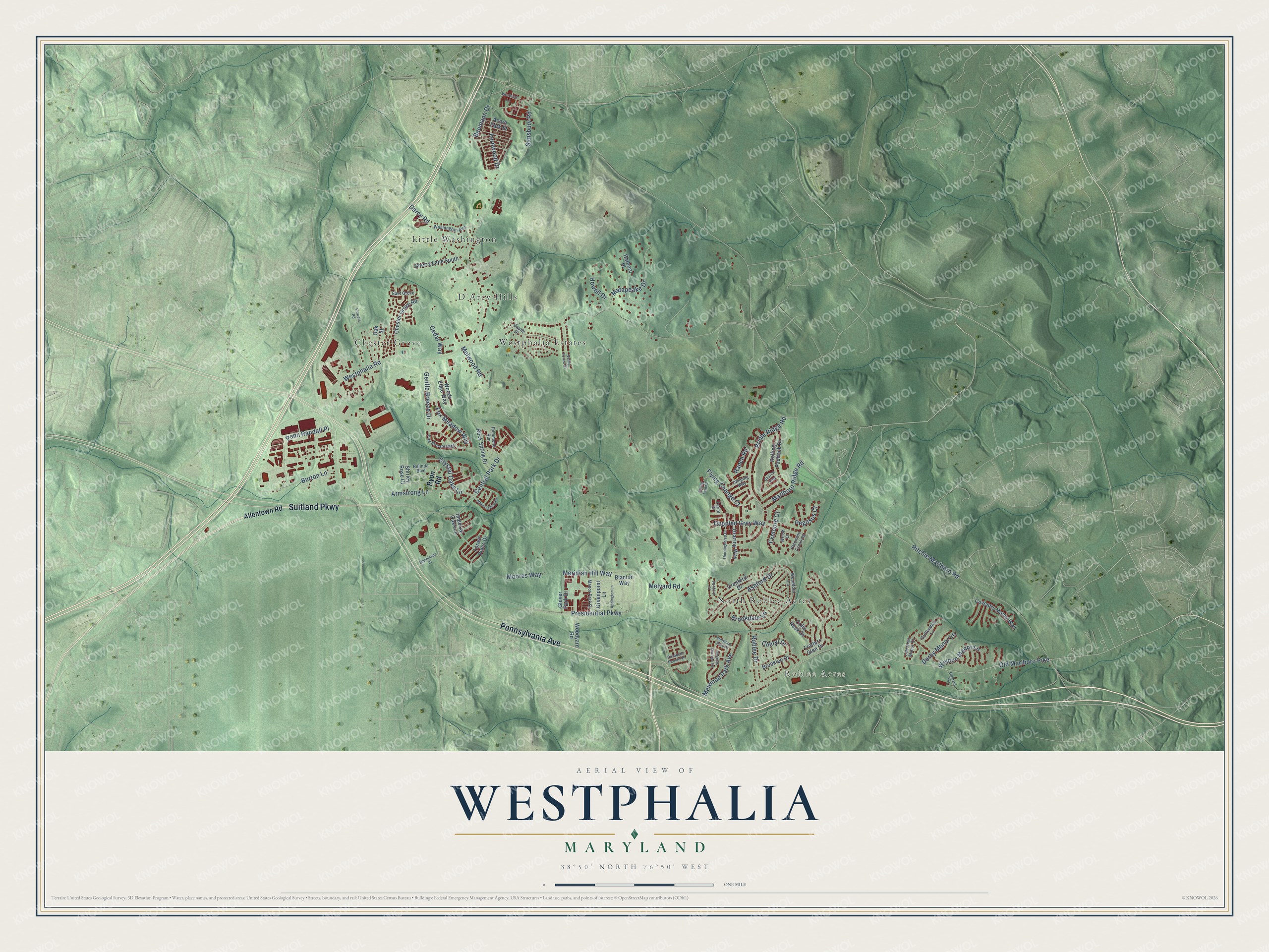
This beautifully detailed map of Westphalia, Maryland was created in 2026 using aerial imagery combined with modern topographical, census, street and landmark data. It's a modern aerial view of Westphalia in Prince George's County, Maryland, that combines modern data with a vintage aesthetic. The roads feature printed names, and if you look closely you can find your exact house accurately shown in its correct location.
Explore an aerial view of Westphalia, Maryland
On this map you'll find Roblee Acres, Little Washington, Chester Grove, Westphalia Estates, North Roblee Acres, D'Arcy Hills, Pennsylvania Avenue, Suitland Parkway, Old Marlboro Pike, Ritchie Marlboro Road, Westphalia Road, Presidential Parkway, and more. Each red shape is a building, so zoom in on the preview and look for yours.
Westphalia is a community in Prince George's County. The Census Bureau counted 11,770 people here in 2020. The map prints the town name in its title panel, with the coordinates below it.
Take a closer look at the Westphalia map
Names on this map
These names are printed on this map.
Places: Roblee Acres, Little Washington, Chester Grove, Westphalia Estates, North Roblee Acres and D'Arcy Hills.
Streets and roads: Pennsylvania Avenue, Suitland Parkway, Old Marlboro Pike, Ritchie Marlboro Road, Westphalia Road, Presidential Parkway, Melwood Road, Bridle Ridge Road, Sansbury Road, Darcy Road, Moores Way, Meridian Hill Way.
More street names, A to Z
Acorn Park Street, Addington Lane, Allentown Road, Armstrong Lane, Ashford Drive, Ashford Place, Baumann Drive, Belinda Boulevard, Blanton Way, Brookdale Lane, Brooklee Drive, Burton Lane, Castle Drive, Cedar Way, Central Park Drive, Chariot Way, Cherry Lane South, Cheryl Drive, Chester Grove Road, Chestnut Manor Court, Colts Neck Drive, Coventry Manor Way, Cranford Drive, Crystal Oaks Lane, Dappled Grey Way, Derby Manor Lane, East Grove, Elizabeth Parnum Place, Exmoore Court, Fernwood Drive, Flowers Road, Flying Change Court, Forest Pines Drive, Fox Meadow Way, Fox Stream Way, Gentle Breeze Drive, Glover Park Drive, Grazing Way, Greenpoint Lane, Griffendale Lane, Hatboro Place, Howell Drive, Imperial Oaks Lane, Jumping Way, Lariat Drive, Machinists Place, Manor Oaks Vw, Manor Park Drive, Marlboro Ridge Road, Matapeake Drive, Melwood Park Avenue, Melwood Park Place, Melyard Road, Oak Street, Orchard Terrace, Palomino Crossing, Pegasus Court, Penn Randall Place, Ranch Road, Richmond Run, Roblee Drive, Rock Spring Drive, Rolling Paddock Drive, Ryon Road, Shirley Rose Court, Spring Foal Court, Thomas Sim Lee Terrace, Thoroughbred Drive, Trotters Glen Drive, Valley Forest Drive, Washington Avenue, Weldon Manor Lane, Welsh Court, Weshurst Lane, Woodford Lane, Woods Edge Way, Woodyard Road.
See it on a wall
The Westphalia map as a framed print. Swipe for more.


Created by KNOWOL in 2026. The buildings are small red shapes, the roads carry their printed names, and shaded relief shows the shape of the land. The title panel reads "AERIAL VIEW OF WESTPHALIA, MARYLAND" with 38°50' NORTH 76°50' WEST.
It looks right in a kitchen, an office or a den, and it's a gift for anyone who grew up in Westphalia or moved away. Open the preview and find your street. See sizes and frames for the Westphalia map.