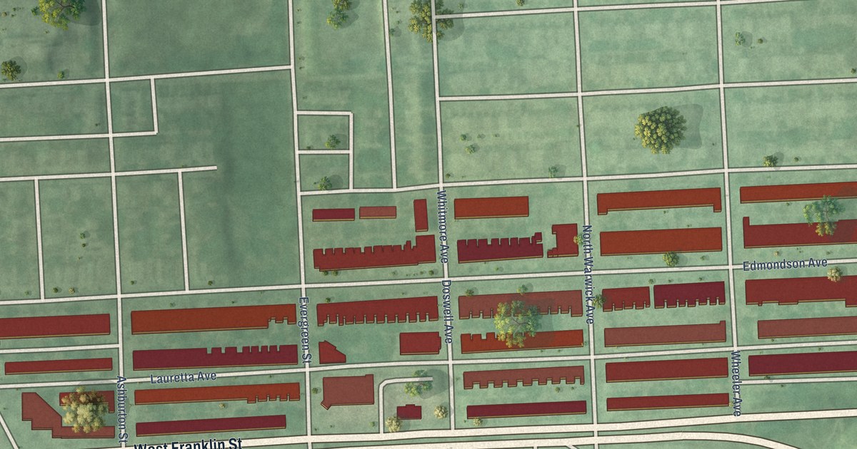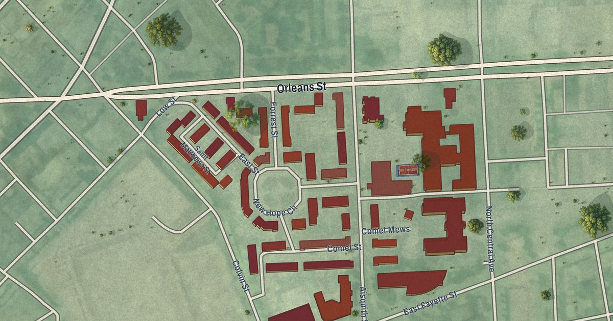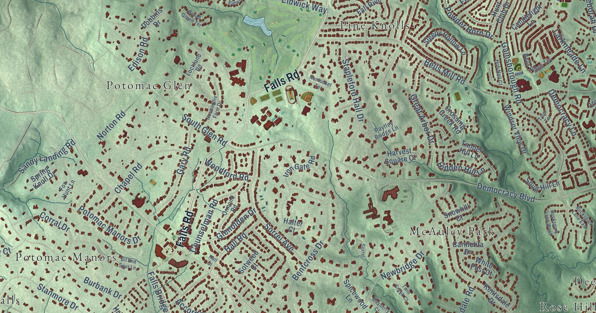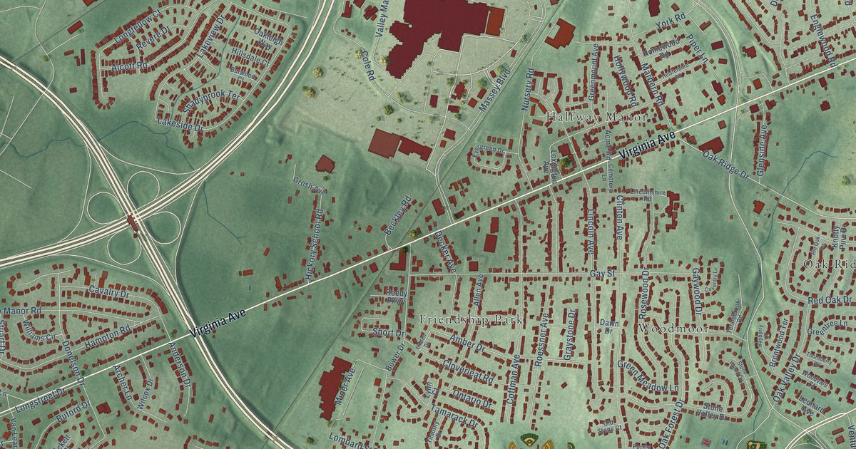
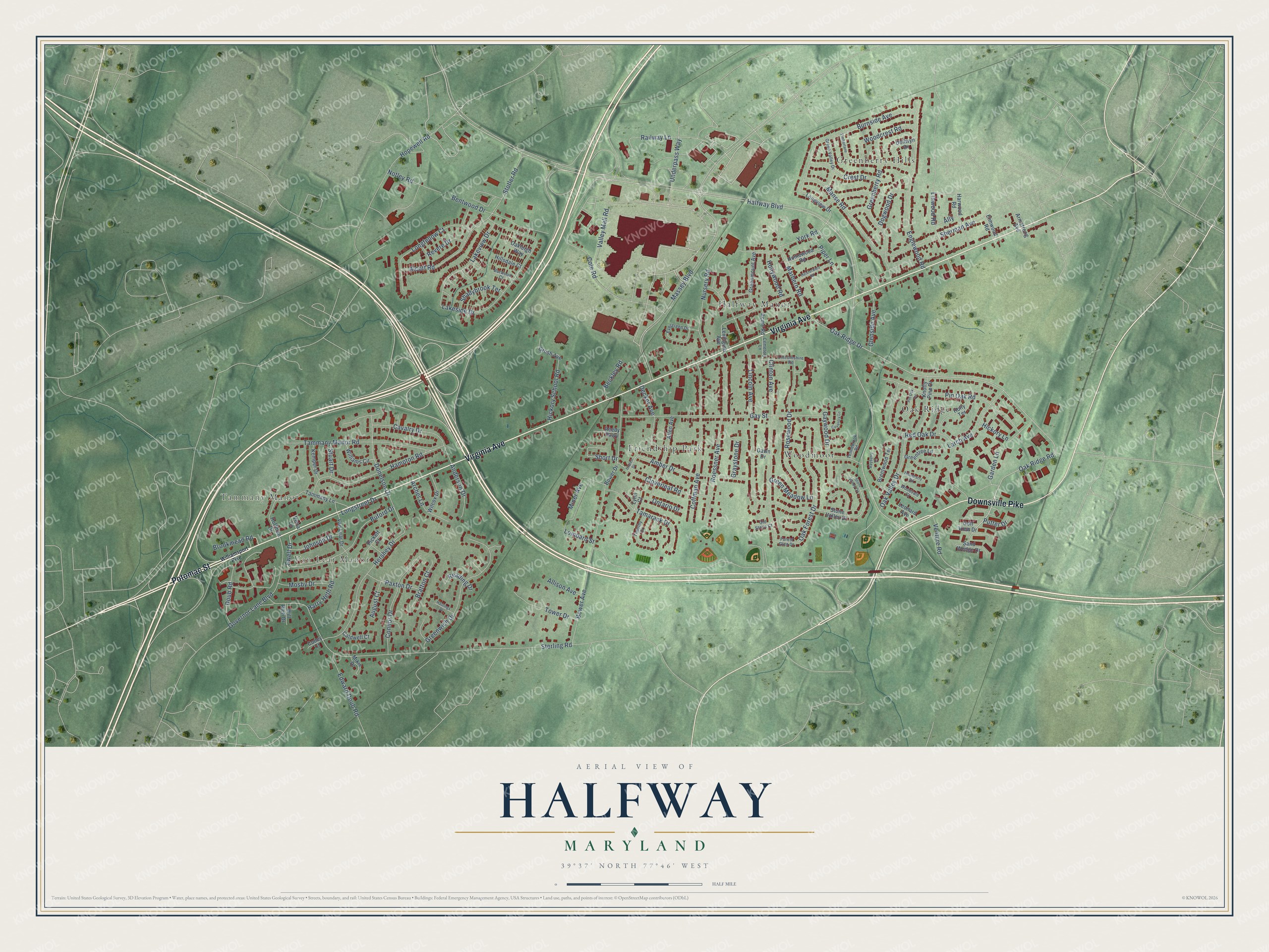
This beautifully detailed map of Halfway, Maryland was created in 2026 using aerial imagery combined with modern topographical, census, street and landmark data. It's a modern aerial view of Halfway in Washington County, Maryland, that combines modern data with a vintage aesthetic. The roads feature printed names, and if you look closely you can find your exact house accurately shown in its correct location.
Explore an aerial view of Halfway, Maryland
On this map you'll find Van Lear Manor, Tammany Manor, Greenberry Hills, Woodmoor, Halfway Manor, Friendship Park, Oak Ridge, Downsville Pike, Virginia Avenue, Potomac Street, Halfway Boulevard, Oak Ridge Road, and more. Each red shape is a building, so zoom in on the preview and look for yours.
Halfway is a community in Washington County. The Census Bureau counted 11,896 people here in 2020. The map prints the town name in its title panel, with the coordinates below it.
Take a closer look at the Halfway map
Names on this map
These names are printed on this map.
Places: Van Lear Manor, Tammany Manor, Greenberry Hills, Woodmoor, Halfway Manor, Friendship Park and Oak Ridge.
Streets and roads: Downsville Pike, Virginia Avenue, Potomac Street, Halfway Boulevard, Oak Ridge Road, Oak Ridge Drive, Underpass Way, Valley Mall Road, Oak Forest Drive, Crest Drive, Cloverleaf Road, Stotler Road.
More street names, A to Z
Acme Road, Alcott Road, Allen Avenue, Allison Avenue, Ally, Amber Drive, Anderson Drive, Archer Lane, Armstrong Avenue, August Court, Bayberry Court, Beckley Road, Bentwood Drive, Bower Avenue, Bower Drive, Bratton Court, Brentwood Terrace, Brookmead Road, Buford Drive, Burnside Avenue, Burwood Court, Caldwell Court, Cavalry Drive, Cemetery Lane, Clinton Avenue, Coffman Avenue, Cole Road, Coney Court, Connor Drive, Coventry Lane, Dawn Drive, Decker Avenue, Dellwyn Drive, Dogwood Drive, Donelson Drive, Doub Road, Edward Doub Road, Elmwood Road, Englewood Road, Evergreen Drive, Ewell Drive, Forest Glen Drive, Garden Lane, Gay Street, Gaywood Drive, Glenside Avenue, Golf View Drive, Governor Lane Boulevard, Graystone Drive, Greenberry Road, Green Meadow Lane, Greenmount Avenue, Greentree Lane, Green Valley Drive, Greenwich Drive, Grosh Avenue, Hampton Road, Harry Heth Road, Harwood Road, Hastings Drive, Heisterboro Road, Hershey Drive, Hickory Lane, Hickory School Road, Hillsdale Court, Hoffman Drive, Holly Terrace, Hollywood Road, Homewood Road, Hopewell Road, Johnson Drive, Kemper Drive, Knotty Pine Drive, Lakeside Drive, Lakeview Drive, Larch Avenue, Leonard Avenue, Lexington Avenue, Lincoln Avenue, Lincolnshire Road, Linden Drive, Linwood Road, Lombard Street, Longfellow Court, Longstreet Drive, Longview Drive, Lynn Court, Manse Road, Marbern Road, Massey Boulevard, Mikie Drive, Miner Avenue, Mosby Drive, Notley Road, Nursery Road, Oakleigh Way, Oak Valley Drive, Old Stone Court, Ontario Drive, Paxton Drive, Pickett Court, Pin Oak Road, Pin Oak Terrace, Piper Lane, Putter Drive, Railway Lane, Reading Drive, Red Oak Drive, Reedy Parkway, Revere Drive, Roessner Avenue, Rosewood Drive, Sand Wedge Drive, Shadybrook Terrace, Sherman Avenue, Short Drive, Sterling Road, Stone Valley Circle, Stone Valley Drive, Stuart Drive, Tamarack Drive, Tammany Lane, Tammany Manor Road, Tennebrook Road, Thornberry Road, Timberlane, Timothy Drive, Tower Drive, Van Lear Drive, Venture Road, Vetra Lane, Wilcox Drive, Williams Circle, Williamsport Pike, Will Rich Drive, Woodcrest Road, Woodvale Court, York Road.
See it on a wall
The Halfway map as a framed print. Swipe for more.


Created by KNOWOL in 2026. The buildings are small red shapes, the roads carry their printed names, and shaded relief shows the shape of the land. The title panel reads "AERIAL VIEW OF HALFWAY, MARYLAND" with 39°37' NORTH 77°46' WEST.
It suits a den, a classroom or a front hall, and it makes a gift for anyone with Halfway roots. Open the preview and find the block you know. See sizes and frames for the Halfway map.