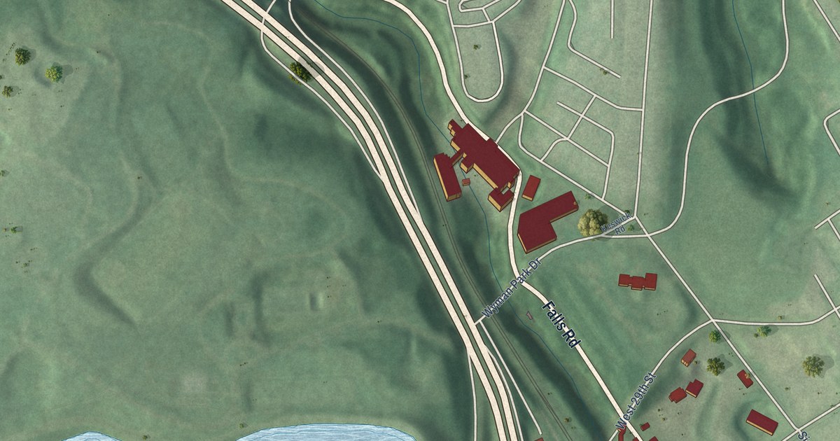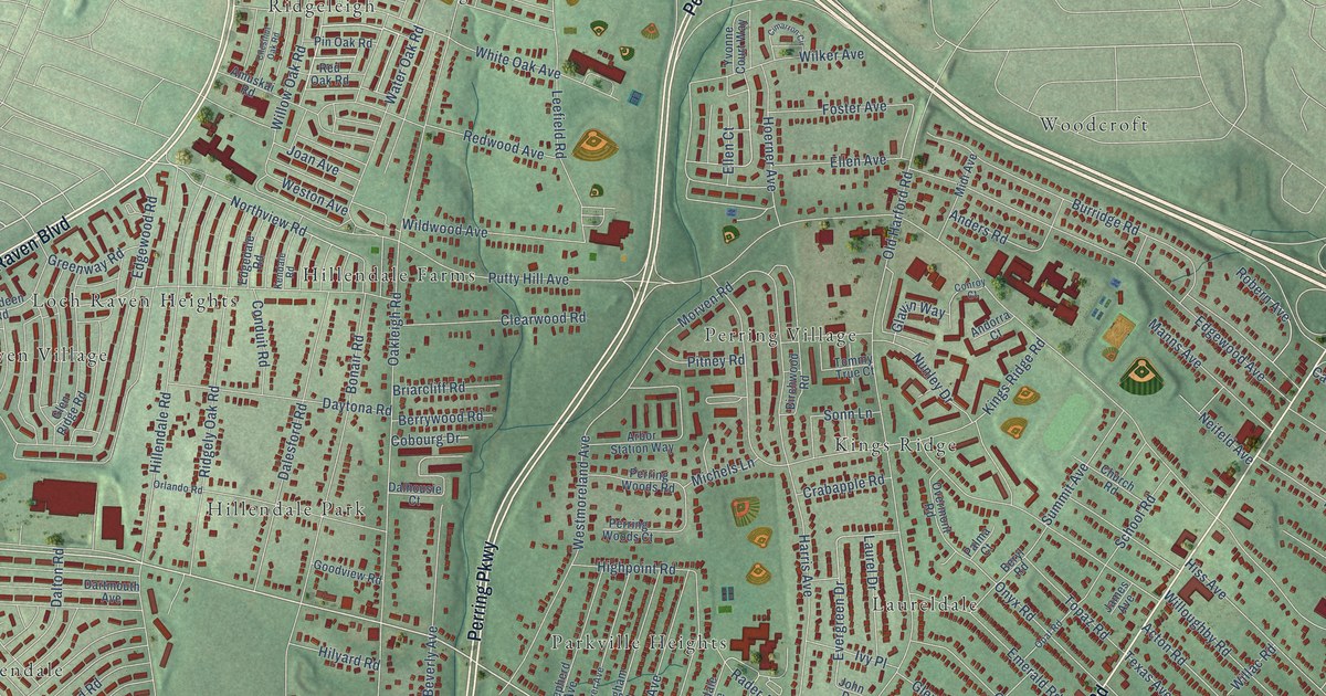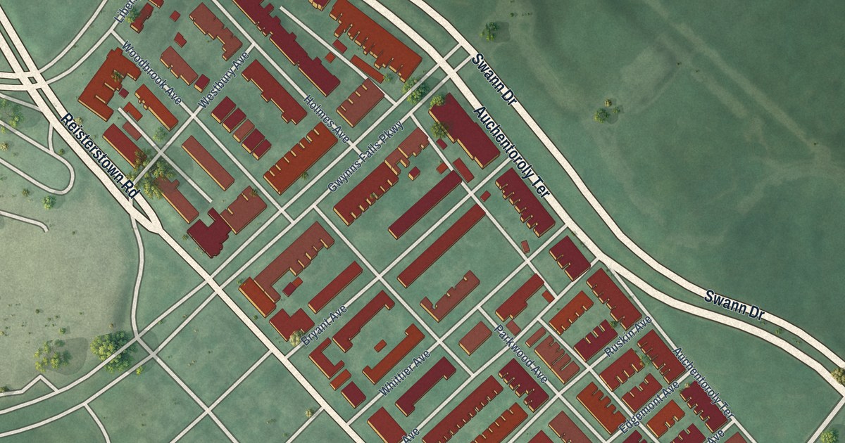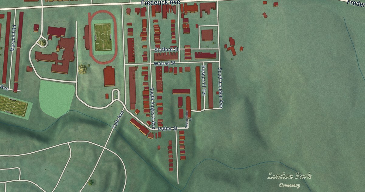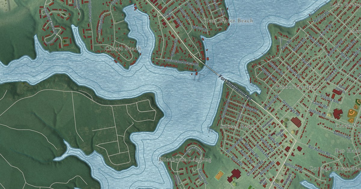
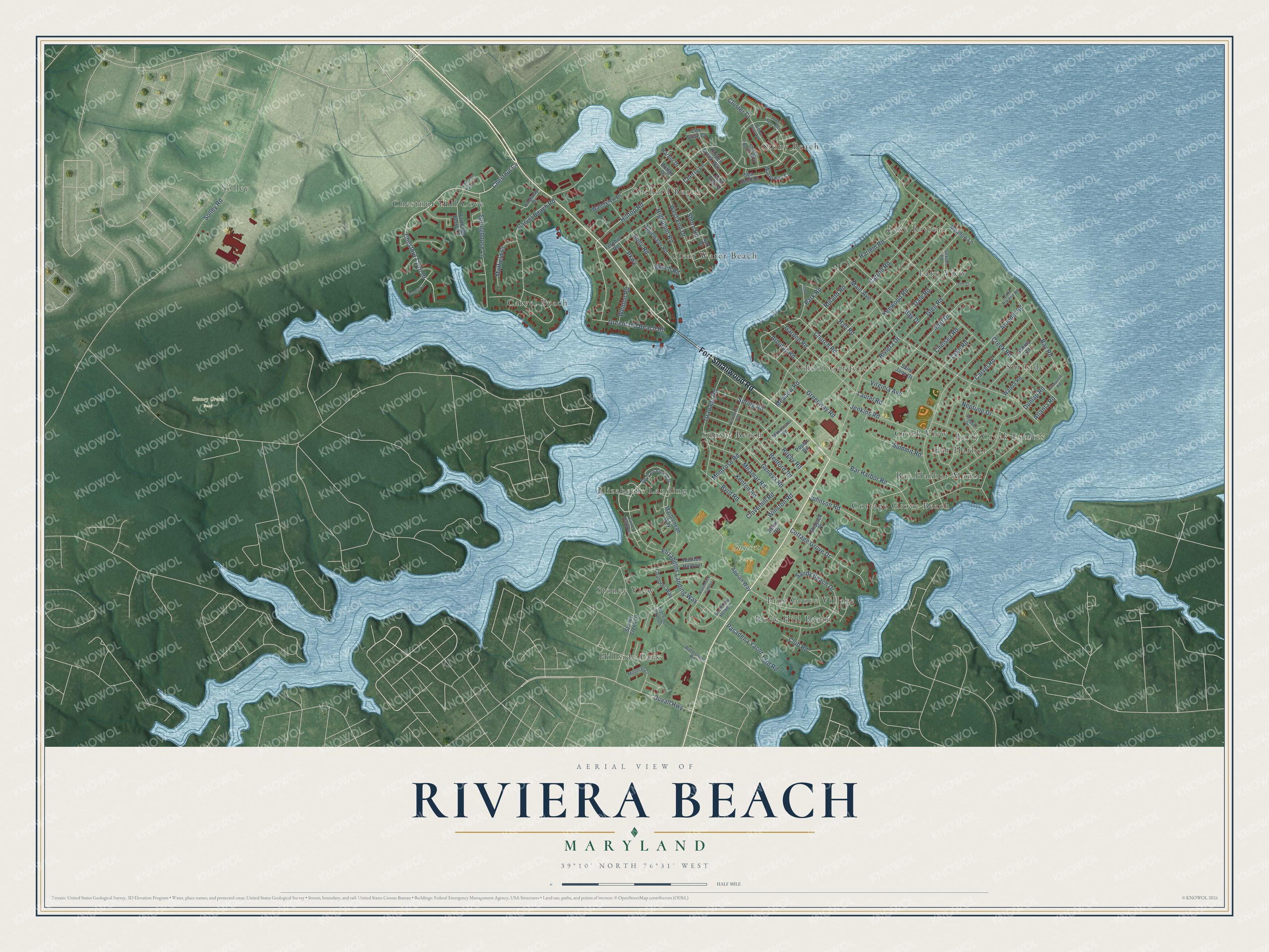
This beautifully detailed map of Riviera Beach, Maryland was created in 2026 using aerial imagery combined with modern topographical, census, street and landmark data. It's a modern aerial view of Riviera Beach in Anne Arundel County, Maryland, that combines modern data with a vintage aesthetic. The roads feature printed names, and if you look closely you can find your exact house accurately shown in its correct location.
Explore an aerial view of Riviera Beach, Maryland
On this map you'll find Stoney Creek Park, Sunset Park, Stony Beach, Chestnut Hill Cove, Bar Harbor, Hillside Park, Solley, Clear Water Beach, Surfside, Sunset Beach, Cottage Grove Beach, Orchard Beach, and more. Each red shape is a building, so zoom in on the preview and look for yours.
Riviera Beach is a community in Anne Arundel County. The Census Bureau counted 12,384 people here in 2020. The map prints the town name in its title panel, with the coordinates below it.
Take a closer look at the Riviera Beach map
Names on this map
These names are printed on this map.
Places: Stoney Creek Park, Sunset Park, Stony Beach, Chestnut Hill Cove, Bar Harbor, Hillside Park, Solley, Clear Water Beach, Surfside, Sunset Beach, Cottage Grove Beach, Orchard Beach, School Gardens, Carvel Beach, Lake Riviera, Stoney View, Elizabeths Landing, Pine Grove Village, Bar Harbor Manor, Lake View, Rock Creek Estates, Creek View and Rock Hill Beach.
Streets and roads: Fort Smallwood Road, Chestnut Cove Drive, Chestnut Cv, Duvall Highway, Hilltop Road, Johnson Road, Carvel Beach Road, Greenland Beach Road, Bar Harbor Road, Main Avenue, Carroll Road, Meadow Road.
More street names, A to Z
Appian Way, Arbutus Road, Arundel Road, Asbury Road, Atlanta Road, Bay Drive, Bay Road, Beach Road, Bedford Road, Black Rock Harbour, Booth Bay Harbour, Box Drive, Bridge Drive, Byrd Road, Carvel Road, Chandler Way, Chelsea Road, Cherry Lane, Chestnut Haven Court, Church Road, Cloverhill Road, Club Road, Cluster Court, Cottage Grove Drive, Cox Cove Court, Creek Road, Cutler Harbour, Dale Road, De Franceaux Way, Dunlap Road, East End Drive, Echo Drive, Edgewater Road, Elizabeths Landing Way, Fernhill Road, Garden Road, Geneva Road, Glen Court, Glen Road, Glenwood Road, Granada Road, Greenway Road, Hall Road, Harbor Drive, Harlem Road, Hidden Creek Way, Highpoint Road, Holly Road, Homeland Road, Houlton Harbour, Inlet Drive, Jenkins Road, Kenton Road, Kenwood Road, Kingsway Drive, Lake Riviera Road, Lake Road, Laurel Road, Machias Harbour, Manchester Road, Marblehead Way, Matfield Court, Meadow Lane, Miramar Road, Montrose Road, Moonfall Court, Neptune Drive, Park Road, Parkway, Partridge Berry Lane, Pasadena Yacht Yard Road, Penn Road, Poplar Road, River Rock Way, Riviera Drive, Roland Road, Rugby Road, Saint Jane Drive, Sandy Beach Drive, Seagull Drive, Sea Shell Court, Sexton Road, Shore Road, Skipjack Place, Solley Road, Springhouse Lane, Spring Road, Stoney Beach Way, Stoney Creek Drive, Stoney Point Way, Summit Road, Swanhill Court, Virginia Avenue, Wanda Road, Watertower Road, Waterview Drive, Waterway Court, Weldon Road, West End Drive, Winston Road.
See it on a wall
The Riviera Beach map as a framed print. Swipe for more.


Created by KNOWOL in 2026. The buildings are small red shapes, the roads carry their printed names, and shaded relief shows the shape of the land. The title panel reads "AERIAL VIEW OF RIVIERA BEACH, MARYLAND" with 39°10' NORTH 76°31' WEST.
It suits a den, a classroom or a front hall, and it makes a gift for anyone with Riviera Beach roots. Open the preview and find the block you know. See sizes and frames for the Riviera Beach map.