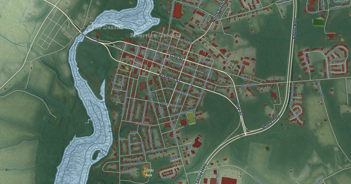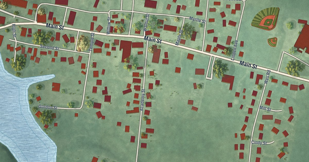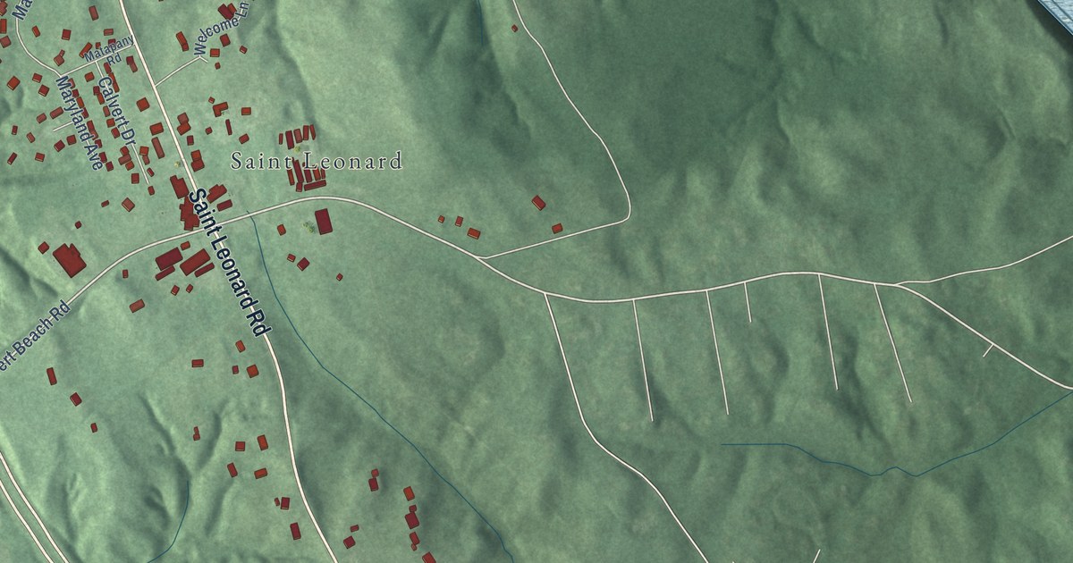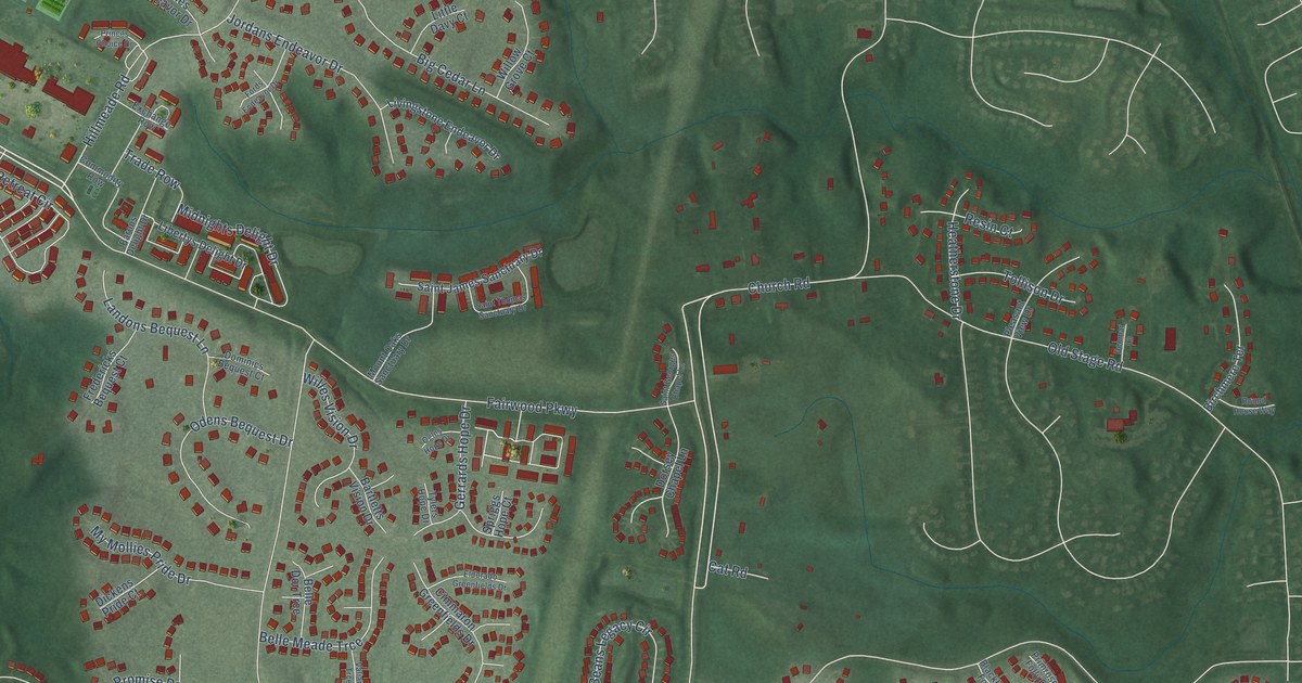
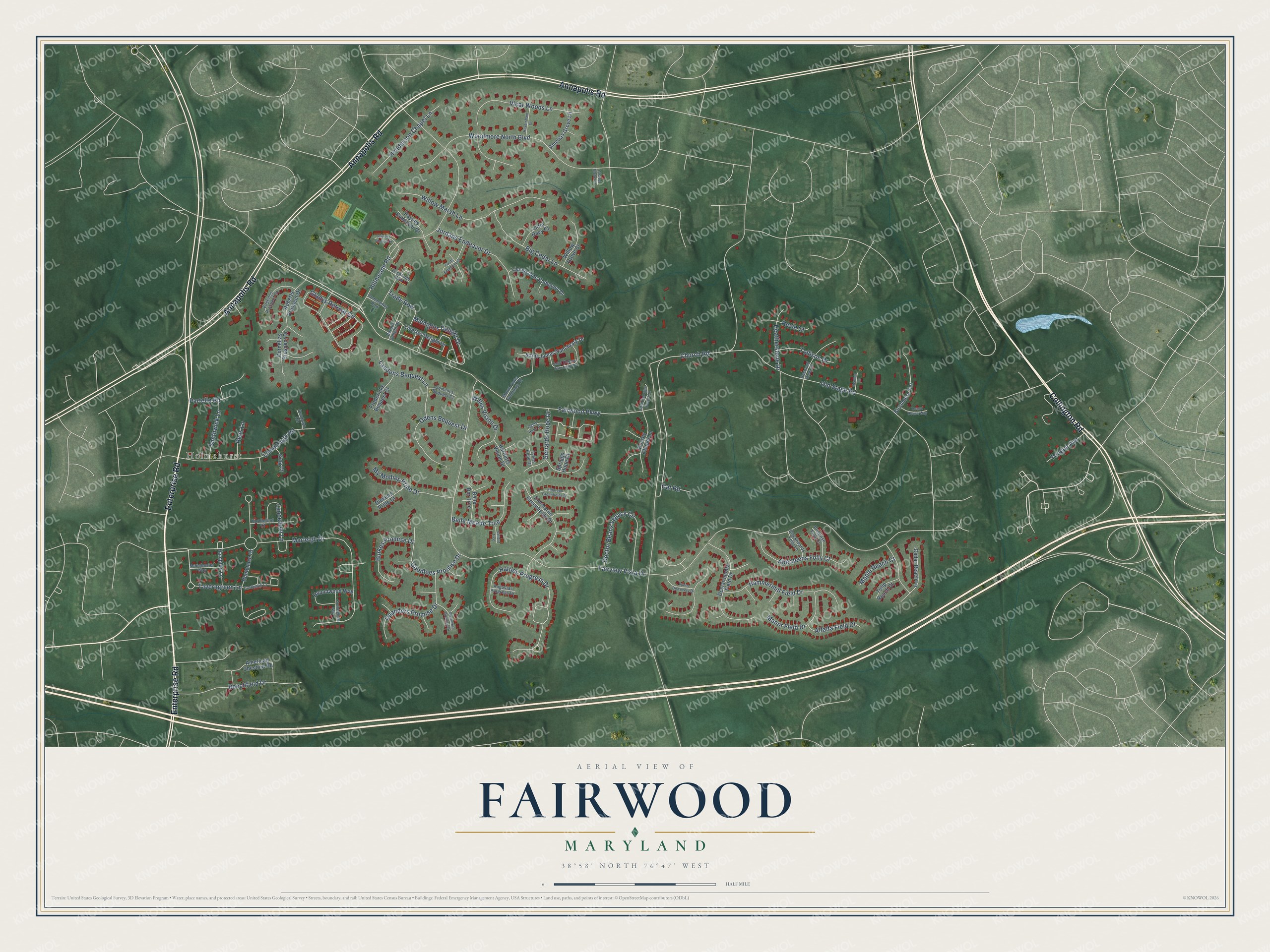
This beautifully detailed map of Fairwood, Maryland was created in 2026 using aerial imagery combined with modern topographical, census, street and landmark data. It's a modern aerial view of Fairwood in Prince George's County, Maryland, that combines modern data with a vintage aesthetic. The roads feature printed names, and if you look closely you can find your exact house accurately shown in its correct location.
Explore an aerial view of Fairwood, Maryland
On this map you'll find Holmehurst, Enterprise Road, Annapolis Road, Collington Road, Fairwood Parkway, Church Road, Taverngreen Lane, Fairview Vista Drive, Marleigh Drive, Hillmeade Road, Woodmore North Boulevard, Hatties Progress Drive, and more. Each red shape is a building, so zoom in on the preview and look for yours.
Every town has a first chapter, and Fairwood is no exception. Fairview, a brick house on Church Road built about 1800 by Baruch Duckett, became the home of Oden Bowie, Governor of Maryland from 1869 to 1872. Bowie helped build the Pope's Creek Railroad through Prince George's County and made the Fairview stables an important name in American horse racing. He was also president of the Maryland Jockey Club for many years. That's from the Maryland Historical Trust.
Fairwood is a community in Prince George's County. The Census Bureau counted 7,983 people here in 2020.
Take a closer look at the Fairwood map
Names on this map
These names are printed on this map.
Places: Holmehurst.
Streets and roads: Enterprise Road, Annapolis Road, Collington Road, Fairwood Parkway, Church Road, Taverngreen Lane, Fairview Vista Drive, Marleigh Drive, Hillmeade Road, Woodmore North Boulevard, Hatties Progress Drive, Vicar Woods Lane.
More street names, A to Z
Aberdeens Folly Court, Alfalfa Field Court, Amelias Grove Lane, American Chestnut Road, Augustas Progress Drive, Barons Delight Drive, Bartletts Vision Drive, Beechfield Drive, Belle Dor Trce, Belle Meade Trce, Big Cedar Lane, Birchmere Terrace, Blackbeards Folly Lane, Burkes Promise Drive, Castlewall Court, Cat Road, Cedar Reach Lane, Chapel Glebe Court, Cimmaron Greenfields Drive, Commodity Row, Cornelias Prospect Drive, Declairmonts Field Drive, Denmar Lane, Dickens Pride Court, Doctor Beans Legacy Circle, Dominics Bequest Court, Dorsey Chapel Lane, Eldorado Greenfields Drive, Eugenes Prospect Drive, Exchange Row, Fords Endeavor Drive, Fredericks Bequest Court, Frothingham Way, Gerrards Hope Drive, Gladys Retreat Circle, Goodloes Promise Drive, Hammermill Field Drive, Hampton Lane, Haversham Drive, Heatherstone Drive, Henderson Chapel Lane, Houndwood Way, Huntchase Drive, Hurdleford Court, Jordans Endeavor Drive, King Court, Lancefield Lane, Landons Bequest Lane, Libertys Delight Drive, Lisborough Road, Little Davy Court, Livingstone Endeavor Drive, Manchester Way, Manor Field Drive, Maple Reach Court, Midnights Delight Drive, Mount Oaks Sanctuary Drive, My Mollies Pride Drive, Odens Bequest Drive, Ogles Hope Drive, Old Stage Road, Partello Road, Paynes Endeavor Drive, Pleasant View Drive, Plummers Promise Drive, Primrose Folly Court, Princes Choice Drive, Pynes Discovery Drive, Quanders Promise Drive, Rees Lane, Resin Court, Roberts Prospect Drive, Round House Way, Saint Georges Chapel Lane, Saint James Sanctuary Drive, Saint Thomas Sanctuary Drive, Smithwick Lane, Spriggs Hope Court, Sundown Circle, Tollison Drive, Tongue Avenue, Trade Row, Tulip Reach Court, Tylers Hope Drive, Valiant Trce, Willes Vision Drive, Willow Grove Court, Willow Marsh Lane.
See it on a wall
The Fairwood map as a framed print. Swipe for more.


Created by KNOWOL in 2026. The buildings are small red shapes, the roads carry their printed names, and shaded relief shows the shape of the land. The title panel reads "AERIAL VIEW OF FAIRWOOD, MARYLAND" with 38°58' NORTH 76°47' WEST.
Hang it in the hallway, the office or the cabin, or give it to someone who left Fairwood and still calls it home. Open the preview and look for a street you know. See sizes and frames for the Fairwood map.