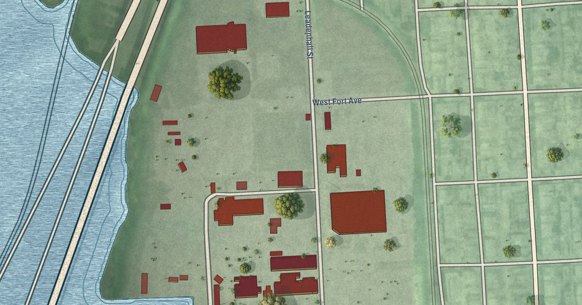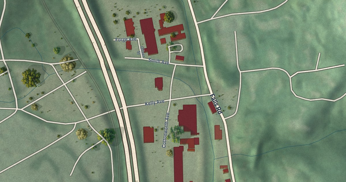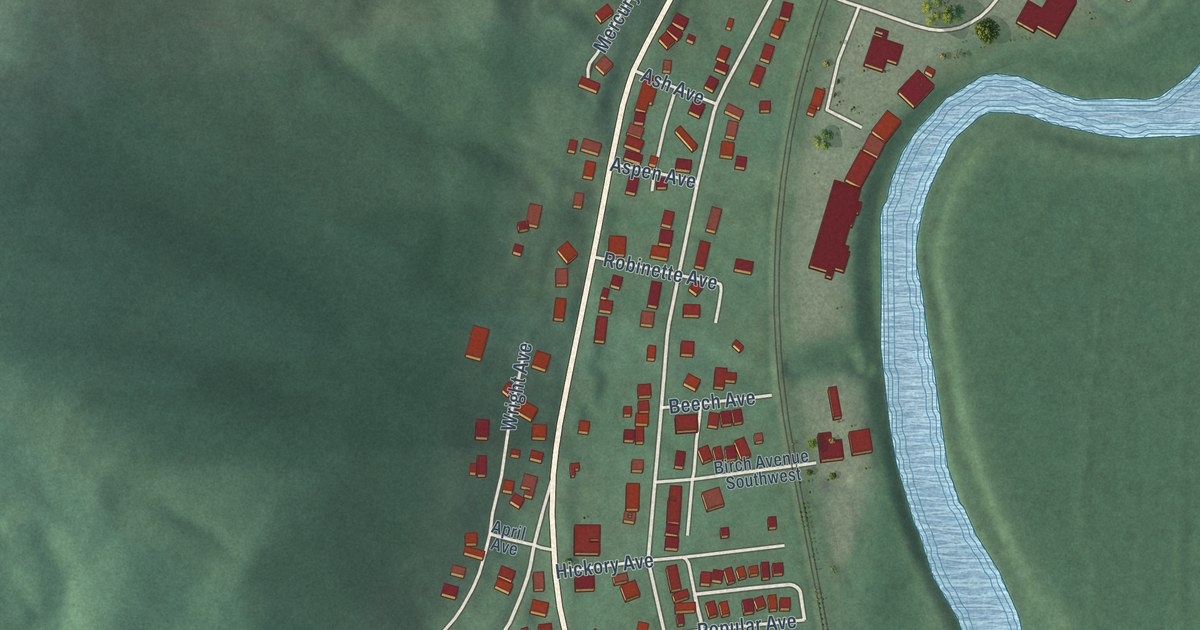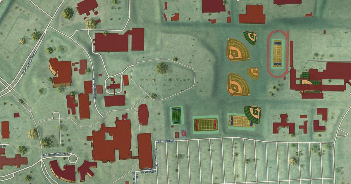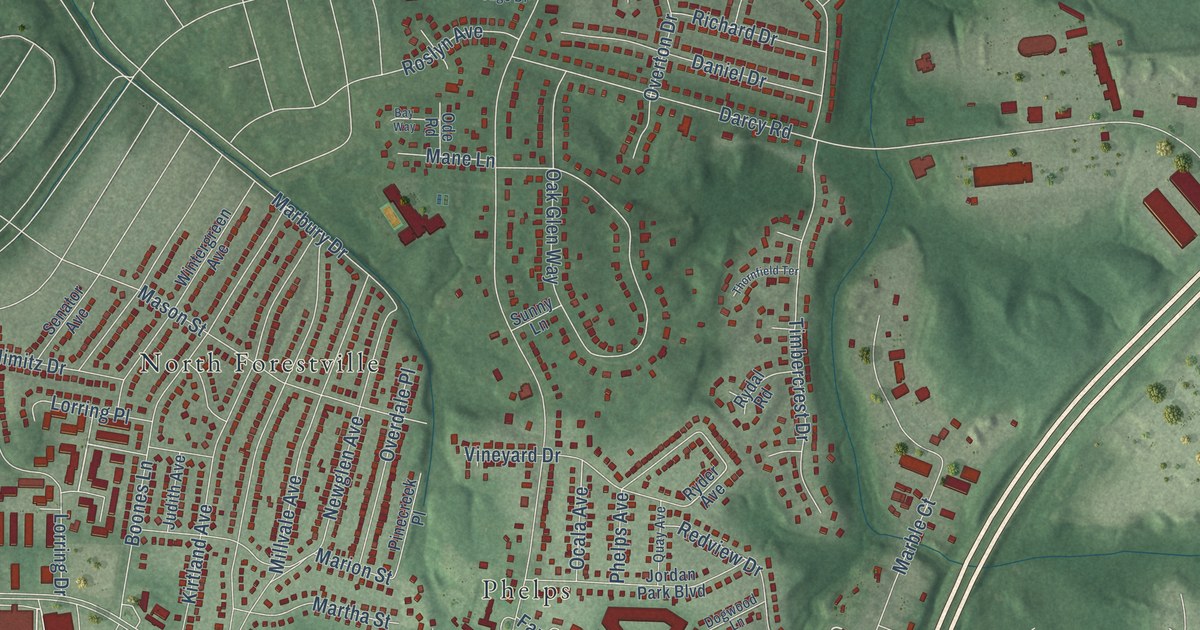
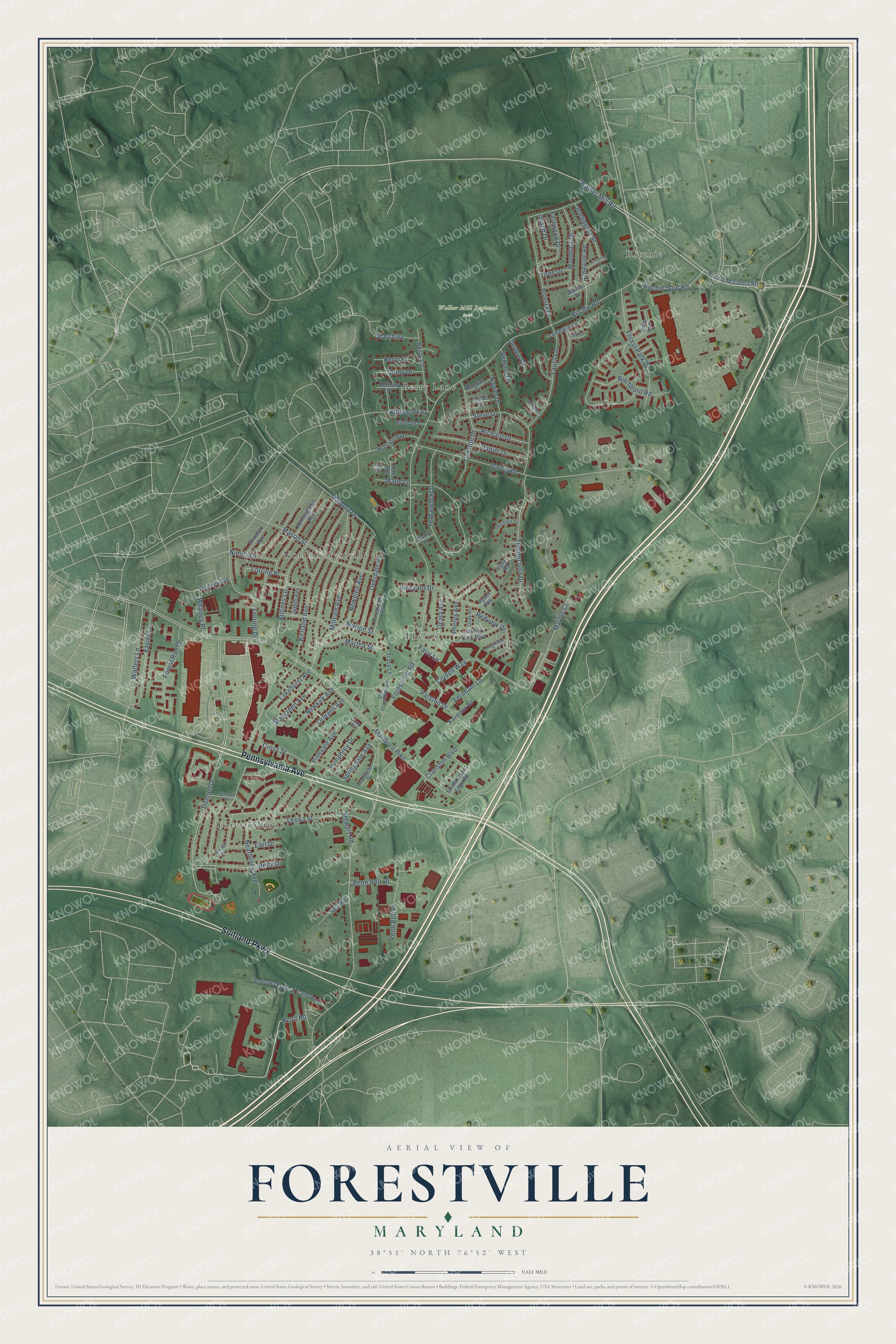
This beautifully detailed map of Forestville, Maryland was created in 2026 using aerial imagery combined with modern topographical, census, street and landmark data. It's a modern aerial view of Forestville in Prince George's County, Maryland, that combines modern data with a vintage aesthetic. The roads feature printed names, and if you look closely you can find your exact house accurately shown in its correct location.
Explore an aerial view of Forestville, Maryland
On this map you'll find Walker Mill Regional Park, Forest Manor, North Forestville, Ritchie, Berry Lane, Phelps, Pennsylvania Avenue, Suitland Parkway, Rena Road, Walker Mill Road, Ritchie Road, Pinevale Avenue, and more. Each red shape is a building, so zoom in on the preview and look for yours.
Forestville is a community in Prince George's County. The Census Bureau counted 12,831 people here in 2020. Forestville sits about 2 miles southeast of Walker Mill, 2 miles northeast of Morningside and 3 miles southeast of Capitol Heights. The map prints the town name in its title panel, with the coordinates below it.
Take a closer look at the Forestville map
Names on this map
These names are printed on this map.
Places: Walker Mill Regional Park, Forest Manor, North Forestville, Ritchie, Berry Lane and Phelps.
Streets and roads: Pennsylvania Avenue, Suitland Parkway, Rena Road, Walker Mill Road, Ritchie Road, Pinevale Avenue, Marlboro Pike, Forestville Road, Donnell Drive, Darcy Road, Lakehurst Avenue, Oak Glen Way.
More street names, A to Z
Alberta Drive, Andrews Federal Campus Drive, Anny Drive, Asheville Road, Bay Way, Beltz Drive, Benson Lane, Berry Place, Bethany Drive, Bonny Drive, Boones Lane, Boundary Drive, Camp Street, Carmel Drive, Corona Street, Cranston Boulevard, Cross Street, Cryden Way, Daniel Drive, Darlington Street, Dennis Court, Dogwood Lane, Donnell Place, Earl Drive, Eastwood Drive, Farrs Lane, Fernham Lane, Forest Park Drive, Forest Run Drive, Forestville Place, Inland Drive, Jasmith Court, Jordan Park Boulevard, Judith Avenue, Kaverton Road, Kipling Parkway, Kirtland Avenue, Kittredge Drive, Laura Lane, Lenaskin Lane, Leona Street, Lorring Drive, Lorring Place, Mane Lane, Marble Court, Marbury Drive, Marion Street, Martha Street, Mason Street, Maygreen Avenue, Melrose Avenue, Millvale Avenue, Napier Drive, Nearbrook Avenue, Newglen Avenue, Newkirk Avenue, Nimitz Drive, Ocala Avenue, Ode Road, Old Forestville Road, Orleans Avenue, Overdale Place, Overton Drive, Parston Drive, Penn Belt Drive, Penn Belt Place, Phelps Avenue, Pinecreek Place, Pumphrey Drive, Quay Avenue, Redview Drive, Richard Drive, Ritchboro Road, Ritchie Marlboro Road, Ritchie Spur Road, Roslyn Avenue, Rydal Road, Ryder Avenue, Senator Avenue, South Forest Edge Road, Springdale Avenue, Starshine, Steve Drive, Stewart Road, Suit Road, Sunny Lane, Thornfield Terrace, Timbercrest Drive, Todd Drive, Tracy Lane, Tulip Avenue, Vineyard Drive, Walters Lane, Whitney Avenue, Whitney Place, Whittaker Court, Wintergreen Avenue, Woodlark Drive, Xavier Lane.
Created by KNOWOL in 2026. The buildings are small red shapes, the roads carry their printed names, and shaded relief shows the shape of the land. The title panel reads "AERIAL VIEW OF FORESTVILLE, MARYLAND" with 38°51' NORTH 76°52' WEST.
Hang it in the hallway, the office or the cabin, or give it to someone who left Forestville and still calls it home. Open the preview and look for a street you know. See sizes and frames for the Forestville map.