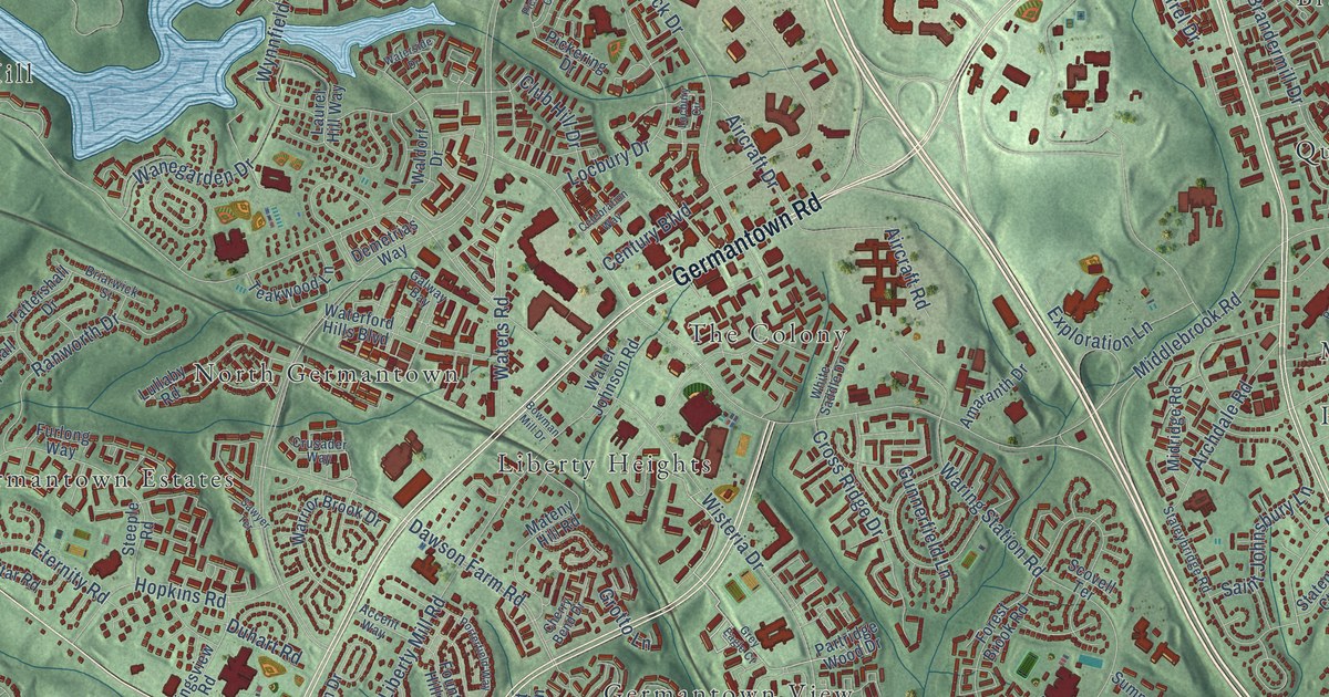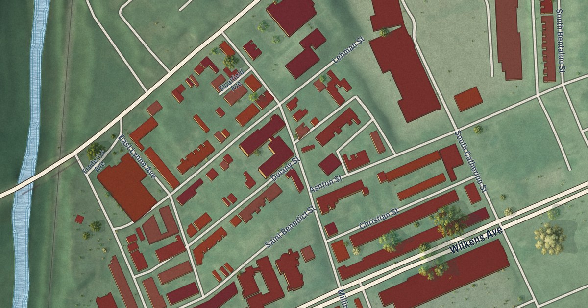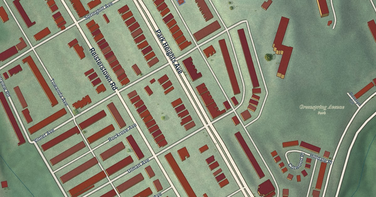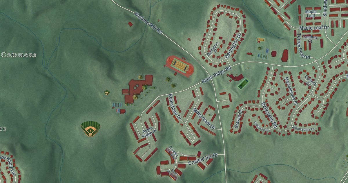
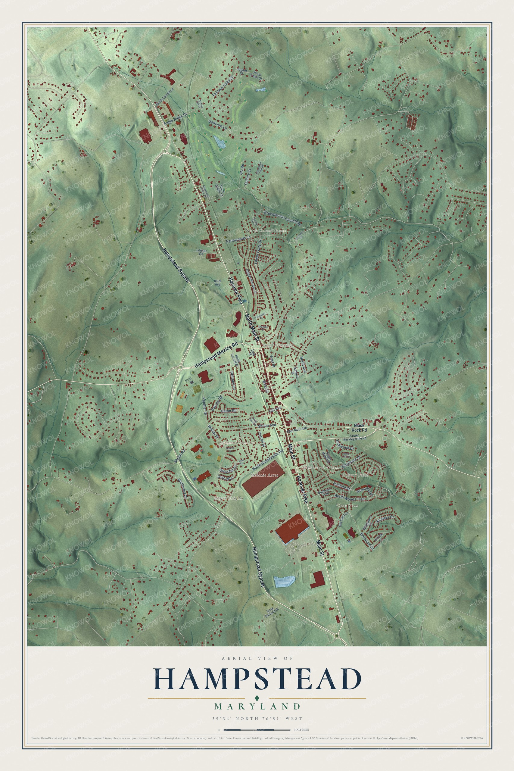
This beautifully detailed map of Hampstead, Maryland was created in 2026 using aerial imagery combined with modern topographical, census, street and landmark data. It’s a one-of-a-kind view of Hampstead that combines accurate data with a vintage aesthetic. The map shows every building in its true location, many of the roads carry their names, and the shaded topographic relief shows the shape of the land.
Explore an aerial view of Hampstead, Maryland
On the map you’ll find Hampstead Town Hall, Clear View, Greenmount, Hampstead Valley, Highfield Estates, Melanie Acres, North Carroll Farms, Roberts Field, Singer Heights, and Small Crossings, along with Hanover Pike, Hampstead Bypass, and more. If you look closely you can even find your house accurately drawn in its correct location. Zoom in on the preview to look for yours.
Did you know this piece of Hampstead, Maryland history?
From the Town of Hampstead: "In 1879, the Harrisburg Division of the Western Maryland Railroad reached Hampstead."
Take a closer look at the Hampstead map
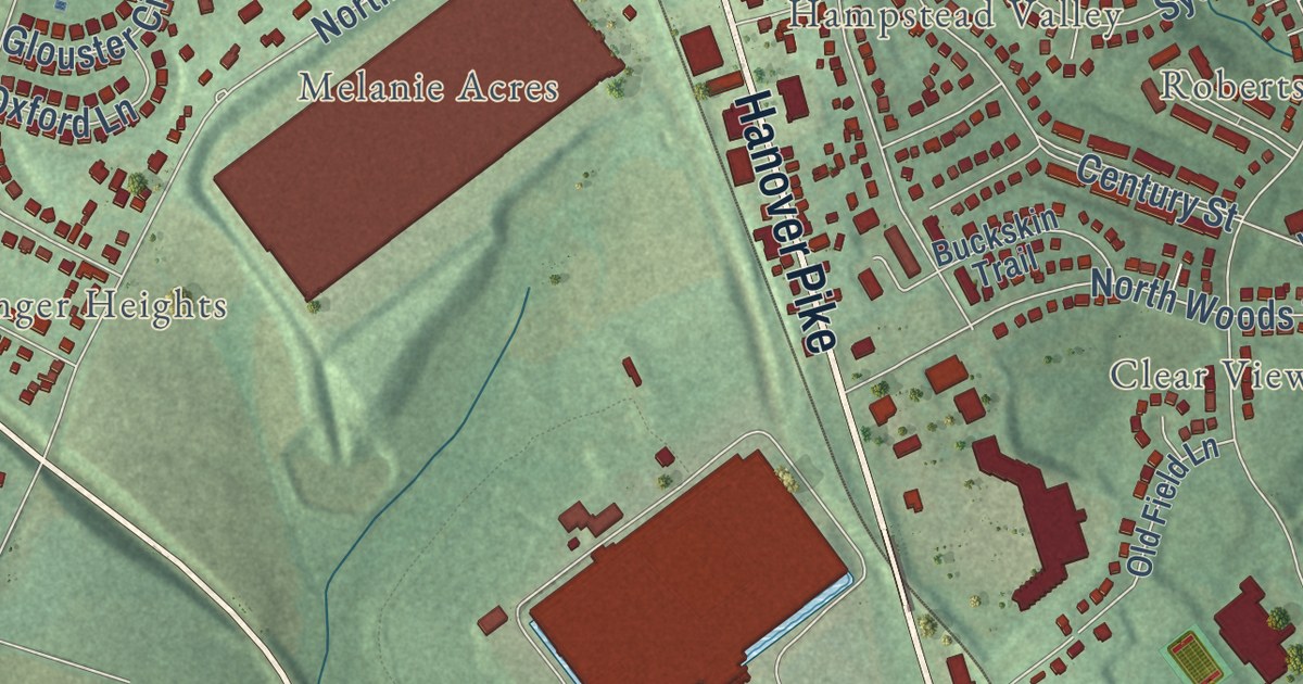
Street and place names on the Hampstead, Maryland map
These names are printed on the map of Hampstead, Maryland.
Places: Hampstead Town Hall, Small Crossings, Singer Heights, Roberts Field, North Carroll Farms, Clear View, Melanie Acres and Hampstead Valley.
Streets and roads: Hanover Pike, Hampstead Bypass, Main Street, North Main Street, Hampstead Mexico Road, Golfview Lane, Upper Forde Lane, North Woods Trail, Boxwood Drive, Greenmount Church Road, North Houcksville Road, West Street.
More street names, A to Z
Black Rock Road, Brittany Lane, Buckskin Trail, Carroll Street, Caton Road, Century Street, Champion Tree Road, Dakota Road, Dana Avenue, Dogwood Drive, Doss Garland Drive, Eagle Ridge Court, East Mott Avenue, East Street, Evergreen Drive, Fairmount Road, Fairway Oaks Court, Farmwoods Lane, Gallery Court, Gill Avenue, Glouster Circle, Greenmount Station Road, Hillock Lane, Hogans Court, Kriel Avenue, Lare Street, Leister Road, Lower Beckleysville Road, Lower Forty Drive, Murphys Run Court, North Avenue, North Carroll Lane, North Carroll Street, Old Field Lane, Oxford Lane, Panther Drive, Rustling Oak Court, Shanelle Court, Shiloh Avenue, Shiloh Road, Shoal Creek Drive, South Carroll Street, Spotters Court, Sugar Maple Street, Summit Street, Sycamore Drive, Terrace Drive, Triple Green Court, Utz Road, Wellesley Court, Whetstone Court, White Oak Court, Willow Street, Woodsman Drive.
See the Hampstead, Maryland map on a wall
The Hampstead map as an 18 x 24 inch print in a black frame.

This beautifully detailed map of Hampstead makes an attractive addition to your office, library, or den, and it can even be used to teach children the geography and history of the area. It also makes a great gift for someone who left Hampstead and still calls it home. When you’re done exploring, click here to get your copy of the Hampstead map.