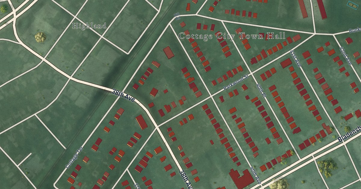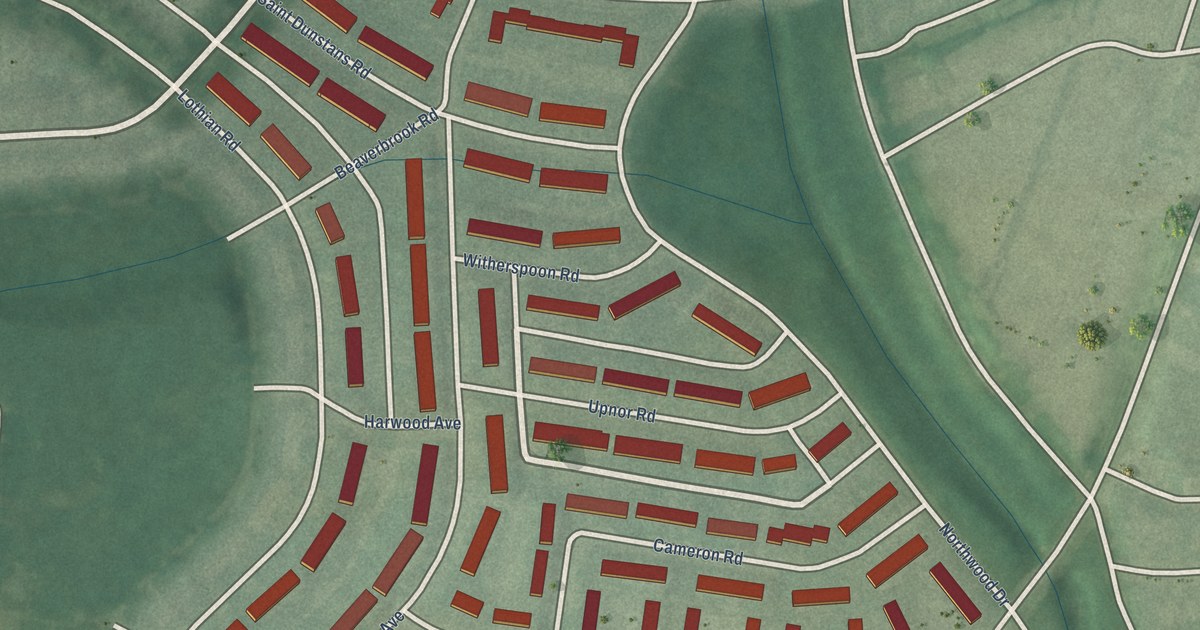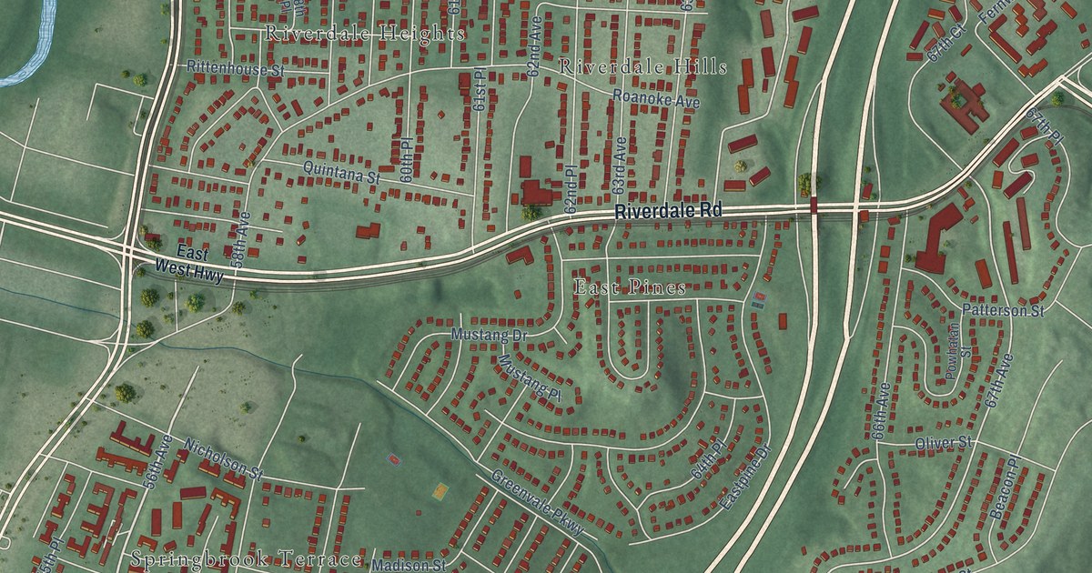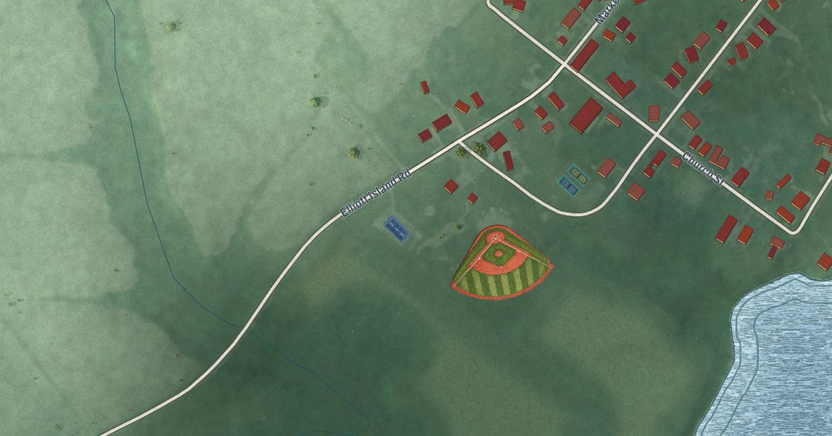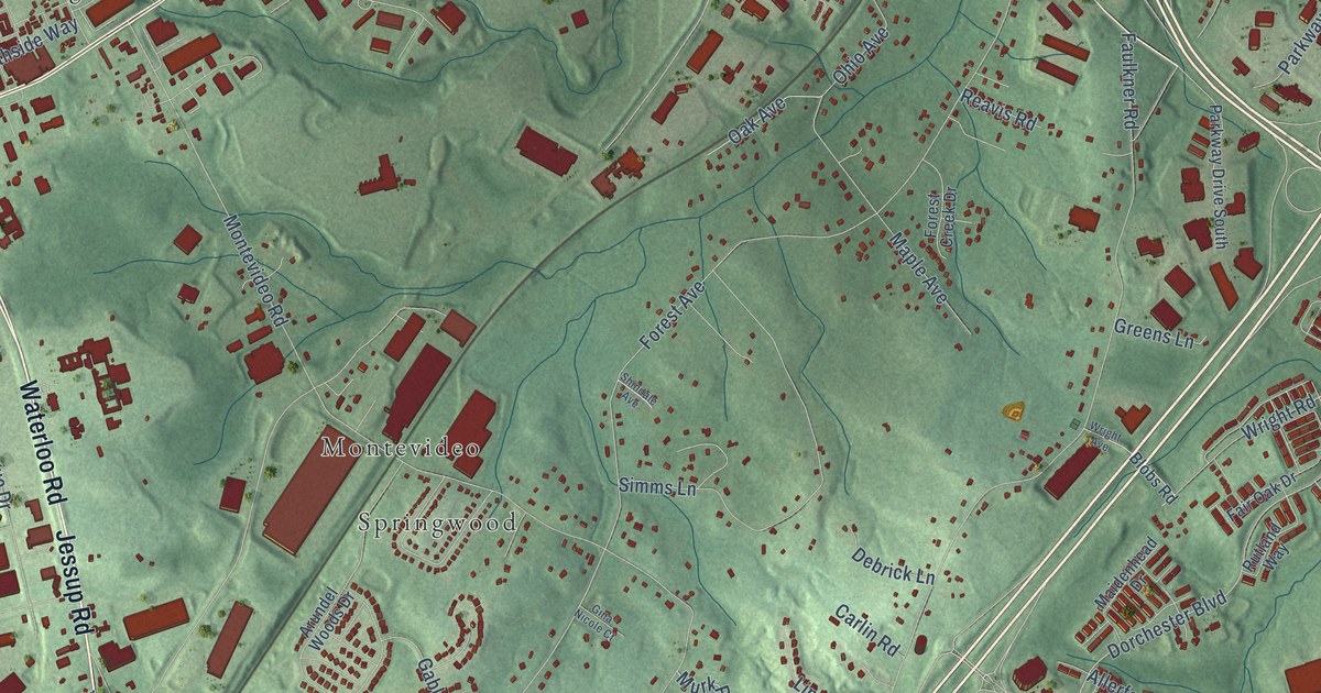
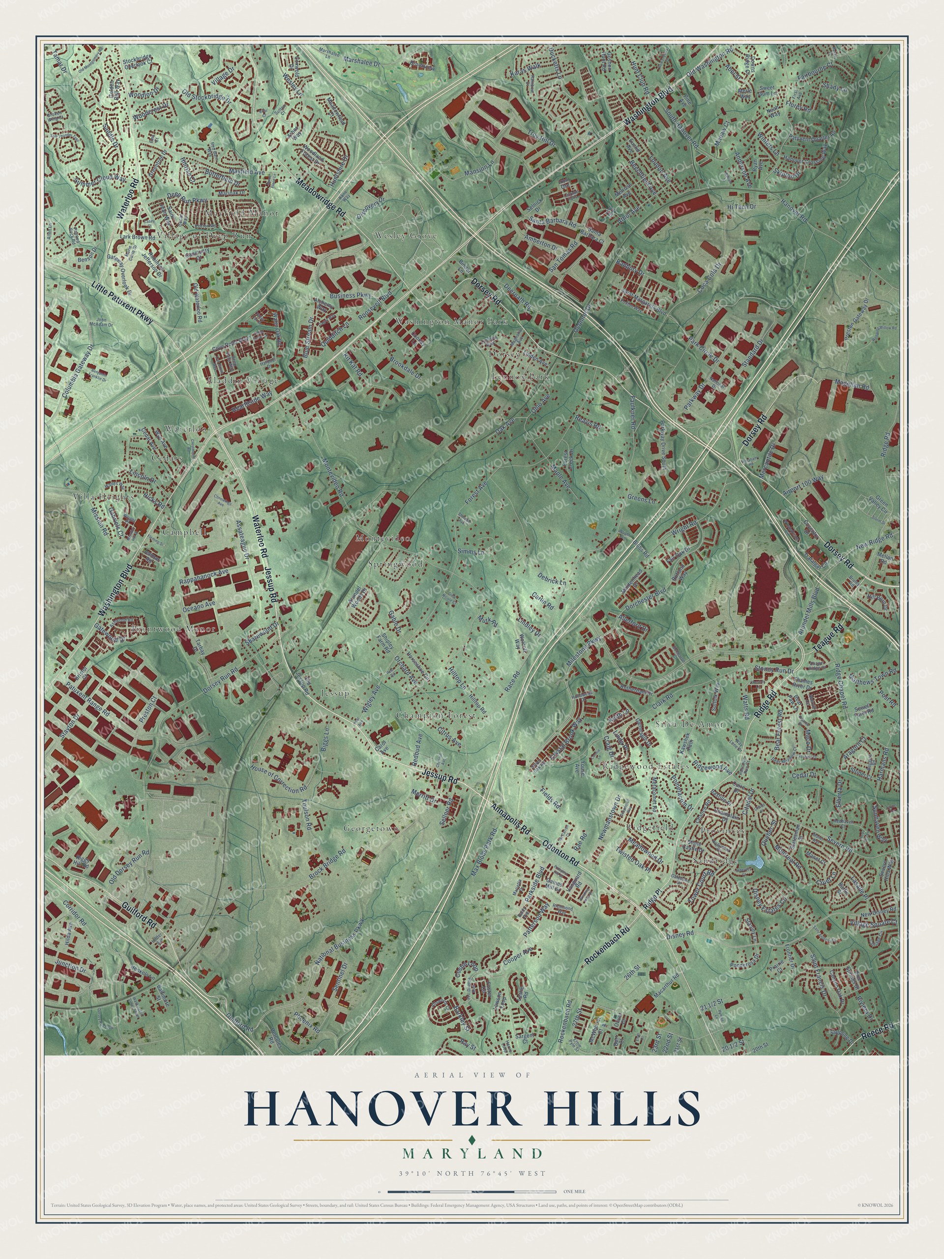
This beautifully detailed map of Hanover Hills, Maryland was created in 2026 using aerial imagery combined with modern topographical, census, street and landmark data. It’s a one-of-a-kind view of Hanover Hills that combines accurate data with a vintage aesthetic. The map shows every building in its true location, many of the roads carry their names, and the shaded topographic relief shows the shape of the land.
Explore an aerial view of Hanover Hills, Maryland
On the map you’ll find Silva-De-Amor, Wesley Grove, Georgetown, Waterloo, Village of Deep Run, Brentwood Manor, Sandridge, Champion Forest, Campbell, Springwood, Lennox Park, Jessup, and more. If you look closely you can even find your house accurately drawn in its correct location. Zoom in on the preview to look for yours.
Take a closer look at the Hanover Hills map
Names on this map
These names are printed on this map.
Places: Silva-De-Amor, Wesley Grove, Georgetown, Waterloo, Village of Deep Run, Brentwood Manor, Sandridge, Champion Forest, Campbell, Springwood, Lennox Park, Jessup, Washington Manor Park, Provinces, Cedars, Mayfield Manor, Aladdin Village, Ridgefield, Ridgewood Estates, Villa Heights, Dorsey and Montevideo.
Streets and roads: Waterloo Road, Annapolis Road, Jessup Road, Guilford Road, Washington Boulevard, Dorsey Road, Little Patuxent Parkway, Ridge Road, Meadowridge Road, Odenton Road, Rockenbach Road, Reece Road.
More street names, A to Z
20th Street, 21st Street, 22nd Street, 23rd Street, 26th Street, 27th Street, 91st Division Boulevard, Abel Street, Abraham Road, Airport 100 Way, Alchemy Way, Alderney Court, Allen Lane, Allerford Drive, Allsworth Court, Amberton Drive, Anderson Avenue, Aragorn Court, Arbor Way, Arundel Mills Boulevard, Arundel Woods Drive, Ashwood Road, Assateague Drive, Athol Avenue, Baffin Street, Baggins Road, Bakers Place, Baldy Avenue, Baltimore Street, Banbury Drive, Barkley Street, Bastille Place, Bear Forest Road, Bear Paw Lane, Beechfield Avenue, Benjamin Franklin Drive, Benson Drive, Biggs Lane, Binder Lane, Blobs Road, Blue Stream Drive, Briar Court, Bristol Court, Brock Bridge Road, Broken Wing Court, Brookdale Drive, Brookview, Bruley Road, Burr Court, Business Parkway, Butterfield Drive, Canyon Oak Drive, Carlin Road, Carol Avenue, Carriage Circle, Casey Court, Cedar Avenue, Cedar Drive, Cedar Grove Lane, Chalet Place, Chalice Road, Champlain Drive, Chapel Ridge Court, Chesnut Avenue, Cheston Lane, Citadel Drive, Citrus Avenue, Clark Road, Coca Cola Drive, Cocan Way, Columbia Gateway Drive, Connie Lane, Conowingo Avenue, Cooney Lane, Cooper Avenue, Corridor Road, Costin Loop, Coventry Drive, Cove Point Way, Coxwold Drive, Craig Drive, Crestmount Road, Cruet Lane, Crystal Brook Way, Cuire Drive, Dagny Way, Debrick Lane, Deep Falls Way, Deepnotch Way, Deep Run Parkway, Deer Meadow Court, Deerpath Road, Discovery Drive, Disney Estates Circle, Disney Road, Dorchester Boulevard, Dorsey Run Loop, Dorsey Run Road, Downs Ridge Court, Ducketts Lane, Elberta Drive, Ema Court, Endl Court, Ernie Pyle Street, Euclid Avenue, Fairbourne Court, Fair Oak Drive, Faulkner Road, Fields Road, First Avenue, Fleming Street, Florey Road, Forest Avenue, Forest Creek Drive, Foster Circle, Foxton Way, Foxtrail Court, Frontier Drive, Gable Drive, Gabriels Court, Gaines Mill Drive, Galetown Drive, Gateway Overlook Drive, Gatewood Drive, Gina Nicole Court, Gleneagle Drive, Golden Bell Way, Goshen Hunt Road, Greens Lane, Greentree Drive, Green Valley Circle, Hanover Crossing Way, Hanover Road, Harbour Drive, Harmans Road, Harris Loop, Hearthside Way, Henkels Lane, Hercules Road, Hicks Road, Hilda Avenue, Hilder Avenue, Hill Born Drive, Hillrise Court, Hilltop Lane, Hilltop Road, Hi Tech Drive, Hollowoak Drive, Home Place Lane, Horseshoe Circle, House of Correction Road, Huguenot Place, Hunt Club Road, Huntshire Drive, Hyman Lane, Iron Ore, Ivy Terrace, Jenmar Road, John McAdam Drive, Junction Drive, Kane Way, Karas Walk, Kawshek Path, Keeton Road, Keith Lane, Kit Kat Road, Lark Brown Road, Lasalle Place, Latrobe Falls, Lawson Loop, Leslie Road, Lincoln Drive, Linda Place, Linden Avenue, Lindley Drive, Loudon Avenue, Lyndsey Way, Macarthur Road, Macaw Court, Maco Drive, Magellan Road, Magnolia Avenue, Maidenhead Drive, Manet Court, Manet Way, Mansion Lane, Maple Avenue, Marie Curie Drive, Marietta Drive, Marioak Drive, Marshalee Drive, Marshalee Lane, Matthews Town Road, Max Blobs Park Road, Mayfield Avenue, McCarron Court, McWhorter Court, Meadowfield Court, Meadowood Drive, Mellon Road, Melrose Avenue, Mercantile Drive, Merle Way, Merritt Drive, Metacomet Road, Milestone Parkway, Mission Hill Place, Mission Road, Montevideo Road, Montreal Road, Murk Road, National Business Parkway, National Drive, New Disney Road, Newmanstown Drive, New Ridge Road, Noah Way, Oak Avenue, Oak Grove Way, Oceano Avenue, Oconnor Drive, Ohio Avenue, Old Dorsey Run Road, Old Jessup Road, Old Montgomery Road, Old Stockbridge Drive, Old Washington Road, Old Waterloo Road, Oliver Court, Orchard Avenue, Painted Rock Road, Park Circle Drive, Parkside Boulevard, Parkway Drive, Parkway Drive South, Patterson Way, Patuxent Quarter Road, Patuxent Range Road, Pear Avenue, Pear Road, Phoenix Road, Pine Avenue, Pine Springs Drive, Pometacom Drive, Ponderosa Drive, Post Road, Prairie Court, Preston Court, Preston Gateway Drive, Prospect Hill Drive, Quebec Street, Quidditch Lane, Raccoon Run Court, Race Road, Rae Road, Rainbow Drive, Rappahanock Avenue, Ray Street, Reavis Road, Red Barn Way, Redbud Avenue, Red Fox Lane, Redhaven Court, Richmond Way, Ridge Chapel Road, Ridge Place, Ridgewood Avenue, Riggs Hill Road, Riviera Drive, Robinson Jefferson Drive, Roosevelt Boulevard, Rotherham Drive, Rowanberry Drive, Rutland Way, Ryan Avenue, Saddle Drive, Saint Anthony Drive, Saint Francis Drive, Saint Jean Way, Saint Margarets Boulevard, Sanctuary Court, Santa Barbara Court, Santa Barbara Road, San Tomas Road, Sappling Drive, Sargent Court, Sellner Road, Selnick Drive, Sentinel Drive, Severn Hills Way, Severn Road, Sewell Farm Road, Shady Lane, Sharewood Drive, Sherrill Circle, Shindale Avenue, Shipley Farm Road, Silver Oak Road, Simms Lane, Skipton Drive, Soft Thunder Trail, Somerton Court, South Hanover Road, Standard Drive, Stanley Lane, Statesman Street, Stayton Drive, Stockbridge Overlook Court, Stone Castle Drive, Stoney Run Drive, Storm Drive, Strider Court, Suffolk Way, Summer Cloud Way, Sunhaven Way, Sutton Court, Sweet Gum Lane, Tamar Drive, Tarbay Drive, Taylor Terrace, Teague Road, Thames River Drive, Toulson Road, Tower Court Road, Trafalgar Circle, Troy Hill Drive, Twisted Oak Place, Urbanik Drive, Valley Oak Drive, Vanguard Road, Village Drive, Village Square Court, Wades Way, Washington Street South, Water Oak Road, Watts Road, Way Lene Drive, Weeping Willow Road, Wesley Lane, Wigley Avenue, William Street, Winding Hills Drive, Windstream Circle, Winters Lane, Wolcott Way, Woodcrest Drive, Woodland Forest Drive, Woodloo Drive, Wright Avenue, Wright Place, Wright Road, Wye Avenue, Youse Avenue.
See it on a wall
The Hanover Hills map as a framed print. Swipe for more.


This beautifully detailed map of Hanover Hills makes an attractive addition to your office, library, or den, and it can even be used to teach children the geography and history of the area. It also makes a great gift for someone who left Hanover Hills and still calls it home. When you’re done exploring, click here to get your copy of the Hanover Hills map.