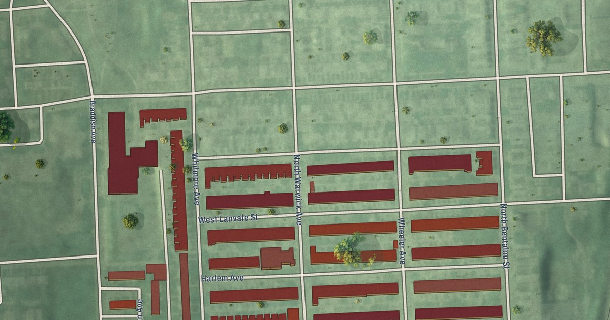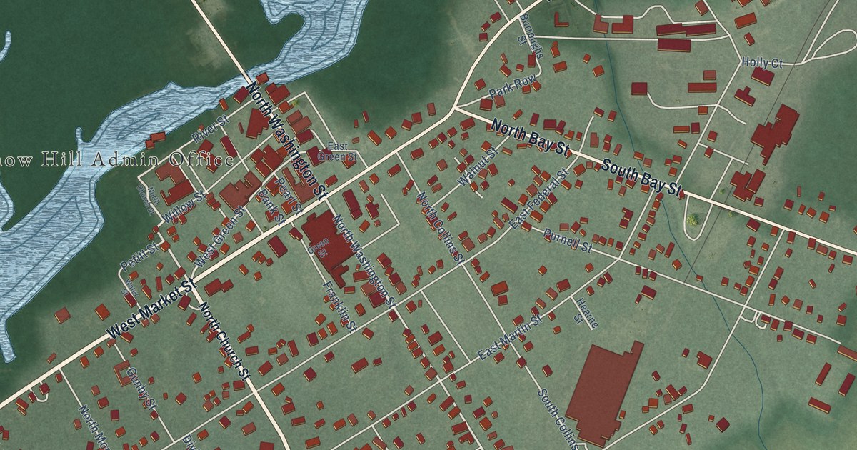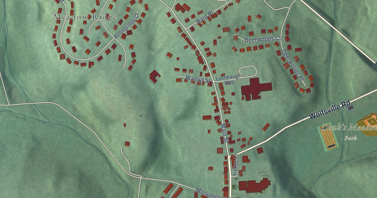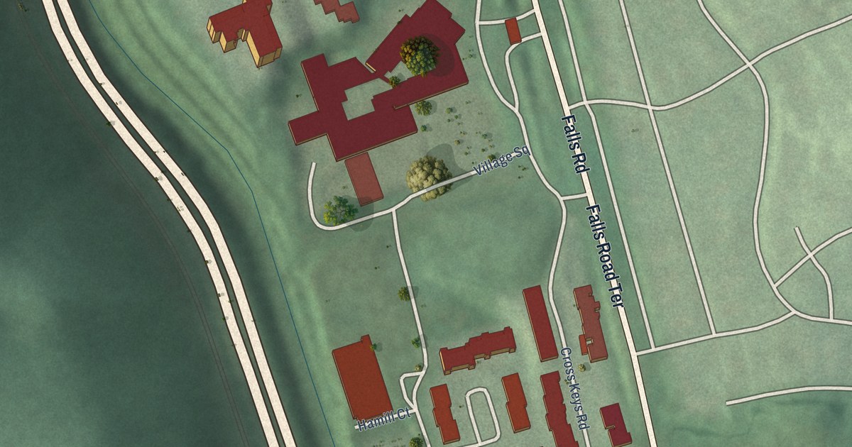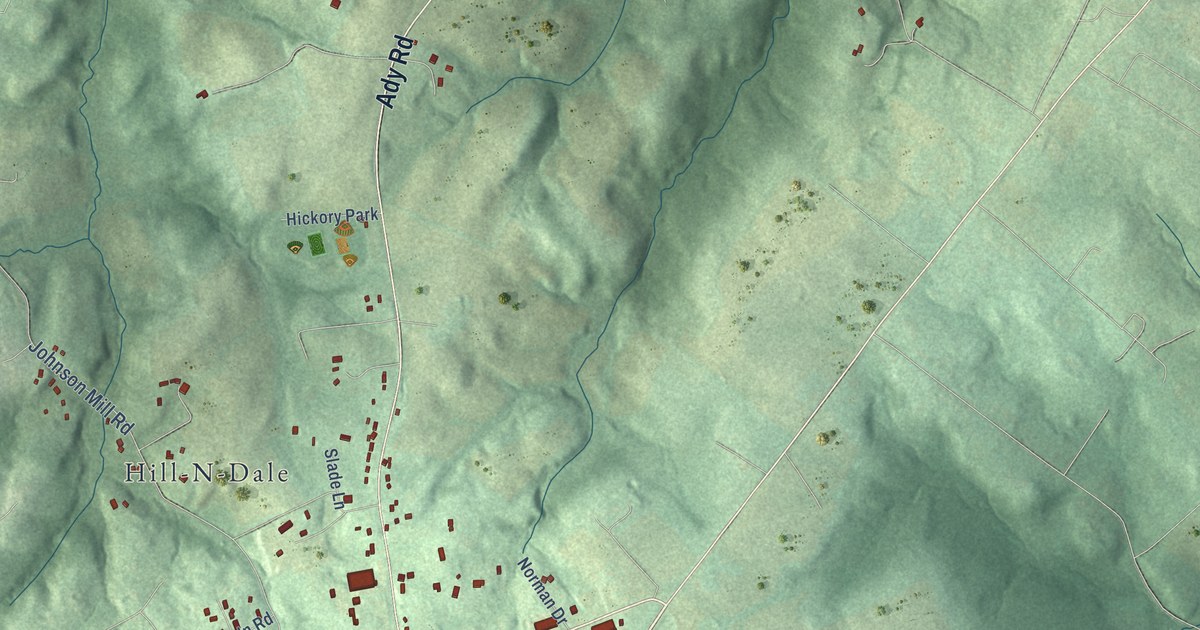
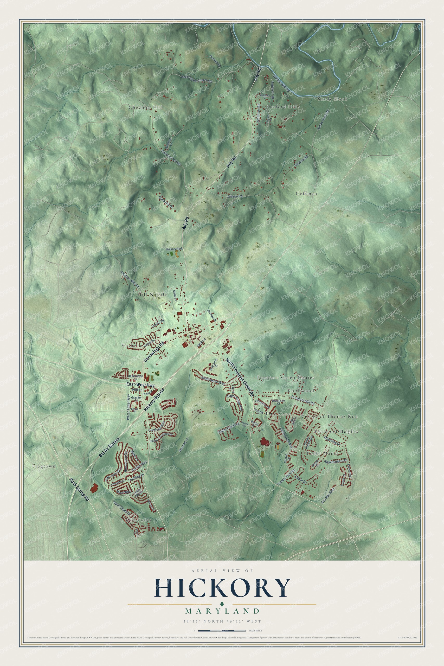
This beautifully detailed map of Hickory, Maryland was created in 2026 using aerial imagery combined with modern topographical, census, street and landmark data. It’s a one-of-a-kind view of Hickory that combines accurate data with a vintage aesthetic. The map shows every building in its true location, many of the roads carry their names, and the shaded topographic relief shows the shape of the land.
Explore an aerial view of Hickory, Maryland
On the map you’ll find The Vineyard, Sandy Hook, Chestnut Hill, Frogtown, Hill-N-Dale, Fairwood Heights, Coffman, Harford Hills, Voshelle, Fountain Green Estates, Old Fields, Knollwood, and more. If you look closely you can even find your house accurately drawn in its correct location. Zoom in on the preview to look for yours.
Take a closer look at the Hickory map
Names on this map
These names are printed on this map.
Places: The Vineyard, Sandy Hook, Chestnut Hill, Frogtown, Hill-N-Dale, Fairwood Heights, Coffman, Harford Hills, Voshelle, Fountain Green Estates, Old Fields, Knollwood, Pine Crest, Tudor Manor, Village of Thomas Run and Hickory Park.
Streets and roads: Hickory Bypass, Bel Air Bypass, Rock Spring Road, Ady Road, Conowingo Road, North Fountain Green Road, East-West Highway, Centreville Way, Chestnut Hill Road, Deer Creek Church Road, Henderson Road, Johnson Mill Road.
More street names, A to Z
Barefoot Lane, Bimini Drive, Bynum Road, Castle Road, Chesney Lane, Cone Hill Court, Dickinson Court, Dogwood Lane, Eagle Ridge Run, Edwin Drive, Enterprise Court, Eva Mar Boulevard, Falstaff Road, Felicia Court, Frogleap Way, Gibson Road, Granary Road, Hamlet Place North, Hartley Way, Hickory Overlook Drive, Hoagie Drive, Hoopes Road, Irwin Creek Drive, Irwins Choice, Jack Lane, Kathleen Drive, Kidwell Lane, Laurie Drive, Lillygate Lane, Lincoln Road, Livingston Drive, Louise Court, Many Lane, Milchling Drive, Norman Drive, Othello Court, Overlook Way, Parrish Lane, Pipercove Way, Pritt Lane, Prospect Mill Road, Rose Way, Saddleback Way, Sandy Hook Road, Shakespeare Drive, Slade Lane, Smithson Drive, Smithson Road, Spalding Drive, Thomas Run Road, Tyrell Court, Underwood Lane, Valley Oak Way, Walters Mill Road, Water Tower Way, Wye Mills Lane, Wysong Lane.
See it on a wall
The Hickory map as a framed print. Swipe for more.


This beautifully detailed map of Hickory makes an attractive addition to your office, library, or den, and it can even be used to teach children the geography and history of the area. It also makes a great gift for someone who left Hickory and still calls it home. When you’re done exploring, click here to get your copy of the Hickory map.