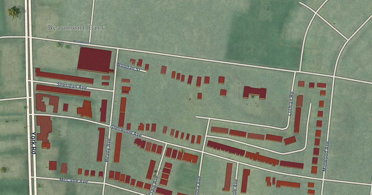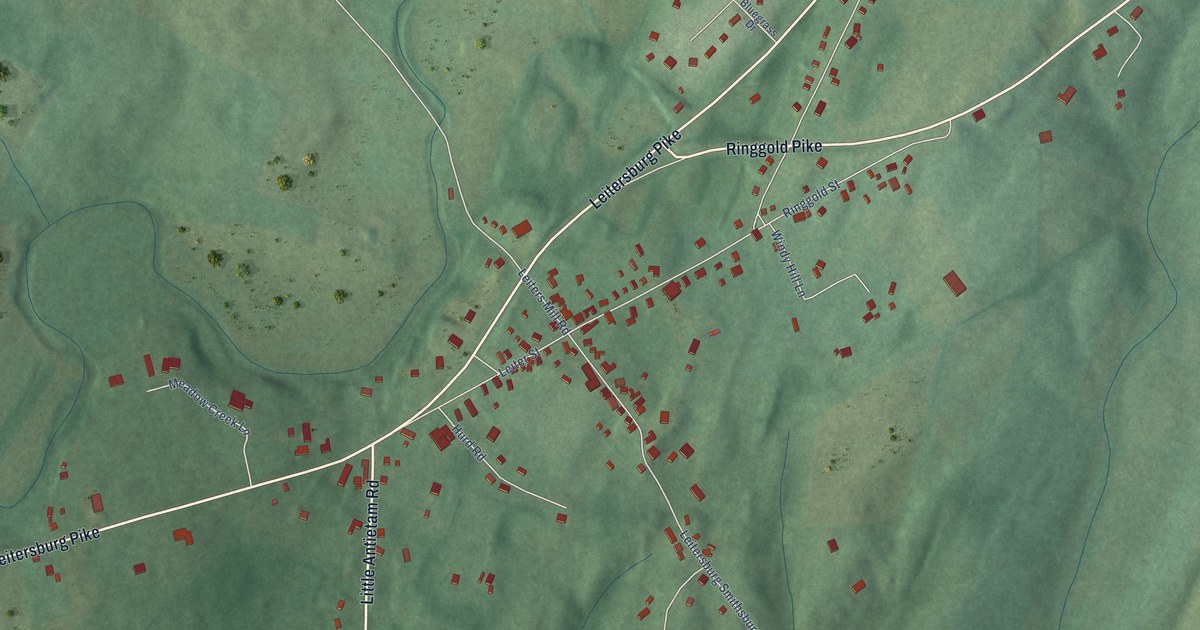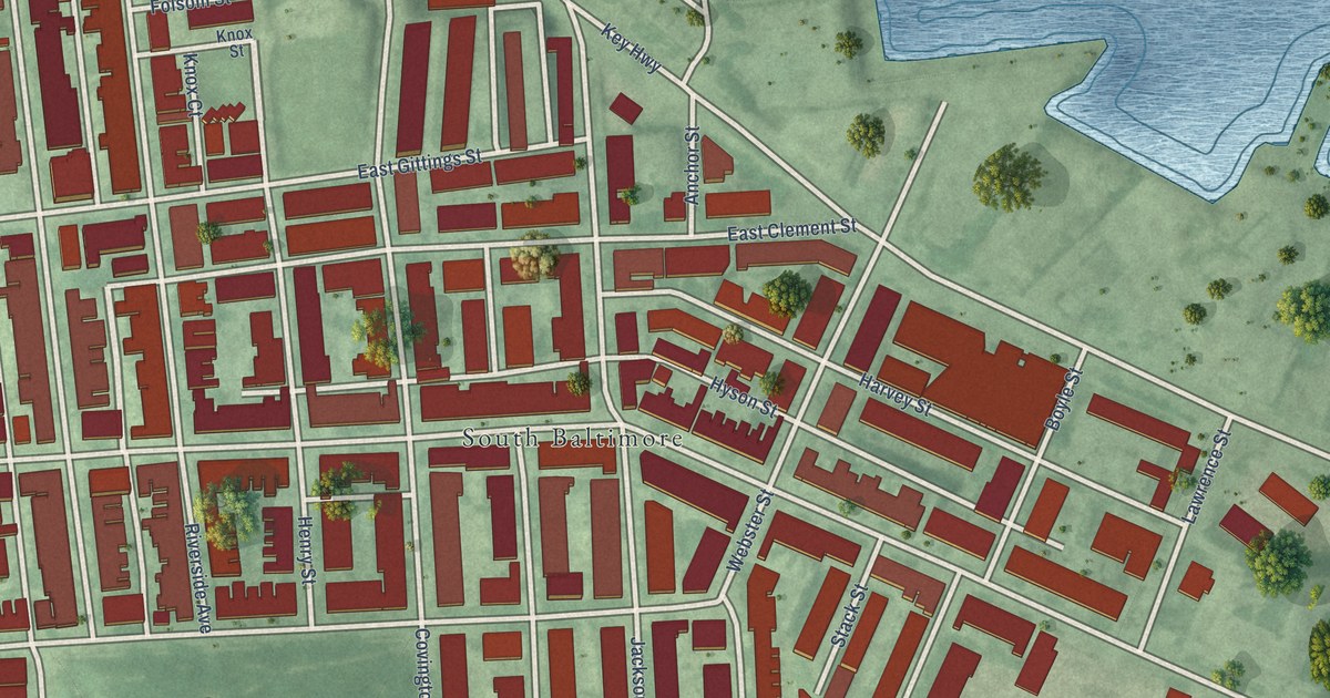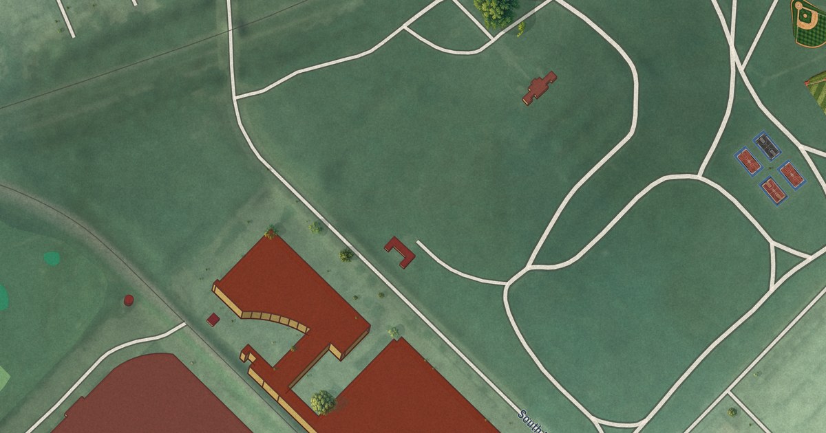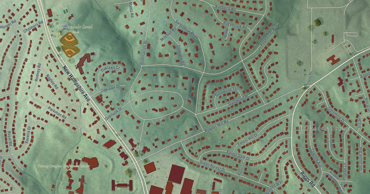
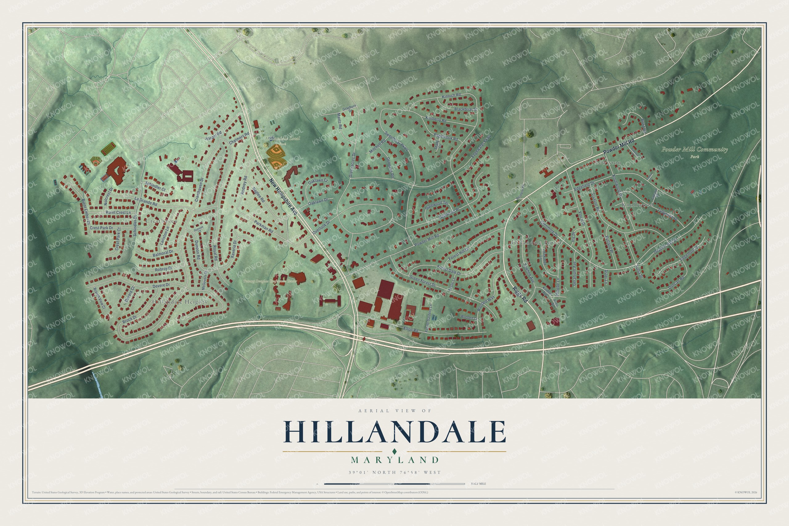
This beautifully detailed map of Hillandale, Maryland was created in 2026 using aerial imagery combined with modern topographical, census, street and landmark data. It's a modern aerial view of Hillandale in Montgomery County, Maryland, that combines modern data with a vintage aesthetic. The roads feature printed names, and if you look closely you can find your exact house accurately shown in its correct location.
Explore an aerial view of Hillandale, Maryland
On this map you'll find Hillandale Local Park, Powder Mill Community Park, Tommy Douglas Conference Center, Hillandale Forest, Knollwood, Hillandale Heights, Cresthaven, Lewiston, New Hampshire Avenue, Powder Mill Road, Riggs Road, Glenmore Drive, and more. Each red shape is a building, so zoom in on the preview and look for yours.
Hillandale is a community in Montgomery County. The Census Bureau counted 5,774 people here in 2020. Hillandale sits about 2 miles east of Four Corners, 2 miles north of Adelphi and 3 miles southwest of Calverton. The map prints the town name in its title panel, with the coordinates below it.
Take a closer look at the Hillandale map
Names on this map
These names are printed on this map.
Places: Hillandale Local Park, Powder Mill Community Park, Tommy Douglas Conference Center, Hillandale Forest, Knollwood, Hillandale Heights, Cresthaven and Lewiston.
Streets and roads: New Hampshire Avenue, Powder Mill Road, Riggs Road, Glenmore Drive, Deakins Hall Drive, Parkman Road, Cresthaven Drive, Kinloch Road, Devere Drive, Greenacres Drive, Overlook Drive, Edgewater Parkway.
More street names, A to Z
Aster Lane, Avenel Gardens Lane, Balmoral Drive, Blackbriar Street, Bond Road, Branch View Court, Brock Drive, Burnt Crest Lane, Burnt Ember Drive, Canyon Place, Chalmers Road, Chickadee Lane, Crest Park Court, Crest Park Drive, Deneane Road, Devere Court, Duncan Road, Dunoon Court, Dunoon Road, Edgefield Drive, Edgemont Drive, Elton Road, Floral Drive, Forest Dale Drive, Forest Hill Drive, Gatewood Place, Gatewood Terrace, Geranium Avenue, Grayburn Drive, Green Forest Drive, Harper Road, Iris Place, Killdeer Avenue, Kimberly Road, Knollwood Drive, La Grande Road, Lariston Lane, Mantz Road, McGovern Drive, Mitchell Road, Naglee Road, Nolcrest Drive, Oakhill Court, Oaklawn Court, Oaklawn Drive, Pagebrook Road, Perimeter Road, Phoebe Lane, Pinewood Court, Robroy Drive, Rodney Road, Royal Road, Rustic Lane, Rutland Place, Schindler Court, Schindler Drive, Shady Circle, Sweetbriar Parkway, Towhee Avenue, Truxton Road, Tullymore Drive, Tulsa Drive, Vireo Street, Wooded Court, Wooded Way, Xaveria Drive.
See it on a wall
The Hillandale map as a framed print. Swipe for more.


Created by KNOWOL in 2026. The buildings are small red shapes, the roads carry their printed names, and shaded relief shows the shape of the land. The title panel reads "AERIAL VIEW OF HILLANDALE, MARYLAND" with 39°01' NORTH 76°58' WEST.
Hang it in the hallway, the office or the cabin, or give it to someone who left Hillandale and still calls it home. Open the preview and look for a street you know. See sizes and frames for the Hillandale map.