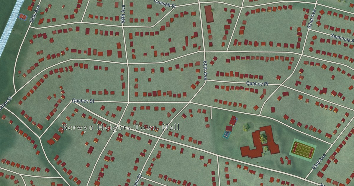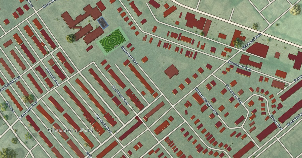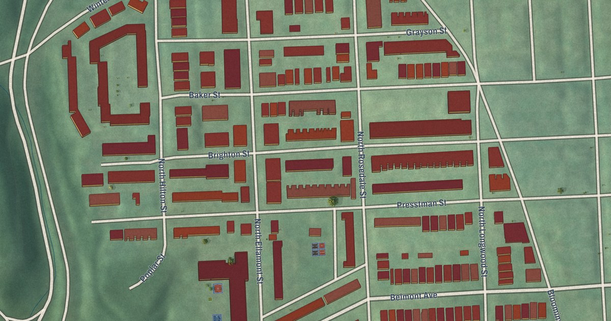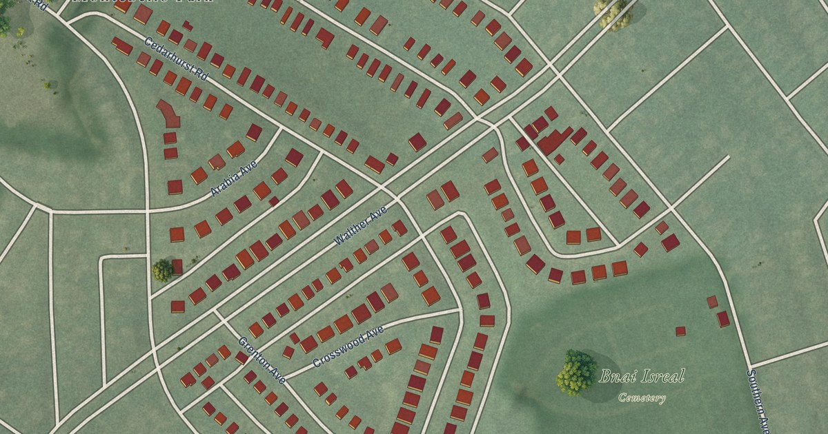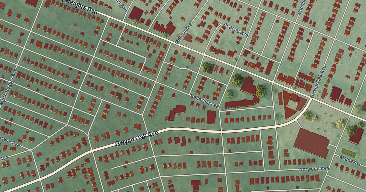
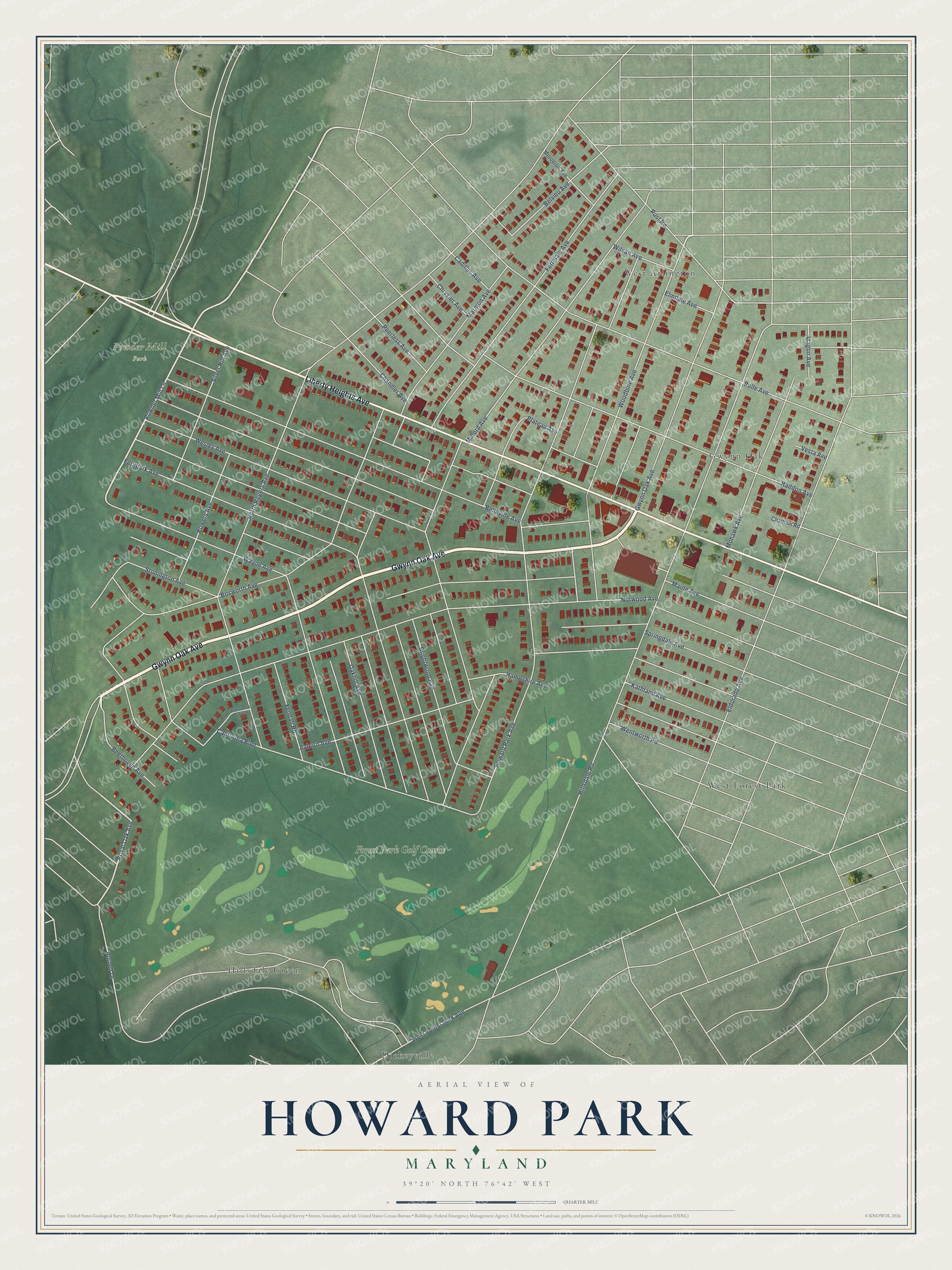
This beautifully detailed map of Howard Park, Maryland was created in 2026 using aerial imagery combined with modern topographical, census, street and landmark data. It's a modern aerial view of Howard Park in Baltimore City, Maryland, that combines modern data with a vintage aesthetic. The roads feature printed names, and if you look closely you can find your exact house accurately shown in its correct location.
Explore an aerial view of Howard Park, Maryland
On this map you'll find Powder Mill Park, Dickeyville, Gwynn Oak, Hillsdale Green, West Arlington, West Forest Park, Forest Park Golf Course, Gwynn Oak Avenue, Liberty Heights Avenue, Powder Mill Lane, Royal Oak Avenue, Hillsdale Road, and more. Each red shape is a building, so zoom in on the preview and look for yours.
Every town has a first chapter, and Howard Park is no exception. The National Register of Historic Places puts it this way: "Built in 1908 in the northwestern Baltimore neighborhood of Howard Park, P.S. 218 is an excellent example of the classic American neighborhood school building in several ways."
Howard Park is a neighborhood in Baltimore City.
Take a closer look at the Howard Park map
Names on this map
These names are printed on this map.
Places: Powder Mill Park, Dickeyville, Gwynn Oak, Hillsdale Green, West Arlington, West Forest Park and Forest Park Golf Course.
Streets and roads: Gwynn Oak Avenue, Liberty Heights Avenue, Powder Mill Lane, Royal Oak Avenue, Hillsdale Road, Milford Avenue, Ferndale Avenue, Howard Park Avenue, Norwood Avenue, Haddon Avenue, North Rogers Avenue, Belle Avenue.
More street names, A to Z
Aragon Avenue, Auburn Avenue, Beethoven Avenue, Belleville Avenue, Belvieu Avenue, Bosworth Avenue, Bowers Avenue, Brightwood Avenue, Cadillac Avenue, California Boulevard, Chandler Avenue, Chatham Road, Chrysler Avenue, Eldorado Avenue, Elmdale Avenue, Fendall Road, Fernpark Avenue, Hampshire Avenue, Kathland Avenue, Maine Avenue, Marmon Avenue, Merceron Avenue, Mohawk Avenue, Oakhill Avenue, Peerless Avenue, Plateau Avenue, Post Road, Purnell Drive, Robinwood Avenue, Silver Hill Avenue, Springdale Avenue, Stonington Avenue, Vesta Avenue, Wayne Avenue, Wentworth Road, Wesley Avenue, West Forest Park Avenue, Wilvan Avenue, Woodbine Avenue.
See it on a wall
The Howard Park map as a framed print. Swipe for more.


Created by KNOWOL in 2026. The buildings are small red shapes, the roads carry their printed names, and shaded relief shows the shape of the land. The title panel reads "AERIAL VIEW OF HOWARD PARK, MARYLAND" with 39°20' NORTH 76°42' WEST.
Hang it in the hallway, the office or the cabin, or give it to someone who left Howard Park and still calls it home. Open the preview and look for a street you know. See sizes and frames for the Howard Park map.