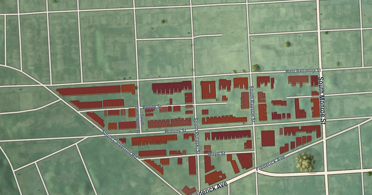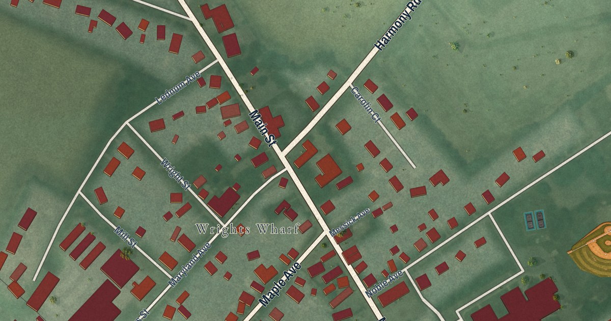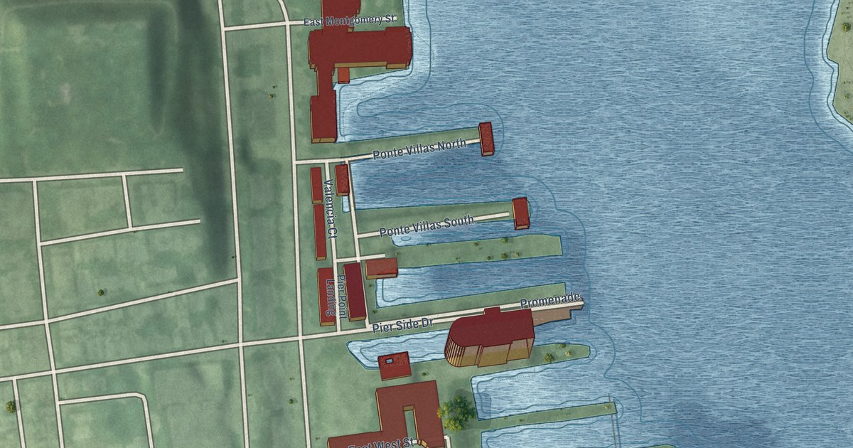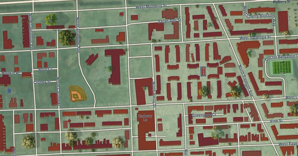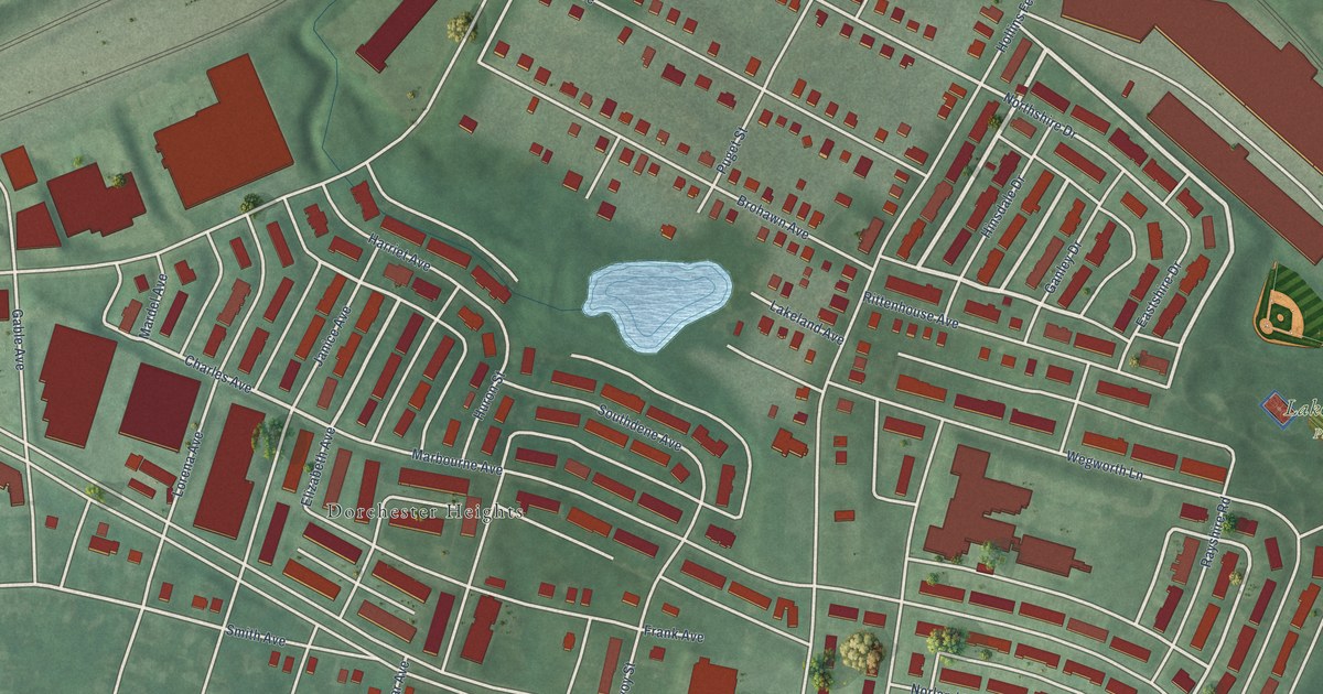
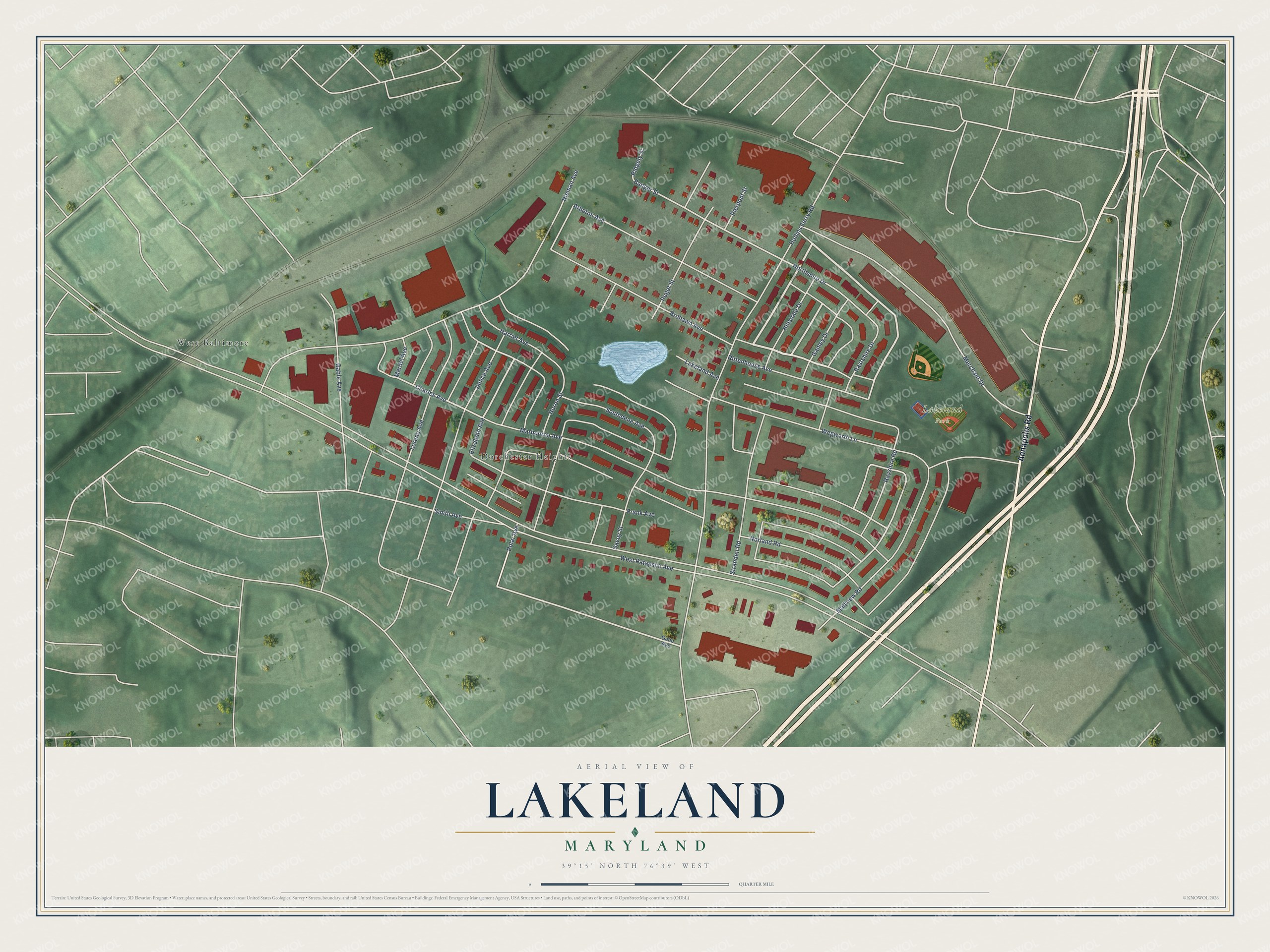
This beautifully detailed map of Lakeland, Maryland was created in 2026 using aerial imagery combined with modern topographical, census, street and landmark data. It's a modern aerial view of Lakeland in Baltimore City, Maryland, that combines modern data with a vintage aesthetic. The roads feature printed names, and if you look closely you can find your exact house accurately shown in its correct location.
Explore an aerial view of Lakeland, Maryland
On this map you'll find Lakeland Park, Dorchester Heights, West Baltimore, Annapolis Road, Charles Avenue, Polar Avenue, Banger Street, Smith Avenue, Northshire Drive, Nieman Avenue, Lorena Avenue, West Patapsco Avenue, and more. Each red shape is a building, so zoom in on the preview and look for yours.
Here is a piece of Lakeland history, in the words of the record. The Live Baltimore puts it this way: "Lakeland is a friendly neighborhood in South Baltimore enhanced by a diverse community. Home styles run the gamut from attached rowhomes to single-family detached craftsmans with shopping, churches and green space all nearby."
Lakeland is a neighborhood in Baltimore City.
Take a closer look at the Lakeland map
Names on this map
These names are printed on this map.
Places: Lakeland Park, Dorchester Heights and West Baltimore.
Streets and roads: Annapolis Road, Charles Avenue, Polar Avenue, Banger Street, Smith Avenue, Northshire Drive, Nieman Avenue, Lorena Avenue, West Patapsco Avenue, Hollins Ferry Road, Marbourne Avenue, Wegworth Lane.
More street names, A to Z
Arbuton Avenue, Brohawn Avenue, Eastshire Drive, Elizabeth Avenue, Frank Avenue, Gable Avenue, Ganley Drive, Gehb Avenue, Harriet Avenue, Hinsdale Drive, Huron Street, Janice Avenue, Lakeland Avenue, Mallview Road, Mardel Avenue, Merchant Drive, Norland Road, Pierpont Street, Puget Street, Rayshire Road, Ridgely Street, Rittenhouse Avenue, Savoy Street, Southdene Avenue, Stranden Road.
Created by KNOWOL in 2026. The buildings are small red shapes, the roads carry their printed names, and shaded relief shows the shape of the land. The title panel reads "AERIAL VIEW OF LAKELAND MARYLAND" with 39°15' NORTH 76°39' WEST.
It suits a den, a classroom or a front hall, and it makes a gift for anyone with Lakeland roots. Open the preview and find the block you know. See sizes and frames for the Lakeland map.