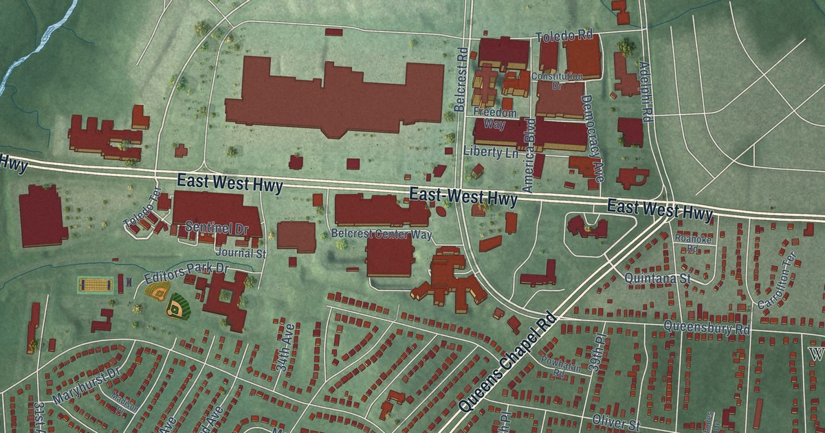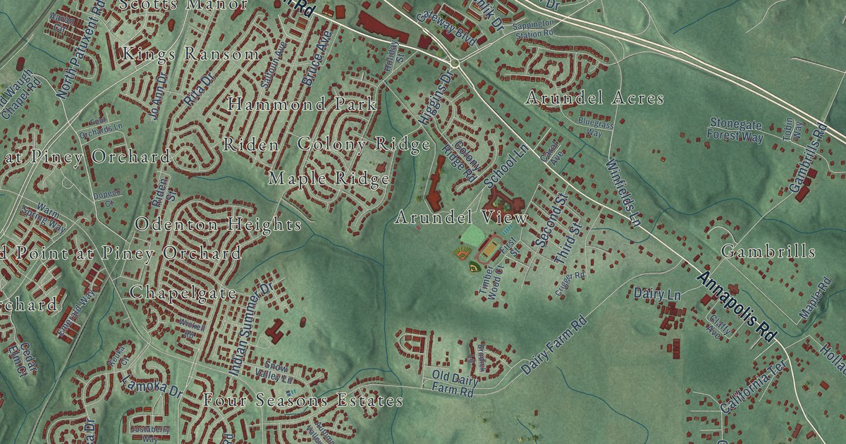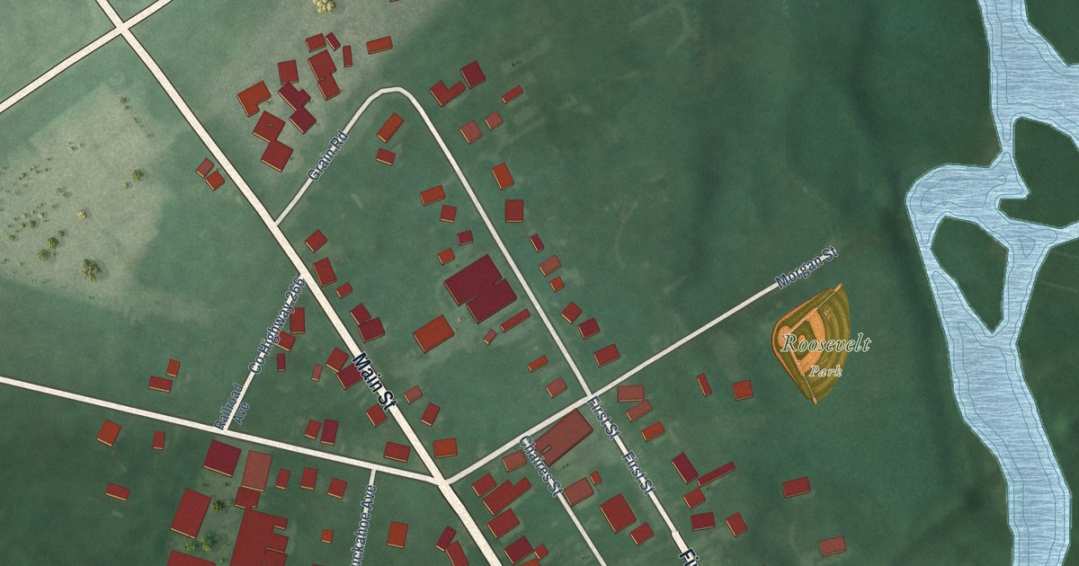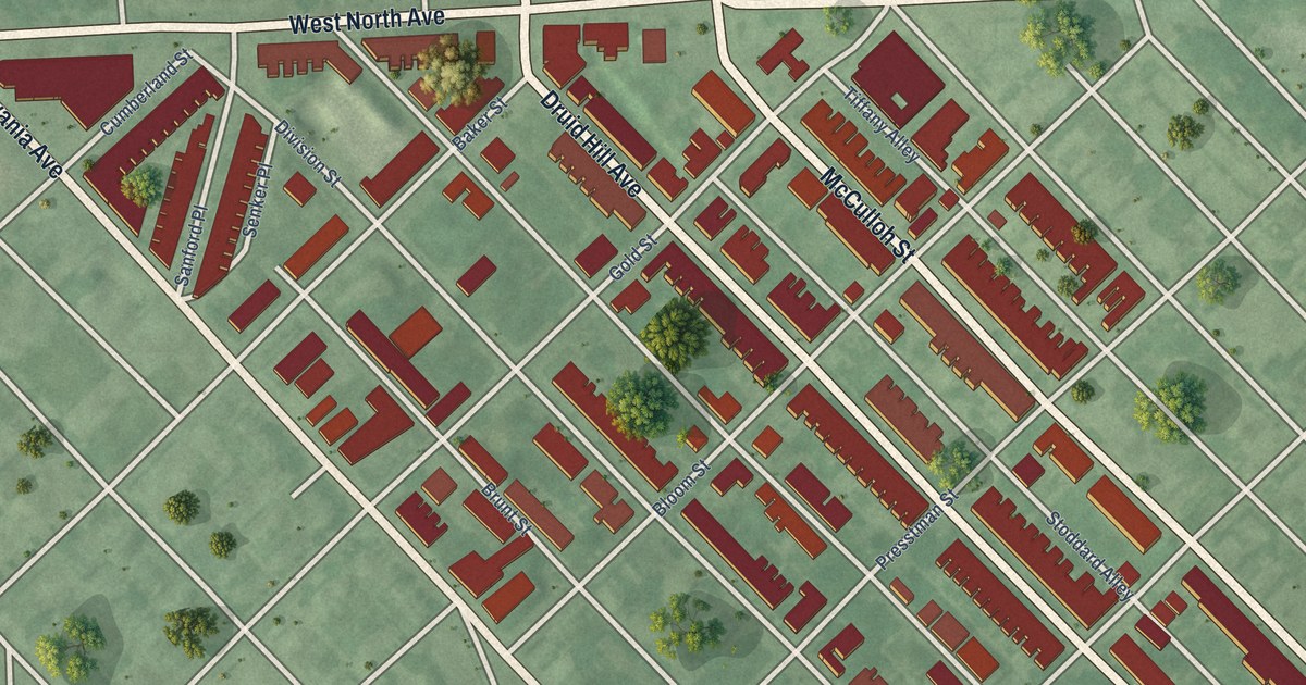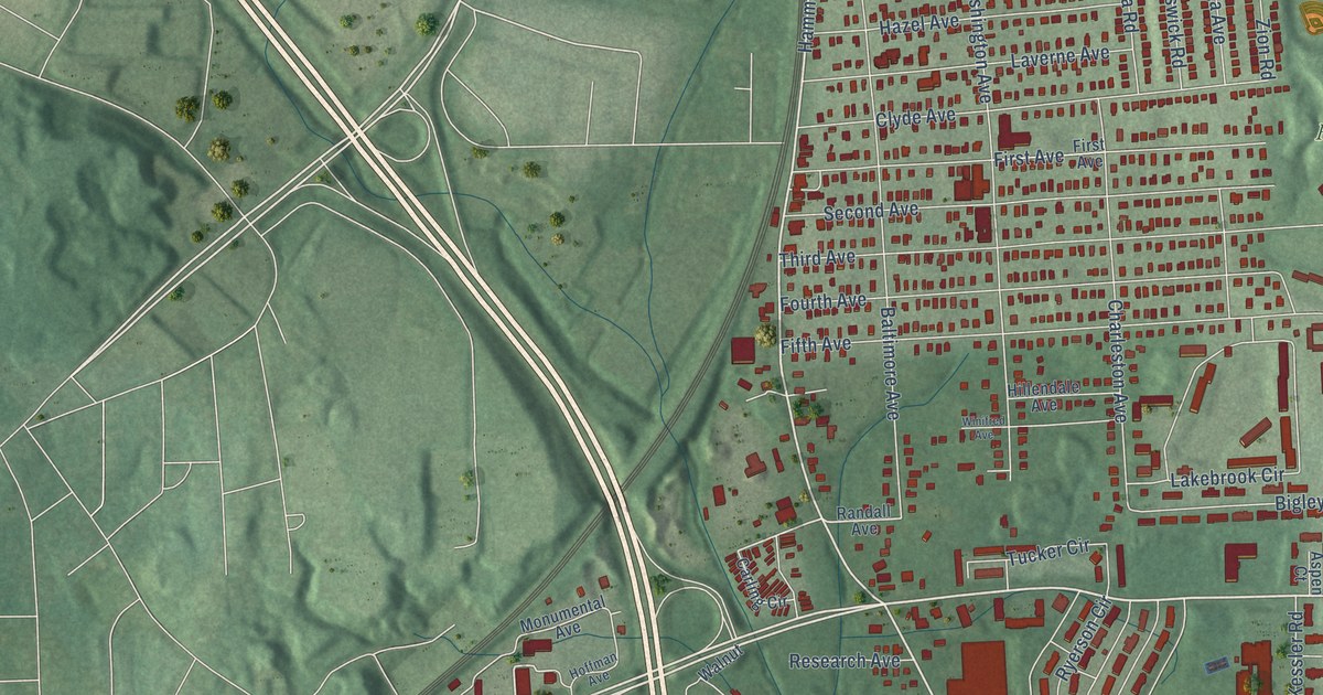
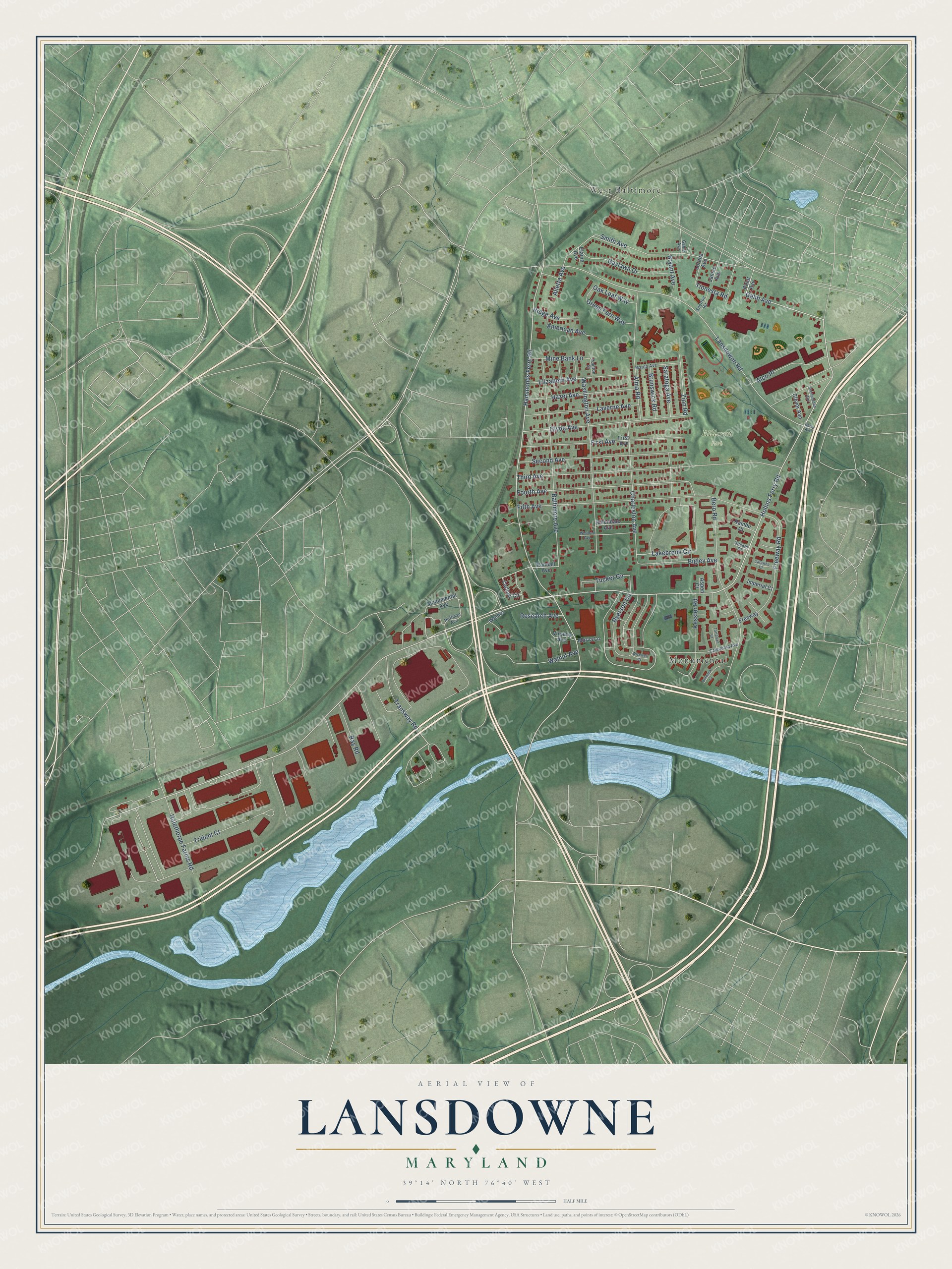
This beautifully detailed map of Lansdowne, Maryland was created in 2026 using aerial imagery combined with modern topographical, census, street and landmark data. It's a modern aerial view of Lansdowne in Baltimore County, Maryland, that combines modern data with a vintage aesthetic. The roads feature printed names, and if you look closely you can find your exact house accurately shown in its correct location.
Explore an aerial view of Lansdowne, Maryland
On this map you'll find Hillcrest Park, Monumental, West Baltimore, Hollins Ferry Road, Gehb Avenue, Hammonds Ferry Road, Lansdowne Road, Smith Avenue, Third Avenue, Fifth Avenue, First Avenue, Baltimore Avenue, and more. Each red shape is a building, so zoom in on the preview and look for yours.
Lansdowne is a community in Baltimore County. The Census Bureau counted 9,004 people here in 2020. Lansdowne sits about 2 miles east of Arbutus, 2 miles north of Linthicum and 3 miles northwest of Brooklyn Park. The map prints the town name in its title panel, with the coordinates below it.
Take a closer look at the Lansdowne map
Names on this map
These names are printed on this map.
Places: Hillcrest Park, Monumental and West Baltimore.
Streets and roads: Hollins Ferry Road, Gehb Avenue, Hammonds Ferry Road, Lansdowne Road, Smith Avenue, Third Avenue, Fifth Avenue, First Avenue, Baltimore Avenue, Bero Road, Fourth Avenue, Washington Avenue.
More street names, A to Z
Alco Place, Alletta Avenue, Alma Road, American Avenue, Aspen Court, Bigley Avenue, Brunswick Road, Bryant Avenue, Burbank Court, Caledonia Avenue, Carling Circle, Catawba Court, Charleston Avenue, Clover Avenue, Clyde Avenue, Daisy Avenue, Elaine Avenue, Elizabeth Avenue, Freeway, Freeway Road, Gable Avenue, Gaylawn Drive, Green Fern Way, Halethorpe Farms Road, Hazel Avenue, Hillendale Avenue, Hoffman Avenue, Imperial Court, Janice Avenue, Kessler Road, Lakebrook Circle, Laverne Avenue, Lorena Avenue, Mardo Avenue, Marva Lane, Mine Bank Lane, Monumental Avenue, Oak Leaf Way, Polar Avenue, Poulton Street, Rambo Court, Randall Avenue, Ray Road, Research Avenue, Ridge Avenue, Ryerson Circle, Saratoga Avenue, Seckel Court, Second Avenue, Shenandoah Avenue, Silerton Road, Tartarian Court, Tionesta Road, Transway Road, Trident Court, Tucker Circle, Virginia Avenue, Walnut, Walnut Avenue, Winifred Avenue, Wisewell Court, Zion Road.
See it on a wall
The Lansdowne map as a framed print. Swipe for more.


Created by KNOWOL in 2026. The buildings are small red shapes, the roads carry their printed names, and shaded relief shows the shape of the land. The title panel reads "AERIAL VIEW OF LANSDOWNE, MARYLAND" with 39°14' NORTH 76°40' WEST.
Hang it in the hallway, the office or the cabin, or give it to someone who left Lansdowne and still calls it home. Open the preview and look for a street you know. See sizes and frames for the Lansdowne map.