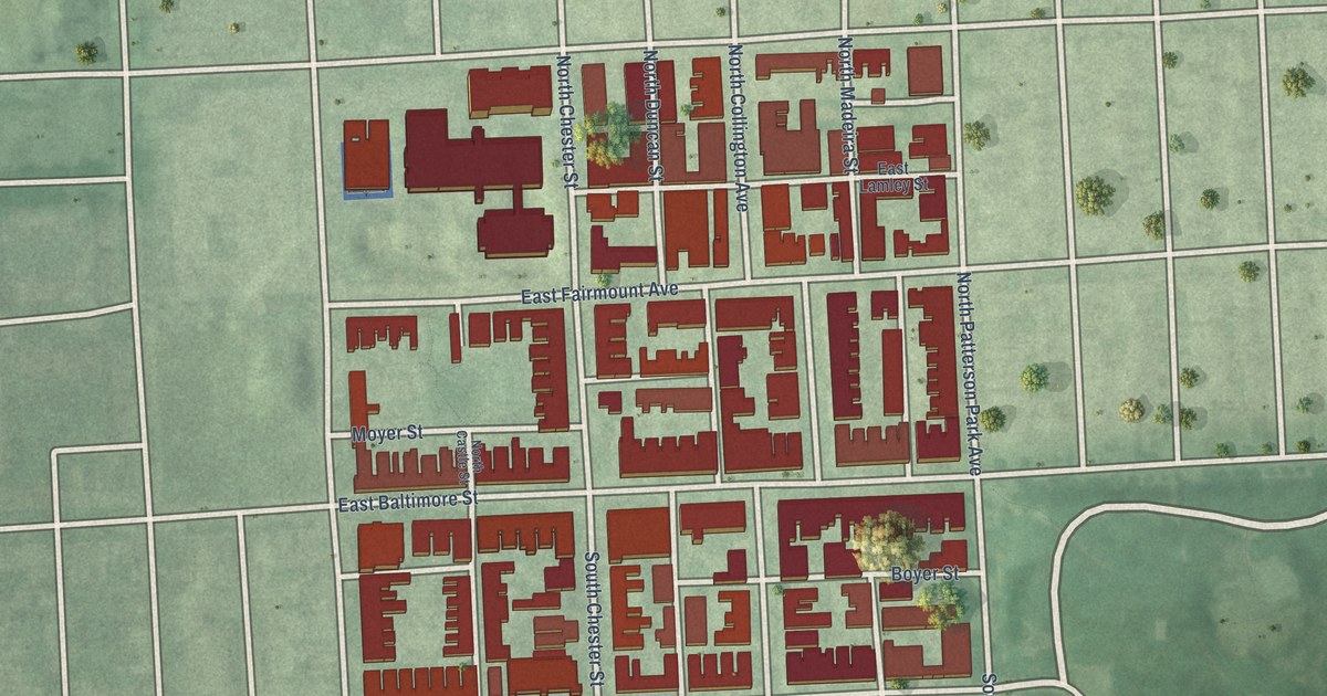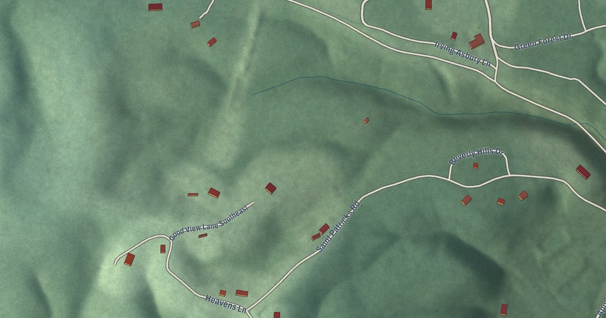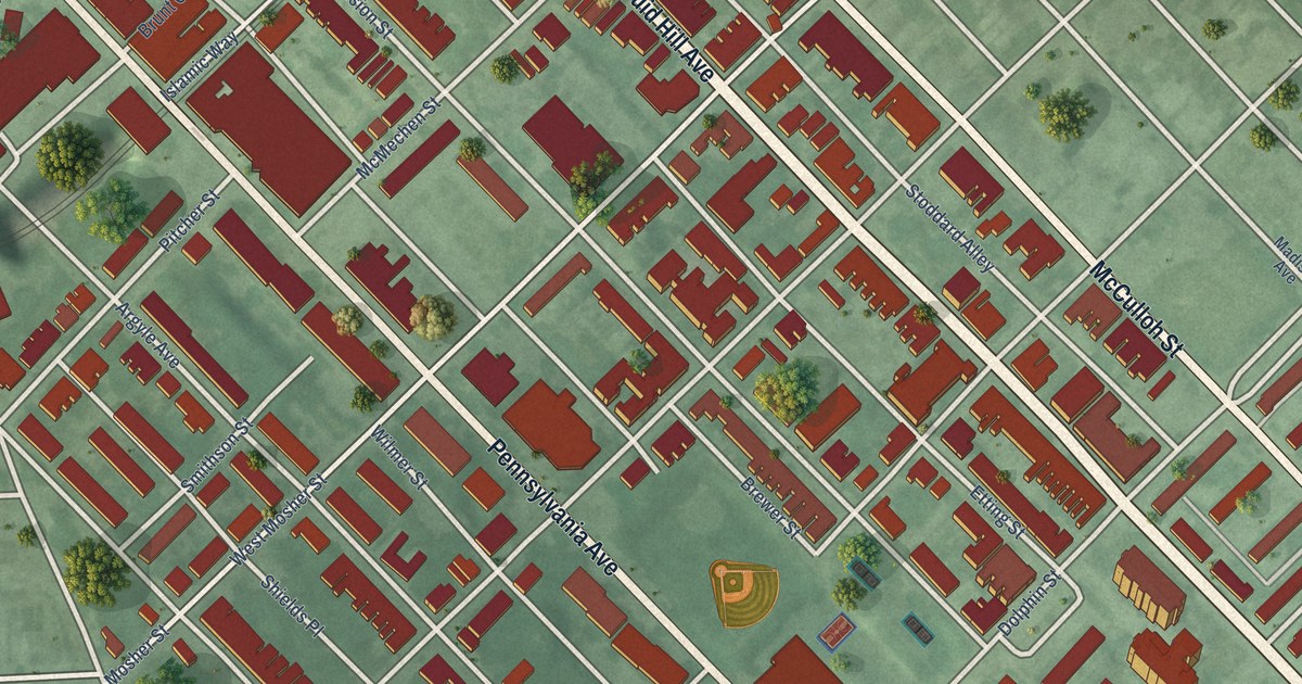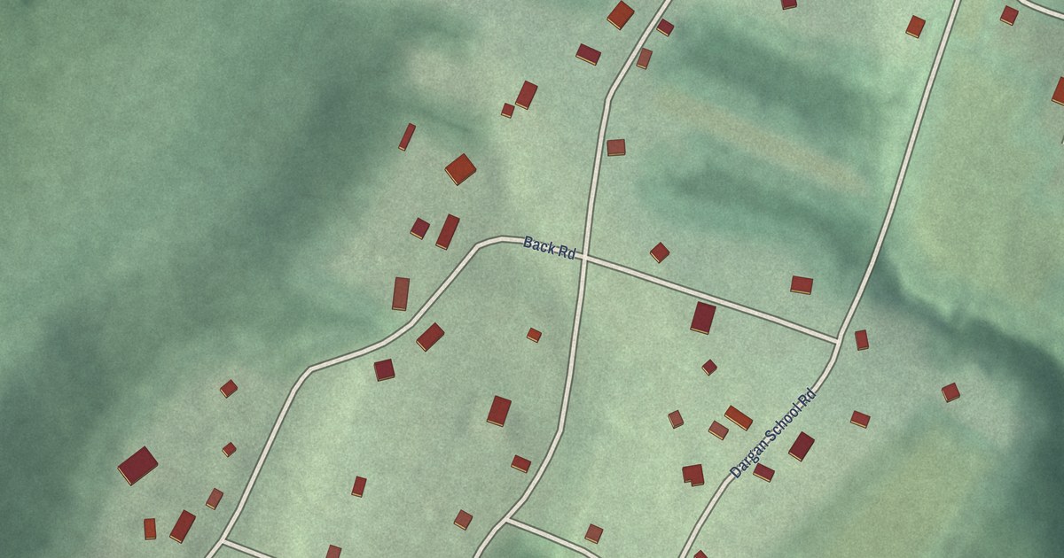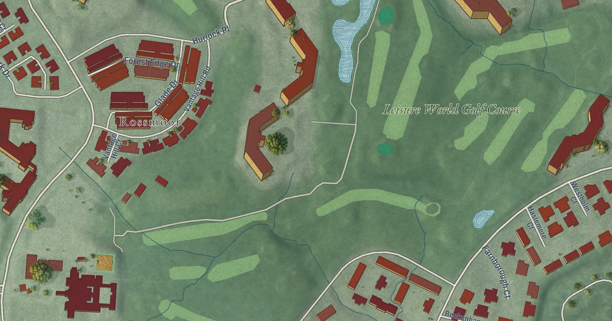
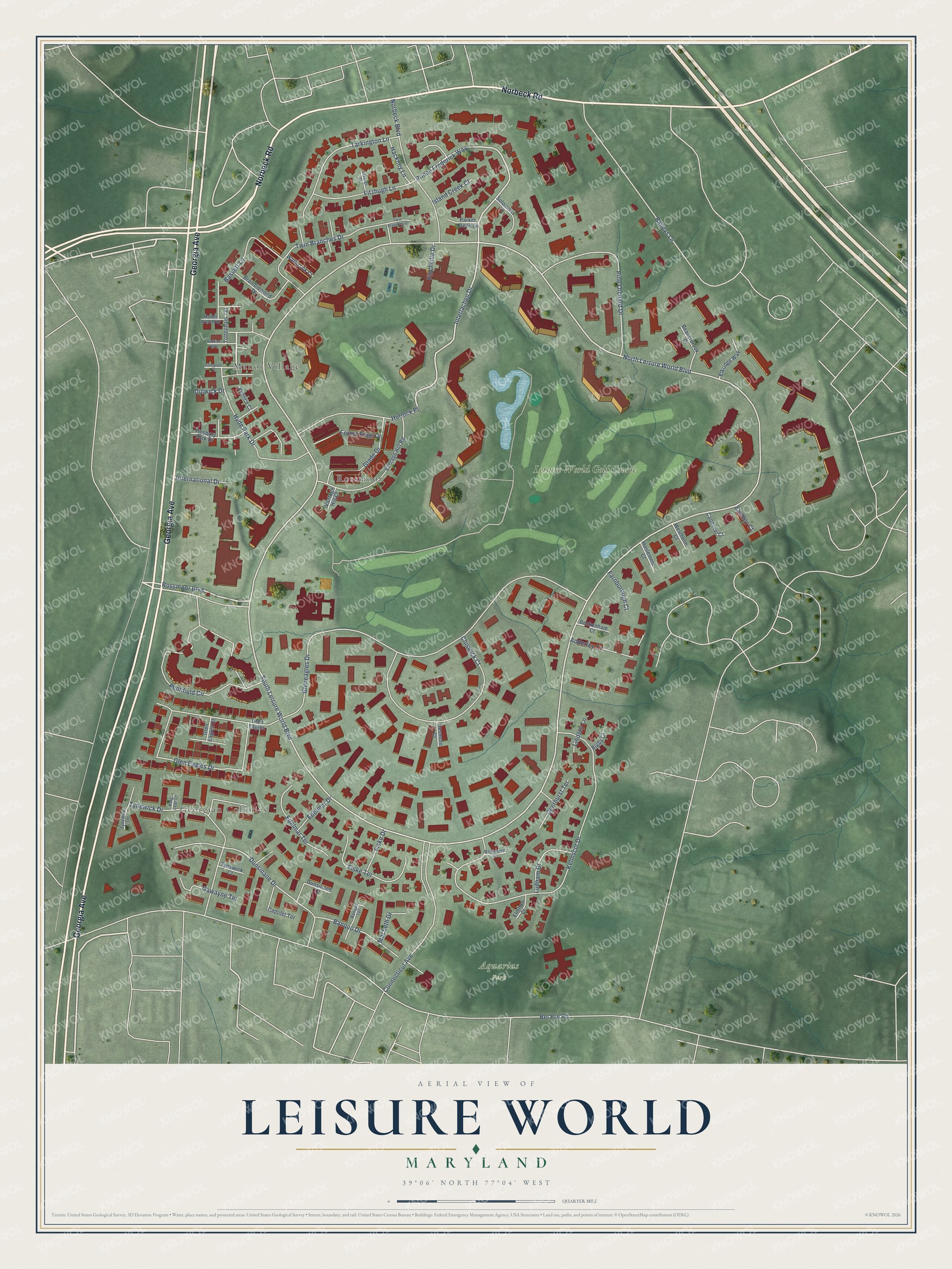
This beautifully detailed map of Leisure World, Maryland was created in 2026 using aerial imagery combined with modern topographical, census, street and landmark data. It's a modern aerial view of Leisure World in Montgomery County, Maryland, that combines modern data with a vintage aesthetic. The roads feature printed names, and if you look closely you can find your exact house accurately shown in its correct location.
Explore an aerial view of Leisure World, Maryland
On this map you'll find Aquarius Park, Rossmoor, Georgian Colonies, Manor Village, Leisure World Golf Course, Georgia Avenue, Norbeck Road, Hyde Park Drive, Interlachen Drive, Rossmoor Boulevard, Prince Frederick Way, North Leisure World Boulevard, and more. Each red shape is a building, so zoom in on the preview and look for yours.
Leisure World is a community in Montgomery County. The Census Bureau counted 9,215 people here in 2020. Leisure World sits about 2 miles northwest of Layhill, 3 miles northwest of Glenmont and 3 miles south of Olney. The map prints the town name in its title panel, with the coordinates below it.
Take a closer look at the Leisure World map
Names on this map
These names are printed on this map.
Places: Aquarius Park, Rossmoor, Georgian Colonies, Manor Village and Leisure World Golf Course.
Streets and roads: Georgia Avenue, Norbeck Road, Hyde Park Drive, Interlachen Drive, Rossmoor Boulevard, Prince Frederick Way, North Leisure World Boulevard, South Leisure World Boulevard, Bel Pre Road, Gleneagles Drive, Kelmscot Drive, Pennfield Circle.
More street names, A to Z
Adderley Court, Baileys Lane, Banquo Drive, Banquo Terrace, Bassett Lane, Beaverbrook Court, Beckenham Court, Bethnal Way, Bigby Court, Bramblewood Drive, Candover Court, Capulet Terrace, Chiswick Court, Connecticut Avenue, Deerhurst Terrace, Densmore Court, Desmore Court, Dulwick Drive, Dunsinane Court, Dunsinane Drive, Eardley Court, Edelmar Drive, Edelmar Terrace, Elkridge Way, Elmhan Court, Farnborough Court, Finchville Drive, Finsbury Park Drive, Fiske Drive, Fiske Terrace, Fitzhugh Court, Fitzhugh Lane, Forest Edge Drive, Gawayne Terrace, Glade Drive, Glen Eagles, Glen Eagles Court, Glen Eagles Drive, Hackney Lane, Haslemere Court, Hurlock Place, International Drive, Island Creek Court, King Lear Court, Lindsey Lane, Liverpool Place, Ludham Drive, Macbeth Drive, Marble Arch Way, Norbeck Boulevard, Parker Creek Lane, Pimlico Court, Pine Orchard Drive, Solomons Court, Tarkington Lane, Tottenham Terrace, Twin Branches Court, Twin Branches Drive, Tynewick Court, Tynewick Drive, Tynewick Terrace, Vantage Hill Court, Vantage Hill Road, Wallbrook Court, Westholm Court.
See it on a wall
The Leisure World map as a framed print. Swipe for more.


Created by KNOWOL in 2026. The buildings are small red shapes, the roads carry their printed names, and shaded relief shows the shape of the land. The title panel reads "AERIAL VIEW OF LEISURE WORLD, MARYLAND" with 39°06' NORTH 77°04' WEST.
It looks right in a kitchen, an office or a den, and it's a gift for anyone who grew up in Leisure World or moved away. Open the preview and find your street. See sizes and frames for the Leisure World map.