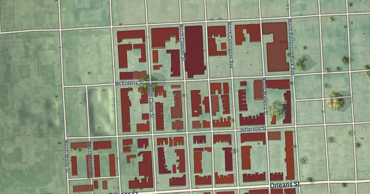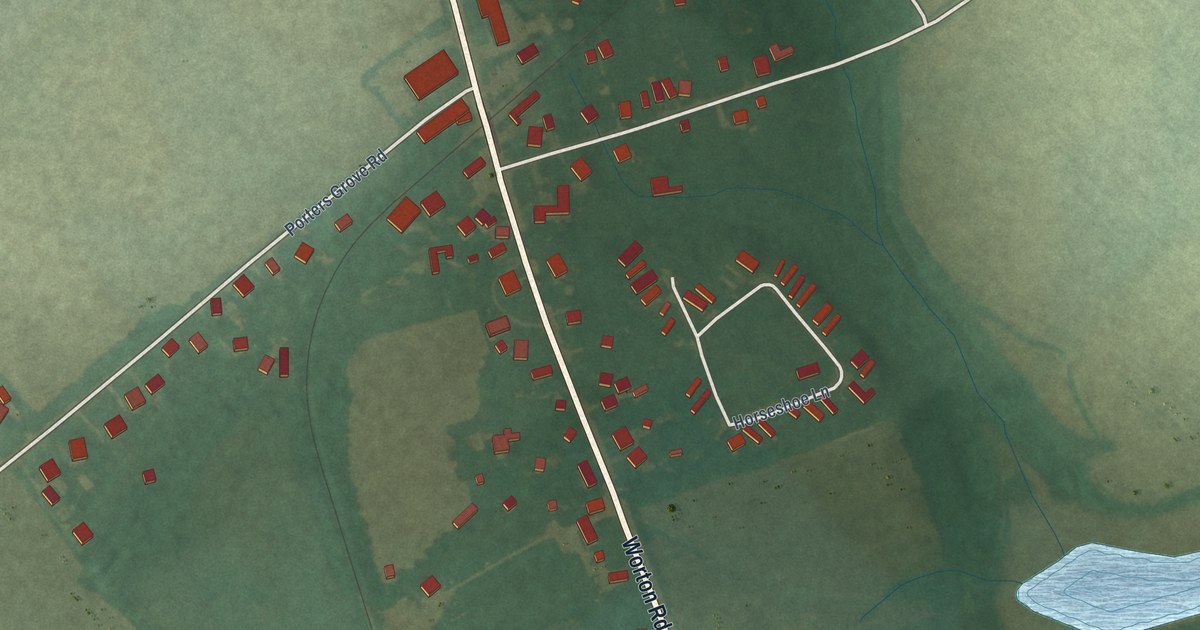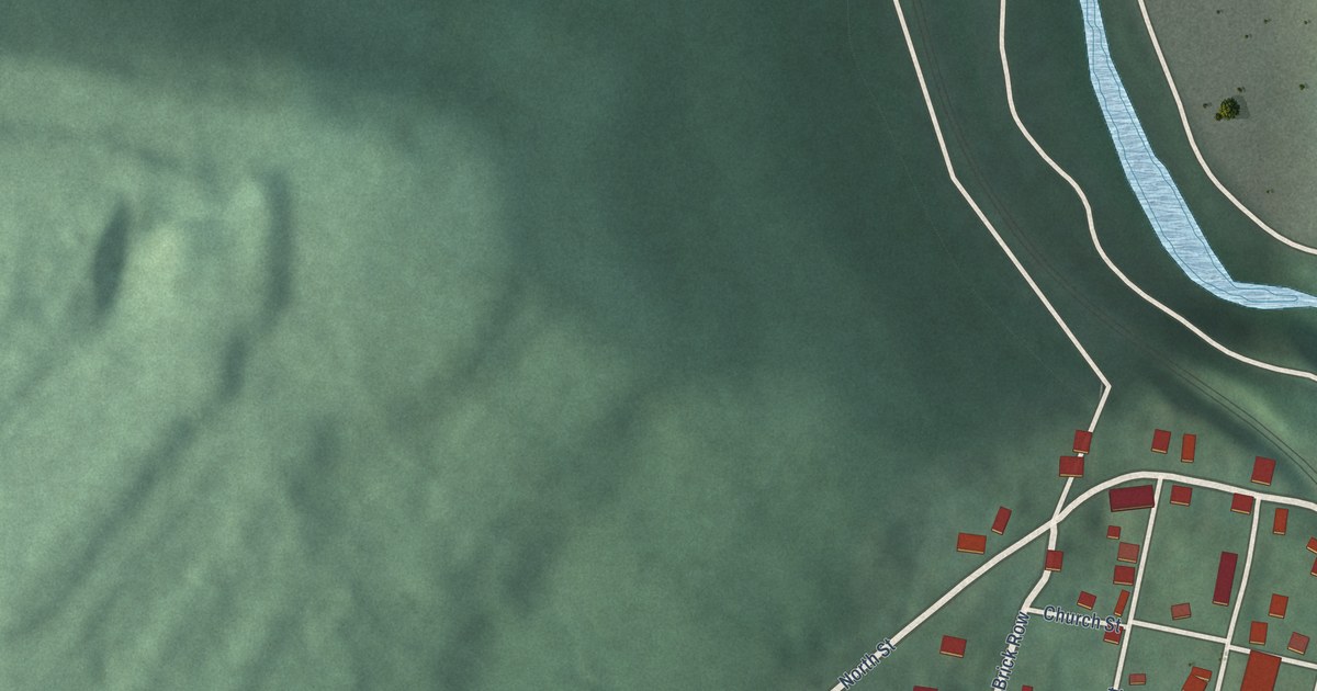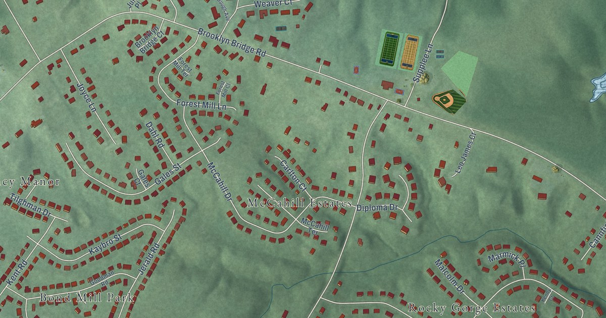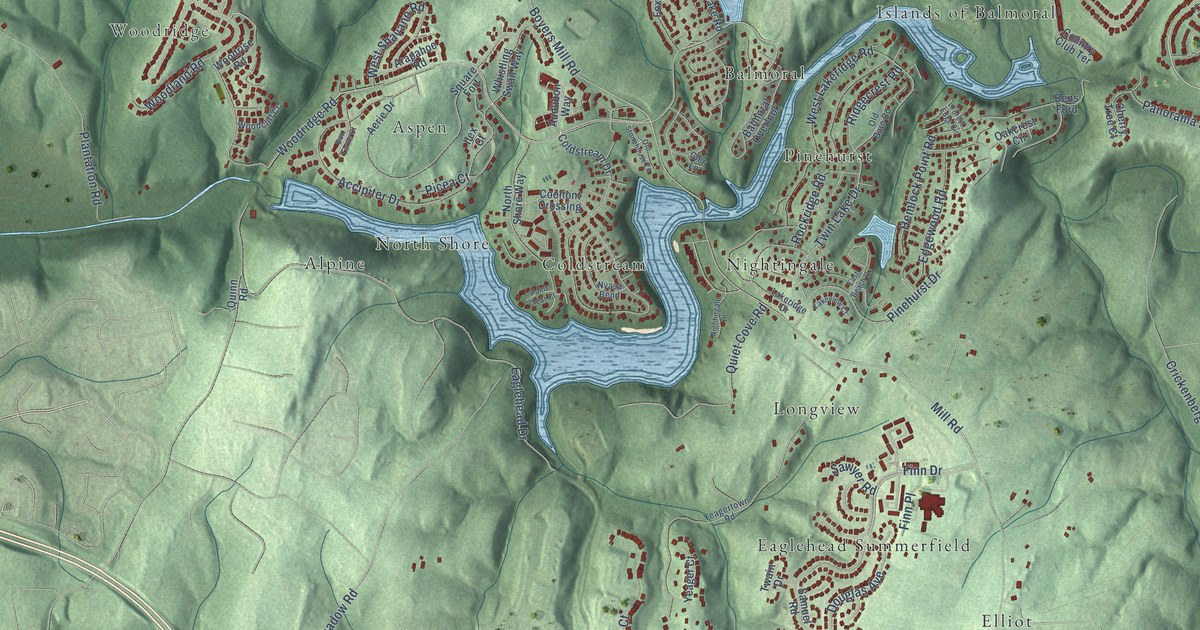
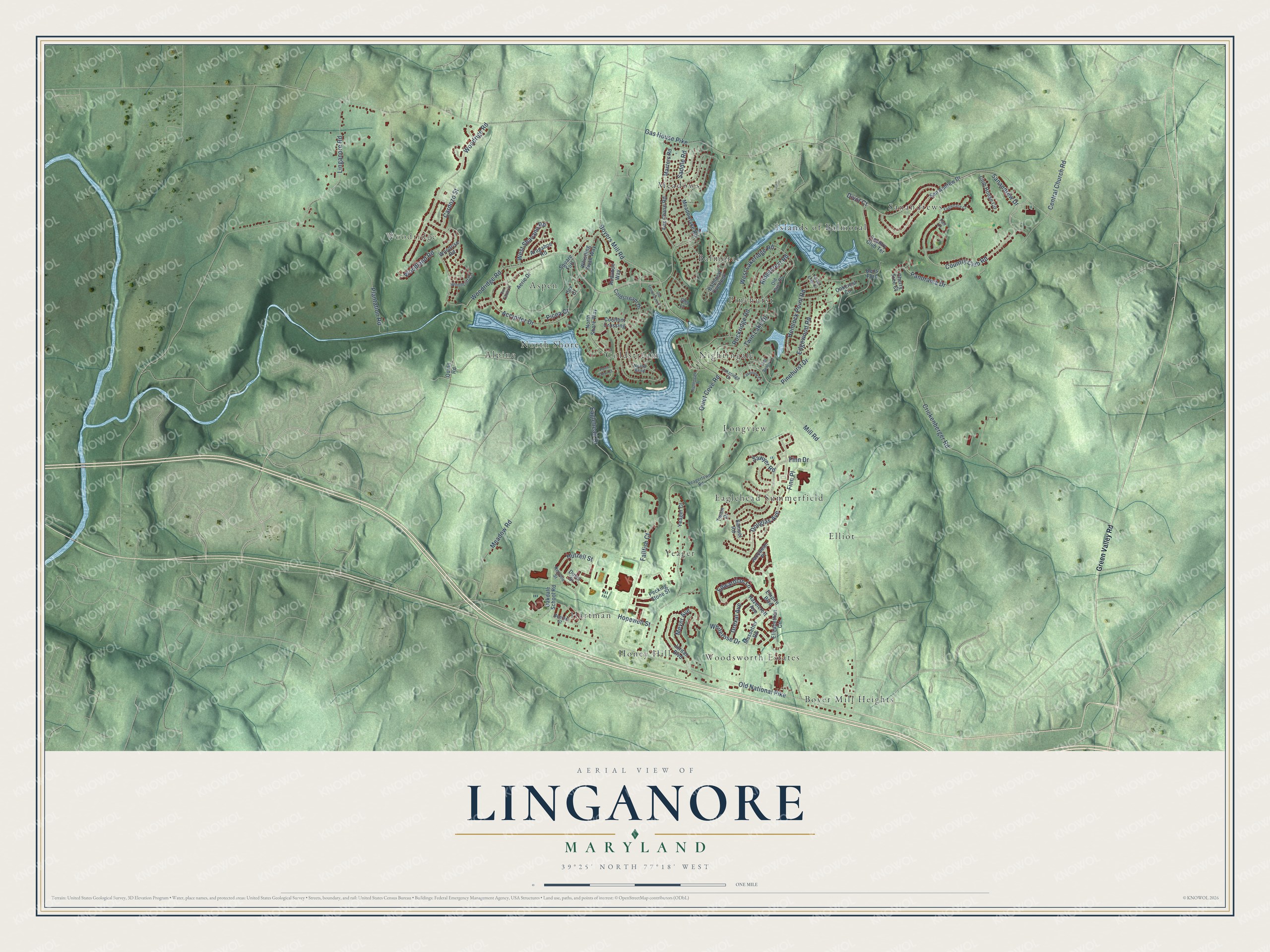
This beautifully detailed map of Linganore, Maryland was created in 2026 using aerial imagery combined with modern topographical, census, street and landmark data. It's a modern aerial view of Linganore in Frederick County, Maryland, that combines modern data with a vintage aesthetic. The roads feature printed names, and if you look closely you can find your exact house accurately shown in its correct location.
Explore an aerial view of Linganore, Maryland
On this map you'll find Woodridge, Sanandrews, Boyer Mill Heights, Pinehurst, Eaglehead Summerfield, Hartman, Yeager, Coldstream, Alpine, Meadows, Islands of Balmoral, Longview, and more. Each red shape is a building, so zoom in on the preview and look for yours.
Every town has a first chapter, and Linganore is no exception. The Lake Linganore Association puts it this way: "The Brosius Dam is a 600-foot long rock-and-earth-fill dam that impounds Lake Linganore, the largest private lake in Maryland. The dam was built for the functional purpose of holding back the water of Linganore Creek, but the original developers believed that the environment is important and it should be disturbed as little as possible."
Linganore is a community in Frederick County. The Census Bureau counted 12,351 people here in 2020.
Take a closer look at the Linganore map
Names on this map
These names are printed on this map.
Places: Woodridge, Sanandrews, Boyer Mill Heights, Pinehurst, Eaglehead Summerfield, Hartman, Yeager, Coldstream, Alpine, Meadows, Islands of Balmoral, Longview, Woodsworth Estates, Aspen, Elliot, Nightingale, Honey Hill, Balmoral and North Shore.
Streets and roads: Country Club Road, Finn Drive, Old National Pike, Mill Road, Boyers Mill Road, Central Church Road, Eaglehead Drive, Woodridge Road, West Shavano Road, Gas House Pike, Crickenberger Road, Meadow Road.
More street names, A to Z
Accipiter Drive, Aerie Drive, Arapahoe Road, Audubon Way, Balmoral Overlook, Beerse Street, Bens Ford, Box Turtle Court, Cardozo Street, Cherry Tree Court, Club House Circle, Coldstream Drive, Coolfont Crossing, Country Club Terrace, Divot Court, Douglas Avenue, Drexal Avenue, Duvel Street, Eagletrace Court, East Beach Drive, Edgewood Road, Edwardian Lane, Elizabethan Circle, Empire Boulevard, Fair Lane, Fallfish Court, Finn Place, Forest Edge Circle, Fox Chase Road, Glen Lane, Green Valley Road, Hazelcroft Avenue, Hemlock Point Road, Hopewell Street, Hutzell Street, Ilex Court, Jacobean Place, Jordan Boulevard, Lakeridge Drive, Lakeview Court, Linganore Road, Masters Road, Meadowlake Road, Meyer Avenue, Mussetter Road, Neuville Street, Nightingale Place, North Shore Way, Nyasa Bend, Oakcrest Circle, Oakdale School Road, Old Barn Road, Old Stonehouse Lane, Panorama Drive, Pecking Stone Street, Picea Court, Pinehurst Drive, Plantation Road, Point Clear Court, Quiet Cove Road, Quinn Road, Ridgecrest Road, Rockridge Road, Saddle Road, Samuel Road, Sanandrew Drive, San Andrew Drive, Sawyer Road, Square Fort, Twain Drive, Twin Lake Drive, West Lakeridge Road, Whistling Swan Way, Whiterose Drive, Woodcliff Court, Woodland Road, Woodrige Road, Woodrise Road, Yeager Court, Yeagertown Road.
See it on a wall
The Linganore map as a framed print. Swipe for more.


Created by KNOWOL in 2026. The buildings are small red shapes, the roads carry their printed names, and shaded relief shows the shape of the land. The title panel reads "AERIAL VIEW OF LINGANORE, MARYLAND" with 39°25' NORTH 77°18' WEST.
Hang it in the hallway, the office or the cabin, or give it to someone who left Linganore and still calls it home. Open the preview and look for a street you know. See sizes and frames for the Linganore map.