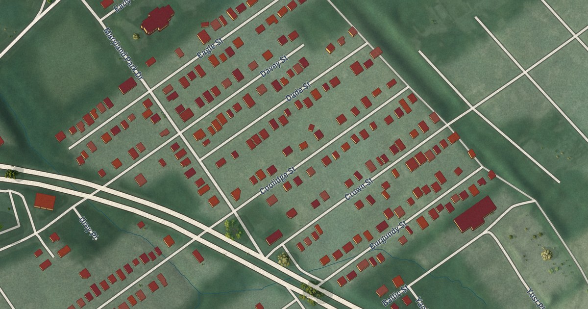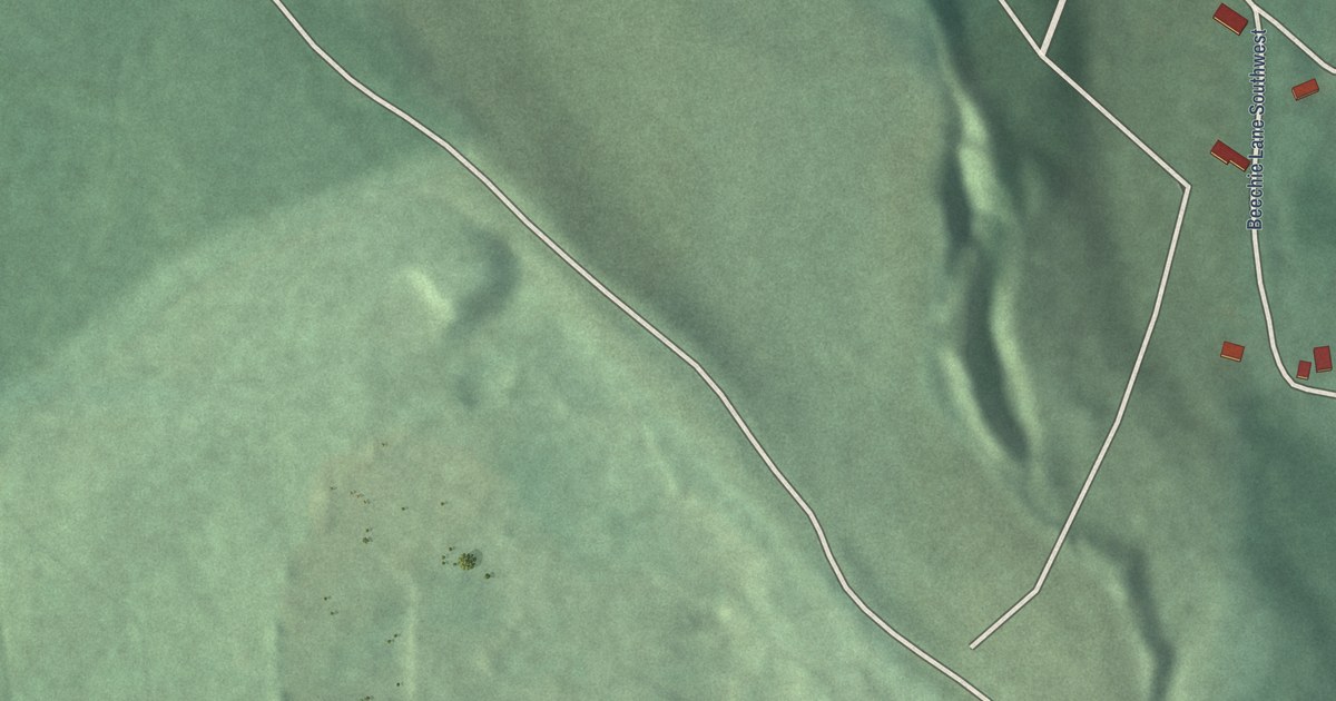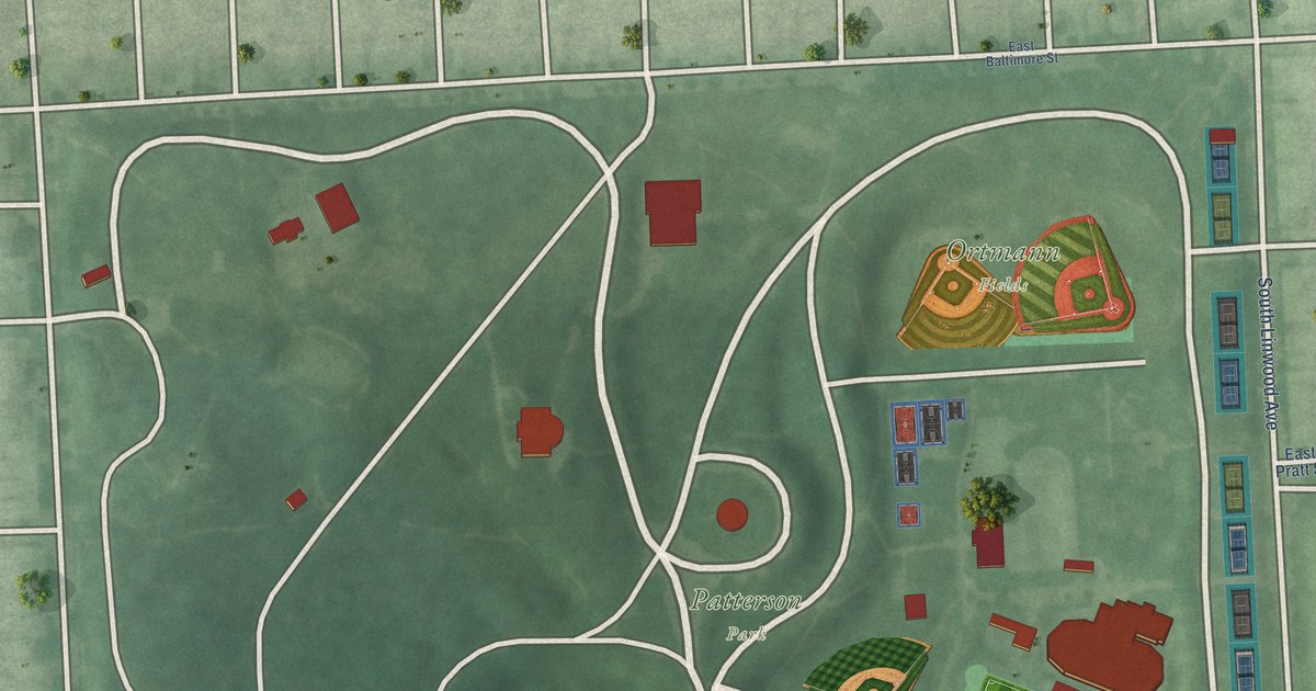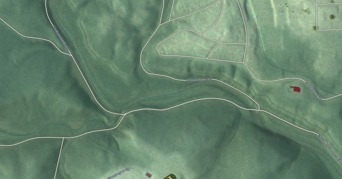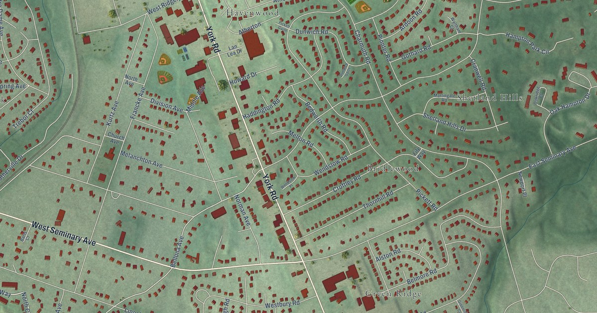
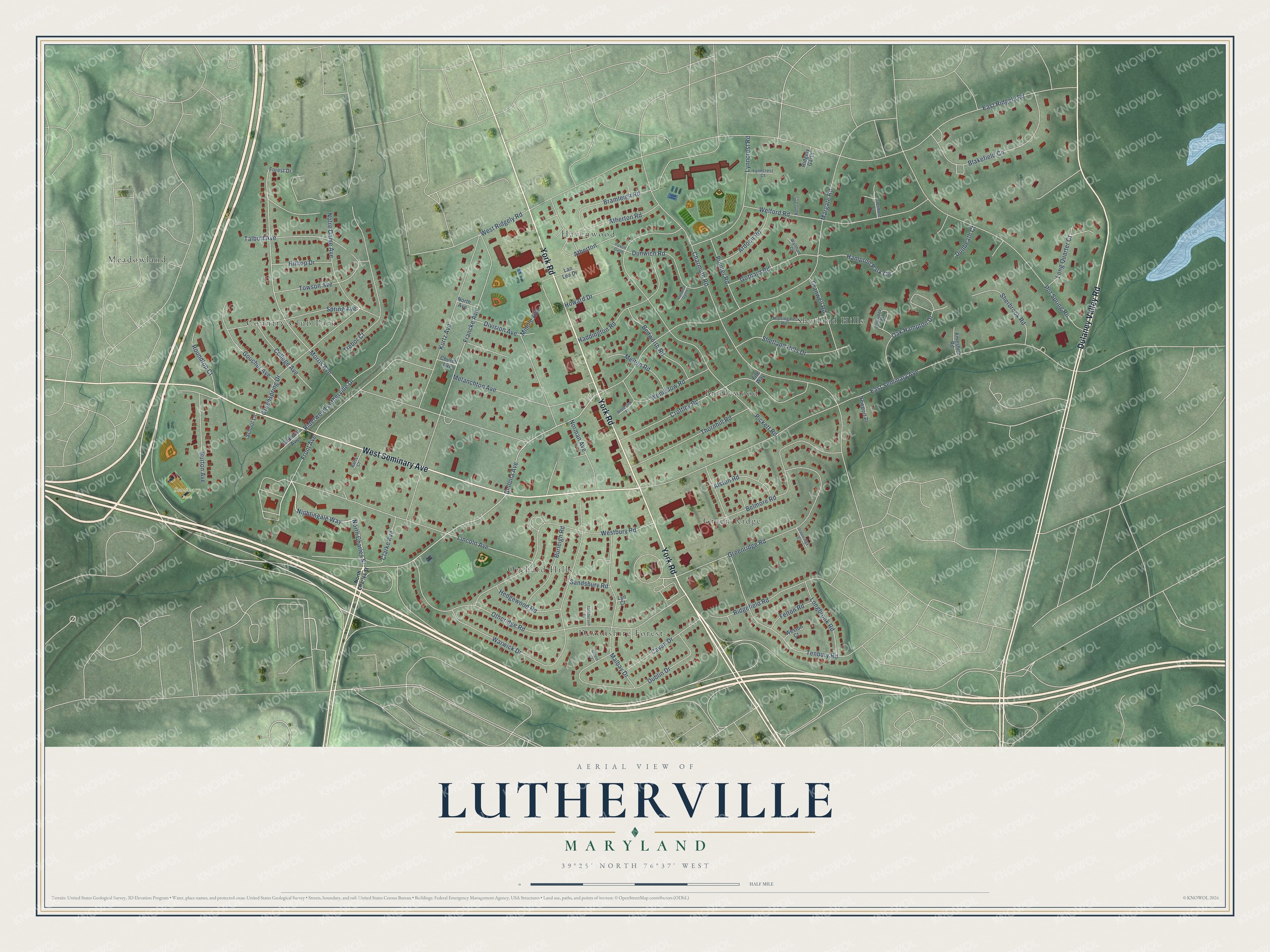
This beautifully detailed map of Lutherville, Maryland was created in 2026 using aerial imagery combined with modern topographical, census, street and landmark data. It's a modern aerial view of Lutherville in Baltimore County, Maryland, that combines modern data with a vintage aesthetic. The roads feature printed names, and if you look closely you can find your exact house accurately shown in its correct location.
Explore an aerial view of Lutherville, Maryland
On this map you'll find Seminary Park, Shetland Hills, Green Ridge, Meadowland, Havenwood, Bridlewood, Devonshire Forest, Country Club Park, Orchard Hills, York Road, West Seminary Avenue, Dulaney Valley Road, and more. Each red shape is a building, so zoom in on the preview and look for yours.
Lutherville is a community in Baltimore County. The Census Bureau counted 6,835 people here in 2020. Lutherville sits about 2 miles southwest of Timonium, 2 miles north of Towson and 3 miles southeast of Mays Chapel. The map prints the town name in its title panel, with the coordinates below it.
Take a closer look at the Lutherville map
Names on this map
These names are printed on this map.
Places: Seminary Park, Shetland Hills, Green Ridge, Meadowland, Havenwood, Bridlewood, Devonshire Forest, Country Club Park and Orchard Hills.
Streets and roads: York Road, West Seminary Avenue, Dulaney Valley Road, Nightingale Way, North Charles Street, Bellona Avenue, Morris Avenue, Front Avenue, East Ridgely Road, East Seminary Avenue, Charmuth Road, Margate Road.
More street names, A to Z
Alston Road, Ameshire Road, Ardoon Road, Atherton, Atherton Road, Barts Court, Bedworth Road, Belmore Road, Blakefield Circle, Bramleigh Road, Burleigh Road, Burton Avenue, Cavan Drive, Church Avenue, Clarke Avenue, Clermont Court, College Avenue, Cranwell Road, Croftley Road, Division Avenue, Dublin Court, Dublin Drive, Dunbeath Court, Dunwich Garth, Dunwich Road, Felton Road, Fife Way, Forest Drive, Francke Avenue, Gothard Road, Goucher Avenue, Greenridge Court, Greenridge Road, Greenspring Drive, Haddington Road, Hampton Park Circle, Hedgewood Road, Hilltop Drive, Howard Drive, Kurtz Avenue, Lan Lea Drive, Lincoln Avenue, Longbrook Road, Long Quarter Court, Lyn Court, Lynncrest Court, Lynncrest Road, Malbay Drive, Martingale Road, McPherson Court, Melanchton Avenue, Melton Road, Middle Avenue, Newport Place, Norman Avenue, North Avenue, Notre Dame Avenue, Oak Hampton Drive, Oakridge Court, Othoridge Road, Pickett Garth, Pickett Road, Pinnter Road, Pot Spring Road, Railroad Avenue, Riderwood Lutherville Drive, Ridgefield Road, Ridgely Garth, Roundtop Court, Sandsbury Road, School Lane, Sherbrook Road, Shetland Hills Drive, Spring Avenue, Talbott Avenue, Tenbury Road, Thornhill Road, Towson Avenue, Trebor Court, Waltham Court, Warwick Drive, Welford Court, Welford Road, Wendslow Place, Wendslow Road, Westbury Road, Weston Court, West Ridgely Road.
See it on a wall
The Lutherville map as a framed print. Swipe for more.


Created by KNOWOL in 2026. The buildings are small red shapes, the roads carry their printed names, and shaded relief shows the shape of the land. The title panel reads "AERIAL VIEW OF LUTHERVILLE, MARYLAND" with 39°25' NORTH 76°37' WEST.
It suits a den, a classroom or a front hall, and it makes a gift for anyone with Lutherville roots. Open the preview and find the block you know. See sizes and frames for the Lutherville map.