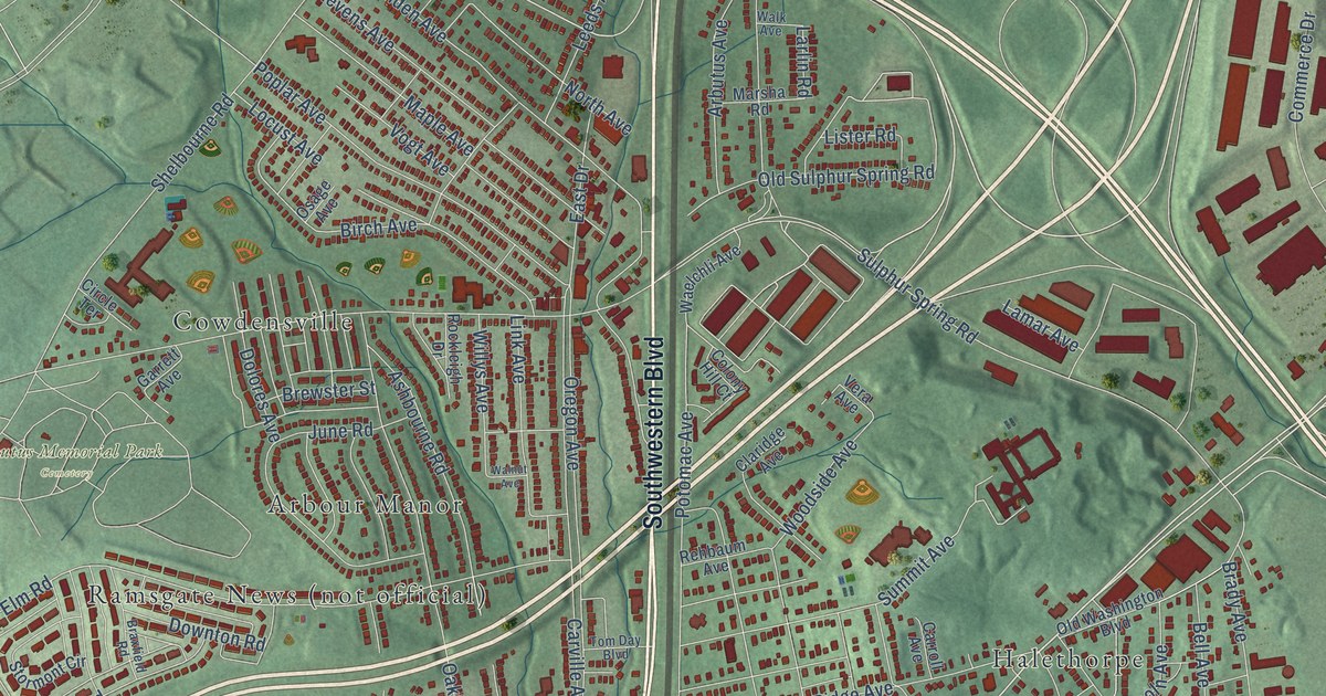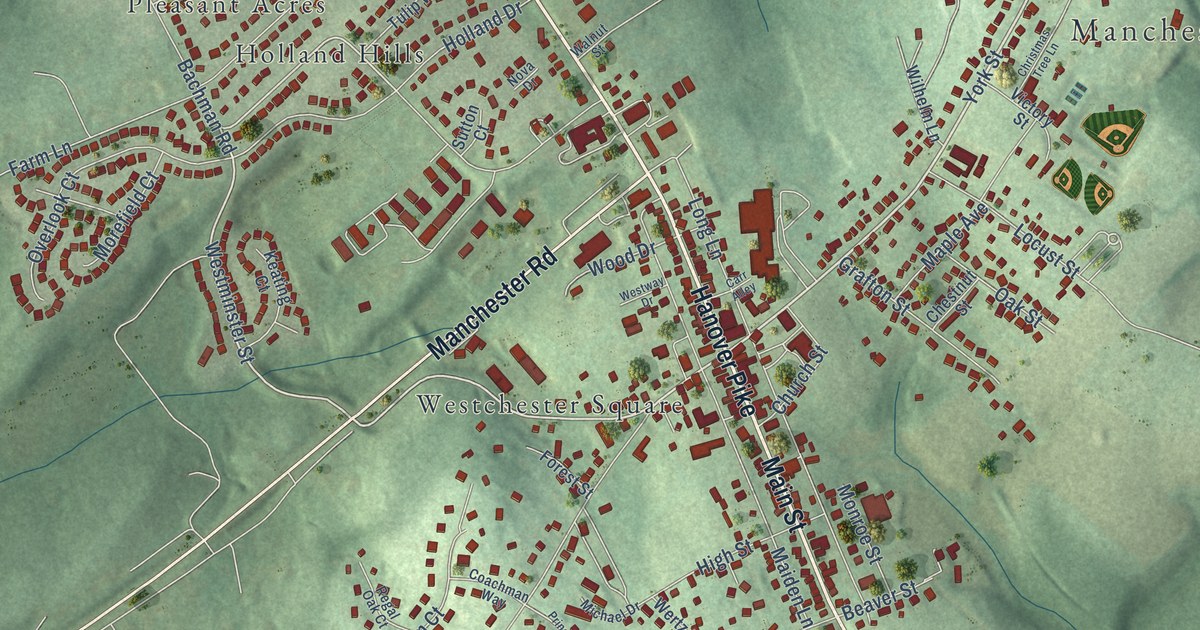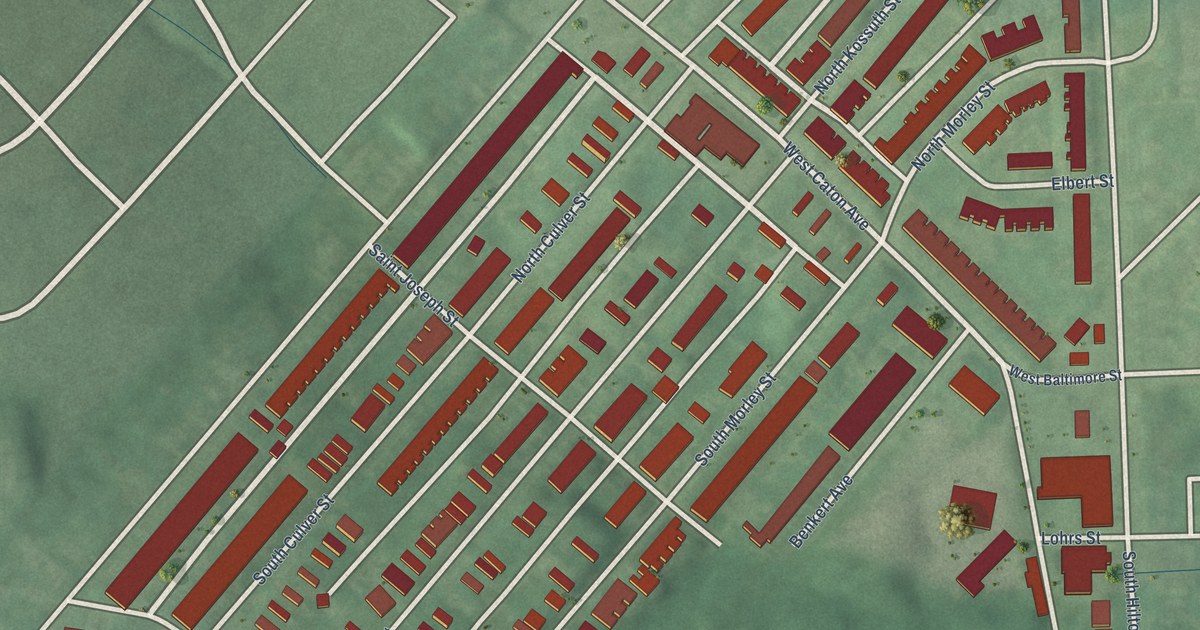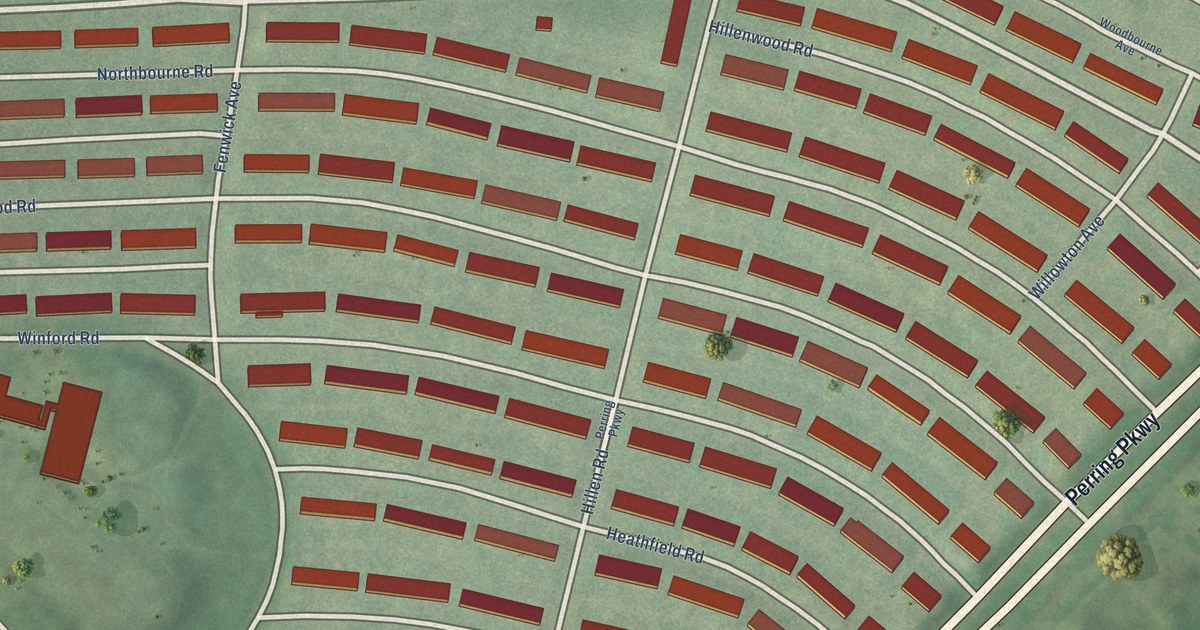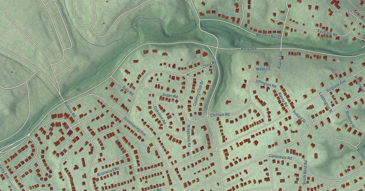
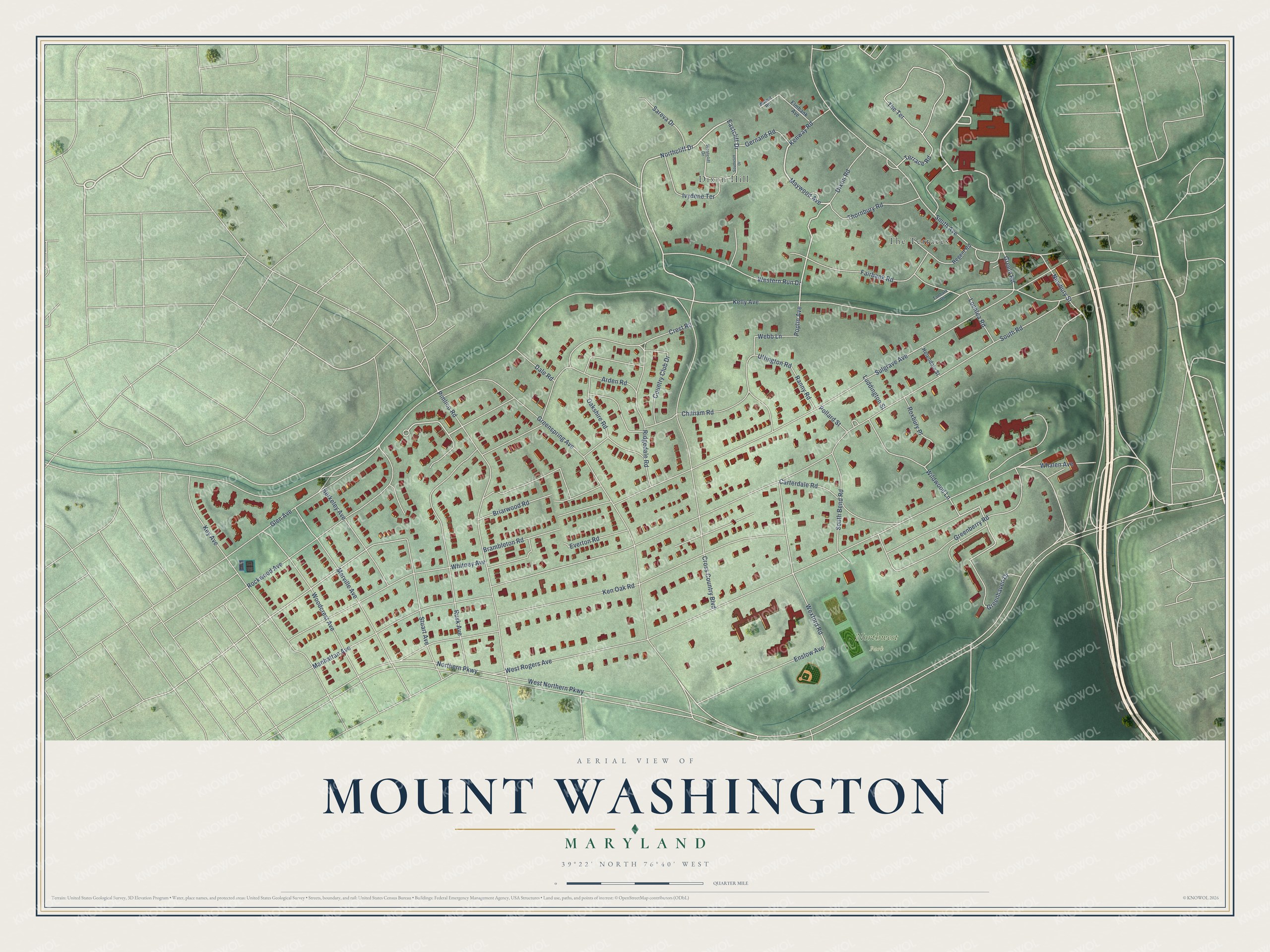
This beautifully detailed map of Mount Washington, Maryland was created in 2026 using aerial imagery combined with modern topographical, census, street and landmark data. It's a modern aerial view of Mount Washington in Baltimore City, Maryland, that combines modern data with a vintage aesthetic. The roads feature printed names, and if you look closely you can find your exact house accurately shown in its correct location.
Explore an aerial view of Mount Washington, Maryland
On this map you'll find Northwest Park, Dixon Hill, The Terraces, Maywood Avenue, Northcliff Drive, Poplin Avenue, Eastcliff Drive, Greenspring Avenue, Sulgrave Avenue, Greely Road, Wexford Road, West Rogers Avenue, and more. Each red shape is a building, so zoom in on the preview and look for yours.
Mount Washington has a story worth telling. The record at services.arcgis.com puts it this way: "First Boy Scout Armory On this site, May 20, 1911, Ernest Thompson Seton, founder of the Boy Scouts of America, laid the cornerstone of the first Boy Scout Drill Armory in the United States, and 30 acres of land were presented to the Mount Washington Boy Scouts for park and parade ground purposes."
Mount Washington is a neighborhood in Baltimore City.
Take a closer look at the Mount Washington map
Names on this map
These names are printed on this map.
Places: Northwest Park, Dixon Hill and The Terraces.
Streets and roads: Maywood Avenue, Northcliff Drive, Poplin Avenue, Eastcliff Drive, Greenspring Avenue, Sulgrave Avenue, Greely Road, Wexford Road, West Rogers Avenue, West Northern Parkway, Cross Country Boulevard, South Road.
More street names, A to Z
Arden Road, Berkeley Avenue, Brambleton Road, Briarwood Road, Carterdale Road, Chilham Road, Country Club Drive, Crest Road, Dale Road, Dixon Road, Elmbank Avenue, Enslow Avenue, Everton Road, Fairbank Road, Gernand Road, Glen Avenue, Greenberry Road, Greenhaven Drive, Helendale Street, Ivydene Terrace, Kelly Avenue, Ken Oak Road, Kenway Road, Key Avenue, Lochlea Road, Luddington Street, Manhattan Avenue, Merville Avenue, Newbury Street, Northern Parkway, Oakshire Road, Pimlico Road, Pollard Street, Ranny Road, Regent Road, Ridgedale Road, Rockwood Avenue, Roxbury Place, Rusk Avenue, Sareva Drive, Smith Avenue, South Bend Road, Southcliff Drive, Stuart Avenue, Tanbark Drive, Terrace Road, The Terrace, Thornbury Road, Uffington Road, Walnut Road, Webb Lane, Westcliff Drive, Western Run Drive, Whalen Avenue, Whitney Avenue, Wildwood Lane, Woodcrest Avenue.
Created by KNOWOL in 2026. The buildings are small red shapes, the roads carry their printed names, and shaded relief shows the shape of the land. The title panel reads "AERIAL VIEW OF MOUNT WASHINGTON MARYLAND" with 39°22' NORTH 76°40' WEST.
It looks right in a kitchen, an office or a den, and it's a gift for anyone who grew up in Mount Washington or moved away. Open the preview and find your street. See sizes and frames for the Mount Washington map.