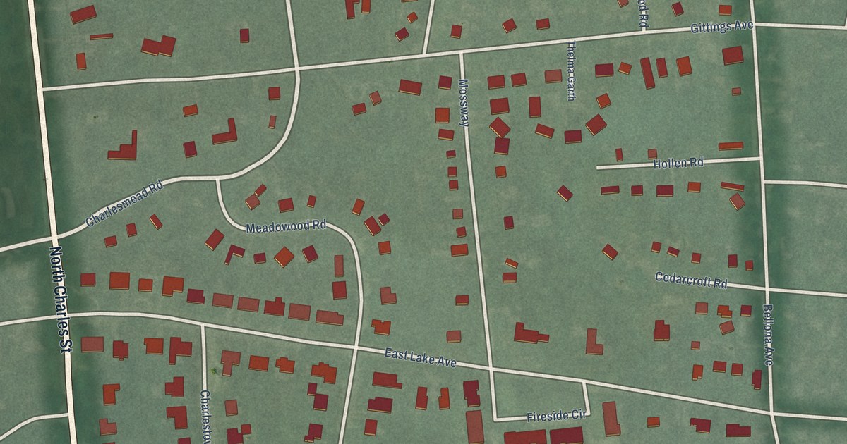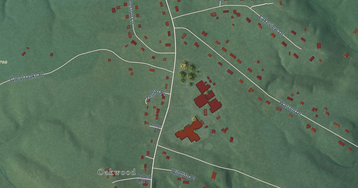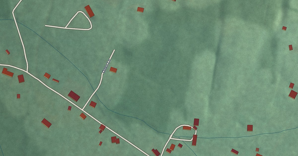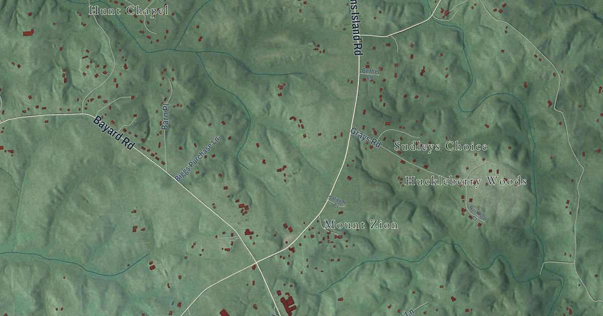
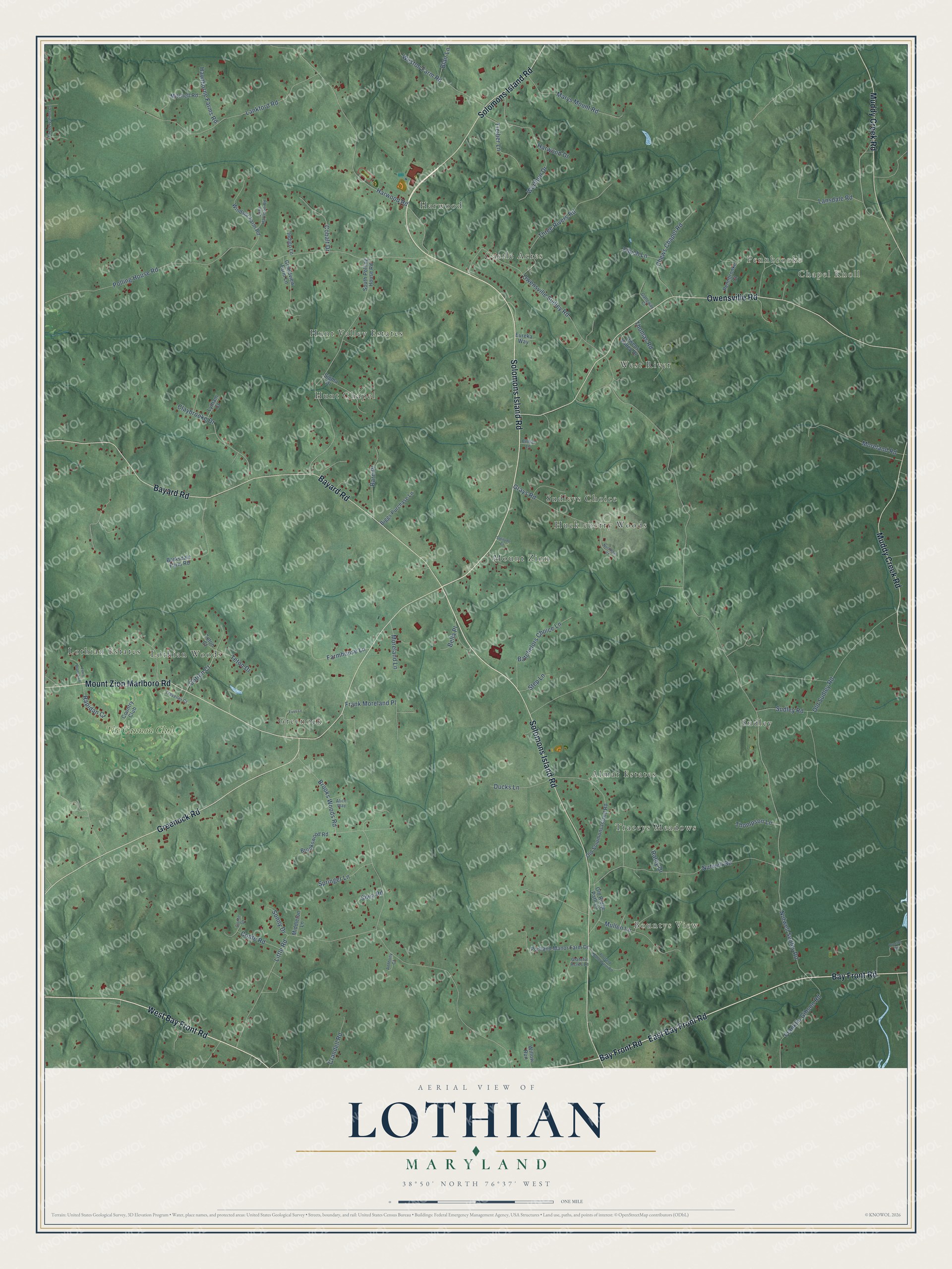
This beautifully detailed map of Lothian, Maryland was created in 2026 using aerial imagery combined with modern topographical, census, street and landmark data. It’s a one-of-a-kind view of Lothian that combines accurate data with a vintage aesthetic. The map shows every building in its true location, many of the roads carry their names, and the shaded topographic relief shows the shape of the land.
Explore an aerial view of Lothian, Maryland
On the map you’ll find Chapel Knoll, Bountys View, Pennbrooke, Hunt Chapel, Sudley, Lothian Woods, Harwood, Huckleberry Woods, Almar Estates, West River, Mount Zion, Greenock, and more. If you look closely you can even find your house accurately drawn in its correct location. Zoom in on the preview to look for yours.
Take a closer look at the Lothian map
Names on this map
These names are printed on this map.
Places: Chapel Knoll, Bountys View, Pennbrooke, Hunt Chapel, Sudley, Lothian Woods, Harwood, Huckleberry Woods, Almar Estates, West River, Mount Zion, Greenock, Hunt Valley Estates, Traceys Meadows, Castle Acres, Sudleys Choice, Lothian Estates and The Cannon Club.
Streets and roads: West Bay Front Road, Bay Front Road, Solomons Island Road, Mount Zion Marlboro Road, Bayard Road, Owensville Road, Muddy Creek Road, East Bay Front Road, Greenock Road, Lansdale Road, Cotton Court, Nutwell Sudley Road.
More street names, A to Z
Alice Way, Anthony Court, Barksdale Farm Road, Barn Place, Batchelors Choice Lane, Bella Place, Bethel Lane, Biggs Purchase Lane, Blair Lane, Brookswood Road, Brooks Woods Road, Chews Chapel Road, Claybrooke Drive, Cobalt Drive, Conte Drive, Conte Road, Country Club, Crandell Road, Ducks Lane, Eureka Way, Farmhouse Lane, Ferry Branch Lane, Fibich Lane, Franklin Gibson Road, Frank Moreland Place, Fuss Lane, Galloway Court, Grandview Farm Lane, Grateful Acres Lane, Grays Road, Harwood Drive, Harwood Road, Hawthorne Farms Road, Indigo Lane, John Harrison Road, Lankford Road, Little Road, Lytham Court, Marys Mount Road, Middleton Lane, Mitchell Road, Moreland Lane, Moreland Road, Mullen Lane, Northstar Court, Nutwell Road, Old Ridge Path Lane, Old Solomons Island Road, Old Sudley Road, Owens Valley Drive, Owensville Sudley Road, Pennbrooke Court, Polling House Road, Portland Manor Farm Drive, Portland Manor Farm Road, Preservation Lane, Proctor Road, Raley Drive, Rapidan Court, Shea Road, Sigma Drive, Solitude Court, Sonny Drive, South Polling House Road, Springer Lane, Step Lane, Sudley Road, Teton Court, Teton Drive, Thomas Road, Thompson Lane, Three Rivers Road, Traveller Court, Treiber Lane, Warthen Drive, Weston Farm Road, Willow Run, Windsor Farm Road.
See it on a wall
The Lothian map as a framed print. Swipe for more.


This beautifully detailed map of Lothian makes an attractive addition to your office, library, or den, and it can even be used to teach children the geography and history of the area. It also makes a great gift for anyone who grew up in Lothian or moved away. When you’re done exploring, click here to get your copy of the Lothian map.