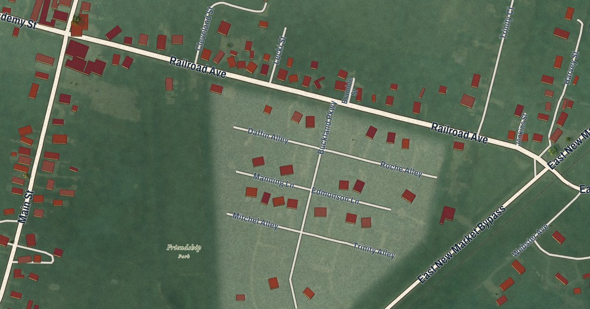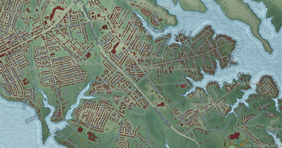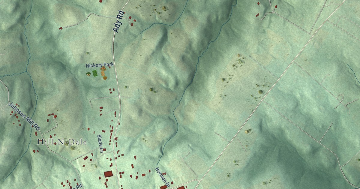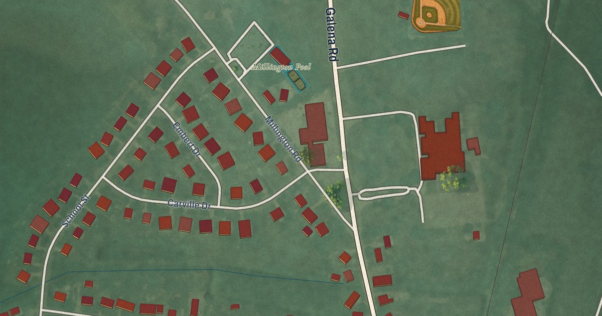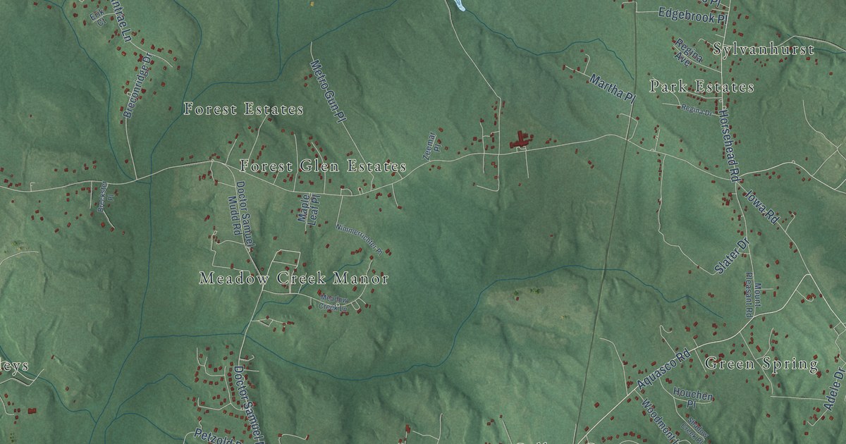
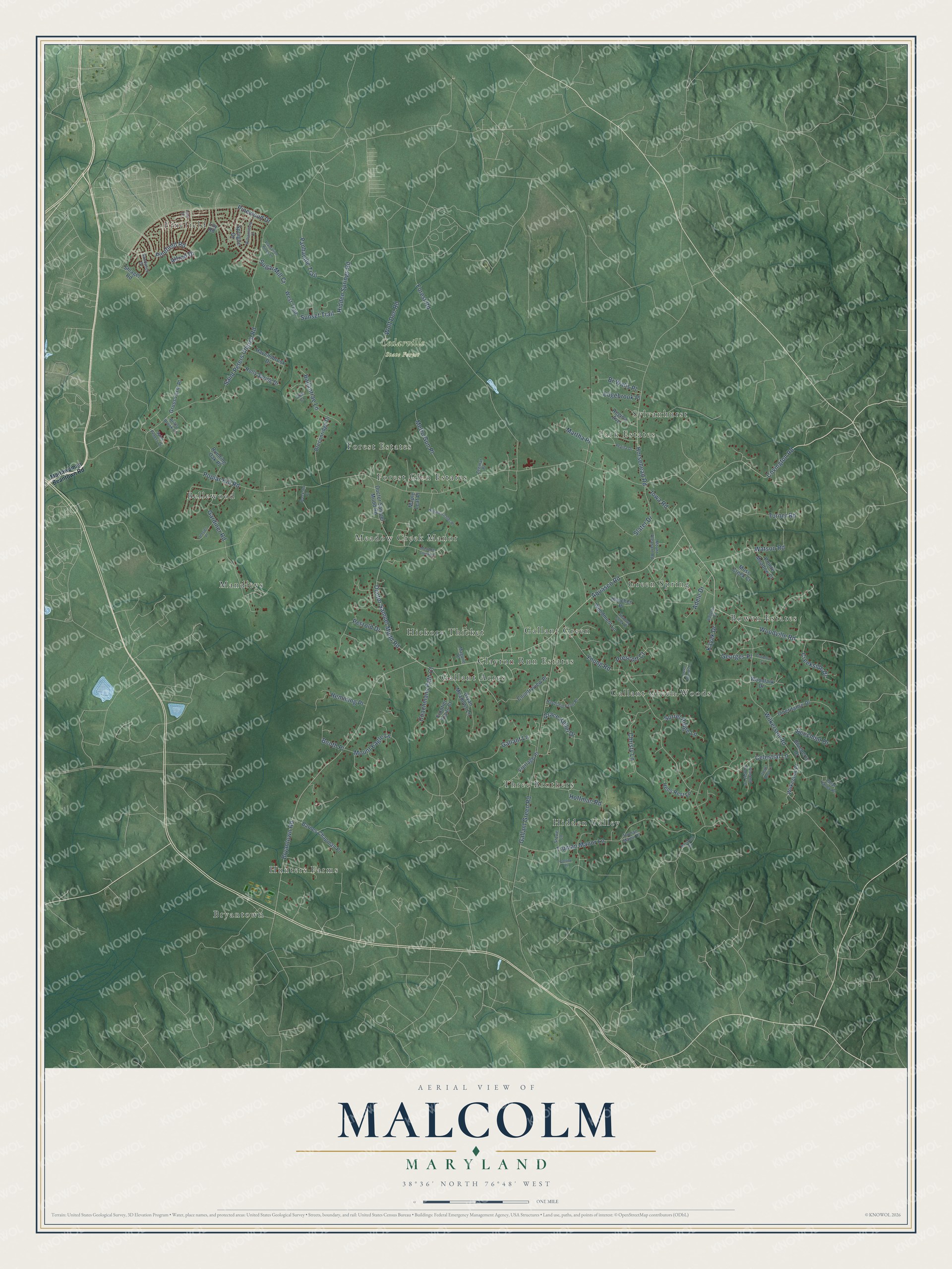
This beautifully detailed map of Malcolm, Maryland was created in 2026 using aerial imagery combined with modern topographical, census, street and landmark data. It’s a one-of-a-kind view of Malcolm that combines accurate data with a vintage aesthetic. The map shows every building in its true location, many of the roads carry their names, and the shaded topographic relief shows the shape of the land.
Explore an aerial view of Malcolm, Maryland
On the map you’ll find Cedarville State Forest, Bryantown, Mandleys, Gallant Green Woods, Hidden Valley, Sylvanhurst, Meadow Creek Manor, Bowen Estates, Pinefield, Gallant Acres, Bellewood, Forest Glen Estates, and more. If you look closely you can even find your house accurately drawn in its correct location. Zoom in on the preview to look for yours.
Take a closer look at the Malcolm map
Names on this map
These names are printed on this map.
Places: Cedarville State Forest, Bryantown, Mandleys, Gallant Green Woods, Hidden Valley, Sylvanhurst, Meadow Creek Manor, Bowen Estates, Pinefield, Gallant Acres, Bellewood, Forest Glen Estates, Green Spring, Gallant Green, Hunters Farms, Clayton Run Estates, Park Estates, Three Brothers, Forest Estates and Hickory Thicket.
Streets and roads: Celestial Lane, Doctor Samuel Mudd Road, Aquasco Road, Woodville Road, Bryantown Road, Panhandle Trail, Poplar Hill Road, Saint Peters Church Road, Wilkerson Road, Gallant Green Road, Truman Manor Lane, Young Road.
More street names, A to Z
Adele Drive, Alfred Drive, Almond Sunset Lane, Ballantrae Lane, Ballards Place, Barnes Chapman Place, Bassford Road, Beechnut Drive, Blueberry Drive, Booth Place, Breckster Place, Breconridge Drive, Britts Brook Lane, Br Walls Place, Bryan Meadows Lane, Christy Lane, Clear Valley Place, Coachmans Path Court, Colony Place, Countryview Place, Covington Road, Creekside Drive, Crowfoot Court, Edgebrook Place, Erik Court, Flerlage Place, Forest Road, Frontier Trails Court, Gallant Lane, Gardiner Road, Georges Place, Ginger Root Lane, Grace Keller Drive, Green Woods Lane, Gruss Farm Place, Hardship Farm Place, Havensbrook Drive, Hemming Place, Hens Rest Lane, Hidden Springs Road, Hoffman Road, Holly Spring Drive, Horsehead Road, Houchen Place, Inheritance Drive, Iowa Road, Jessies Place, Kayak Drive, Loy Road, Lucy Drive, Maguire Place, Maple Leaf Place, Martha Place, Mattawoman Beantown Road, Meadow Creek Lane, Metro Gun Place, Moss Creek Court, Mount Eagle Lane, Mount Pleasant Road, Nimmerrichter Place, Petzold Drive, Pinefield Road, Pinewood Drive, Plantation Pines Lane, Pointe Meadow Court, Prescott Court, Regina Avenue, Regina Drive, Running Oak Place, Saint Peters Drive, Sandwich Drive, Shadow Creek Place, Shlagel Road, Slater Drive, Sorrel Ridge Lane, Sprague Drive, Stowe Lane, Sugar Mill Court, Sunset Trail, Truman Manor Place, Turner Road, Watson Road, West Trail, Wilkerson Place, Williamsburg Drive, Wolf Den Road, Woodlark Drive, Woodmont Lane, Zeemar Place.
See it on a wall
The Malcolm map as a framed print. Swipe for more.


This beautifully detailed map of Malcolm makes an attractive addition to your office, library, or den, and it can even be used to teach children the geography and history of the area. It also makes a great gift for someone who left Malcolm and still calls it home. When you’re done exploring, click here to get your copy of the Malcolm map.