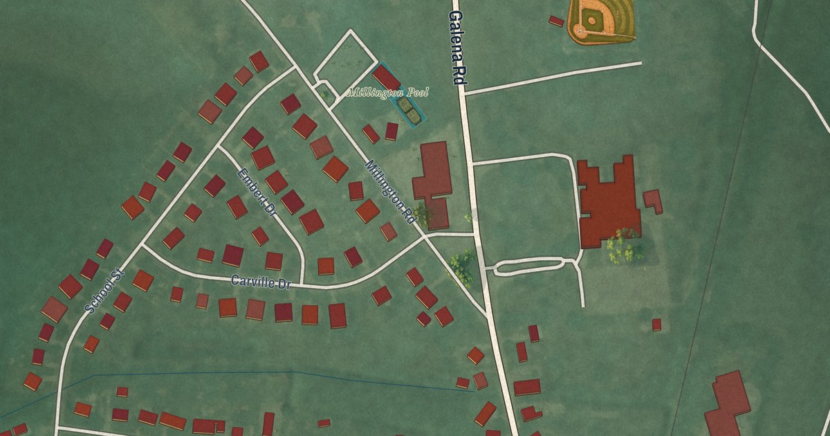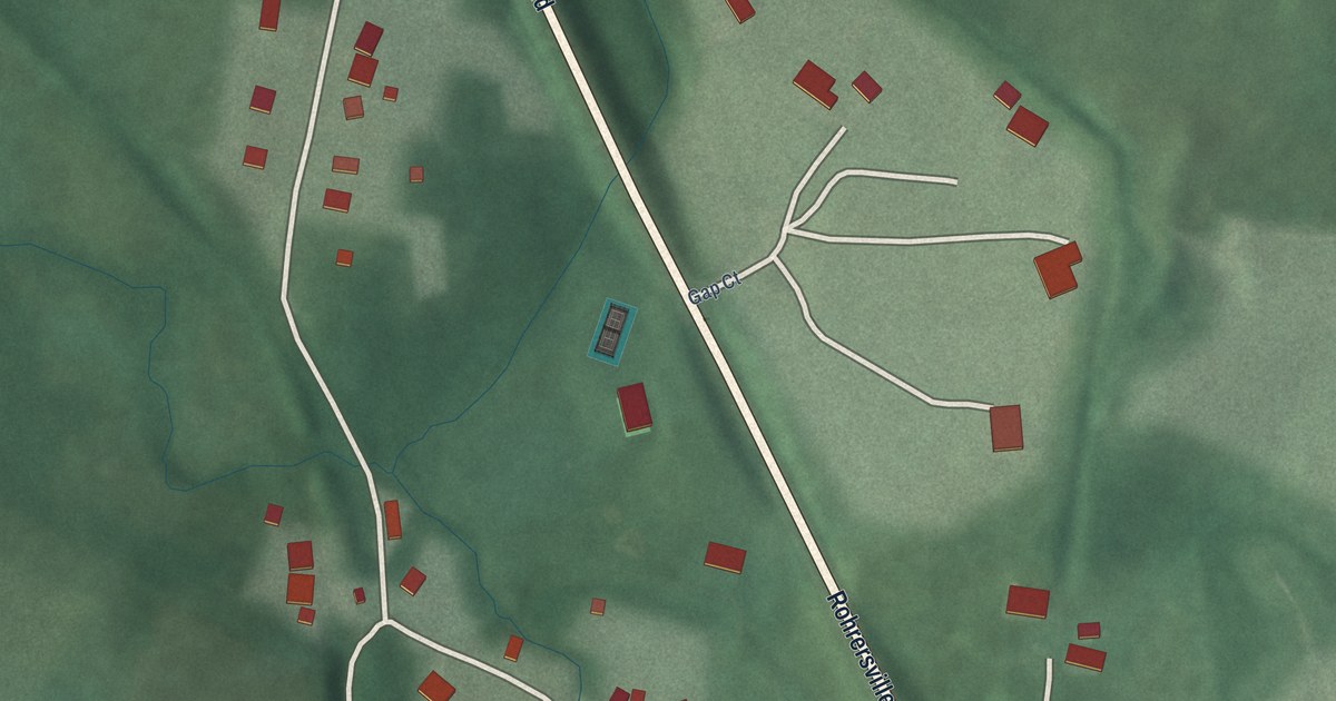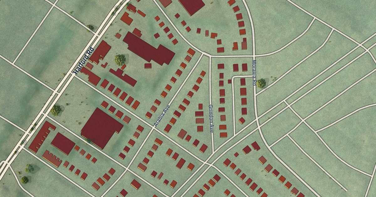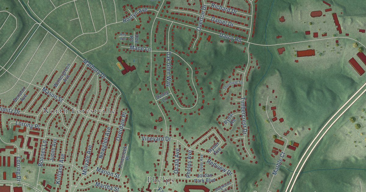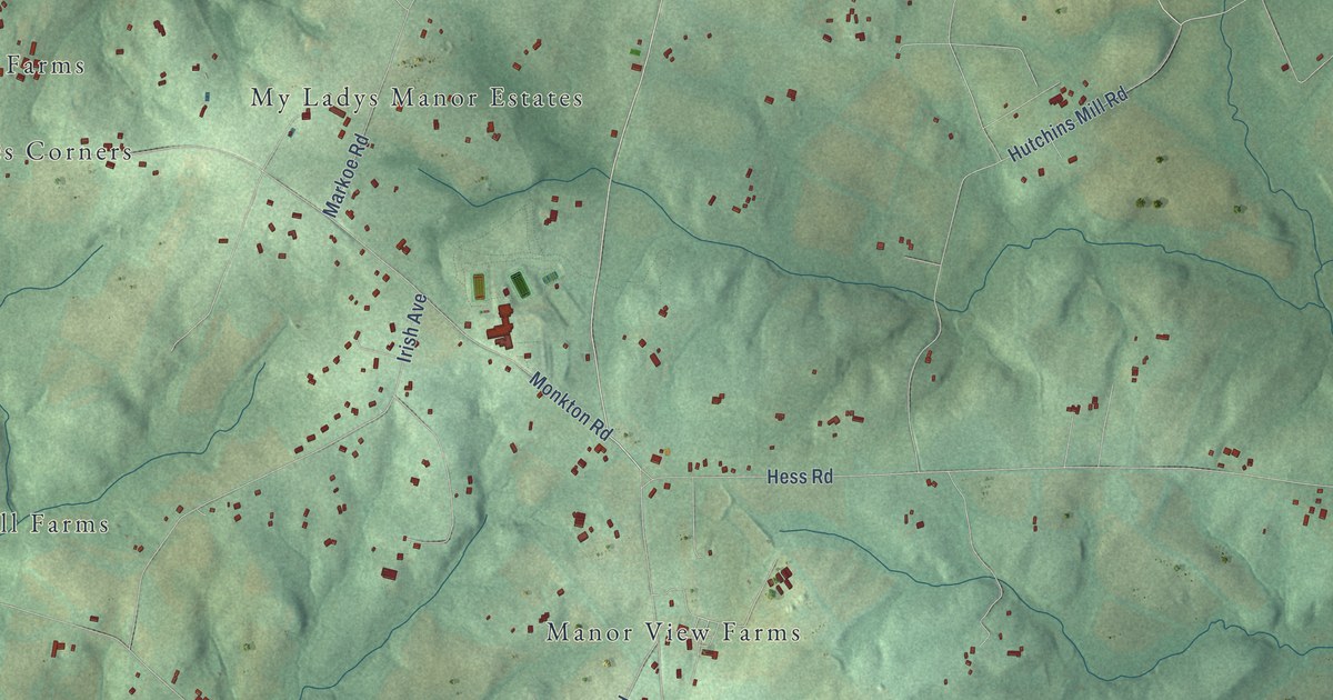
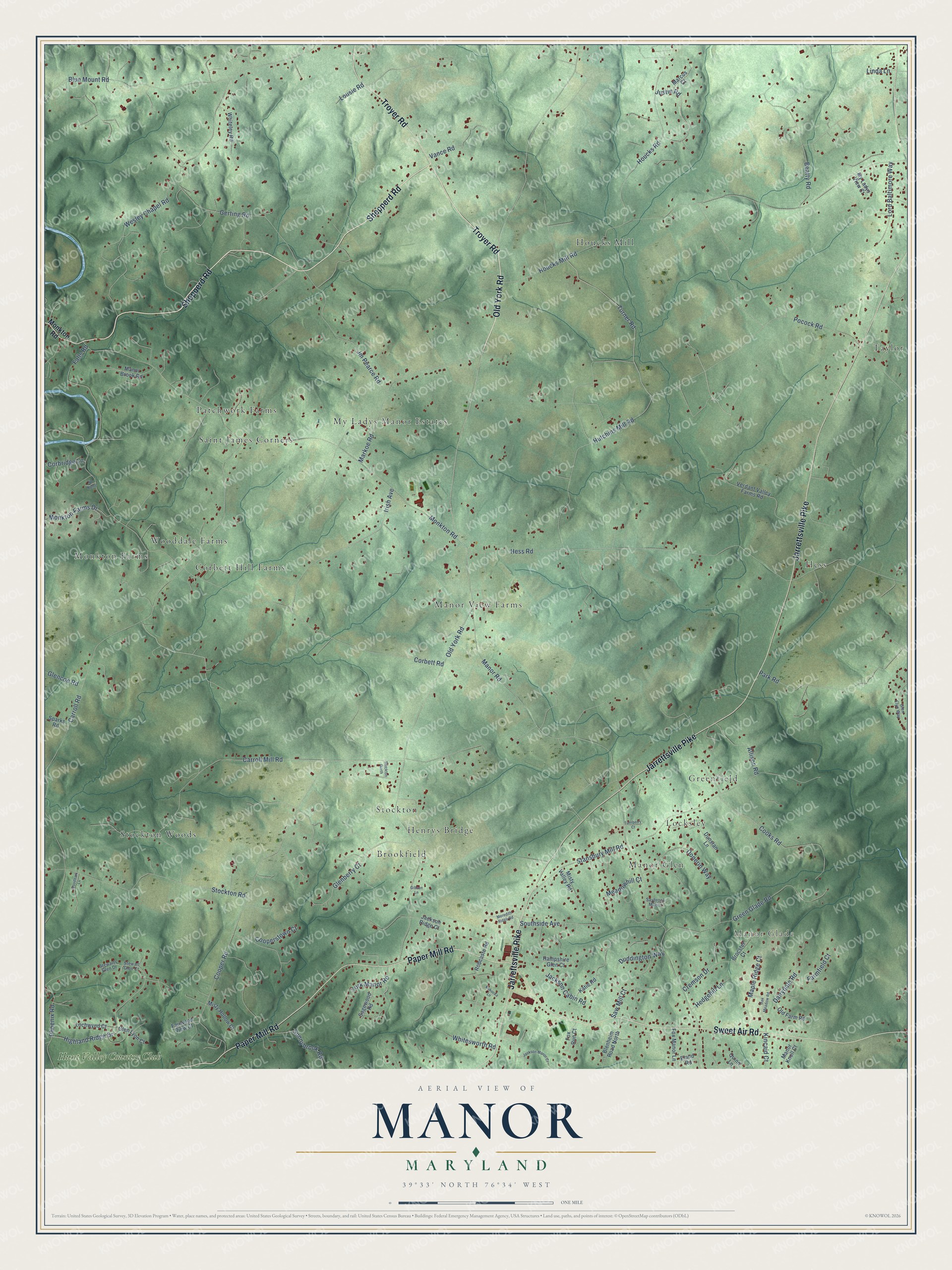
This beautifully detailed map of Manor, Maryland was created in 2026 using aerial imagery combined with modern topographical, census, street and landmark data. It’s a one-of-a-kind view of Manor that combines accurate data with a vintage aesthetic. The map shows every building in its true location, many of the roads carry their names, and the shaded topographic relief shows the shape of the land.
Explore an aerial view of Manor, Maryland
On the map you’ll find Manor Glade, Patchwork Farms, Houcks Mill, Monkton Farms, Hess, Stockton Woods, Stockton, Manor View Farms, Greenfield, Taylor, My Ladys Manor Estates, Wooddale Farms, and more. If you look closely you can even find your house accurately drawn in its correct location. Zoom in on the preview to look for yours.
Take a closer look at the Manor map
Names on this map
These names are printed on this map.
Places: Manor Glade, Patchwork Farms, Houcks Mill, Monkton Farms, Hess, Stockton Woods, Stockton, Manor View Farms, Greenfield, Taylor, My Ladys Manor Estates, Wooddale Farms, Locksley, Brookfield, Manor Glen, Corbett Hill Farms, Saint James Corners, Henrys Bridge and Hunt Valley Country Club.
Streets and roads: Shepperd Road, Old York Road, Jarrettsville Pike, Sweet Air Road, Paper Mill Road, Troyer Road, Pocock Road, Turner Road, Manor Road, Carroll Road, Corbett Road, Hess Road.
More street names, A to Z
Allison Road, Beatty Road, Blenheim Road North, Blue Mount Road, Brocster Court, Carroll Mill Road, Cooks Road, Cooper Road, Cooperstown Court, Corbridge Lane, Cremson Drive, Dairydale Road, Donerin Way, Duddington Way, Dunstan Lane, Eland Road, Fairwood View Court, Falls Road, Farmfield Court, Fox Manor Lane, Fox Run Court, Gerting Road, Gibson Lane, Glenberry Court, Glencoe Road, Glen Elyn Way, Glen Lyon Court, Green Glade Road, Hampshire Glen Court, Hedgehill Lane, Highland Ridge Drive, Houcks Mill Road, Houcks Road, Hutchins Mill Road, Irish Avenue, Jackson Cabin Road, Jackson Manor Court, Jackson Ridge Court, Jm Pearce Road, Justin Road, Katie Road, Kincaid Court, Kukucka Lane, Linda Lane, Lochwynd Court, Lord Baltimore Way, Lousie Road, Manor Brook Road, Manor Knoll Court, Maple Ridge Court, Marcus Court, Markoe Road, Meadowhill Court, Meredith Ridge Road, Misty Hollow Court, Misty Valley Road, Monkton Farms Drive, Monkton Road, My Ladys View Court, N0 Name, Oak Meadow Road, Old Farm Road, Park Road, Phoenix Road, Quinn Lane, Robcaste Road, Sagewood Road, Saw Mill Court, Saybrook Manor, Southside Avenue, Sparks Road, Stansbury Mill Road, Stewart Glen Court, Stewarts Glen Drive, Stockton Garth, Stockton Road, Sunnybrook Road, Turnberry Court, Vance Road, Verdant Valley Farms Road, Wesley Chapel Road, Whiteley Road, Whitesworth Road, Woodbark Lane, York Manor Road.
See it on a wall
The Manor map as a framed print. Swipe for more.


This beautifully detailed map of Manor makes an attractive addition to your office, library, or den, and it can even be used to teach children the geography and history of the area. It also makes a great gift for anyone who grew up in Manor or moved away. When you’re done exploring, click here to get your copy of the Manor map.