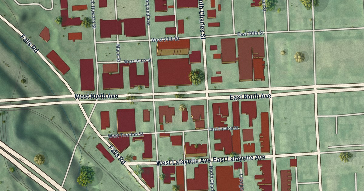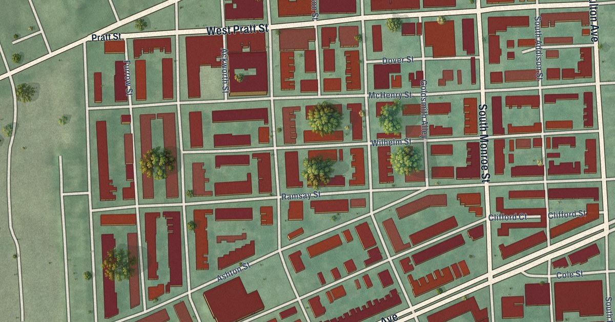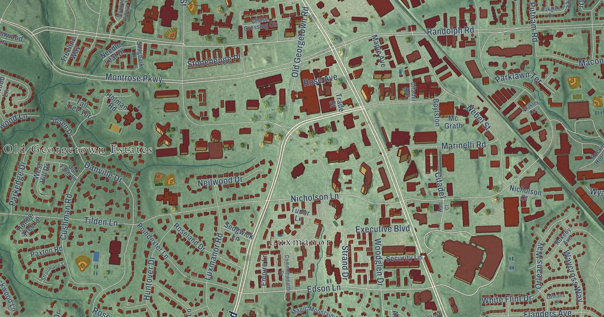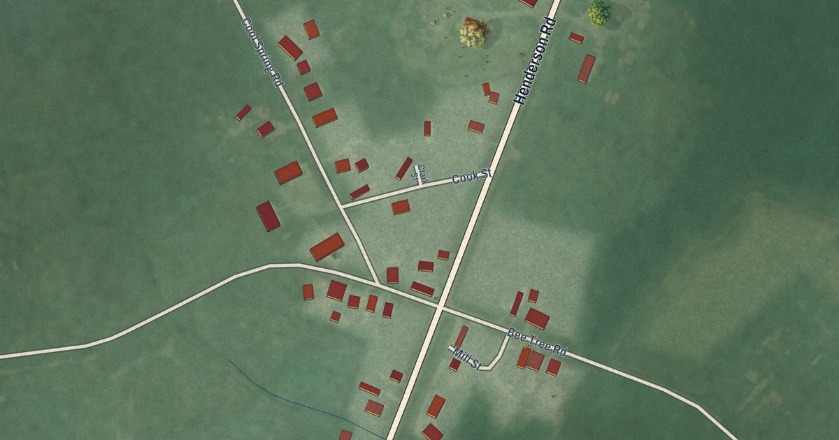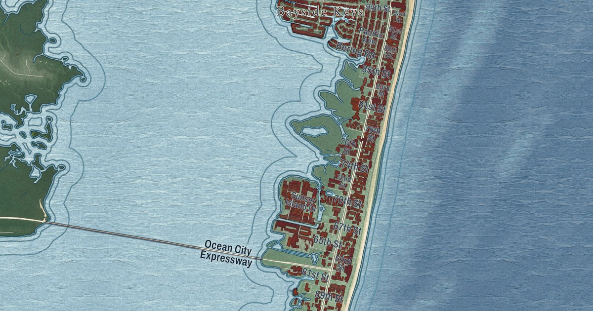
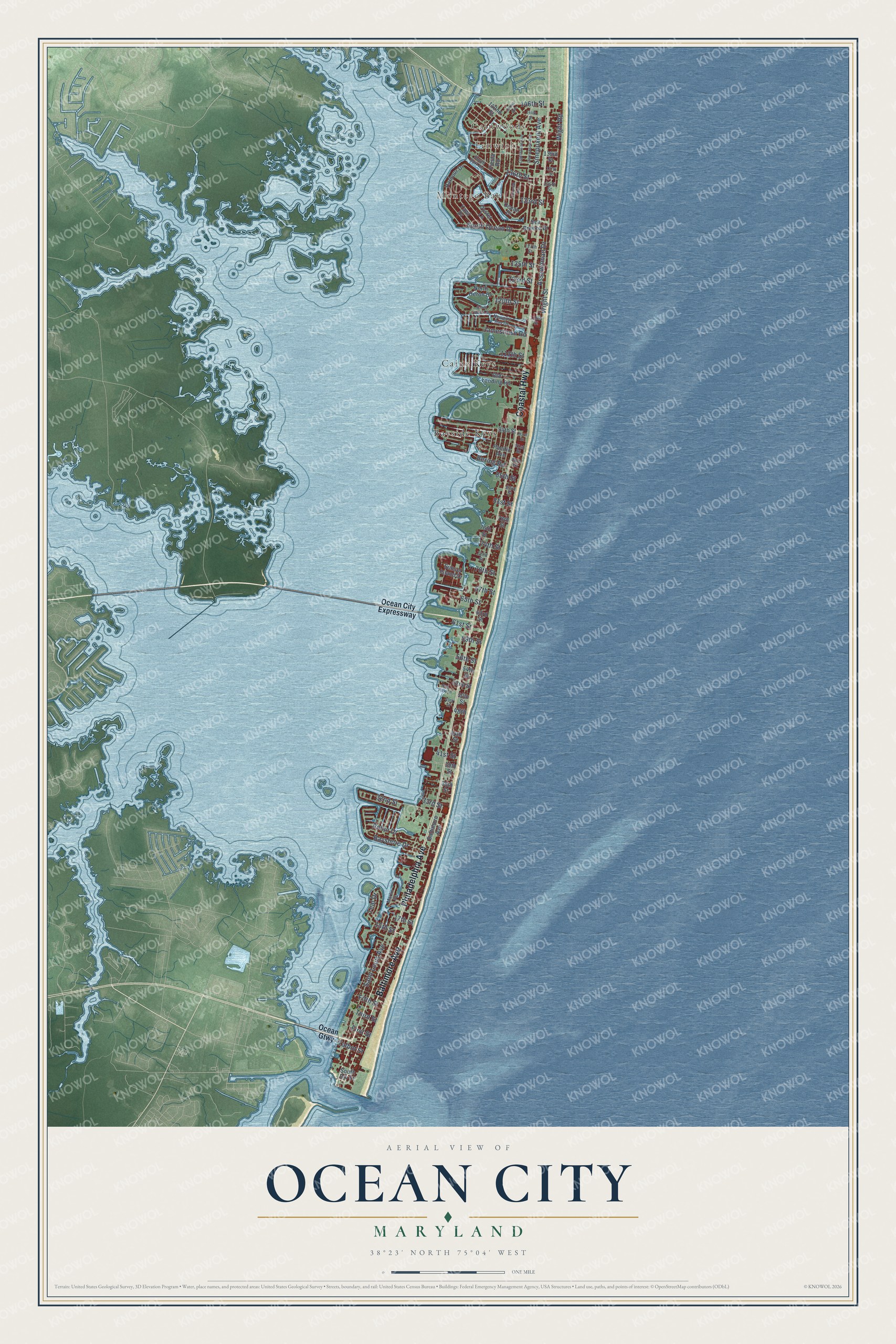
This beautifully detailed map of Ocean City, Maryland was created in 2026 using aerial imagery combined with modern topographical, census, street and landmark data. It's a modern aerial view of Ocean City in Worcester County, Maryland, that combines modern data with a vintage aesthetic. The roads feature printed names, and if you look closely you can find your exact house accurately shown in its correct location.
Explore an aerial view of Ocean City, Maryland
On this map you'll find Fenwick, Cainwoods, Montego Bay, Bayside Keys, Caine Keys, Baltimore Avenue, Philadelphia Avenue, Coastal Highway, 15th Street, Wight Street, Saint Louis Avenue, Sinepuxent Avenue, and more. Each red shape is a building, so zoom in on the preview and look for yours.
Here is a piece of Ocean City history, in the words of the record. The National Register of Historic Places puts it this way: "A short article, which first appeared in the
Baltimore American, was reprinted in the Snow Hill, Maryland newspaper, the Democratic
Messenger, on July 7, 1894, just as the new summer season officially began:
Sixty new cottages at Ocean City indicate very clearly that Maryland's great seashore
resort is rushing to the front in importance and prosperity."
Ocean City is a town in Worcester County. The Census Bureau counted 6,844 people here in 2020.
Take a closer look at the Ocean City map
Names on this map
These names are printed on this map.
Places: Fenwick, Cainwoods, Montego Bay, Bayside Keys and Caine Keys.
Streets and roads: Baltimore Avenue, Philadelphia Avenue, Coastal Highway, 15th Street, Wight Street, Saint Louis Avenue, Sinepuxent Avenue, 146th Street, Assawoman Drive, South Ocean Drive, 32nd Street, 120th Street.
More street names, A to Z
17th Street, 33rd Street, 36th Street, 39th Street, 41st Street, 44th Street, 48th, 49th Street, 50th Street, 52nd Street, 54th Street, 56th Street, 59th Street, 61st Street, 63rd Street, 65th Street, 67th Street, 70th Street, 72nd Street, 74th Street, 76th Street, 78th Street, 81st Street, 83rd Street, 85th Street, 88th Street, 91st Street, 93rd Street, 94th Street, 112th Street, 118th Street, 123rd Street, 125th Street, 127th Street, 133rd Street, 135th Street, 136th Street, 137th Street, 139th Street, 142nd Street, 144th Street, Bayshore Drive, Bay View Lane, Bering Road, Colonial Road, Derrickson Avenue, Fiesta Road, Fifth Street, First Street, Harbour Drive, Holly Lane, Jamestown Road, Jarvis Avenue, Lighthouse Avenue, Marlin Drive, Newport Bay Drive, North Heron Drive, Ocean City Expressway, Ocean Drive, Ocean Gtwy, Old Landing Road, Oyster Lane, Pacific Avenue, Robin Drive, Sea Breeze Drive, South Div Street, South Heron Drive, South Surf Road, Sunset Island Drive, Talbot Street, Teal Drive, Third Street, Wight Road, Yawl Drive.
Created by KNOWOL in 2026. The buildings are small red shapes, the roads carry their printed names, and shaded relief shows the shape of the land. The title panel reads "AERIAL VIEW OF OCEAN CITY MARYLAND" with 38°23' NORTH 75°04' WEST.
It suits a den, a classroom or a front hall, and it makes a gift for anyone with Ocean City roots. Open the preview and find the block you know. See sizes and frames for the Ocean City map.