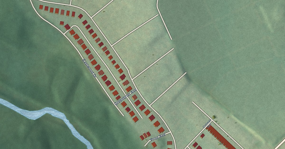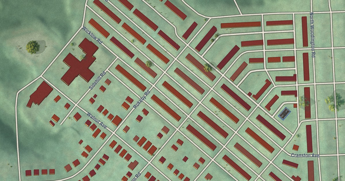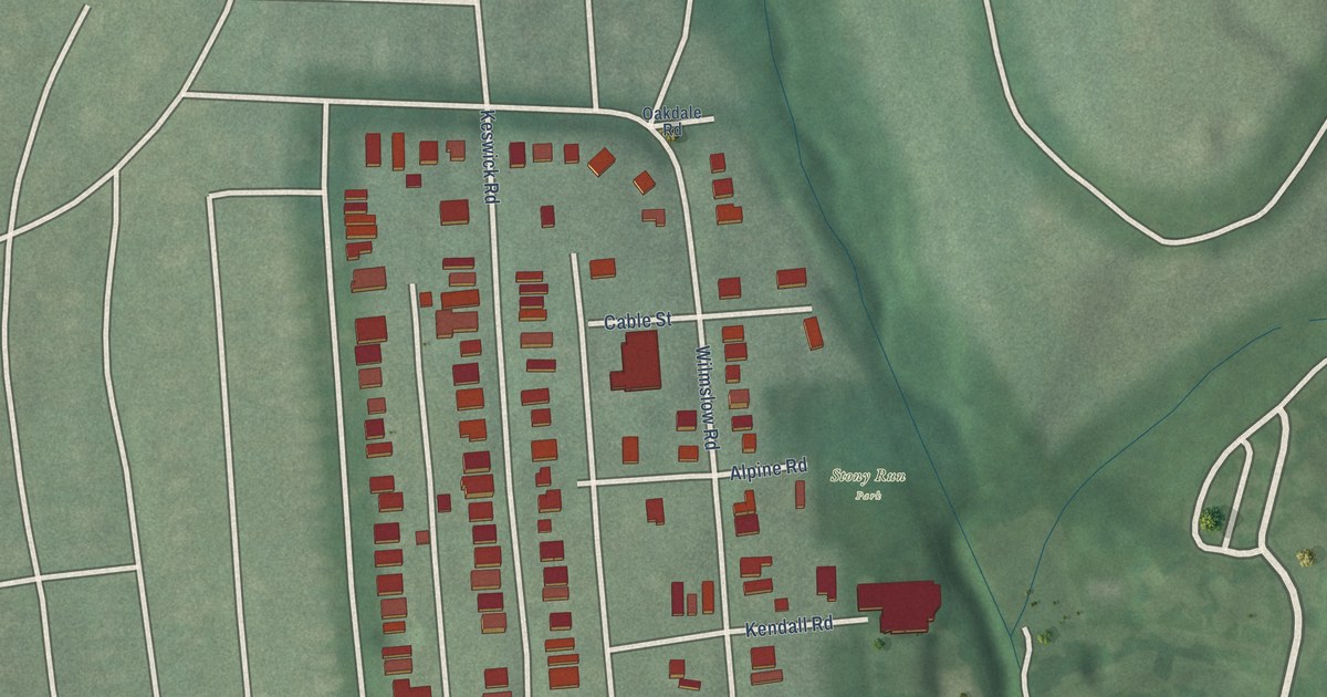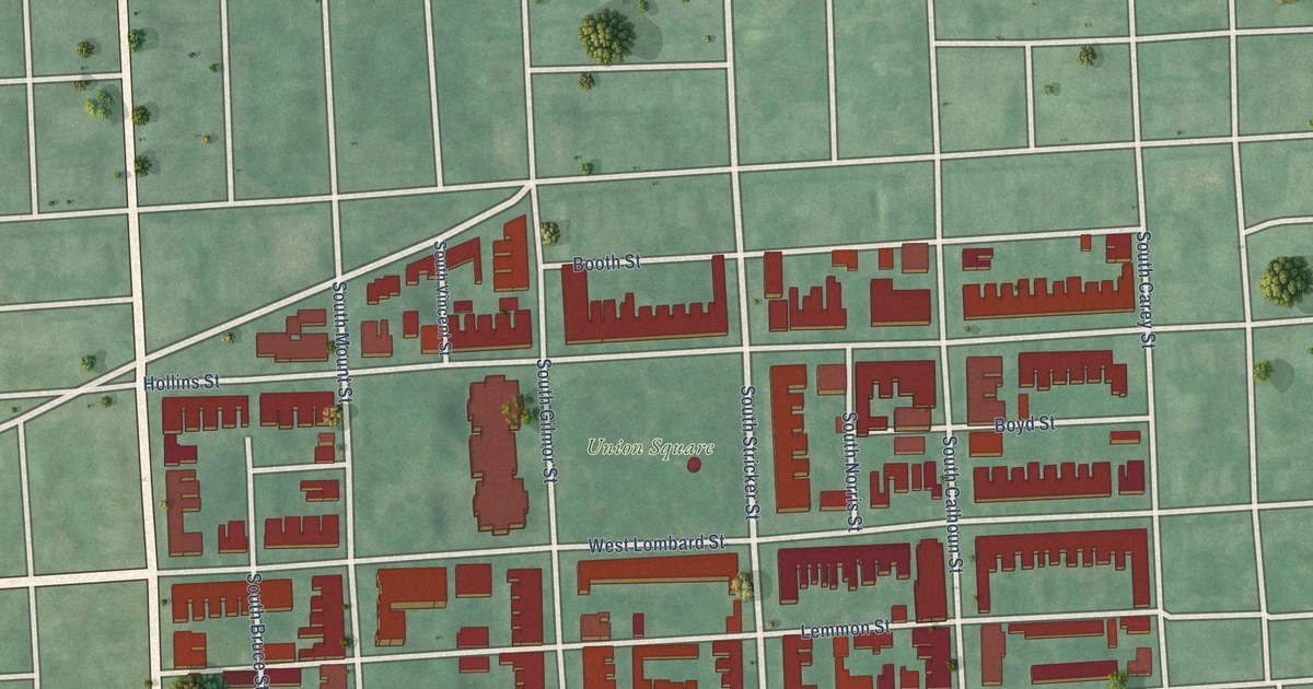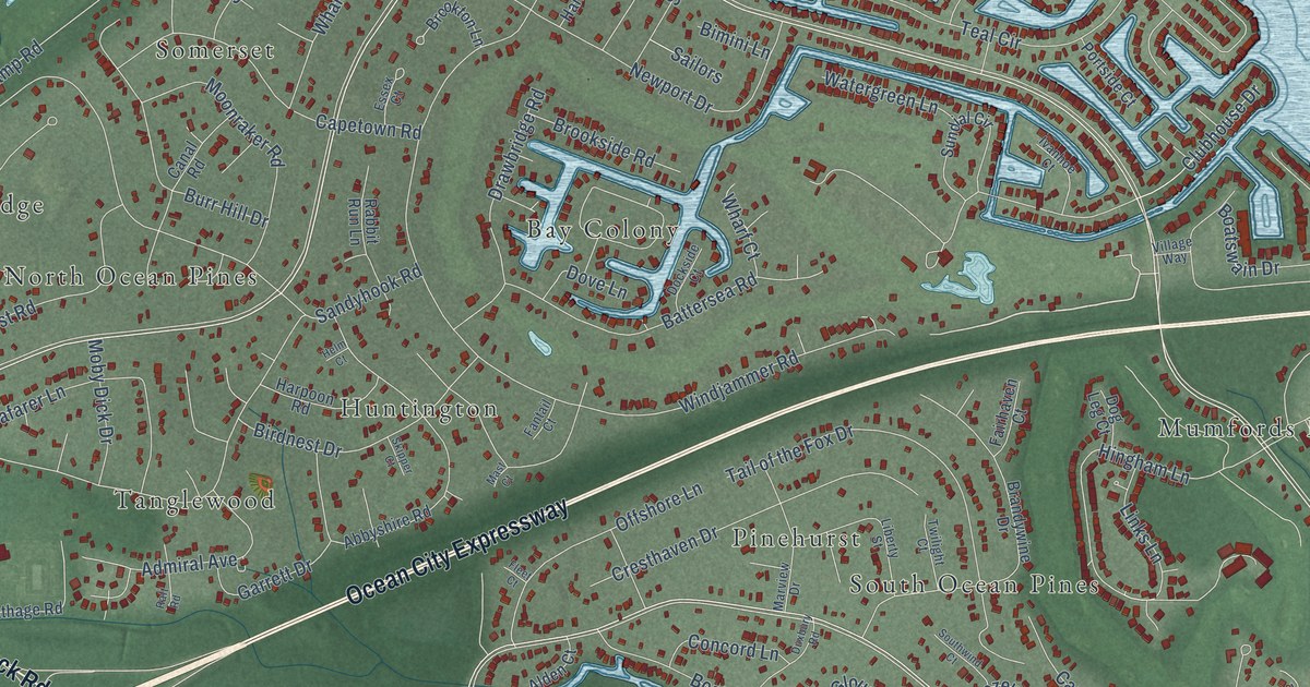
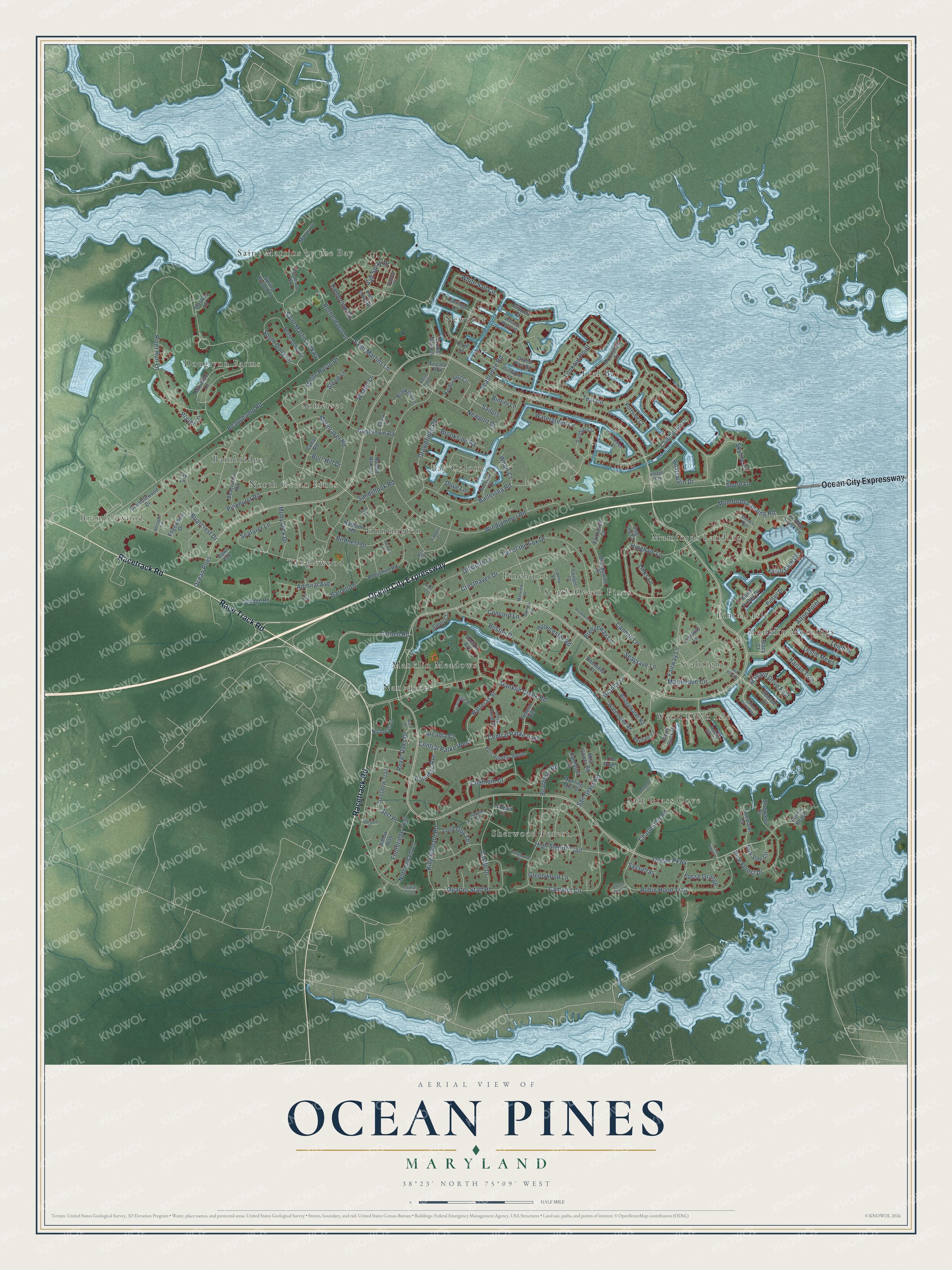
This beautifully detailed map of Ocean Pines, Maryland was created in 2026 using aerial imagery combined with modern topographical, census, street and landmark data. It's a modern aerial view of Ocean Pines in Worcester County, Maryland, that combines modern data with a vintage aesthetic. The roads feature printed names, and if you look closely you can find your exact house accurately shown in its correct location.
Explore an aerial view of Ocean Pines, Maryland
On this map you'll find Bramblewood, Teal Bay, Wood Duck Isle, Sherwood Forest, Somerset, Manklin Moorings, Saint Martins by the Bay, Manklin Meadows, Pinehurst, Bainbridge, Salt Grass Cove, Tanglewood, and more. Each red shape is a building, so zoom in on the preview and look for yours.
Ocean Pines is a community in Worcester County. The Census Bureau counted 12,145 people here in 2020. The map prints the town name in its title panel, with the coordinates below it.
Take a closer look at the Ocean Pines map
Names on this map
These names are printed on this map.
Places: Bramblewood, Teal Bay, Wood Duck Isle, Sherwood Forest, Somerset, Manklin Moorings, Saint Martins by the Bay, Manklin Meadows, Pinehurst, Bainbridge, Salt Grass Cove, Tanglewood, Newport, Bay Colony, Huntington, Mumfords Landing, Douglynn Farms, Seabright, South Ocean Pines, Nantucket, North Ocean Pines and Pintail Isle.
Streets and roads: Ocean City Expressway, Race Track Road, Racetrack Road, Ocean Parkway, Martinique Circle, Granby Lane, Cathell Road, Hingham Lane, Hatteras Street, Ocean Pnes, River Run Lane, Windjammer Road.
More street names, A to Z
Abbyshire Road, Admiral Avenue, Alden Court, Alton Point, Arcadia Court, Battersea Road, Beaconhill Road, Bearberry Road, Beauchamp Road, Beaumont Court, Bell View Drive, Bimini Lane, Birch Place, Birdnest Drive, Bluewater Court, Boatswain Drive, Boston Drive, Bramblewood Drive, Brandywine Drive, Breezeway Lane, Briarcrest Drive, Bridgewater Road, Brookside Road, Brookton Lane, Burr Hill Drive, Camelot Circle, Canal Road, Candytuft Lane, Cannon Lane, Capetown Road, Carnegie Place, Carriage Lane, Castle Drive, Catalda Lane, Cathage Road, Central Parke East, Central Parke West, Charleston Road, Chatham Court, Clipper Court, Clubhouse Drive, Concord Lane, Cove Lane, Cresthaven Drive, Crossbow Trail, Crows Nest Lane, Dawn Isle, Deerfield Court, Dockside Court, Dog Leg Court, Dogwood Place, Dove Lane, Drawbridge Road, Driftwood Lane, Duxbury Road, Easton Avenue, Ebbtide Court, Edgewood Drive, Essex Court, Fairhaven Court, Fairway Lane, Fantail Court, Federal Hill, Fishing Creek Lane, Fleet Court, Footbridge Trail, Fort Sumter South, Fosse Grange, Frigate Run, Garrett Drive, Gloucester Road, Grand Port Road, Greenwood Lane, Harbormist Circle, Harlan Trce, Harpoon Road, Helm Court, Heron Isle Court, High Sheriff Trail, Ivanhoe Court, Ivy Lane, Juneway Lane, Juniper Court, King Richard Road, Leigh Drive, Leslie Mews, Liberty Street, Links Lane, Long Point Court, Lookout Point, Lord Guy Terrace, Mallard Drive East, Mallard Drive West, Manklin Creek Road, Marina Drive, Marview Drive, Mast Court, Masters Lane, Mist Flower Road, Moby Dick Drive, Moonraker Road, Moonshell Drive, Morning Mist Drive, Muirfield Lane, Mumfords Landing Road, Newport Drive, Nicholas Lane, North Dolly Circle, North Pintail Drive, Nottingham Lane, Offshore Lane, Park Side Circle, Pine Cone Drive, Pine Forest Drive, Pinehurst Road, Pintail Drive, Player Lane, Points Reach, Poplar Trail, Port Arthur Court, Portside Court, Potomac Avenue, Quarter Staff Place, Rabbit Run Lane, Raft Road, Robin Hood Trail, Rotherwood Lane, Royal Oaks Drive, Sailors, Saint Martin's Parkway, Saint Martins Lane, Saint Martins Parkway, Salt Grass Road, Salt Spray Drive, Sandyhook Road, Sassafras, Seabreeze Road, Seafarer Lane, Seagrave Lane, Serf Place, Shore Lane, Skipjack Circle, Skipper Court, Skyline Court, Sloop Lane, South Dolly Circle, Southwind Court, Spring Branch Lane, Spruce Court, Stacy Court, Stone's Run, Sundial Circle, Sweet Gum Lane, Tail of the Fox Drive, Teal Circle, The Point, Tidewater Cv, Timberline Circle, Twilight Court, Village Way, Watergreen Lane, Watertown Road, Westfield Circle, Whaler Lane, Wharf Court, Whisper Lane, White Cap Lane, White Horse Drive, White Sail Circle, Widows Watch Court, Willow Way, Wood Duck Drive, Yacht Club Drive.
See it on a wall
The Ocean Pines map as a framed print. Swipe for more.


Created by KNOWOL in 2026. The buildings are small red shapes, the roads carry their printed names, and shaded relief shows the shape of the land. The title panel reads "AERIAL VIEW OF OCEAN PINES, MARYLAND" with 38°23' NORTH 75°09' WEST.
It looks right in a kitchen, an office or a den, and it's a gift for anyone who grew up in Ocean Pines or moved away. Open the preview and find your street. See sizes and frames for the Ocean Pines map.