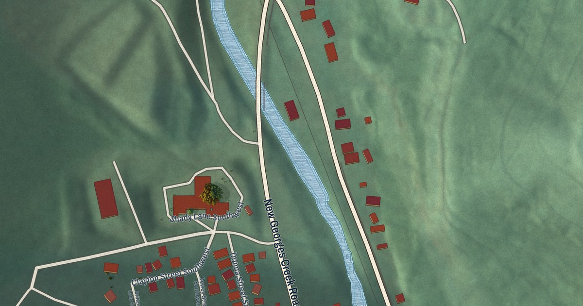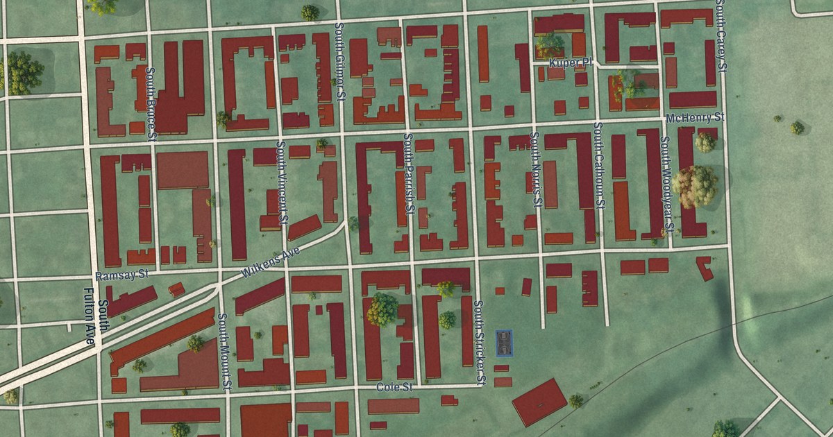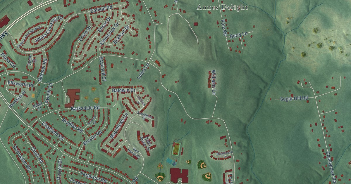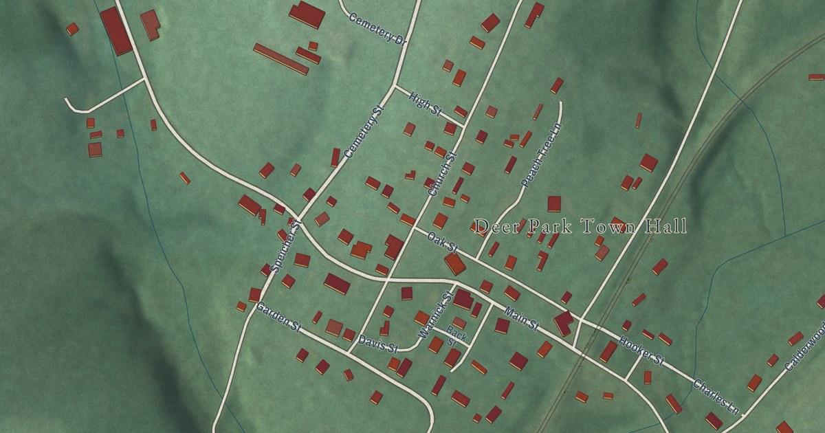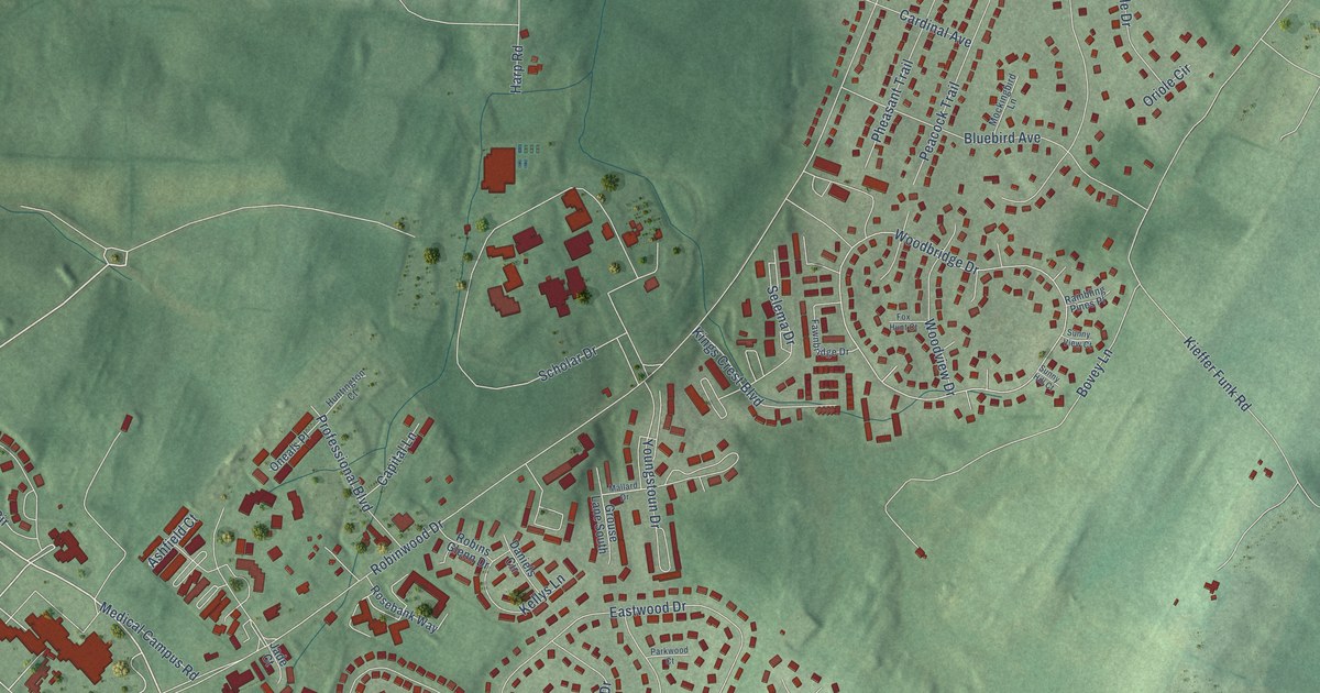
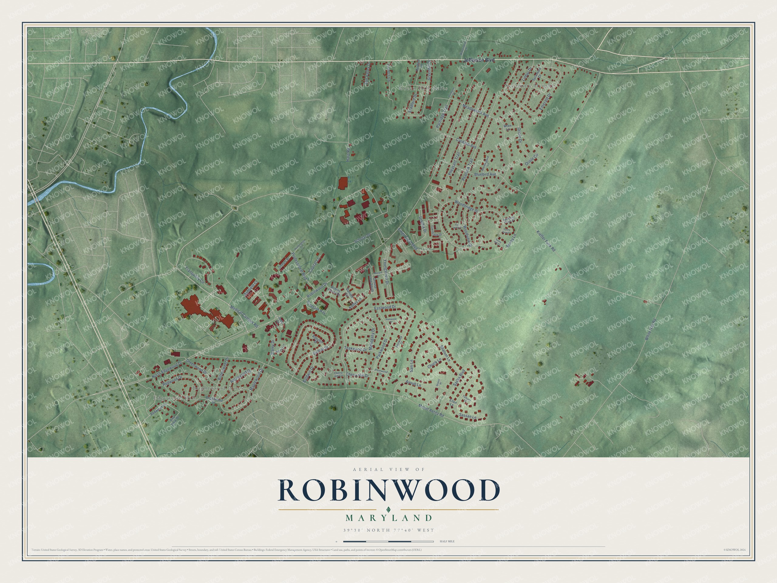
This beautifully detailed map of Robinwood, Maryland was created in 2026 using aerial imagery combined with modern topographical, census, street and landmark data. It's a modern aerial view of Robinwood in Washington County, Maryland, that combines modern data with a vintage aesthetic. The roads feature printed names, and if you look closely you can find your exact house accurately shown in its correct location.
Explore an aerial view of Robinwood, Maryland
On this map you'll find Green Hill Acres, Edgewood Hill, Sycamore Heights, Brightwood Acres, Jefferson Boulevard, North Edgewood Drive, Woodbridge Drive, Partridge Trail, Robinwood Drive, Mount Aetna Road, Kieffer Funk Road, White Hall Road, and more. Each red shape is a building, so zoom in on the preview and look for yours.
Here is a piece of Robinwood history. Hagerstown Junior College was founded in 1946 as the first rural community college in Maryland. It held its first classes on the Robinwood Drive campus on September 19, 1966, with 782 students enrolled, and it became Hagerstown Community College in 1998. That's from the Hagerstown Community College.
Robinwood is a community in Washington County. The Census Bureau counted 7,397 people here in 2020.
Take a closer look at the Robinwood map
Names on this map
These names are printed on this map.
Places: Green Hill Acres, Edgewood Hill, Sycamore Heights and Brightwood Acres.
Streets and roads: Jefferson Boulevard, North Edgewood Drive, Woodbridge Drive, Partridge Trail, Robinwood Drive, Mount Aetna Road, Kieffer Funk Road, White Hall Road, Eastwood Drive, Scholar Drive, Suffolk Drive, Meadowlark Avenue.
More street names, A to Z
Applewood Drive, Ashfield Court, Ayoub Lane, Babylon Drive, Baldwin Drive, Bittersweet Drive, Bluebird Avenue, Bovey Lane, Bradford Drive, Brightwood Drive, Capital Lane, Cardinal Avenue, Cherry Hill Circle, Cherry Hill Drive, Chuck Lane, Daniels Circle, Day View Drive, Dormayne Drive, Eastwood Court, Ellen Lane, Emerald Drive, Fawnbridge Drive, Fox Hunt Court, Greenhill Drive, Greenwood Drive, Grouse Lane South, Harp Road, Huntington Court, Jade Court, Kellys Lane, Kings Crest Boulevard, Linbar Drive, Mahogany Drive, Mallard Drive, Maplewood Drive, Medical Campus Road, Mockingbird Lane, Oneals Place, Oriole Circle, Oriole Drive, Parkwood Court, Parkwood Drive, Peacock Trail, Pheasant Trail, Plumwood Drive, Professional Boulevard, Rambling Pines Place, Redbud Lane, Redwood Circle, Redwood Drive, Robins Glenn Drive, Rosebank Way, Sani Lane, Sasha Boulevard, Sassan Lane, Selema Drive, Shalom Lane, Shaool Place, Staley Drive, Sunny Hill Court, Sunny View Court, Sun Valley Drive, Sycamore Drive, Teakwood Drive, Tehrani Lane, Tranquility Circle, Turners Lane, Warrenfeltz Lane, Whitney Lane, Woodview Drive, Wren Lane, Youngstoun Drive.
See it on a wall
The Robinwood map as a framed print. Swipe for more.


Created by KNOWOL in 2026. The buildings are small red shapes, the roads carry their printed names, and shaded relief shows the shape of the land. The title panel reads "AERIAL VIEW OF ROBINWOOD, MARYLAND" with 39°38' NORTH 77°40' WEST.
It suits a den, a classroom or a front hall, and it makes a gift for anyone with Robinwood roots. Open the preview and find the block you know. See sizes and frames for the Robinwood map.