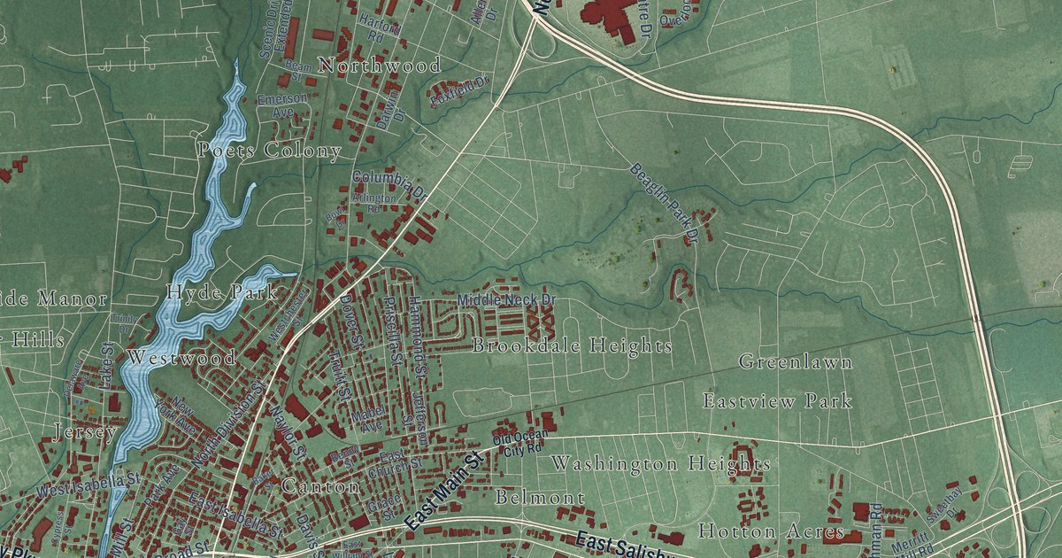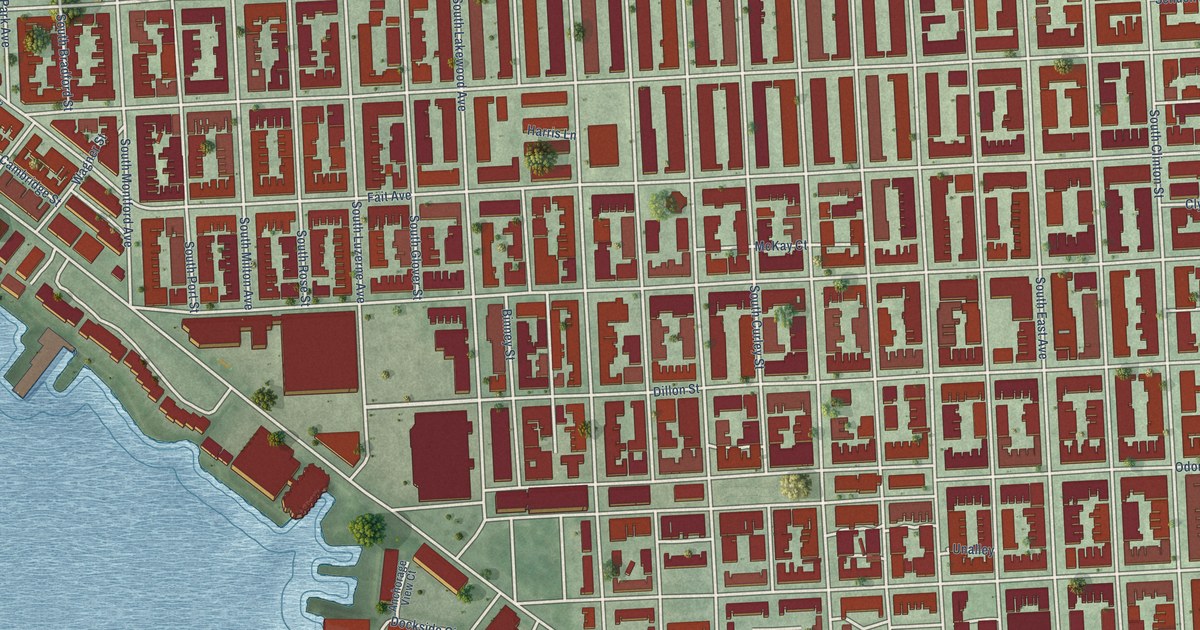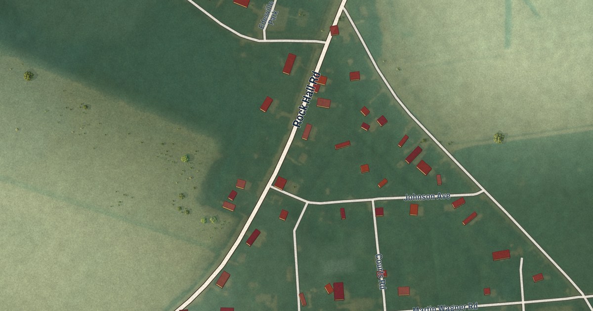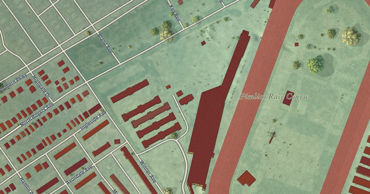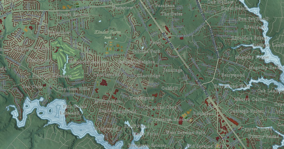
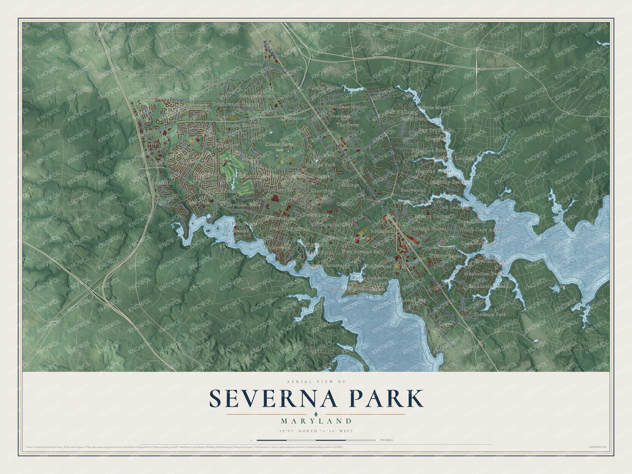
This beautifully detailed map of Severna Park, Maryland was created in 2026 using aerial imagery combined with modern topographical, census, street and landmark data. It's a modern aerial view of Severna Park in Anne Arundel County, Maryland, that combines modern data with a vintage aesthetic. The roads feature printed names, and if you look closely you can find your exact house accurately shown in its correct location.
Explore an aerial view of Severna Park, Maryland
On this map you'll find Kinder Farm Park, Sun Set Knoll, Benfield, Cape McKinsey, Bluff Point, Yorktown, Elvaton, Robinson, Magothy Forest, Manhattan Manor, Zeman, Shipleys Choice, and more. Each red shape is a building, so zoom in on the preview and look for yours.
Here is a piece of Severna Park history, in the words of the record. The Severna Park Voice puts it this way: "Since before World War One many people in Severna Park went through the same morning ritual. They glared at their alarm clocks, drank coffee, got dressed and rode to work by rail, playing cards and swapping stories, real companionship."
Severna Park is a community in Anne Arundel County. The Census Bureau counted 39,933 people here in 2020.
Take a closer look at the Severna Park map
Names on this map
These names are printed on this map.
Places: Kinder Farm Park, Sun Set Knoll, Benfield, Cape McKinsey, Bluff Point, Yorktown, Elvaton, Robinson, Magothy Forest, Manhattan Manor, Zeman, Shipleys Choice, Pasadena Manor, Lakeland, Candlewood, Brightwood, Jennings, Parkview, Point Somerset, Oakleigh Forest, Captains Cove, Foxhollow, Chatham Hills, Oak Landing, Elvaton Acres, Round Bay, Manhattan Beach, Trinity Farms, Berrywood West, Earleigh Heights, Frost, Ben Oaks, Hollywood, Magothy Beach, Drexel Estates, Cresston Park, Millhausens, West Severna Park, Oak Hollow, Linstead-on-the-Severn, Riverdale Forest, The Dales, Chartridge, Duffield, Riverdale, Berrywood, Brightwood Terrace, Oakhill, Selby Grove, Fair Winds, North Cape Arthur, Sabrina Park, Quail Run, Crystal Beach, Holly Point, Stewarts Purchase, Old Severna Park, Evergreen Estates, Maceys Corner, Severna Gardens, Kensington, Stewarts Landing, Jones, Edinboro Estates, Lourds Manor, Pasadena, Cape Arthur, Chartwood, Bendale, Royal Beach and Cypress Creek.
Streets and roads: Baltimore Annapolis Boulevard, Old Annapolis Boulevard, Ritchie Highway, Govenor Ritchie Highway, Old Annapolis Road, East West Boulevard, Benfield Road, Benfield Boulevard, Asbury Drive, Veterans Highway, Old County Road, Obrecht Road.
More street names, A to Z
Adams Lane, Ambleside Drive, Arcada Road East, Armstrong Lane, Arundel Expressway, Bayberry Drive, Bay Park Way, Berrywood Drive, Boyers Lane, Brightview Drive, Brookwood Road, Catalfa Avenue, Catherine Avenue, Center Drive, Charington Drive, Chestnut Hill Avenue, Crandell Road, Cypress Creek Road, Cypress Ridge Drive, Cypress Road, Dale Road, Dales Way Drive, Dennis Road, Dill Road, Dividing Creek Road, Dogwood Road, Drexel Drive, Dun Robbin Drive, Eadds Drive, East Earleigh Heights Road, Eastwest Boulevard, Elvaton Drive, Emerson Place, Evergreen Road, Faircastle Avenue, Fairtree Drive, Fawn Avenue, Finnegan Drive, Fordham Drive, Fox Den Lane, Giddings Avenue, Governor Stone Parkway, Grandin Avenue, Green Aspen Court, Harlem Avenue, Hastings Lane, Hatton Drive, Hayden Road, Headquarters Drive, Highwood Path, Hills Road, Holland Road, Holly Farms, Holly Farms Road, Holly Road, Horicon Point Drive, Hortonia Point Drive, Hoyle Lane, Idlewild Road, Jennings Road, Jones Station Road, Jumpers Hole Road, Keedy's Lane, Kennedy Drive, Kent Avenue, Kinder Road, Kings Lane, Lahinch Drive, Larbo Road, Leelyn Drive, Light Street Avenue, Live Oak Drive, Locust Thorn Court, Longfellow Drive, Lower Magothy Beach Road, Lynwood Drive, Madary Road, Manhattan Beach Road, Manns Road, Maple Avenue, Marba Road, Marie Avenue, Martin Drive, Maxwell Frye Road, McBride Lane, McKinsey Road, Metispa Drive, Mulberry Avenue, Nicole Court, North Mesa Road, Oak Avenue, Oak Court, Oak Grove Circle, Oak Road, Oakwilde Way, Old Benfield Road, Old Jumpers Hole Road, Old Magothy Bridge Road, Old Orchard Circle, Owens Way, Pasadena Avenue, Pasadena Road, Pasadena Road West, Pertch Road, Pleasantview Avenue, Point Field Drive, Preswick Way, Railroad Avenue, Raussell Place, Red Birch Road, Red Oak Drive, Retford Drive, Richard Way, Ridge Road, Ritchie Court, Riverdale Road, River Drive, Roads End Lane, Robinson Landing Road, Rockridge Road, Rock Ridge Road, Round Bay Road, Rustling Oaks Drive, Saint Andrews Road, Salmons Road, Severn River Road, Severn Road, Severnside Drive, Sheppard Road, Shore Road, Simmons Lane, Sourwood Court, South Drive, Southway, Stratford Drive, Sunset Knoll Road, Sycamore Road, Tam Glade, Tarks Lane, Thomas Road, Thomas Way, Tolstoy Lane, Trenton Avenue, Vetrans Highway, Waterford Road, Water Street, West Benfield Road, West Drive, Westley Avenue, West Pasadena Road, White Road, Whittier Parkway, Wild Oak Road, Wilett Drive, Woodland Road, Yorkshire Drive.
See it on a wall
The Severna Park map as a framed print. Swipe for more.


Created by KNOWOL in 2026. The buildings are small red shapes, the roads carry their printed names, and shaded relief shows the shape of the land. The title panel reads "AERIAL VIEW OF SEVERNA PARK, MARYLAND" with 39°05' NORTH 76°34' WEST.
It suits a den, a classroom or a front hall, and it makes a gift for anyone with Severna Park roots. Open the preview and find the block you know. See sizes and frames for the Severna Park map.