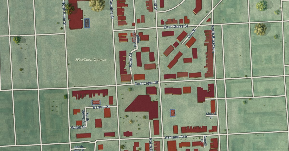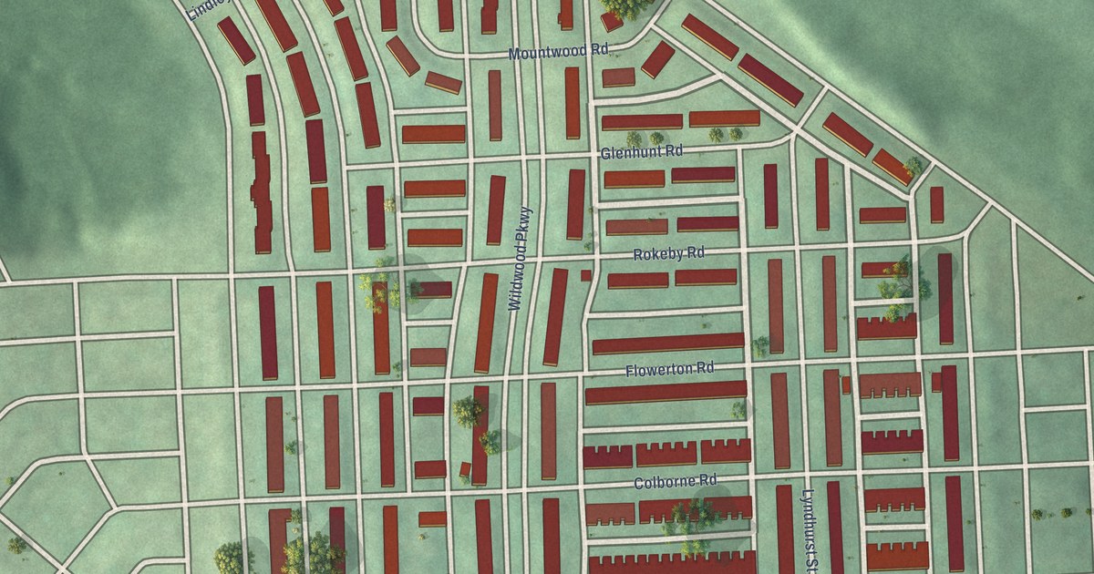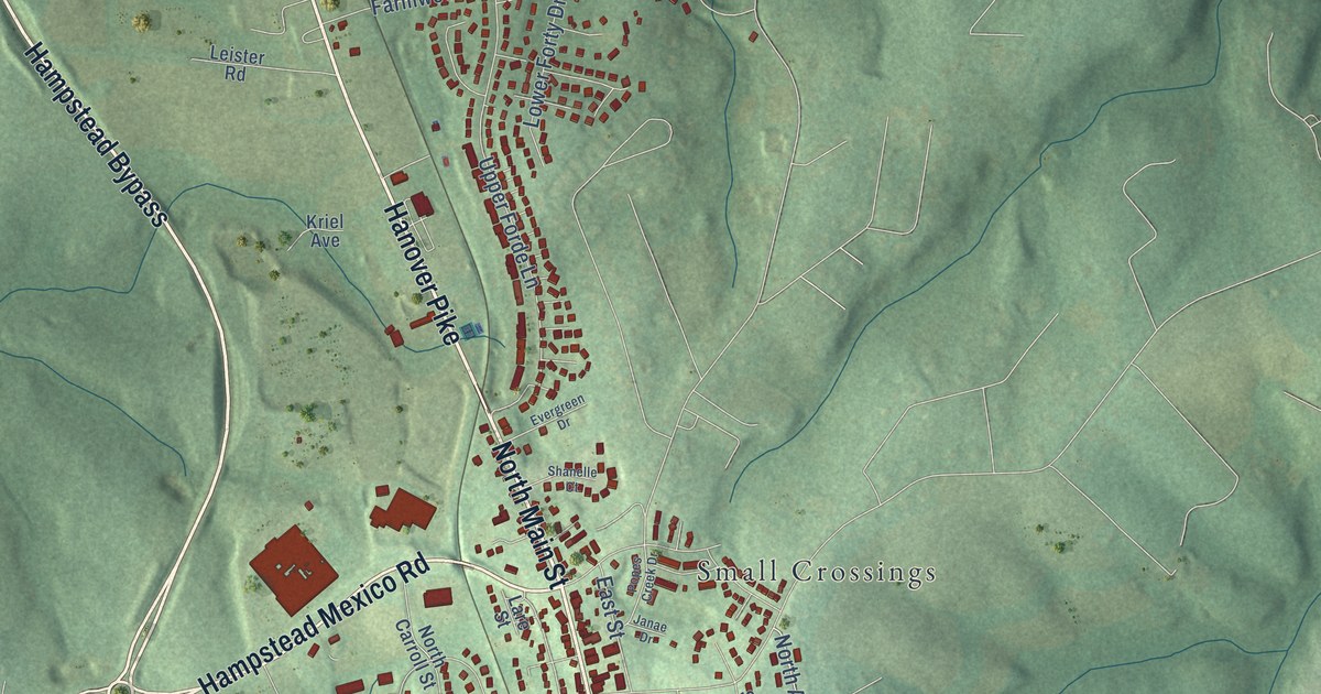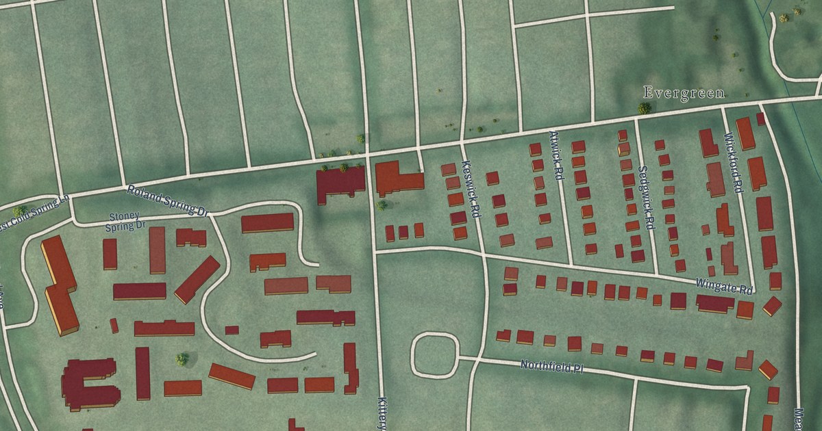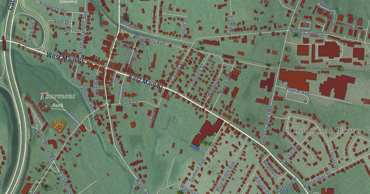
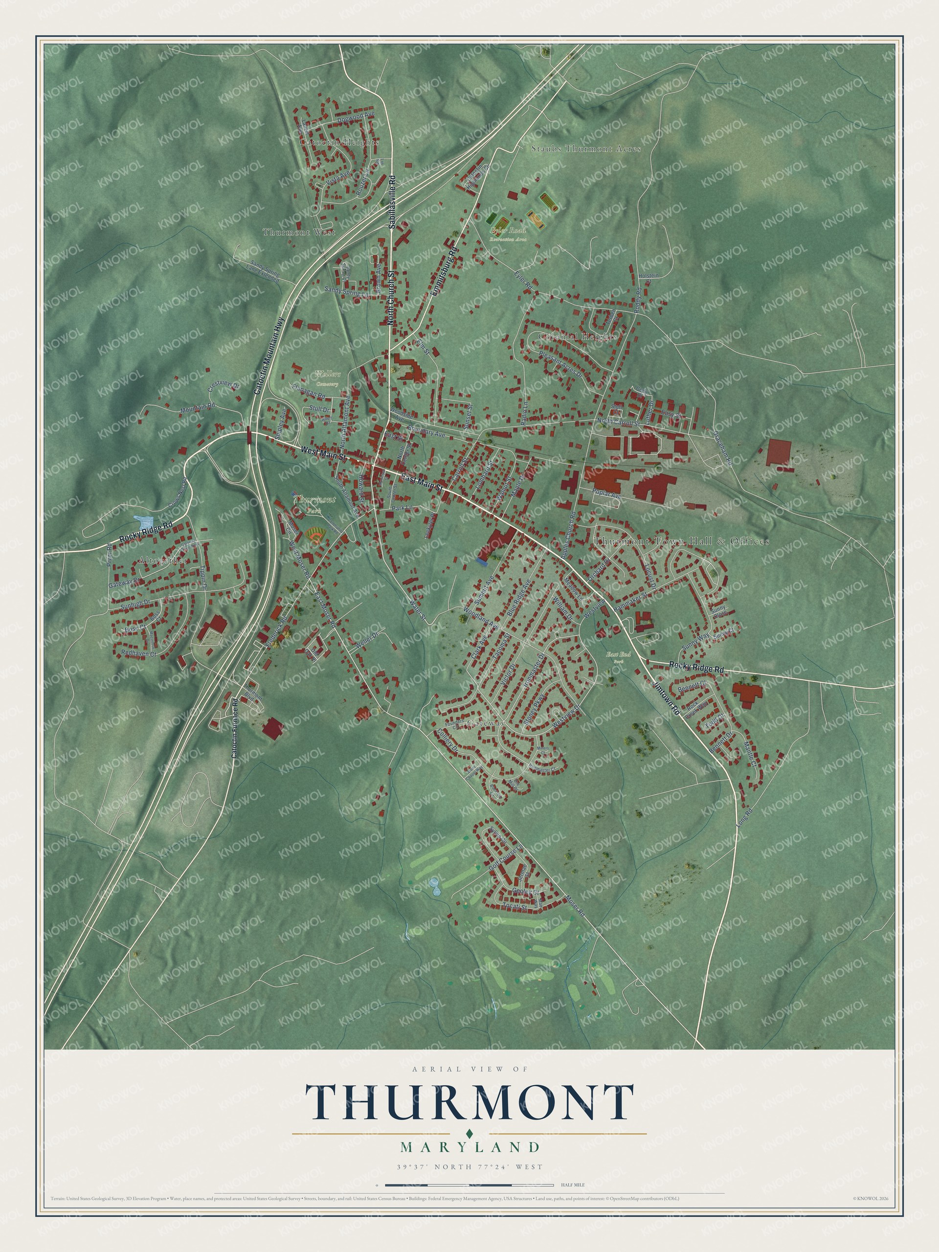
This beautifully detailed map of Thurmont, Maryland was created in 2026 using aerial imagery combined with modern topographical, census, street and landmark data. It's a modern aerial view of Thurmont in Frederick County, Maryland, that combines modern data with a vintage aesthetic. The roads feature printed names, and if you look closely you can find your exact house accurately shown in its correct location.
Explore an aerial view of Thurmont, Maryland
On this map you'll find Thurmont Town Hall & Offices, East End Park, Eyler Road Recreation Area, Thurmont Park, Wellers Cemetery, Altogether, Catoctin Heights, Colonial Heights, Gateway, Staubs Thurmont Acres, Thurmont West, East Main Street, and more. Each red shape is a building, so zoom in on the preview and look for yours.
Thurmont has a story worth telling. The record at myThurmont.net puts it this way: "The presence of barrel-makers, wheelwrights, blacksmiths and other craftsmen prompted the name Mechanicstown for the newly surveyed community. The coming of the railroad in 1871 assured Mechanicstown's place as a commercial hub."
Thurmont is a town in Frederick County. The Census Bureau counted 6,213 people here in 2020.
Take a closer look at the Thurmont map
Names on this map
These names are printed on this map.
Places: Thurmont Town Hall & Offices, East End Park, Eyler Road Recreation Area, Thurmont Park, Wellers Cemetery, Altogether, Catoctin Heights, Colonial Heights, Gateway, Staubs Thurmont Acres and Thurmont West.
Streets and roads: East Main Street, Jimtown Road, West Main Street, North Church Street, Catoctin Mountain Highway, Sabillasville Road, Emmitsburg Road, Rocky Ridge Road, Moser Road, East Moser Road, Water Street, Westview Drive.
More street names, A to Z
Allen Drive, Apples Church Road, Bennett Court, Bennett Drive, Blackford Circle, Blue Ridge Avenue, Bosc Court, Boss Court, Boundary Avenue, Brown Avenue, Carroll Street, Catoctin Furnace Road, Catoctin Highlands Circle, Clark Avenue, Cody Drive, Colliery Drive, Community Park Road, Crestview Drive, Crows Nest Road, Dogwood Avenue, East Street, Easy Street, Elm Street, Eyler Road, Flanagan Road, Founders Circle, Frederick Road, Gateway Drive, Gateway Drive West, Geoley Court, Golf Course Lane, Graceham Road, Hammaker Street, Holstein Court, Howard Street, Ironmaster Court, Ironmaster Drive, Jermae Street, Laurel Avenue, Leekyler Place, Lin Road, Locust Drive, Lombard Street, Long Road, Luther Drive, Macintosh Drive, Mae Way, Mantle Court, Maple Drive, Meadow Lane, Miners Court, Moser Circle, Mountain Road, Municipal Street, North Altamont Avenue, North Carroll Street, North Center Street, Old Oak Place, Orchard Drive, Ore Mill Place, Park Lane, Pleasant Acres Drive, Poplar Avenue, Pryor Road, Radio Lane, Redhaven Court, Rock Creek Way, Roddy Road, Rouzer Lane, Sandy Spring Court, Sandy Spring Lane, Sandy Spring Lane Extended, Shipley Avenue, South Altamont Avenue, South Center Street, Stone Chapel Way, Stoney Parkway, Stull Court, Stull Drive, Summit Avenue, Sunhigh Drive, Sunny Close, Sunny Court, Sunny Way, Sunset Street, Sylvia Circle, Tacoma Street, Terben Court, Thurmont Boulevard, Tippin Drive, Tocati Street, Todd Court, Victor Drive, Vista Avenue, Walnut Street, Weller Drive, West Moser Road, Westview, William Drive, Woodland Avenue, Woodside Avenue.
Created by KNOWOL in 2026. The buildings are small red shapes, the roads carry their printed names, and shaded relief shows the shape of the land. The title panel reads "AERIAL VIEW OF THURMONT MARYLAND" with 39°37' NORTH 77°24' WEST.
It looks right in a kitchen, an office or a den, and it's a gift for anyone who grew up in Thurmont or moved away. Open the preview and find your street. See sizes and frames for the Thurmont map.