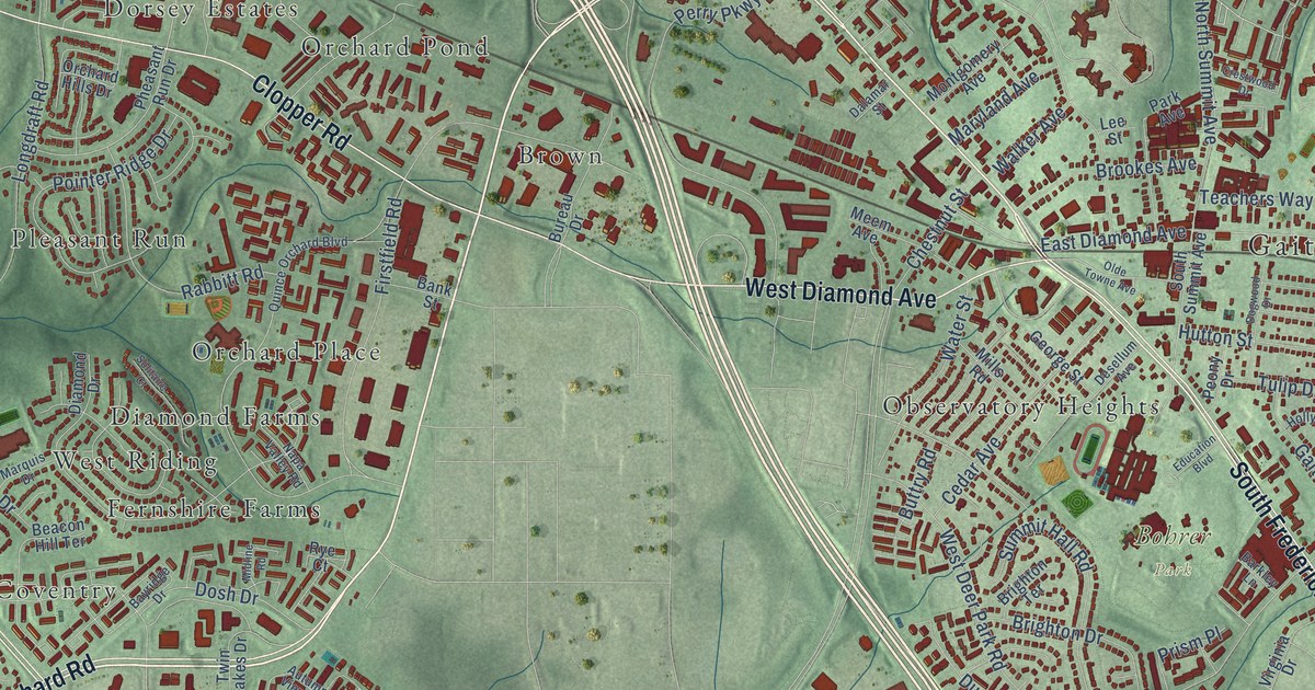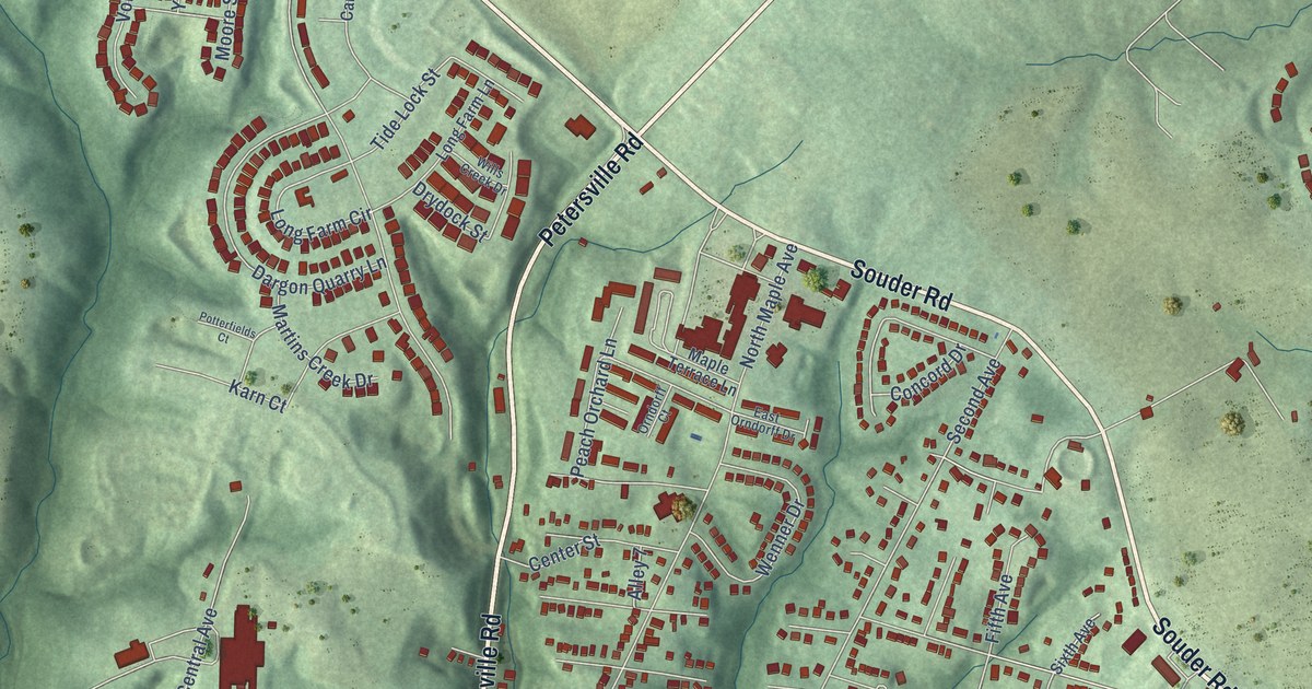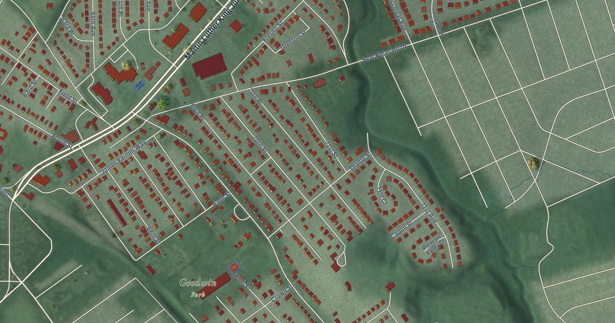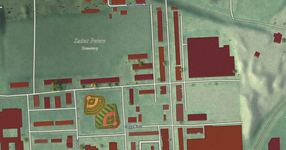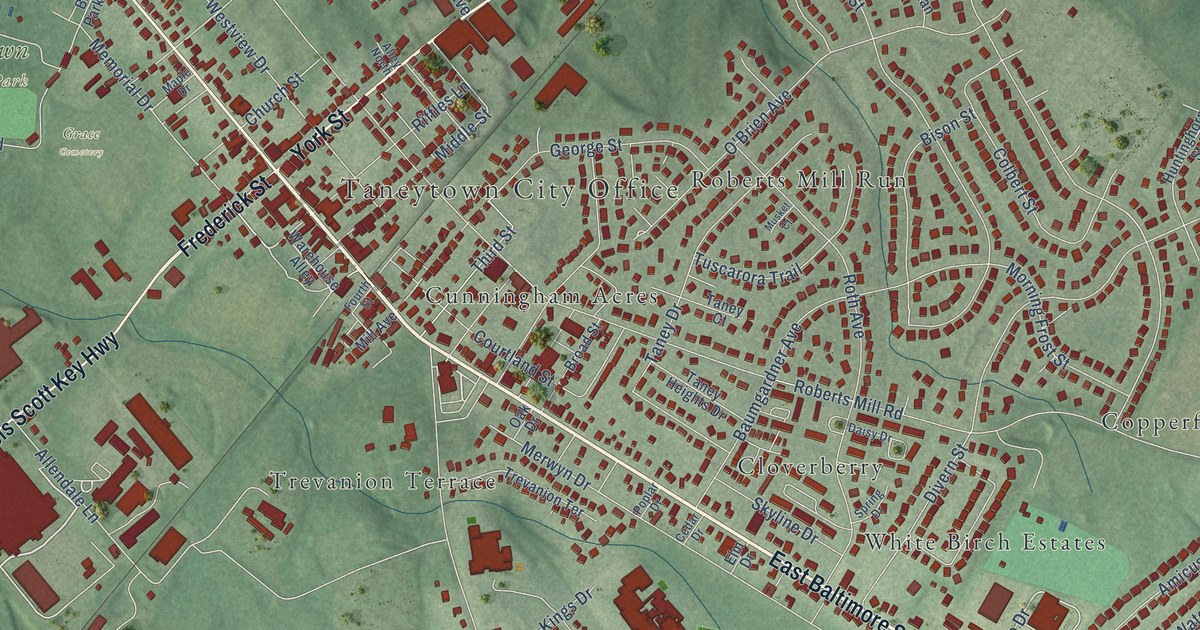
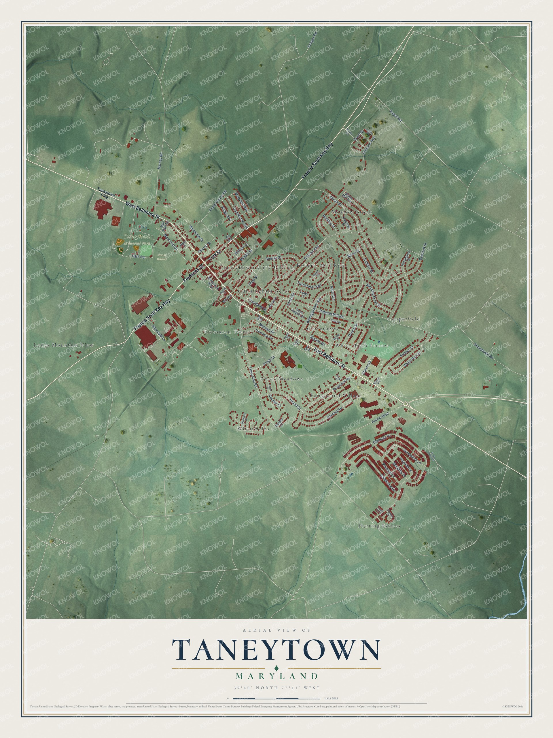
This beautifully detailed map of Taneytown, Maryland was created in 2026 using aerial imagery combined with modern topographical, census, street and landmark data. It's a modern aerial view of Taneytown in Carroll County, Maryland, that combines modern data with a vintage aesthetic. The roads feature printed names, and if you look closely you can find your exact house accurately shown in its correct location.
Explore an aerial view of Taneytown, Maryland
On this map you'll find Taneytown City Office, Taneytown Memorial Park, Grace Cemetery, Cloverberry, Copperfield, Cunningham Acres, Fairground Village, Green Meadows, Herring Estates, Longs Mountain View, Meadow Brook, Roberts Mill Run, and more. Each red shape is a building, so zoom in on the preview and look for yours.
Here is a piece of Taneytown history, in the words of the record. The History of Western Maryland puts it this way: "Taneytown is the oldest village in Carroll County. It was laid out about the year 1750 by Frederick Taney, who came from Calvert County, Md. It is situated on the main road from Frederick to York, Pa., and prior to the Revolutionary war, and for many years afterwards, was the principal thoroughfare between the North and South."
Taneytown is a city in Carroll County. The Census Bureau counted 7,234 people here in 2020.
Take a closer look at the Taneytown map
Names on this map
These names are printed on this map.
Places: Taneytown City Office, Taneytown Memorial Park, Grace Cemetery, Cloverberry, Copperfield, Cunningham Acres, Fairground Village, Green Meadows, Herring Estates, Longs Mountain View, Meadow Brook, Roberts Mill Run, Trevanion Terrace, Wheatfields and White Birch Estates.
Streets and roads: East Baltimore Street, Frederick Street, York Street, West Baltimore Street, Francis Scott Key Highway, Maryland Avenue, Angell Road, Chevro Drive, Bison Street, Tuscarora Trail, Clubside Drive, Roberts Mill Road.
More street names, A to Z
Allendale Lane, Alley North, Amicus Street, Antrim Boulevard, Ball Park Road, Bancroft Street, Baumgardner Avenue, Bentley Street, Bowie Mill Avenue, Broad Street, Brown Heights Road, Butterfly Drive, Carnival Drive, Cedar Drive, Church Street, Colbert Street, Commerce Avenue, Courier Court, Courier Drive, Courtland Street, Crimson Avenue, Daisy Drive, Divern Street, Dunkle Court, Elm Drive, Fairground Avenue, First Street, Fourth Street, Fringer Road, Gantry Road, George Street, Grand Drive, Grant Street, Harney Road, Hayride Lane, Horseshoe Lane, Huntinghorn Street, Kenan Street, Kings Drive, Kwanzan Street, Maple Drive, Meades Avenue, Memorial Drive, Merwyn Drive, Middle Street, Mill Avenue, Morning Frost Street, Musket Court, O'Brien Avenue, Oak Drive, Olympic Court, Park Road, Ponytail Lane, Poplar Drive, Pump House Road, Ridge Avenue, Riffles Lane, Roth Avenue, Saddletop Drive, Skyline Drive, Spring Drive, Starboard Drive, Stumptown Road, Taney Court, Taney Drive, Taney Heights Drive, Taneytown Pike, Third Street, Trevanion Road, Trophy Cup Drive, Warehouse Alley, Water Run Street, Westview Drive, Wilson Avenue.
Created by KNOWOL in 2026. The buildings are small red shapes, the roads carry their printed names, and shaded relief shows the shape of the land. The title panel reads "AERIAL VIEW OF TANEYTOWN MARYLAND" with 39°40' NORTH 77°11' WEST.
It suits a den, a classroom or a front hall, and it makes a gift for anyone with Taneytown roots. Open the preview and find the block you know. See sizes and frames for the Taneytown map.