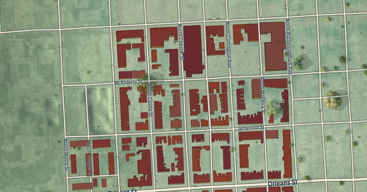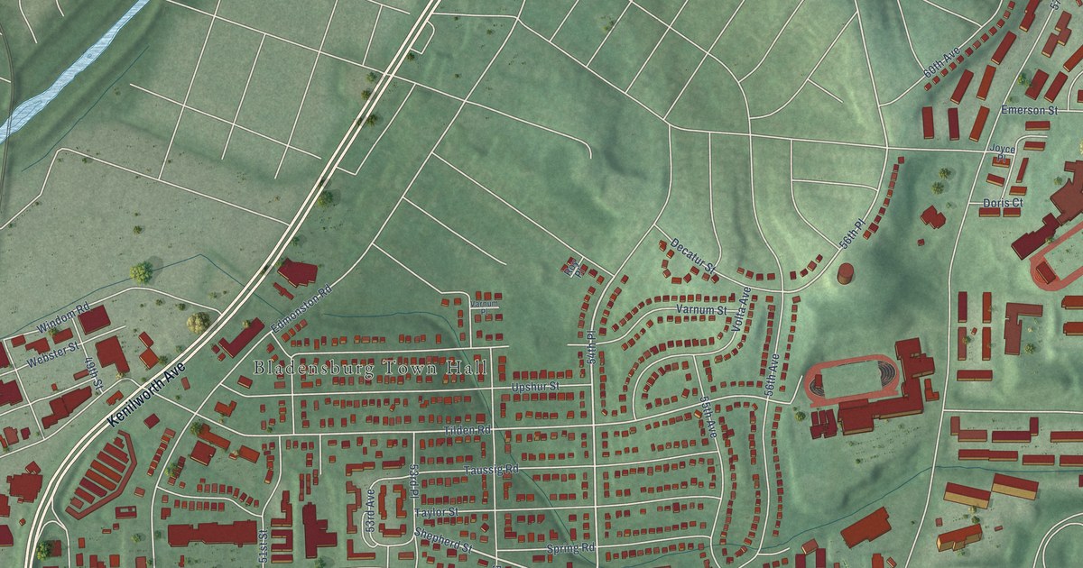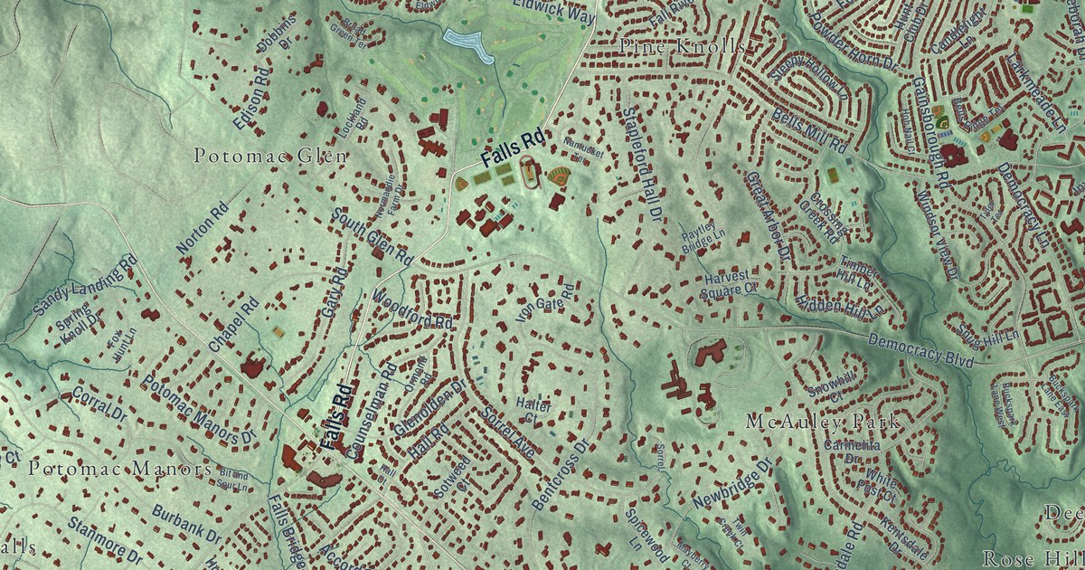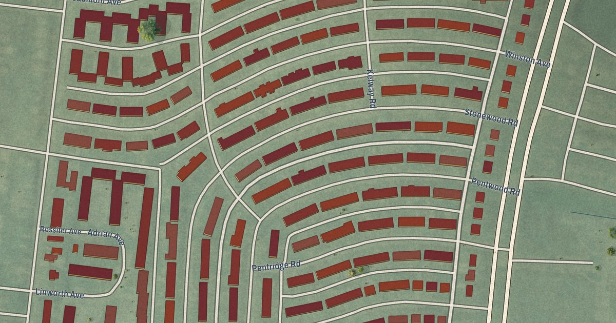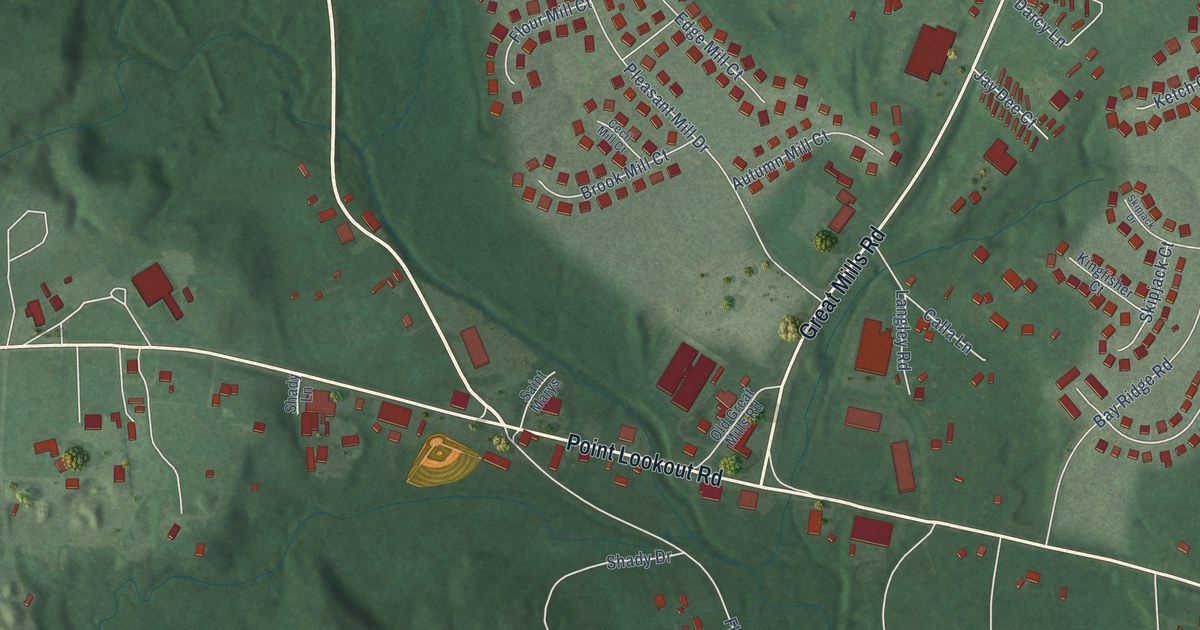
This beautifully detailed map of Great Mills, Maryland was created in 2026 using aerial imagery combined with modern topographical, census, street and landmark data. It’s a one-of-a-kind view of Great Mills that combines accurate data with a vintage aesthetic. The map shows every building in its true location, many of the roads carry their names, and the shaded topographic relief shows the shape of the land.
Explore an aerial view of Great Mills, Maryland
On the map you’ll find Irvings Place, along with Indian Bridge Road, Chancellors Run Road, Point Lookout Road, Great Mills Road, Piney Point Road, Freedom Lane, Deep Wells Lane, Take It Easy Ranch Road, Lillian Lane, Elizabeth Hill Street, Tennyhill Street, and more. If you look closely you can even find your house accurately drawn in its correct location. Zoom in on the preview to look for yours.
Take a closer look at the Great Mills map
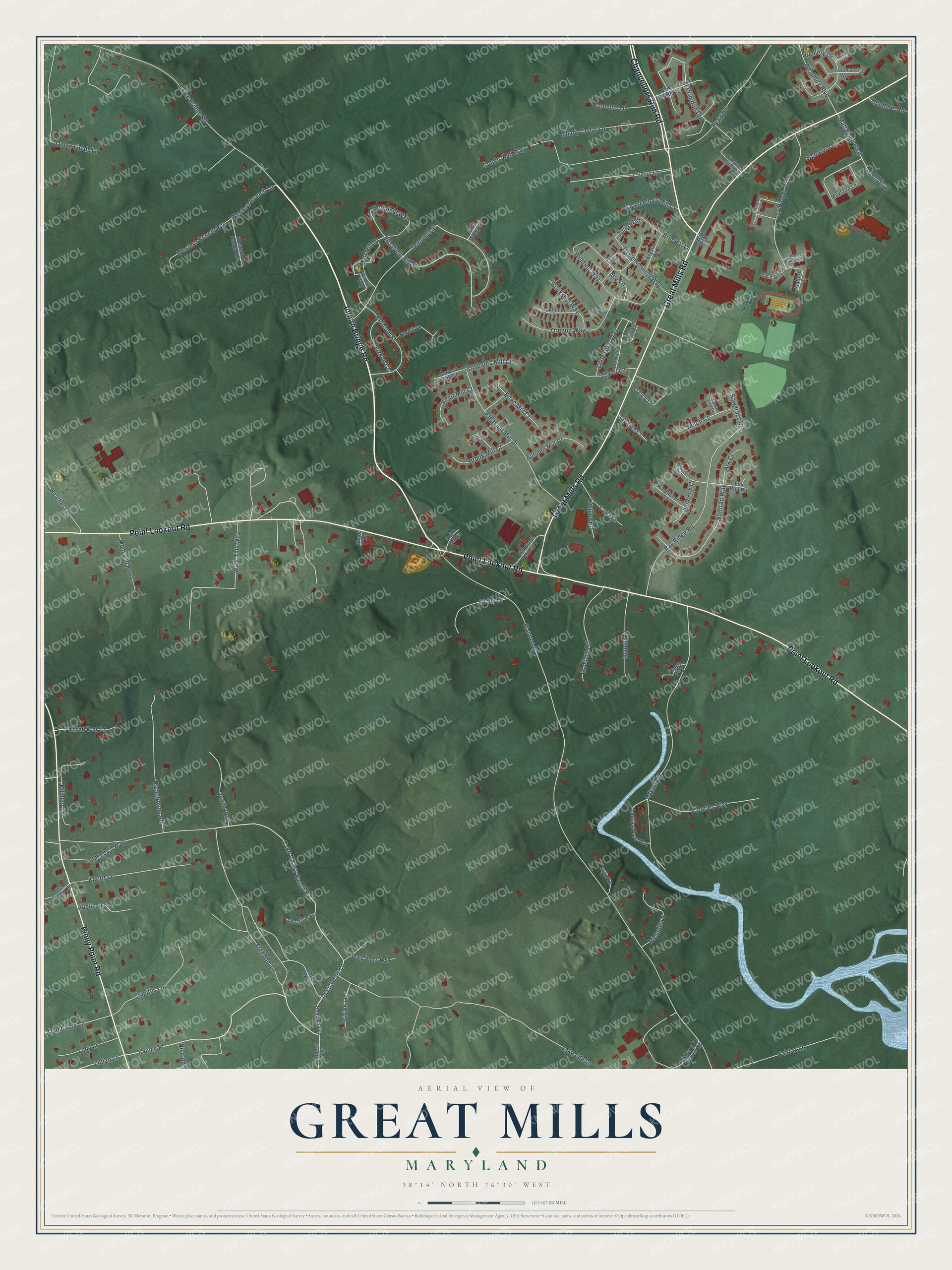
Names on this map
These names are printed on this map.
Streets and roads: Indian Bridge Road, Chancellors Run Road, Point Lookout Road, Great Mills Road, Piney Point Road, Freedom Lane, Deep Wells Lane, Irvings Place, Take It Easy Ranch Road, Lillian Lane, Elizabeth Hill Street, Tennyhill Street.
More street names, A to Z
Ace Lane, Adkins Road, Arizona Lane, Ark Court, Austin Lane, Autumn Mill Court, Bay Ridge Road, Bethfield Way, Bethson Street, Bridgett Lane, Brook Mill Court, Buck Redman Road, Buckshot Way, Calla Lane, Carmen Woods Drive, Carver School Boulevard, Cecil Mill Court, Chancellors Mill Court, Charles Way, Cherry Lane, Combs Aud Way, Coombs Lane, Darcy Lane, Deepwell Lane, Deep Wells Way, Edge Mill Court, Fairfax Lane, Flat Iron Road, Flour Mill Court, Fox Chase Drive, Fox Hill Drive, Fox Run Road, Fox Wood Lane, Goddard Road, Govenors Mill Court, Great Mills Court, Greystone Lane, Harvest Mill Court, Heather Lane, Herman Lane, Highway To Heaven Lane, Indian Way, Jay Dee Court, Joe Baker Court, Jubliee Way, Ketch Court, Killdeer Lane, Kingfisher Court, Knotts Drive, Krystal Lane, Lady Lane, Lakeside Lane, Langley Park Way, Langley Road, Lexington Drive, Lexwood Court, Lex Woods Drive, Little Girls Way, Lizmill Way, Lizson Court, Lucca Way, Maria Way, Mattapani Boulevard, Mayfaire Lane, Megby's Way, Michelle Drive, Mom and Pop Lane, Norhill Lane, Old Great Mills Road, Onion Fields Lane, Oregon Way, Pegg Road, Pioneer Way, Pleasant Mill Drive, Poppys Way, Premery Drive, Quade Way, Quatman Road, Quiet Acre Lane, Raceground Road, Radford Lane, Robert Eliff Place, Ronnie Lane, Ryan Lane, Saint Marys, Sawgrass Drive, Shady Cedar Lane, Shady Drive, Shady Lane, Sherier Way, Signature Lane, Skipjack Court, Skipjack Drive, Smiths Lane, Summer Lane, Sunshine Lane, Three Way Lane, Tower Lane, Tri Community Way, Tulip Way, Vision Lane, Walk This Way, Westbury Boulevard, Western Branch Lane, Western Branch Run, Western Ranch Road, Winding Way, Wise Road, Wolftrap Way.
See it on a wall
The Great Mills map as a framed print. Swipe for more.


This beautifully detailed map of Great Mills makes an attractive addition to your office, library, or den, and it can even be used to teach children the geography and history of the area. It also makes a great gift for anyone who grew up in Great Mills or moved away. When you’re done exploring, click here to get your copy of the Great Mills map.