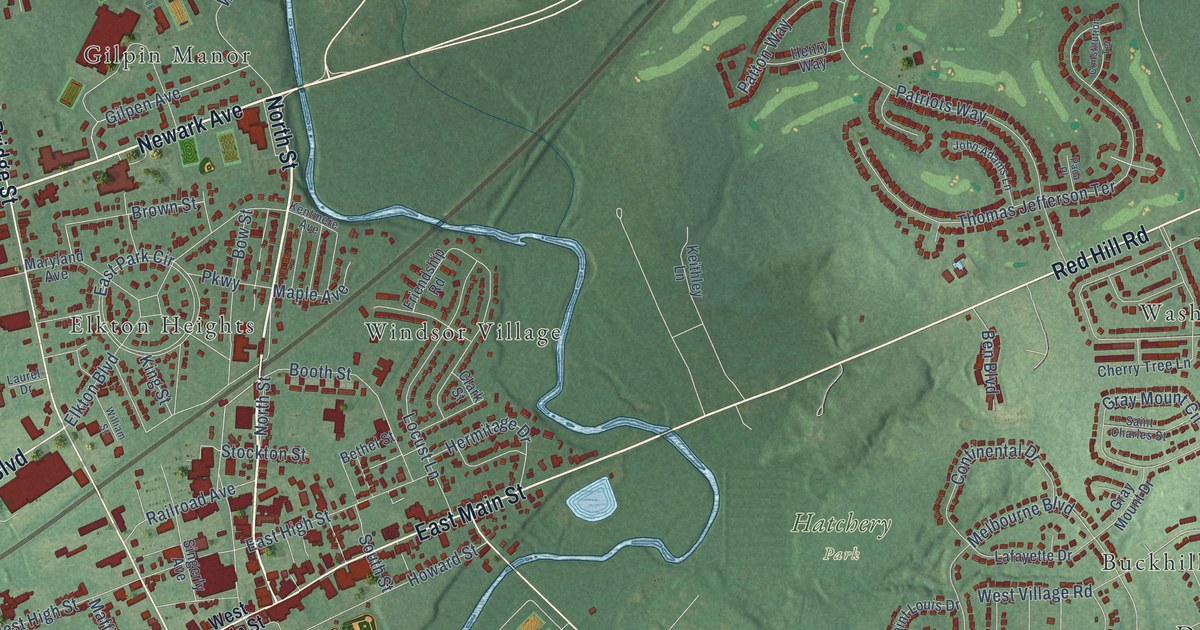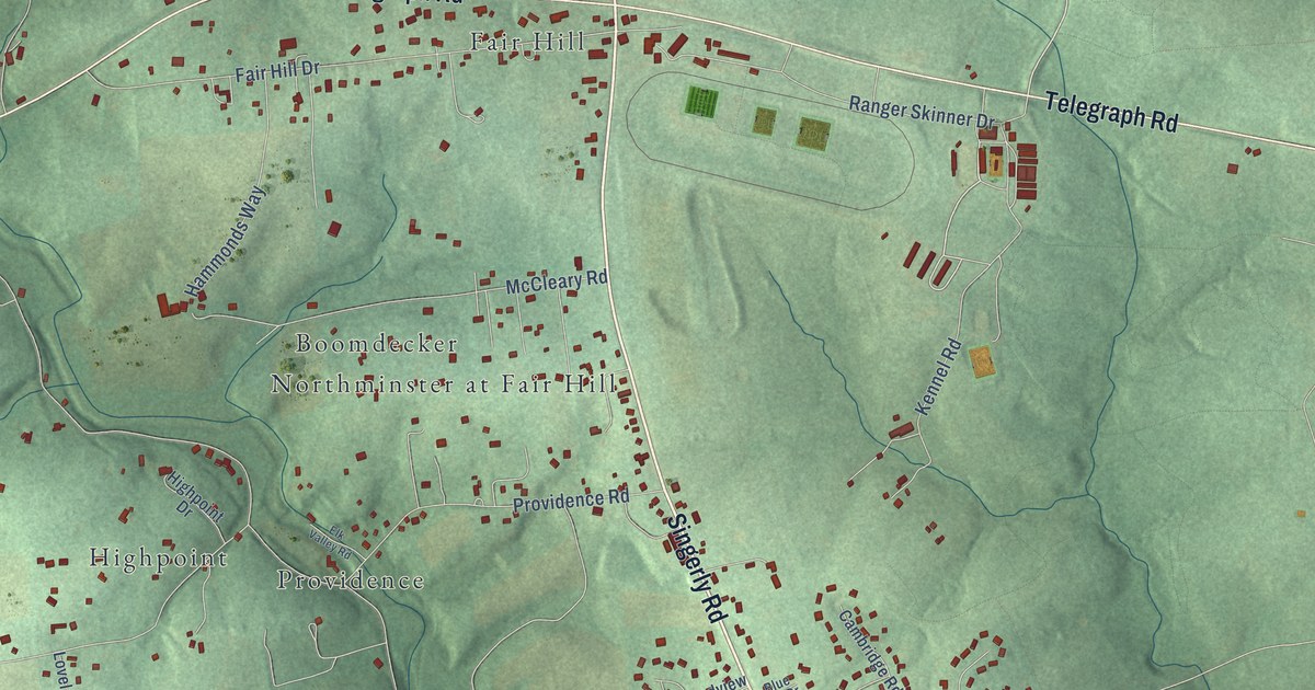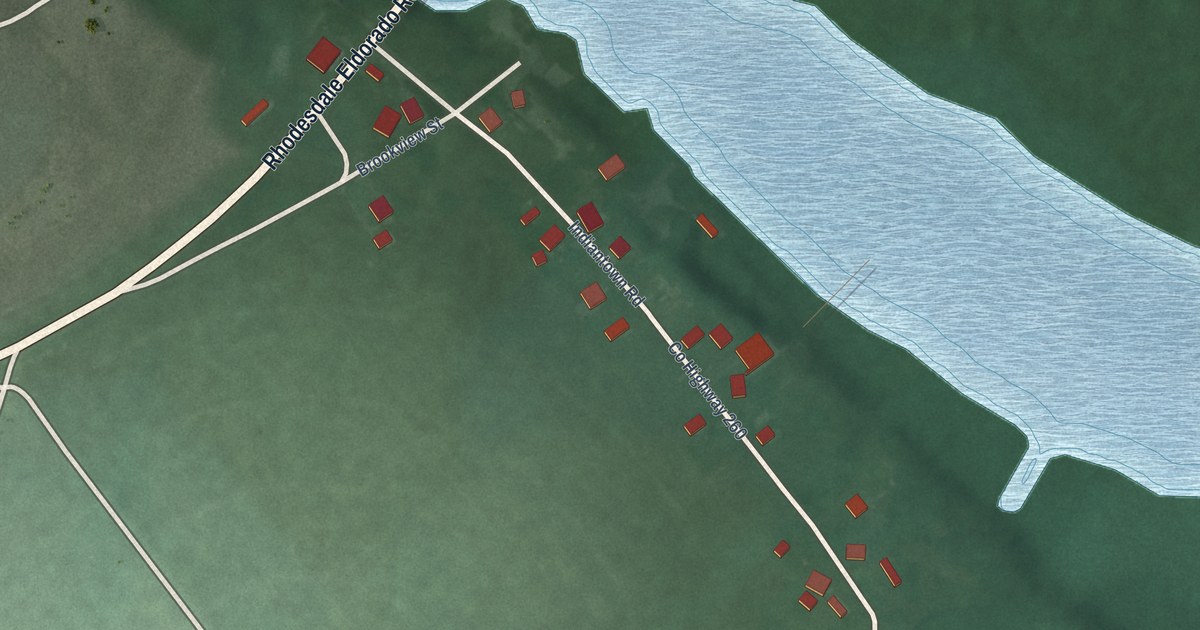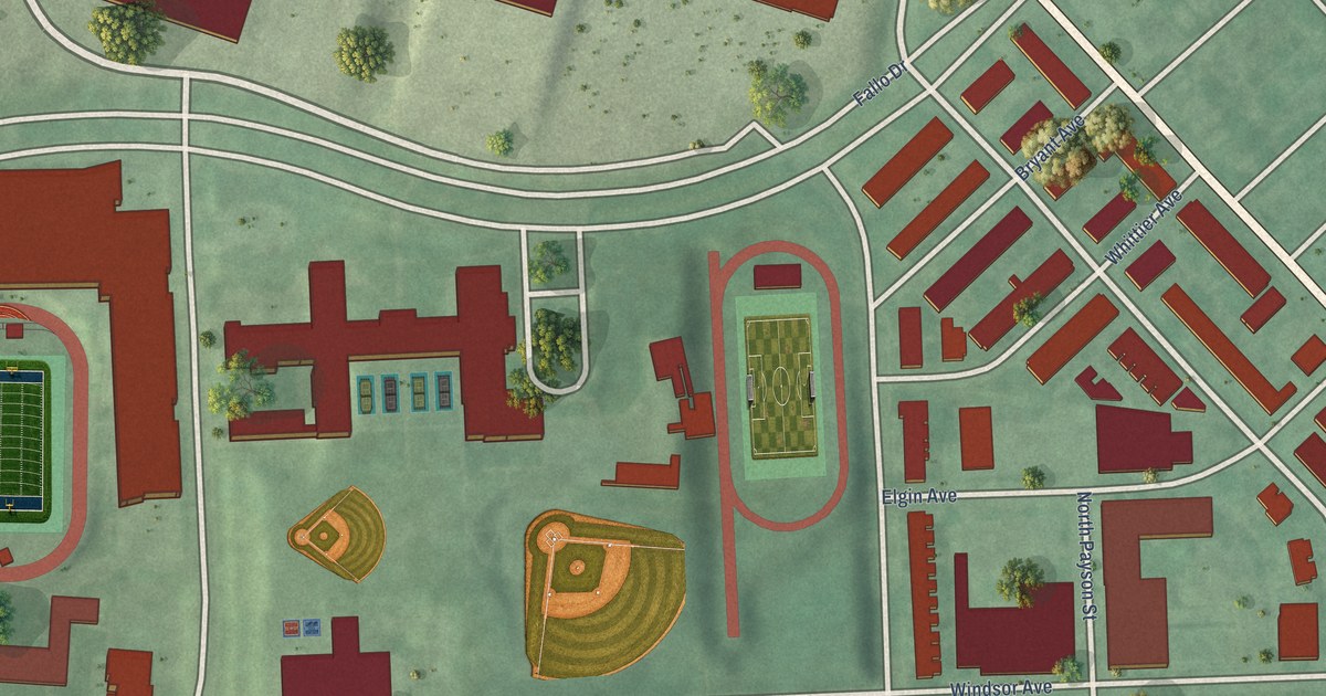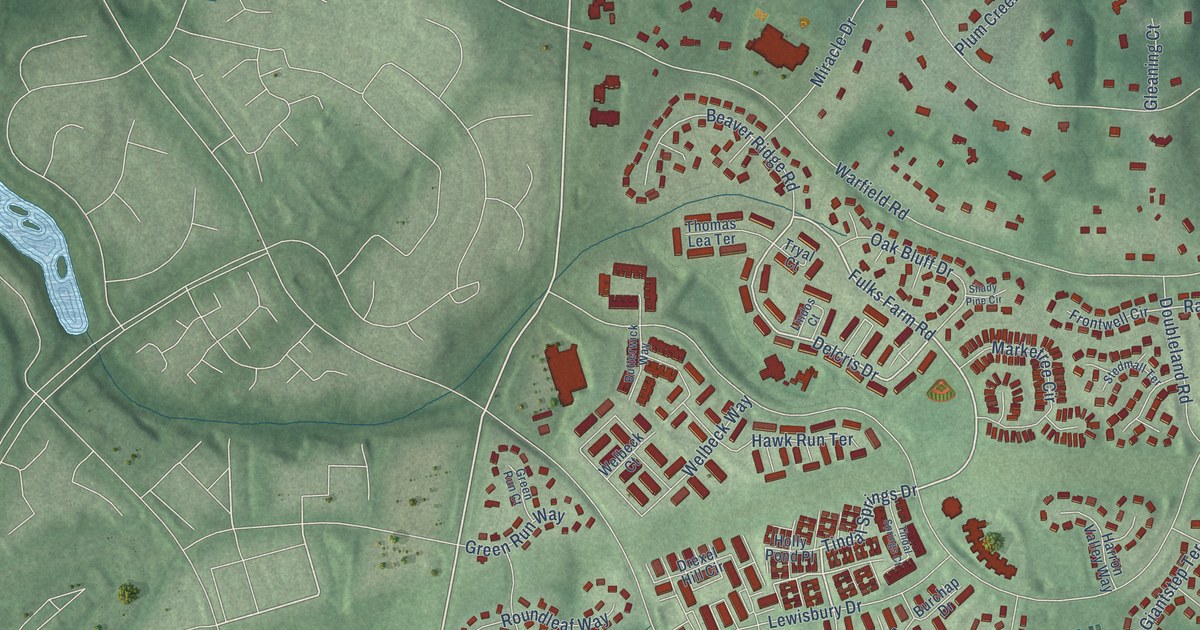
This beautifully detailed map of Goshen, Maryland was created in 2026 using aerial imagery combined with modern topographical, census, street and landmark data. It’s a one-of-a-kind view of Goshen that combines accurate data with a vintage aesthetic. The map shows every building in its true location, many of the roads carry their names, and the shaded topographic relief shows the shape of the land.
Explore an aerial view of Goshen, Maryland
On the map you’ll find Stewart Town, Prathertown, and Charlene, along with Goshen Road, Brink Road, Fulks Farm Road, Tindal Springs Drive, Delcris Drive, Warfield Road, East Village Avenue, Snouffer School Road, Plum Creek Drive, and more. If you look closely you can even find your house accurately drawn in its correct location. Zoom in on the preview to look for yours.
Take a closer look at the Goshen map
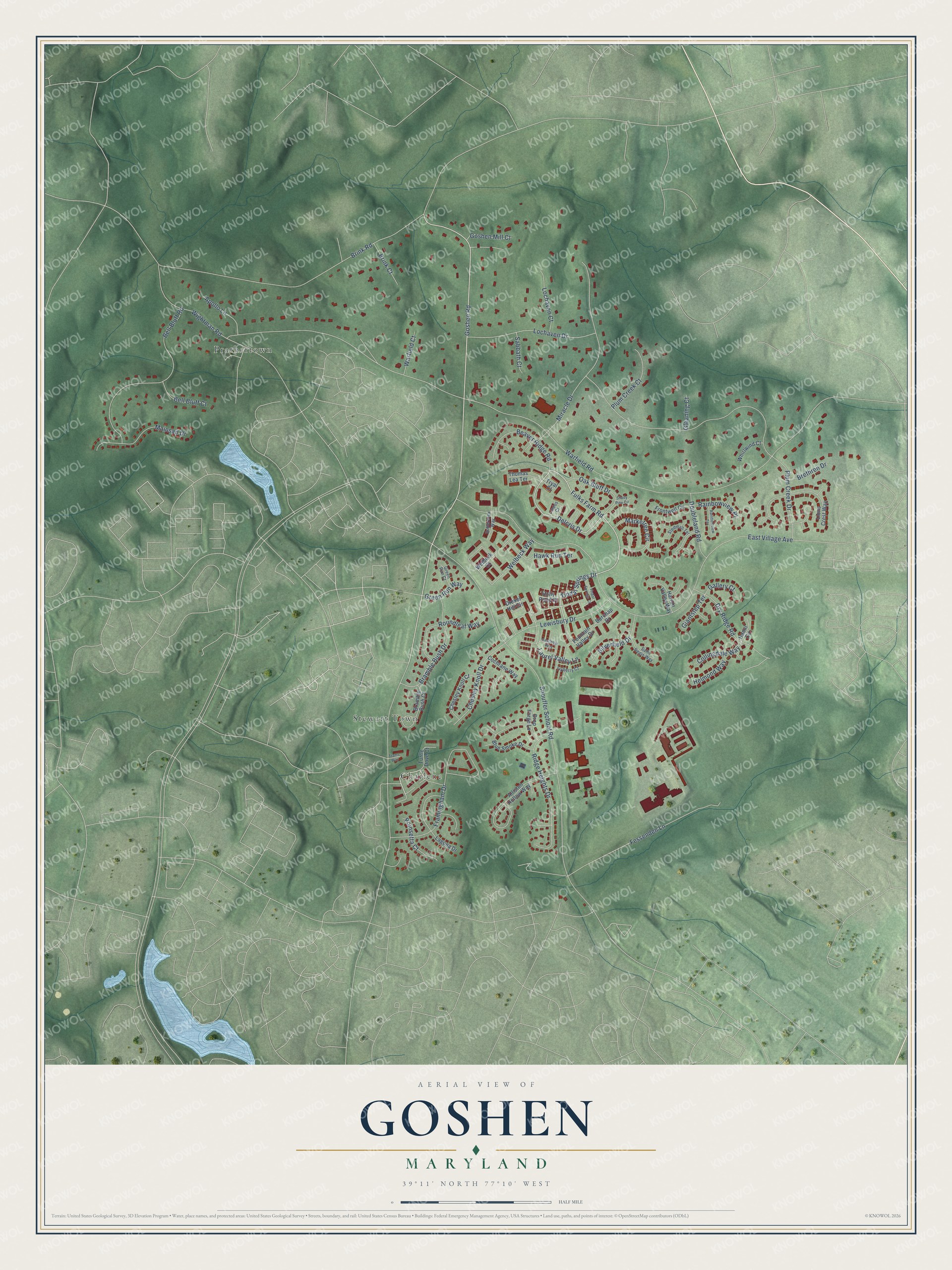
Names on this map
These names are printed on this map.
Places: Stewart Town, Prathertown and Charlene.
Streets and roads: Goshen Road, Brink Road, Fulks Farm Road, Tindal Springs Drive, Delcris Drive, Warfield Road, East Village Avenue, Snouffer School Road, Plum Creek Drive, Framingham Drive, Bell Bluff Road, Miracle Drive.
More street names, A to Z
Alliston Hollow Way, Apollo Lane, Beaver Ridge Road, Bell Bluff Court, Blue Smoke Drive, Bramble Bush Court, Bramble Bush Drive, Brethren Drive, Brink Court, Burchap Drive, Butterwick Way, Castlebar Way, Chesley Knoll Court, Chesley Knoll Drive, Cochrane Way, Collingdale Way, Doubleland Road, Drexel Hill Circle, Drop Forge Lane, Dry Ridge Road, Fessenden Lane, Fountain Valley Drive, Frontwell Circle, Gallery Court, Giantstep Terrace, Gleaning Court, Goshen Mill Court, Green Run Court, Green Run Way, Hamil Circle, Harron Valley Way, Hawk Run Terrace, Helmond Way, Holly Pond Place, Ivyberry Court, Laguna Drive, Laurel Valley Lane, Lewisbury Drive, Lindos Court, Lions Crest Way, Lochaven Court, Lochaven Drive, Mainsail Drive, Marketree Circle, Oak Bluff Drive, Plum Creek Court, Poinsetta Court, Rainbowview Place, Rainbowview Terrace, Ridge Heights Drive, Roundleaf Way, Sabbath Court, Saint Regis Way, Shady Pine Circle, Silverfield Drive, Stedmall Terrace, Thomas Lea Terrace, Tindal Springs Court, Trams Way, Tryal Court, Turtle Dove Court, Warfield Court, Welbeck Court, Welbeck Way, Whirlwind Court, Wightman Road.
See it on a wall
The Goshen map as a framed print. Swipe for more.


This beautifully detailed map of Goshen makes an attractive addition to your office, library, or den, and it can even be used to teach children the geography and history of the area. It also makes a great gift for anyone who grew up in Goshen or moved away. When you’re done exploring, click here to get your copy of the Goshen map.