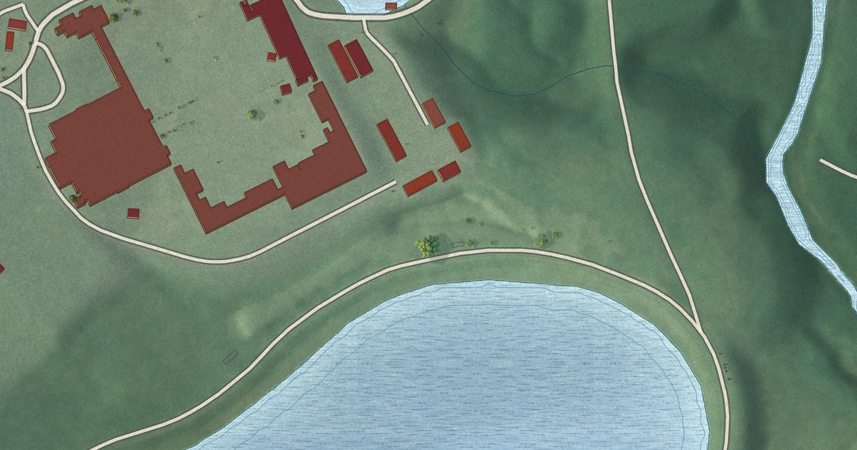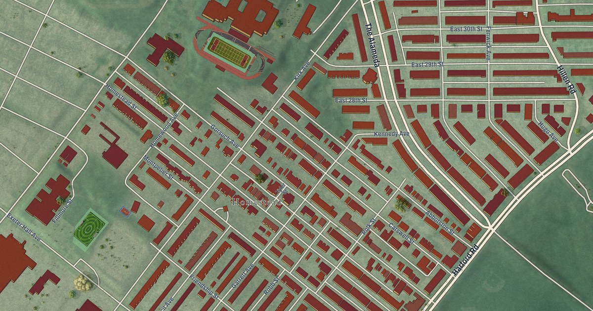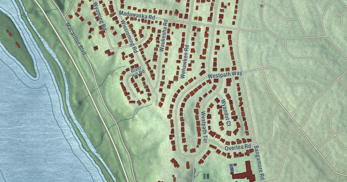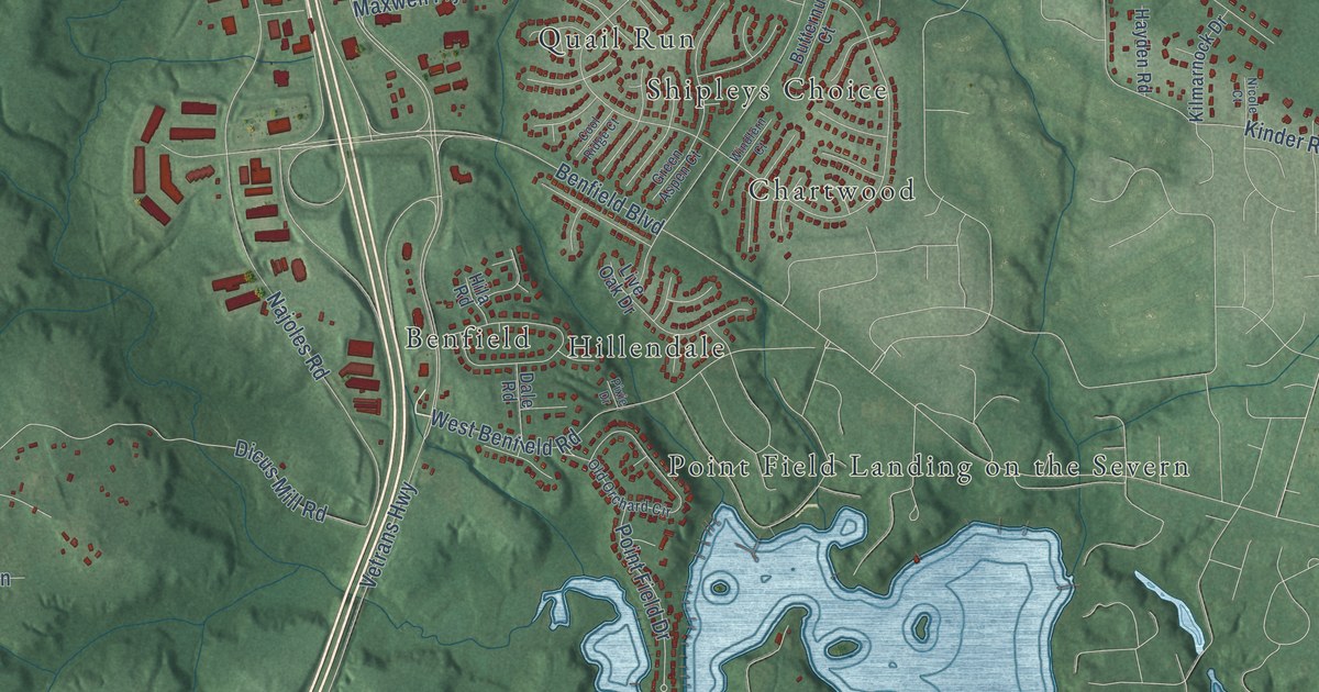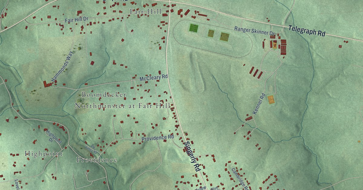
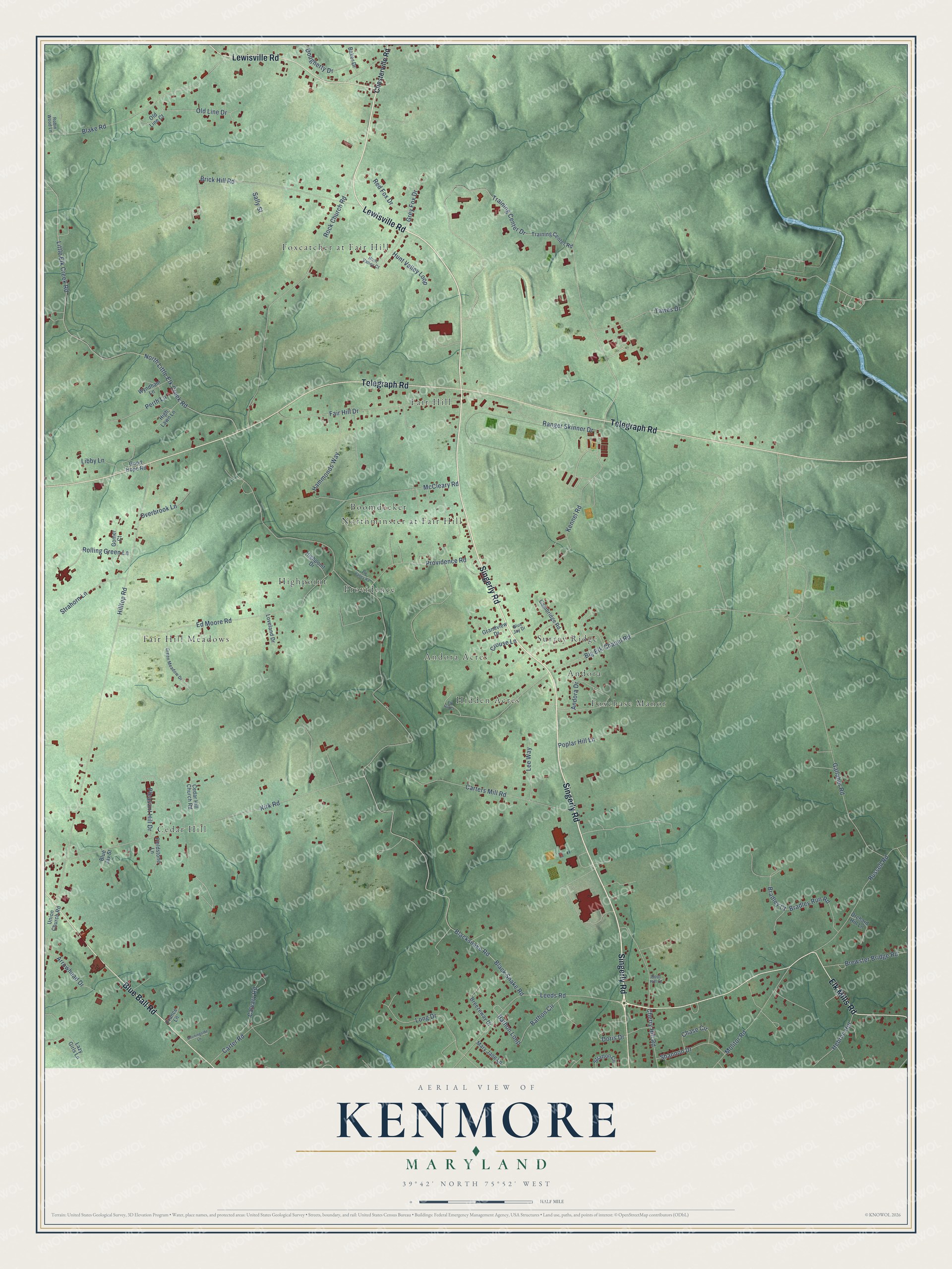
This beautifully detailed map of Kenmore, Maryland was created in 2026 using aerial imagery combined with modern topographical, census, street and landmark data. It’s a one-of-a-kind view of Kenmore that combines accurate data with a vintage aesthetic. The map shows every building in its true location, many of the roads carry their names, and the shaded topographic relief shows the shape of the land.
Explore an aerial view of Kenmore, Maryland
On the map you’ll find Cedar Hill, Fair Hill, Hidden Acres, Fair Hill Meadows, Boomdecker, Foxcatcher at Fair Hill, Highpoint, Surrey Ridge, Foxchase Manor, Providence, Andora Acres, Andora, and more. If you look closely you can even find your house accurately drawn in its correct location. Zoom in on the preview to look for yours.
Take a closer look at the Kenmore map
Names on this map
These names are printed on this map.
Places: Cedar Hill, Fair Hill, Hidden Acres, Fair Hill Meadows, Boomdecker, Foxcatcher at Fair Hill, Highpoint, Surrey Ridge, Foxchase Manor, Providence, Andora Acres, Andora and Northminster at Fair Hill.
Streets and roads: Lewisville Road, Singerly Road, Telegraph Road, Elk Mills Road, Blue Ball Road, Leeds Road, Bathon Loop, Bradley Court, Kirk Road, Little Elk Creek Road, Hilltop Road, Gallaher Road.
More street names, A to Z
Andora Drive, Arrowhead Drive, Baker Drive, Bathon Circle, Big Elk Chapel Road, Black Snake Road, Blacksnake Road, Blake Road, Blue Jay Drive, Blue Jay Street, Boot Hill Court, Bradley Run Road, Breezeway Drive, Brewster Bridge Road, Brick Hill Road, Calvary Road, Cambridge Road, Carter Road, Carters Mill Road, Cedar Hill Church Road, Chase Circle, Cherry Hill Road, Chesterville Road, Crouse Lane, Doris Drive, Dougherty Drive, Ed Moore Road, Elk Hill Court, Elk Valley Road, Fair Hill Drive, Fieldstone Lane, France Lane, Gomer Court, Good Hope Road, Grandview Drive, Green Meadow Drive, Grey Fox Drive, Hammonds Way, Hebron Hill, High Lawn Lane, Highpoint Drive, Hunt Valley Court, Hunt Valley Loop, Kennel Road, Lazy Girls Lane, Lee Way, Libby Lane, Long Drive, Loveland Drive, Mary Jane Lane, McCleary Road, Molitor Road, Morningside Lane, North Little Elk Creek Road, Old Line Court, Old Line Drive, Orchard Hill Lane, Overbrook Lane, Perth Lane, Pleasant Hill Drive, Poplar Hill Lane, Providence Road, Ranger Skinner Drive, Red Fox Drive, Robin Wood Lane, Rock Church Road, Rolling Green Lane, Russell Road, Sally Street, Shannon Drive, Strahorn Lane, Stratton Circle, Tawes Drive, Training Center Drive, Training Center Road, Union Church Road, Wyndham Lane.
See it on a wall
The Kenmore map as a framed print. Swipe for more.


This beautifully detailed map of Kenmore makes an attractive addition to your office, library, or den, and it can even be used to teach children the geography and history of the area. It also makes a great gift for anyone who grew up in Kenmore or moved away. When you’re done exploring, click here to get your copy of the Kenmore map.