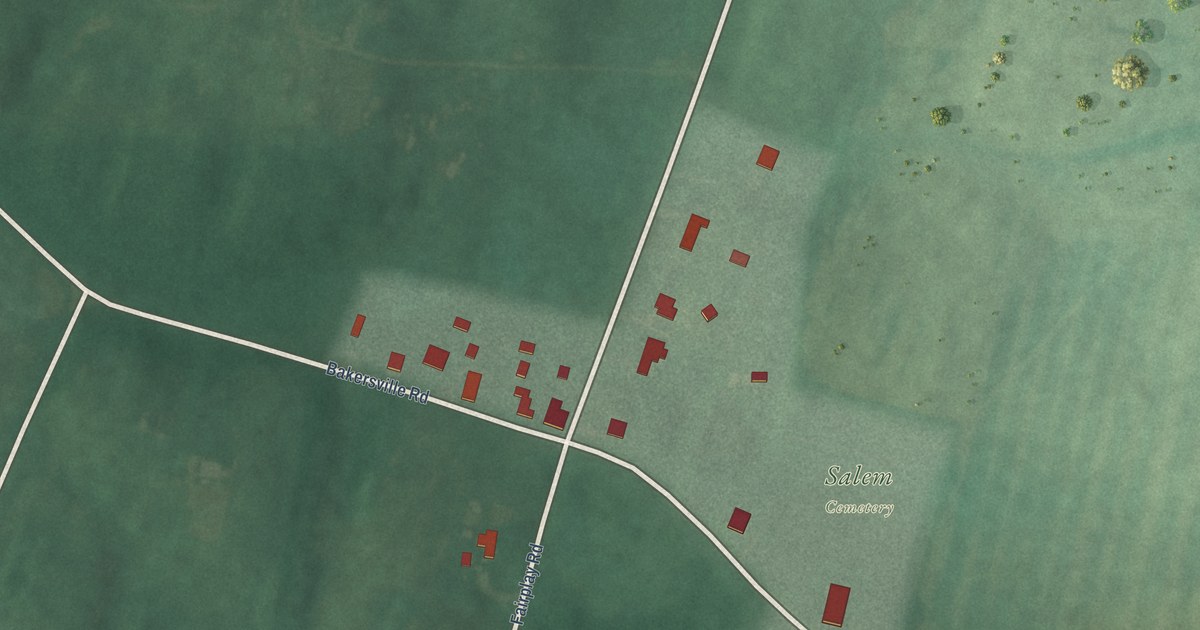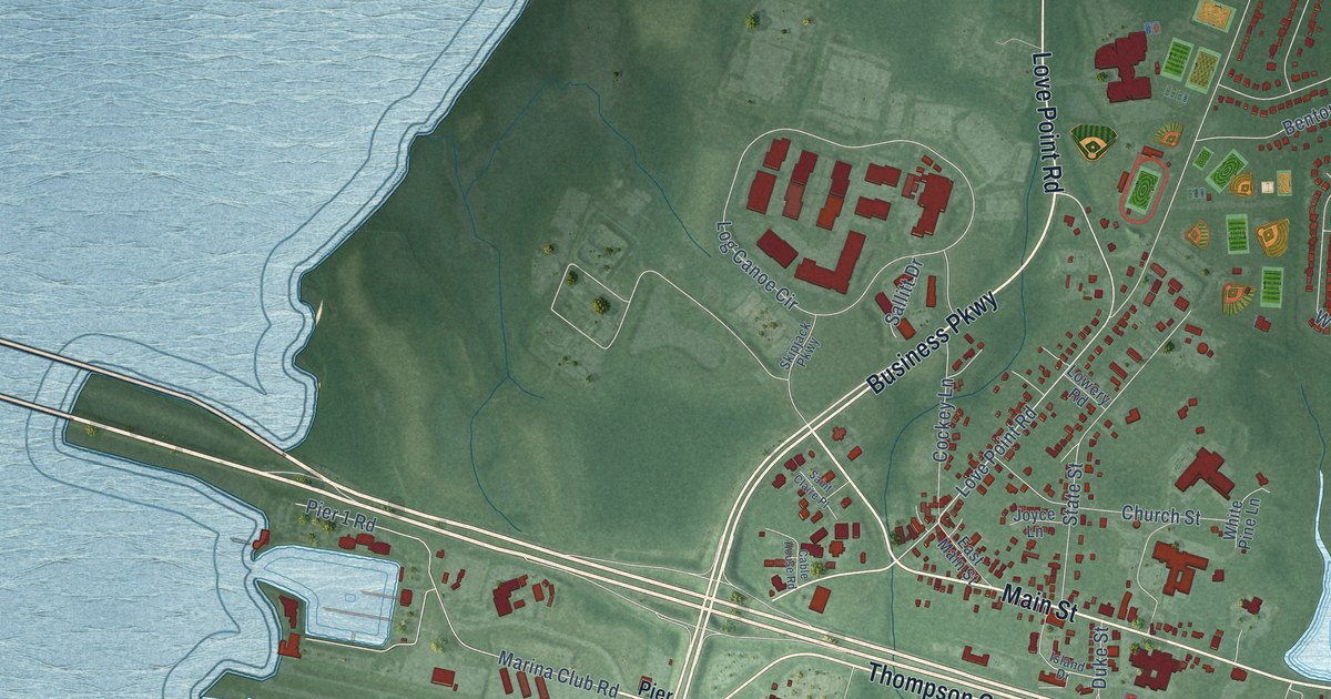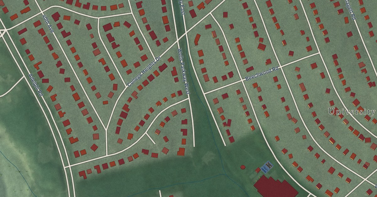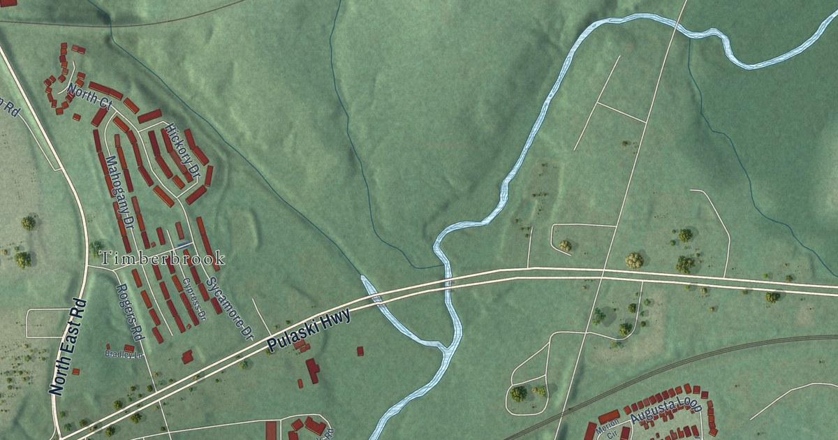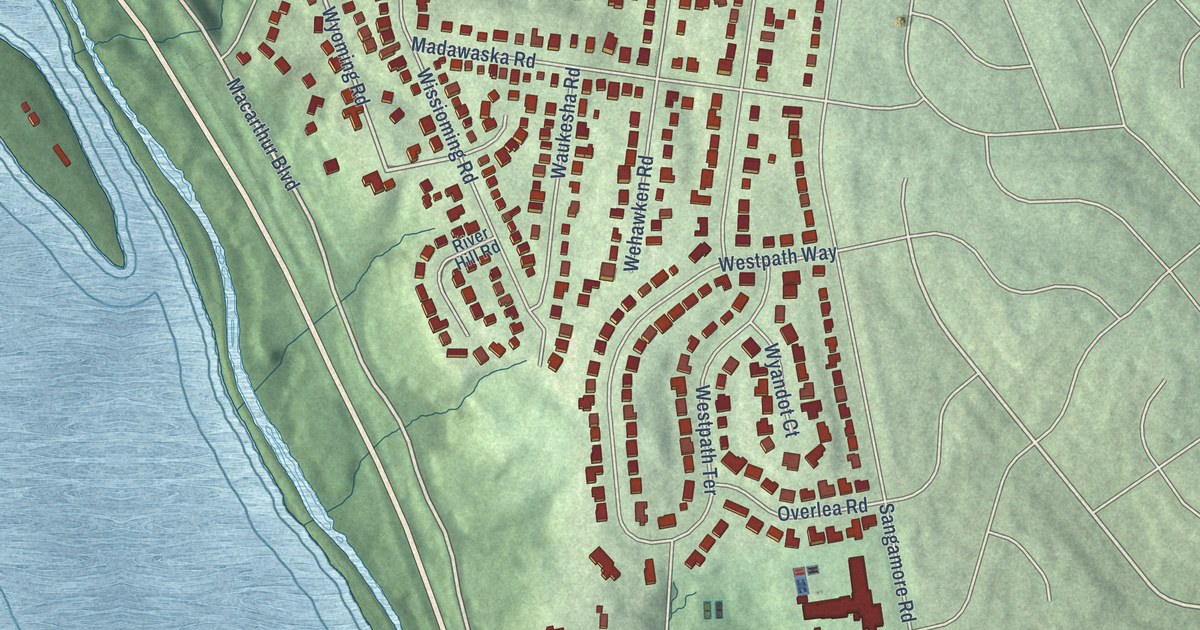
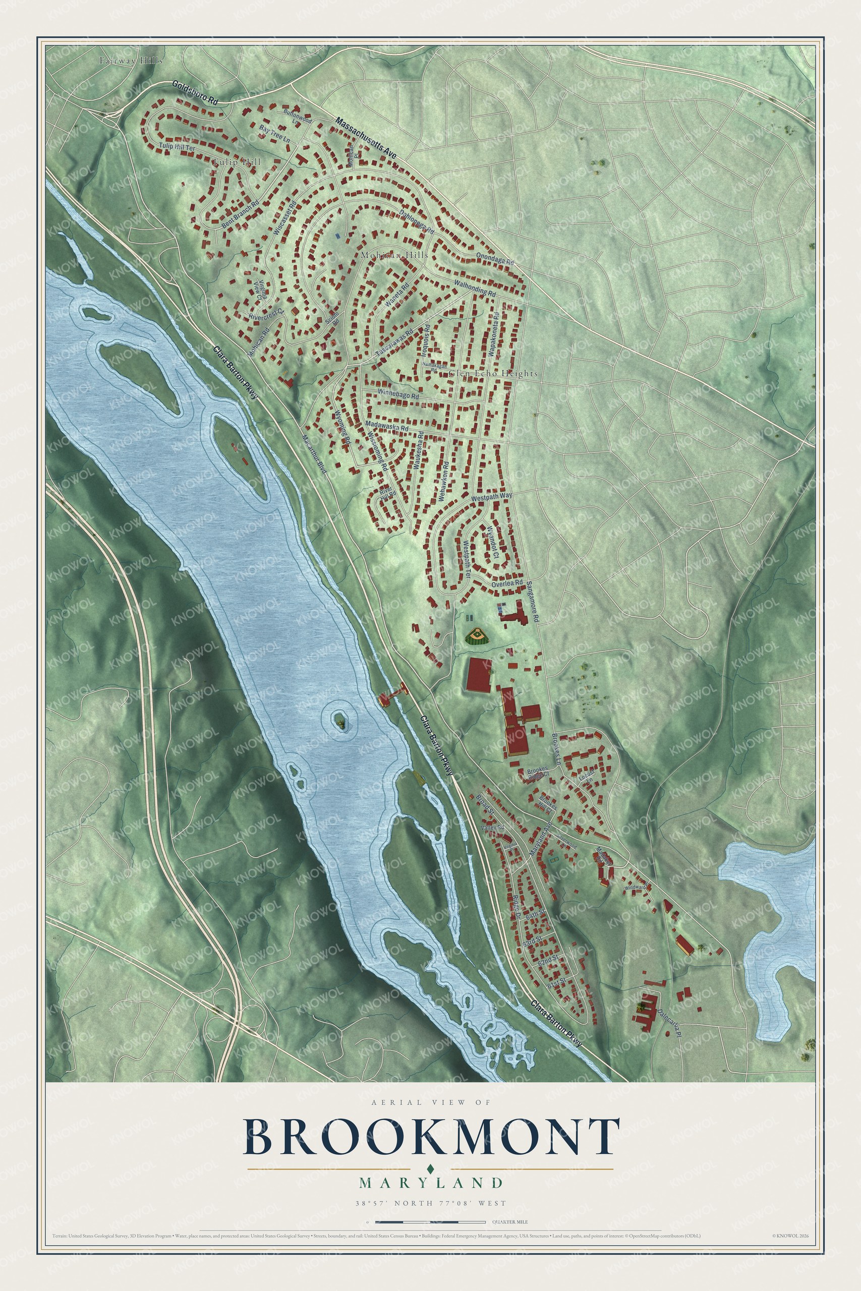
This beautifully detailed map of Brookmont, Maryland was created in 2026 using aerial imagery combined with modern topographical, census, street and landmark data. It’s a one-of-a-kind view of Brookmont that combines accurate data with a vintage aesthetic. The map shows every building in its true location, many of the roads carry their names, and the shaded topographic relief shows the shape of the land.
Explore an aerial view of Brookmont, Maryland
On the map you’ll find Tulip Hill, Glen Echo Heights, Mohican Hills, and Fairway Hills, along with Clara Barton Parkway, Massachusetts Avenue, Goldsboro Road, Bent Branch Road, Macarthur Boulevard, Tuscarawas Road, Wyoming Road, Sangamore Road, and more. Brookmont sits about 2 miles southwest of Somerset, 2 miles west of Friendship Heights Village and 2 miles southeast of Cabin John. If you look closely you can even find your house accurately drawn in its correct location. Zoom in on the preview to look for yours.
Did You Know?
Brookmont was laid out in 1925 on a hill between the C&O Canal and Little Falls Branch, along the Cabin John streetcar line from Washington. Its lots were only twenty feet wide, but each house needed at least forty feet, so every buyer had to buy several lots. The streetcars stopped running in 1960, and their old route became a grassy strip running through Brookmont. That's from the Maryland Historical Trust.
Take a closer look at the Brookmont map
Names on this map
These names are printed on this map.
Places: Tulip Hill, Glen Echo Heights, Mohican Hills and Fairway Hills.
Streets and roads: Clara Barton Parkway, Massachusetts Avenue, Goldsboro Road, Bent Branch Road, Macarthur Boulevard, Tuscarawas Road, Wyoming Road, Sangamore Road, Broad Street, Walhonding Road, Wiscasset Road, Mohican Road.
More street names, A to Z
61st Street, 62nd Street, 63rd Street, 64th Street, Bay Tree Lane, Brookes Hill Court, Brookes Lane, Brookes Ridge Court, Buttonwood Lane, Dahlonega Road, Dalecarlia Place, Iroquois Road, Locust Lane, Madaket Road, Madawaska Road, Maryland Avenue, Mohican Place, Namakagan Road, Onondaga Road, Overlea Road, Ridge Drive, Rivercrest Court, River Hill Road, Scioto Road, Silverwood Lane, Tulip Hill Terrace, Valley Road, Virginia Place, Virginia View Court, Waneta Road, Wapakoneta Road, Waukesha Road, Wehawken Road, Westpath Terrace, Westpath Way, Windward Place, Winnebago Road, Wissioming Road, Wyandot Court.
See it on a wall
The Brookmont map as a framed print. Swipe for more.


This beautifully detailed map of Brookmont makes an attractive addition to your office, library, or den, and it can even be used to teach children the geography and history of the area. It also makes a great gift for anyone with Brookmont roots. When you’re done exploring, click here to get your copy of the Brookmont map.