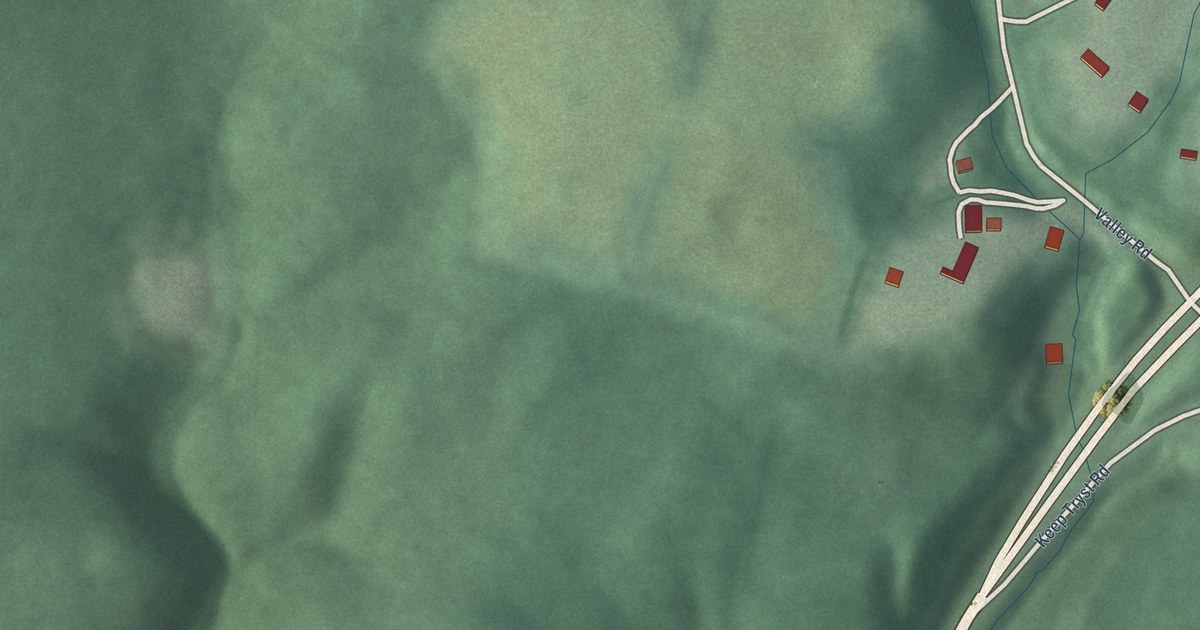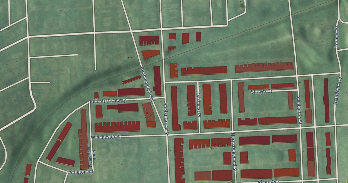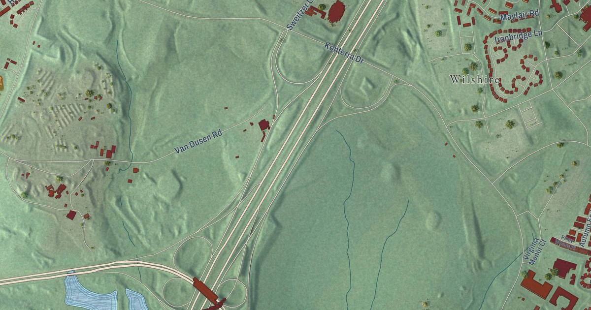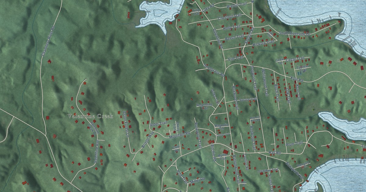
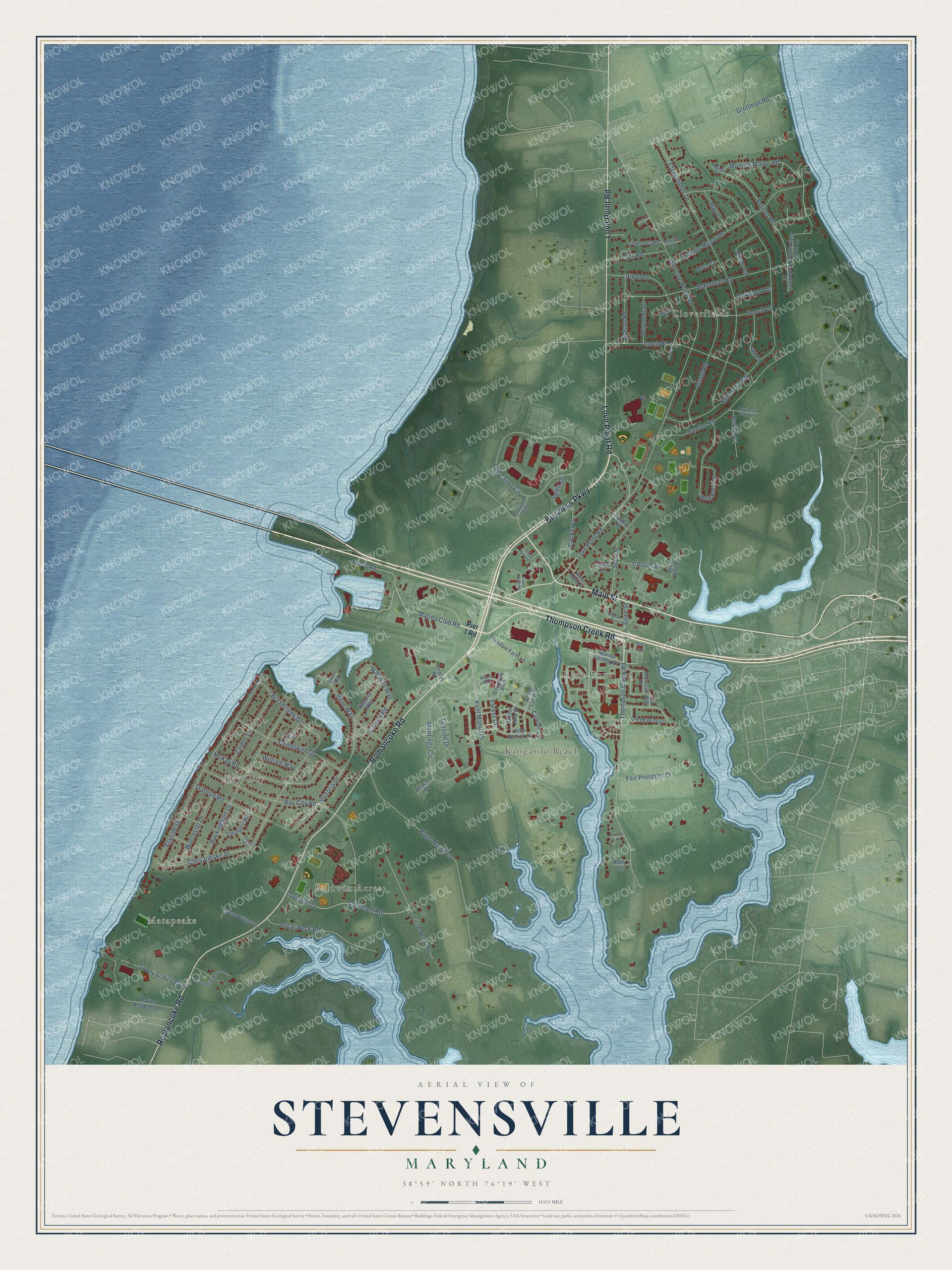
This beautifully detailed map of Stevensville, Maryland was created in 2026 using aerial imagery combined with modern topographical, census, street and landmark data. It's a modern aerial view of Stevensville in Queen Anne's County, Maryland, that combines modern data with a vintage aesthetic. The roads feature printed names, and if you look closely you can find your exact house accurately shown in its correct location.
Explore an aerial view of Stevensville, Maryland
On this map you'll find Matapeake, Cloverfields, Kent Cove, Bay City, Kangaroo Beach, Baldwin Acres, Romancoke Road, Business Parkway, Thompson Creek Road, Main Street, Love Point Road, Monroe Manor Road, and more. Each red shape is a building, so zoom in on the preview and look for yours.
Every town has a first chapter, and Stevensville is no exception. Stevensville took shape after James and Charles Stevens sold their two farms in 1850. A steamboat terminal opened at nearby Love Point in 1866. Farmers and watermen could now ship their produce and seafood to Baltimore, and by 1877 the town had nearly 30 buildings. Railroad service reached Stevensville in 1909 and set off a second building boom. That's from the Maryland Historical Trust.
Stevensville is a community in Queen Anne's County. The Census Bureau counted 7,442 people here in 2020.
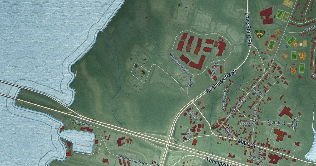
Take a closer look at the Stevensville map
Names on this map
These names are printed on this map.
Places: Matapeake, Cloverfields, Kent Cove, Bay City, Kangaroo Beach and Baldwin Acres.
Streets and roads: Romancoke Road, Business Parkway, Thompson Creek Road, Main Street, Love Point Road, Monroe Manor Road, Petinot Place, Victoria Drive, Old Love Point Road, Kimberly Way, Cloverfields Drive, Blunt Marsh Lane.
More street names, A to Z
Ackerman Court, Ackerman Road, Airport Road, Allison Jane Drive, Alva Court, Anna Carol Drive, Arnold Lane, Avalon Court, Bay City Road, Bayside Drive, Beacon Place, Beech Lane, Benton Court, Benton Road, Broadcreek Drive, Buckingham Drive, Cable House Road, Calvert Road, Camp Wright Lane, Charl Court, Chenowith Drive, Chesapeake Drive, Chesterview Farm Lane, Church Street, Cockey Lane, Conner Drive, Creeks End Lane, Davidson Drive, Davidson Farm Lane, Davidson Road, Davol Road, Dixon Court, Dixon Drive, Duke Street, East Main Street, Ellendale Boulevard, Ellendale Farm Lane, Fair Prospect Court, Friendship Manor Drive, Great Neck Road, Grollman Road, Harris Lane, Irene Way, Island Drive, Jib Way, Johnny Lane, John Patrick Drive, Joyce Lane, Kelly Lane, Kent Manor Drive, Larch Court, Larch Place, Little Lots Road, Little Neck Road, Log Canoe Circle, Lots Road, Lowery Road, Mainsail Drive, Marina Club Road, Marine Academy Drive, Marion Quimby Drive, Mason Road, May Lane, McKay Road, Mikes Way, Moorings Circle, Nichols Manor Drive, Oakwood Lane, Parker Drive, Paul Lane, Petinot Court, Pier 1 Road, Reynolds Drive, Robin Loop, Saint Claire Place, Salisbury Way, Sallitt Drive, Shi Lane, Skipjack Parkway, Sonny Schulz Boulevard, Stafford Road, State Street, Swan Road, Topside Drive, Victoria Way, Wallman Way, Web Foot Lane, White Pine Lane, William Way, Worcester Drive, Zaidee Lane.
See it on a wall
The Stevensville map as a framed print. Swipe for more.


Created by KNOWOL in 2026. The buildings are small red shapes, the roads carry their printed names, and shaded relief shows the shape of the land. The title panel reads "AERIAL VIEW OF STEVENSVILLE, MARYLAND" with 38°59' NORTH 76°19' WEST.
Hang it in the hallway, the office or the cabin, or give it to someone who left Stevensville and still calls it home. Open the preview and look for a street you know. See sizes and frames for the Stevensville map.