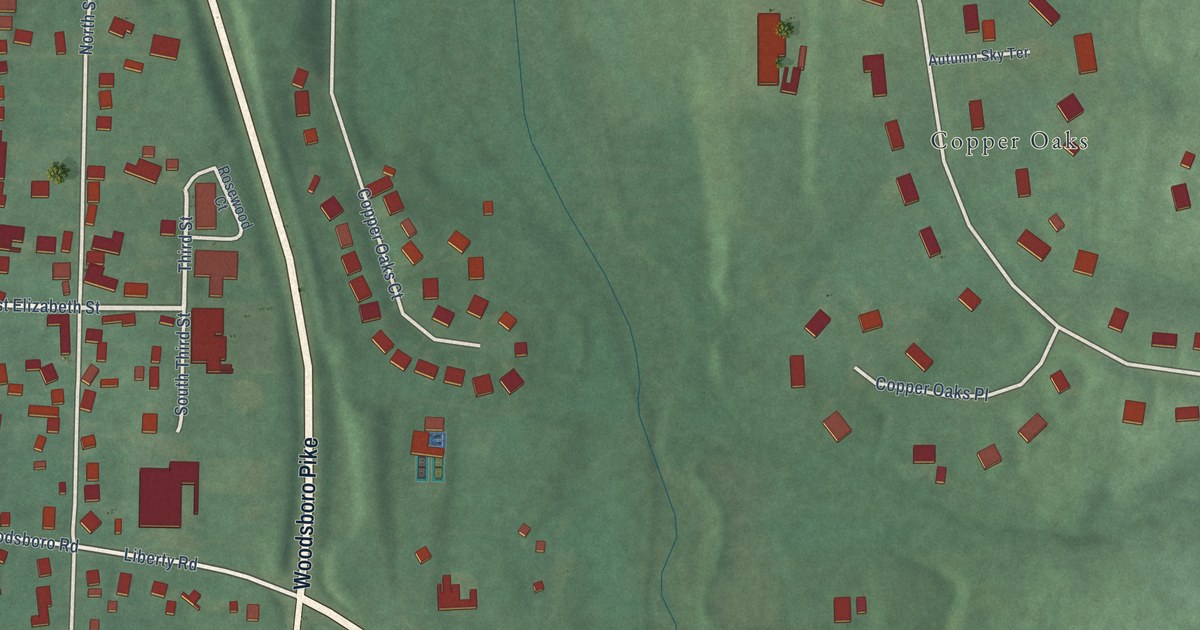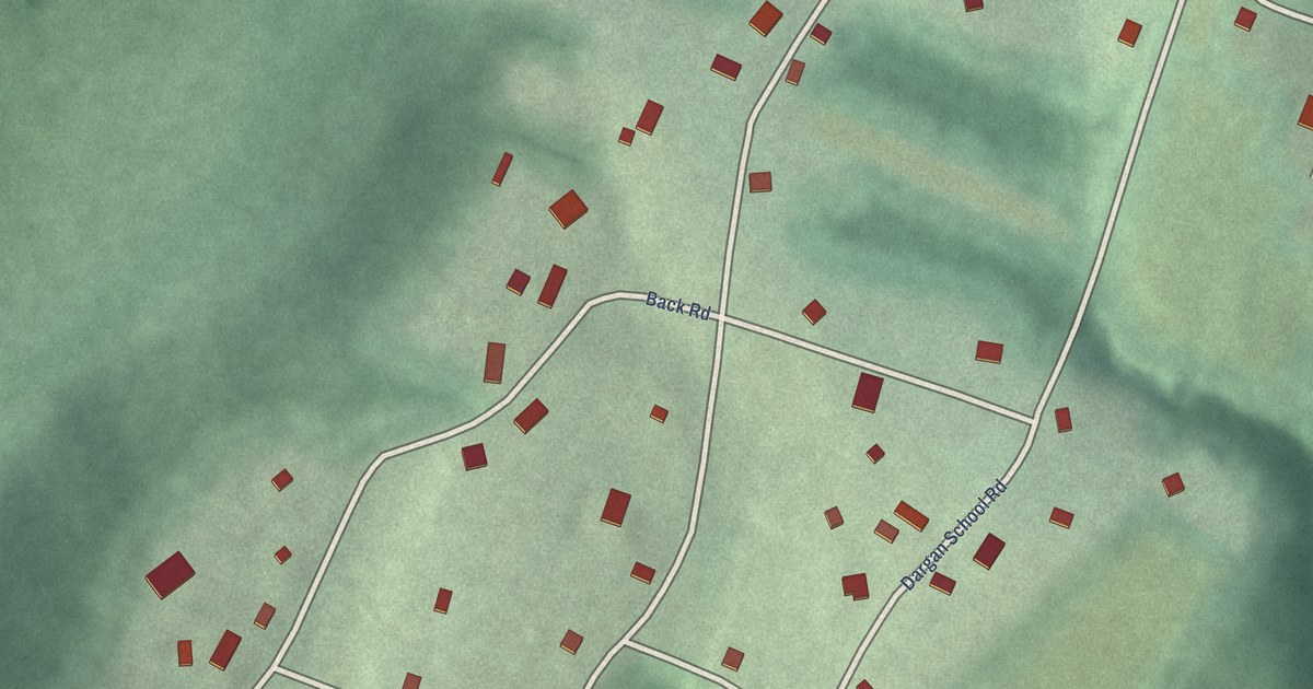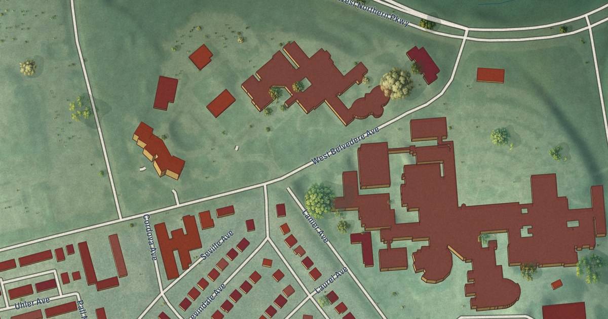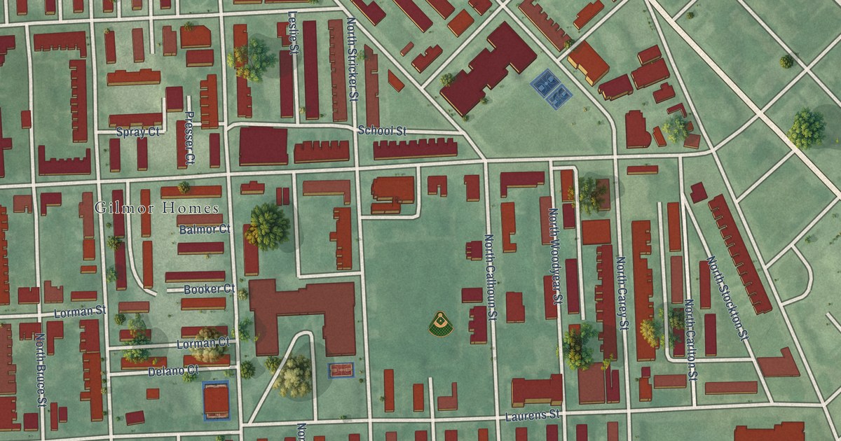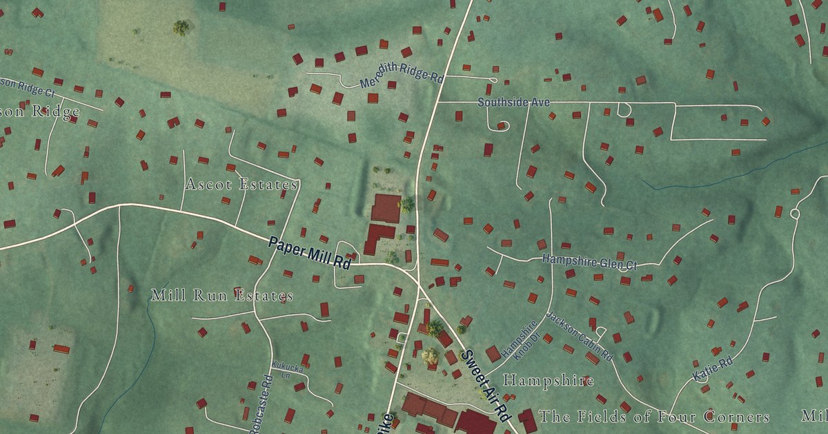
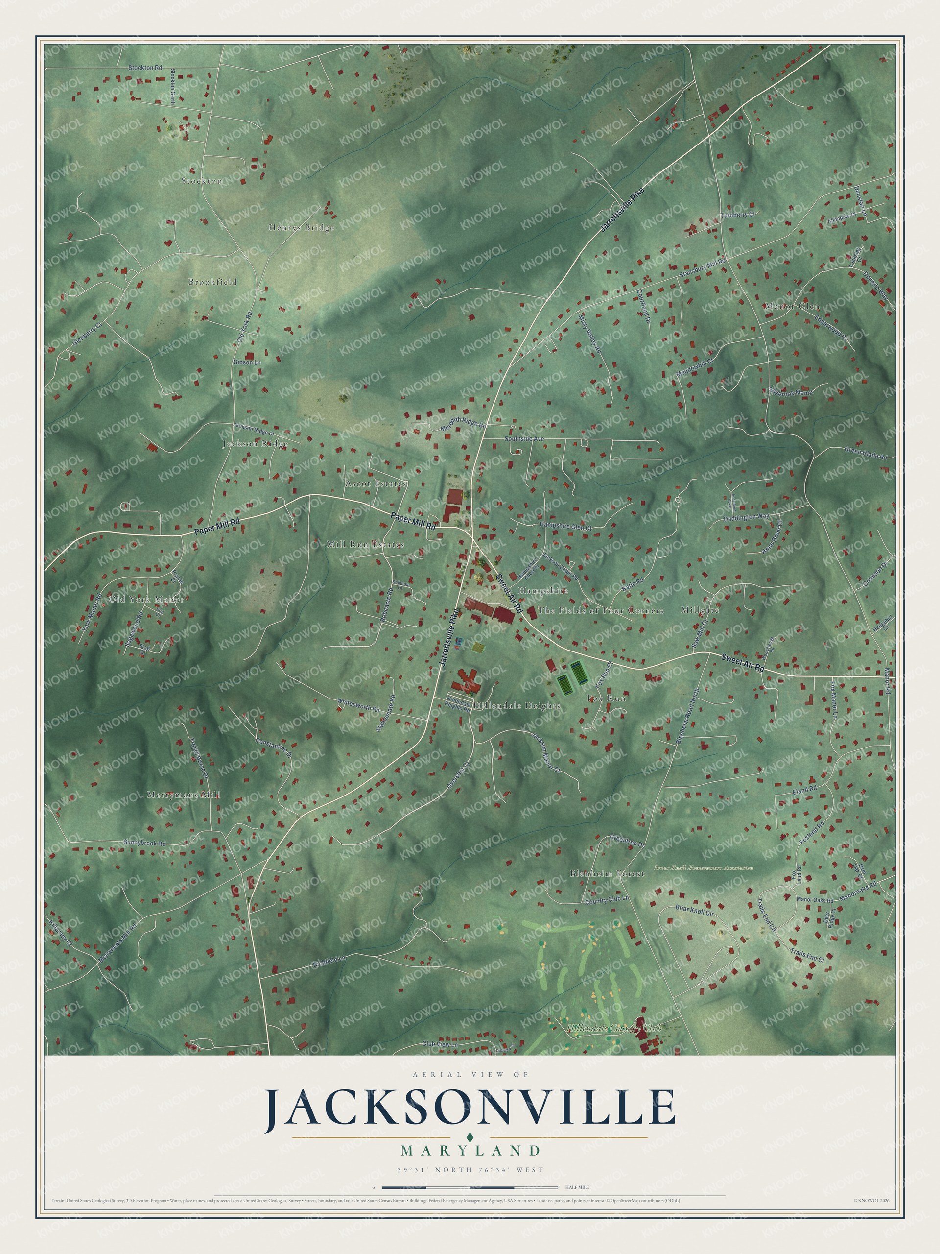
This beautifully detailed map of Jacksonville, Maryland was created in 2026 using aerial imagery combined with modern topographical, census, street and landmark data. It’s a one-of-a-kind view of Jacksonville that combines accurate data with a vintage aesthetic. The map shows every building in its true location, many of the roads carry their names, and the shaded topographic relief shows the shape of the land.
Explore an aerial view of Jacksonville, Maryland
On the map you’ll find Briar Knoll Homeowners Association, Stockton, Manor Glen, Merrymans Mill, Millgate, Jackson Ridge, Old York Manor, Hillendale Heights, Fox Run, Brookfield, Hampshire, Mill Run Estates, and more. If you look closely you can even find your house accurately drawn in its correct location. Zoom in on the preview to look for yours.
Take a closer look at the Jacksonville map
Names on this map
These names are printed on this map.
Places: Briar Knoll Homeowners Association, Stockton, Manor Glen, Merrymans Mill, Millgate, Jackson Ridge, Old York Manor, Hillendale Heights, Fox Run, Brookfield, Hampshire, Mill Run Estates, Blenheim Forest, Ascot Estates, Henrys Bridge, The Fields of Four Corners and Hillendale Country Club.
Streets and roads: Jarrettsville Pike, Sweet Air Road, Paper Mill Road, Overshot Court, Robcaste Road, Constantine Drive, Jackson Manor Court, Manoroaks Road, Hampshire Glen Court, Manor Road, Old York Road, Stansbury Mill Road.
More street names, A to Z
Allendale Court, Anne Brent Court, Anne Brent Garth, Blenheim Road North, Briar Knoll Circle, Club View Lane, Country Club Lane, Courtland Drive, Cremson Drive, Deer Oak Court, Deer Ridge Court, Doe Court, Donerin Way, Duddington Way, Dunstan Lane, Edgarwood Court, Eland Road, Foxland Road, Fox Land Road, Fox Manor Lane, Fox Run Court, Gibson Lane, Glenberry Court, Green Glade Road, Greentree Drive, Hampshire Knob Drive, Hedgehill Lane, Hillendale Heights Road, Jackson Cabin Road, Jackson Ridge Court, Katie Road, Killarney Court, Kukucka Lane, Linkview Court, Locksley Court, Manor Oaks Road, Meadowhill Court, Meredith Ridge Road, Merrymans Mill Road, Misty Valley Road, Prairie Court, Richfield Lane, Sagewood Road, Saw Mill Court, Saybrook Manor, Southside Avenue, Stablemate Road, Stag Court, Stockton Garth, Stockton Road, Sunnybrook Road, Trails End Circle, Trails End Court, Trojan Horse Drive, Turnberry Court, Whitesworth Road, Woodsledge Road, York Manor Road.
See it on a wall
The Jacksonville map as a framed print. Swipe for more.


This beautifully detailed map of Jacksonville makes an attractive addition to your office, library, or den, and it can even be used to teach children the geography and history of the area. It also makes a great gift for anyone with Jacksonville roots. When you’re done exploring, click here to get your copy of the Jacksonville map.