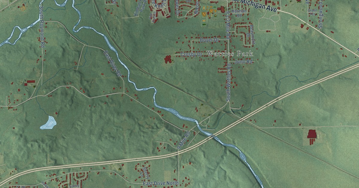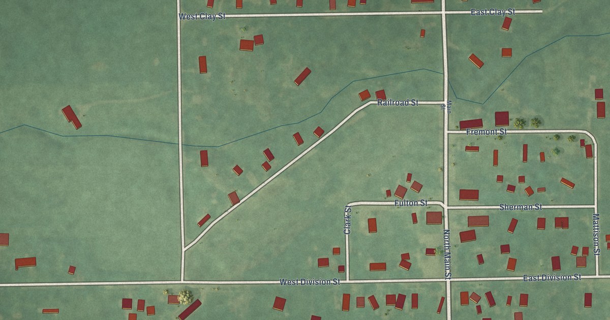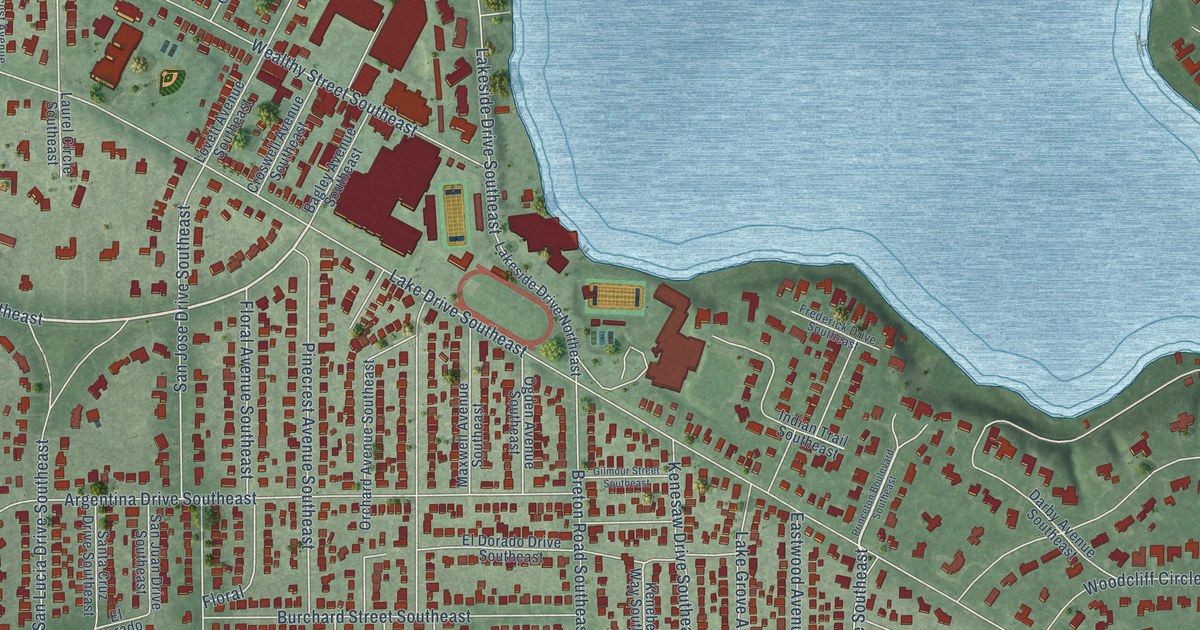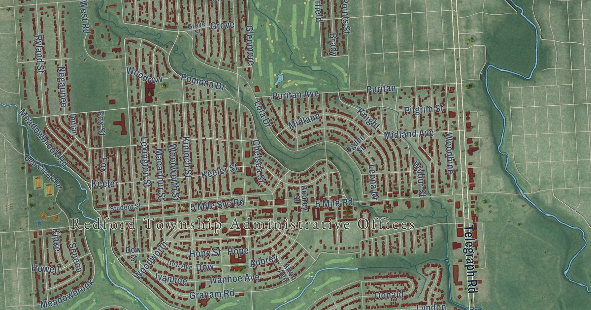
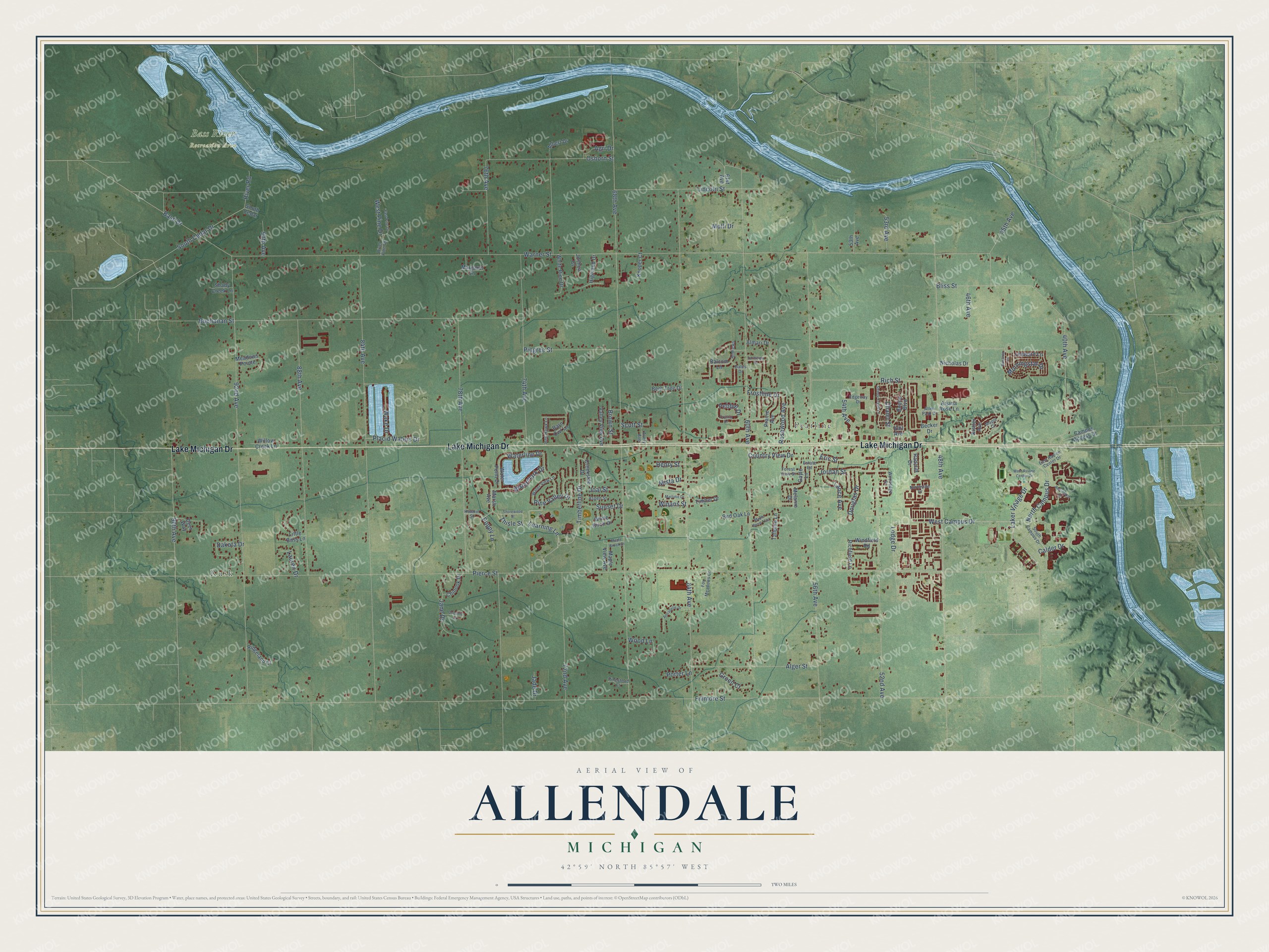
This beautifully detailed map of Allendale, Michigan was created in 2026 using aerial imagery combined with modern topographical, census, street and landmark data. It's a modern aerial view of Allendale in Ottawa County, Michigan, that combines modern data with a vintage aesthetic. The roads feature printed names, and if you look closely you can find your exact house accurately shown in its correct location.
Explore an aerial view of Allendale, Michigan
On this map you'll find Rusk, Pearline, Bass River Recreation Area, Lake Michigan Drive, Learning Lane, Laker Village Drive, Timberline Drive, West Campus Drive, North Campus Drive, South Cedar Drive, Pierce Street, Fillmore Street, and more. Each red shape is a building, so zoom in on the preview and look for yours.
Here is a piece of Allendale history, in the words of the record. The Compendium of Ottawa County puts it this way: "Allendale was first organized March 15, 1849, towns 5 and 6 north, range 14 west, and that part of town 7 south of Grand river."
The Census Bureau counted 26,582 people here in 2020.
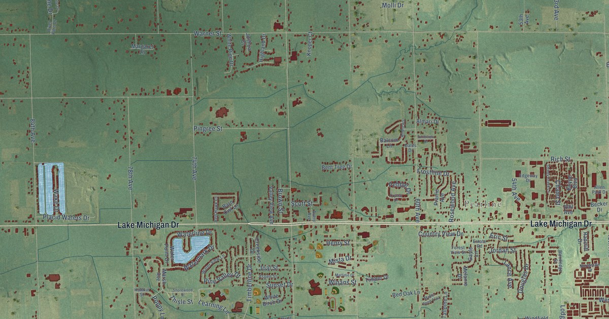
Take a closer look at the Allendale map
Names on this map
These names are printed on this map.
Places: Rusk, Pearline and Bass River Recreation Area.
Streets and roads: Lake Michigan Drive, Learning Lane, Laker Village Drive, Timberline Drive, West Campus Drive, North Campus Drive, South Cedar Drive, Pierce Street, Fillmore Street, Warner Street, 68th Avenue, 60th Avenue.
More street names, A to Z
40th Avenue, 45th Avenue, 46th Avenue, 48th Avenue, 52nd Avenue, 53rd Avenue, 53th Avenue, 54th Avenue, 56th Avenue, 61st Avenue, 64th Avenue, 72nd Avenue, 74th Avenue, 76th Avenue, 78th Avenue, 84th Avenue, 88th Avenue, 90th Avenue, 92nd Avenue, 96th Avenue, Agri Drive, Albert Drive, Alger Street, Allen Park Drive, Almari Drive, Andrews, Annabelle Drive, Arjana Rose Lane, Aspen Street, Avery Avenue, Balcom Lane, Barn Owl Lane, Bass Drive, Becker Drive, Bent Tree Drive, Bliss Street, Boyne Boulevard, Brown Street, Buchanan Street, Calder Drive, Campus Access Drive, Chalet Street, Chinook Drive, Country View Drive, Creekside Drive, Crystal Drive, Dakota Drive, Dales Drive, Deer Way, Douglas Drive, East Pine Drive, East Ravine Center Drive, Edgeway Drive, Eric Street, Estate Road, Farmview Drive, Forest View Street, Fox Meadows Court, Frostline Drive, Gayle Lane, Groen Court, Hawkin Street, Henry Street, Highland Drive, Jade Drive, Jane Drive, Joal Street, Jordan Street, Joshua Court, Kistler Avenue, Knoper Court, Lance Avenue, Lauren Drive, Leeward Lane, Lincoln Street, Little Bass Lane, Lodge Drive, Maple Bend Trail, Maple Brook Drive, Maple Court, Maple View Avenue, Margaret Lane, Marsh Avenue, Martinie Drive, Meadows Pointe, Melanie Drive, Mista Drive, Molli Drive, Morningstar Drive, Nicholas Drive, Northside Drive, Osborn Street, Pebble Drive, Pinestead Court, Pine Valley Drive, Pingree Street, Placid Waters Drive, Poppy Lane, Porter Lane, Prairie Avenue, Queenie Court, Radcliff Drive, Red Hawk Lane, Red Oak Lane, Residence Drive, Richfield Lane, Rich Street, Ridgeland Court, River Pine Drive, River Road, Rosewood Avenue, Scott Street, Shady Creek Lane, Shanty Creek Lane, Shorewood Street, South Campus Drive, South Cedar, Sundrop Circle, Sunset Drive, Tallpine Lane, Thisle Street, Timber Drive, Vail Avenue, Valley View Avenue, Wake Drive, Waterline Drive, Watermark Drive, Water Point Drive, Water View Lane, West Pine Drive, West Ravine Center Drive, White Birch Drive, White Pine Drive, Willow Creek Lane, Winans Street, Windfield Road, Woodedge Street, Wood Lane.
Created by KNOWOL in 2026. The buildings are small red shapes, the roads carry their printed names, and shaded relief shows the shape of the land. The title panel reads "AERIAL VIEW OF ALLENDALE, MICHIGAN" with 42°59' NORTH 85°57' WEST.
It suits a den, a classroom or a front hall, and it makes a gift for anyone with Allendale roots. Open the preview and find the block you know. See sizes and frames for the Allendale map.