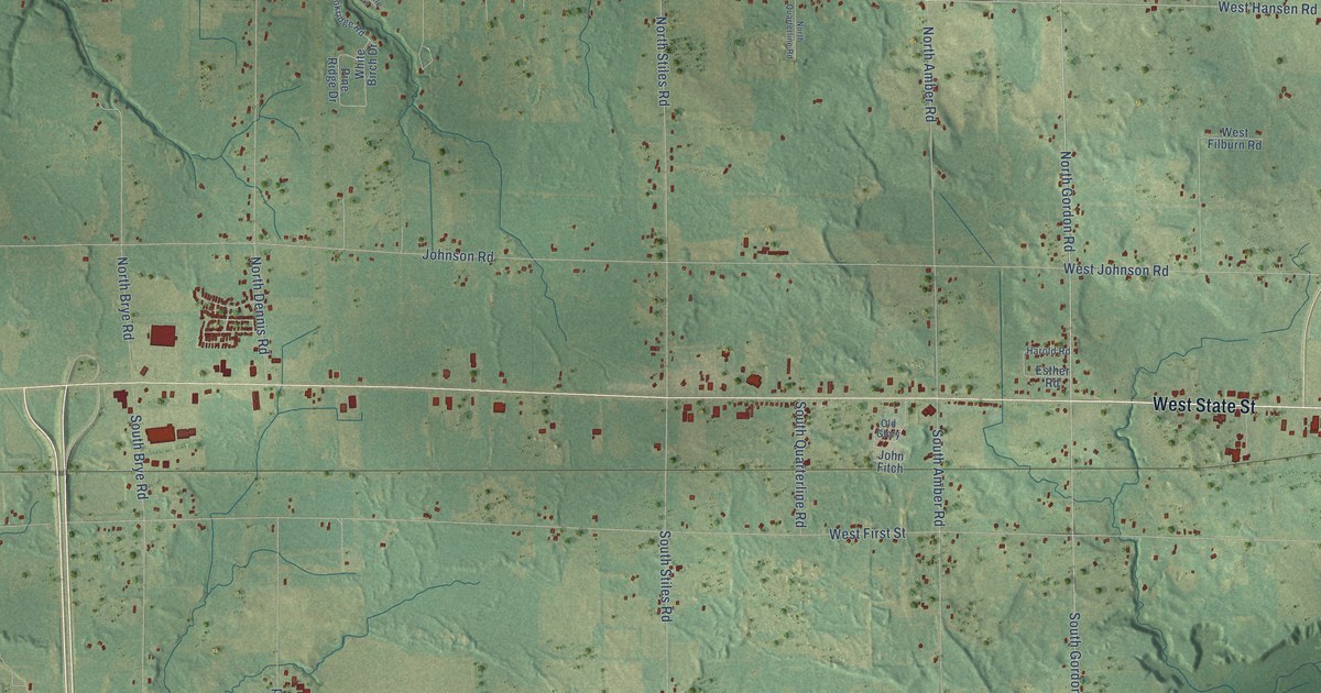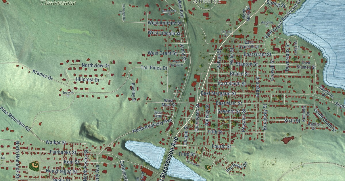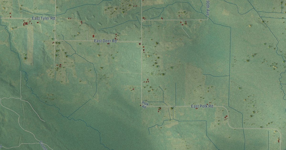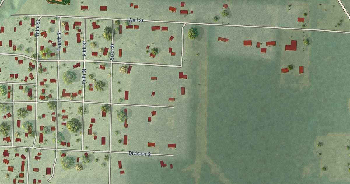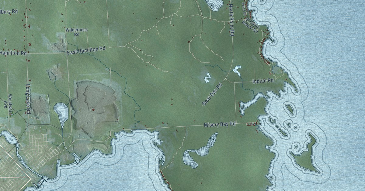
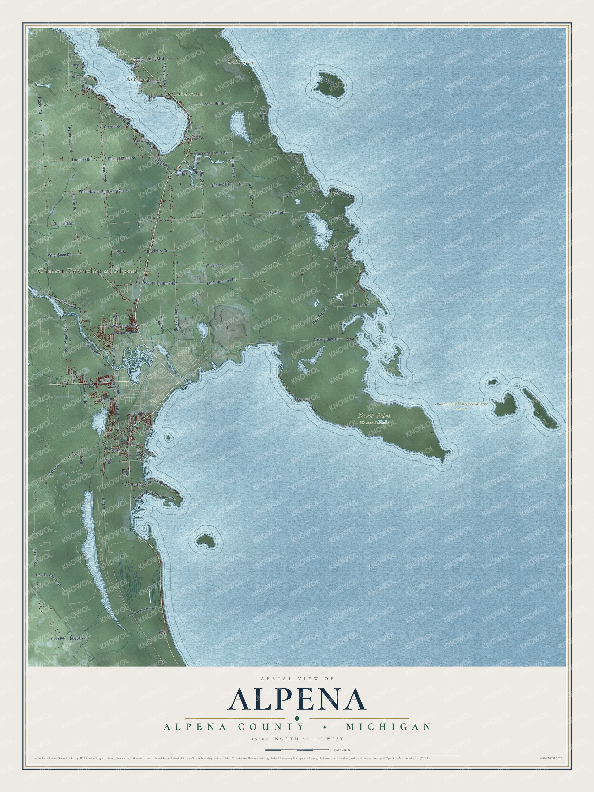
This beautifully detailed map of Alpena, Michigan was created in 2026 using aerial imagery combined with modern topographical, census, street and landmark data. It's a modern aerial view of Alpena in Alpena County, Michigan, that combines modern data with a vintage aesthetic. The roads feature printed names, and if you look closely you can find your exact house accurately shown in its correct location.
Explore an aerial view of Alpena, Michigan
On this map you'll find Charter Township of Alpena, Ashland, Lakewood, Rockport, North Point Nature Preserve, Thunder Bay National Marine Sanctuary, Werth Road, Lake Boulevard, West Long Lake Road, Weiss Road, Long Lake Road, Devils Lake Trail, and more. Each red shape is a building, so zoom in on the preview and look for yours.
Alpena has a story worth telling. The Centennial History of Alpena County puts it this way: "The incorporation of the city had detached a large portion of the inhabitants from the township of Alpena, yet there remained enough to keep up the organization, and N. M. Brackinreed was elected Supervisor."
The Census Bureau counted 9,116 people here in 2020.
Take a closer look at the Alpena map
Names on this map
These names are printed on this map.
Places: Charter Township of Alpena, Ashland, Lakewood, Rockport, North Point Nature Preserve and Thunder Bay National Marine Sanctuary.
Streets and roads: Werth Road, Lake Boulevard, West Long Lake Road, Weiss Road, Long Lake Road, Devils Lake Trail, French Road, Bloom Road, Piper Road, North Point Road, Haken Road, Wessel Road.
More street names, A to Z
Anderson Road, Bear Den Road, Bear Point Road, Boilore Road, Bradbury Road, Burkholder Drive, County Line Road, Cranberry Lane, Devere Drive, Dow Drive, Dubey, East Grand Lake Road, East Hamilton Road, East Lacomb Road, East Naylor Road, El Cajon Beach Road, Fitzgerald Road, Gilbert Drive, Golf Course Road, Gordon Road, Grant Street, Grover Road, Gutchess Road, Guyotte Road, Harbor Drive, Highland Court, Hobbs Drive, Huron Beach Road, Indian Road, Jesse Road, Kannowski Road, Kirchoff Road, Kline Road, Lacomb Road, Lake Winyah Road, Lakewood Drive, Lappan Road, Lay Road, Lincoln Bay Drive, Long Lake Park Road, Long Rapids Road, Lowell Road, Mac Avenue, Maple Grove Road, Marek Road, Middle Island, Misery Bay Road, Monaghan Point Road, North Bagley Street, North Point Shores Road, Old Grade Road, Old Long Lake Road, Partridge Point Road North, Partridge Point Road South, Pearl Road, Pohl Road, Princeton Avenue, Red Pine Road, Rensberry Point Road, Rockport Road, Rocky Bay Drive, Rude Road, Samp Road, Schmidt Drive, South Bagley Street, South Brooke Street, South Third Avenue, Spruce Road, Tamrack Road, Timm Drive, Trail Drive, Truckey Road, Turnbull Mill Road, Villeneuve Road, Walmsley Road, Wayne Road, West Hamilton Road, West Naylor Road, Wilderness Road, Wilke Street, Woodward Avenue.
Created by KNOWOL in 2026. The buildings are small red shapes, the roads carry their printed names, and shaded relief shows the shape of the land. The title panel reads "AERIAL VIEW OF ALPENA, ALPENA COUNTY • MICHIGAN" with 45°07' NORTH 83°27' WEST.
It looks right in a kitchen, an office or a den, and it's a gift for anyone who grew up in Alpena or moved away. Open the preview and find your street. See sizes and frames for the Alpena, Alpena County map.