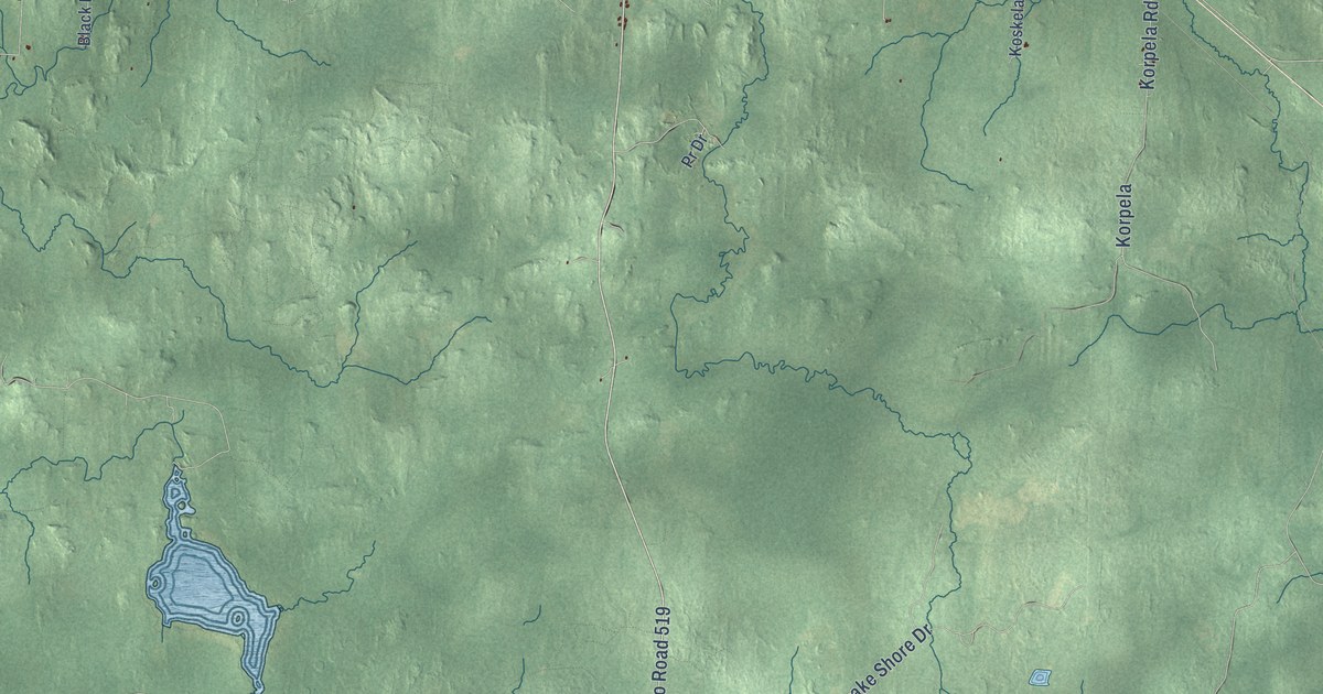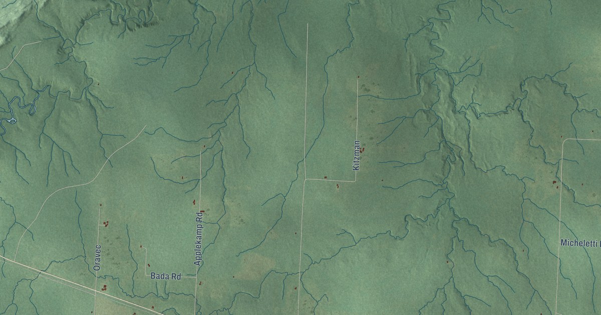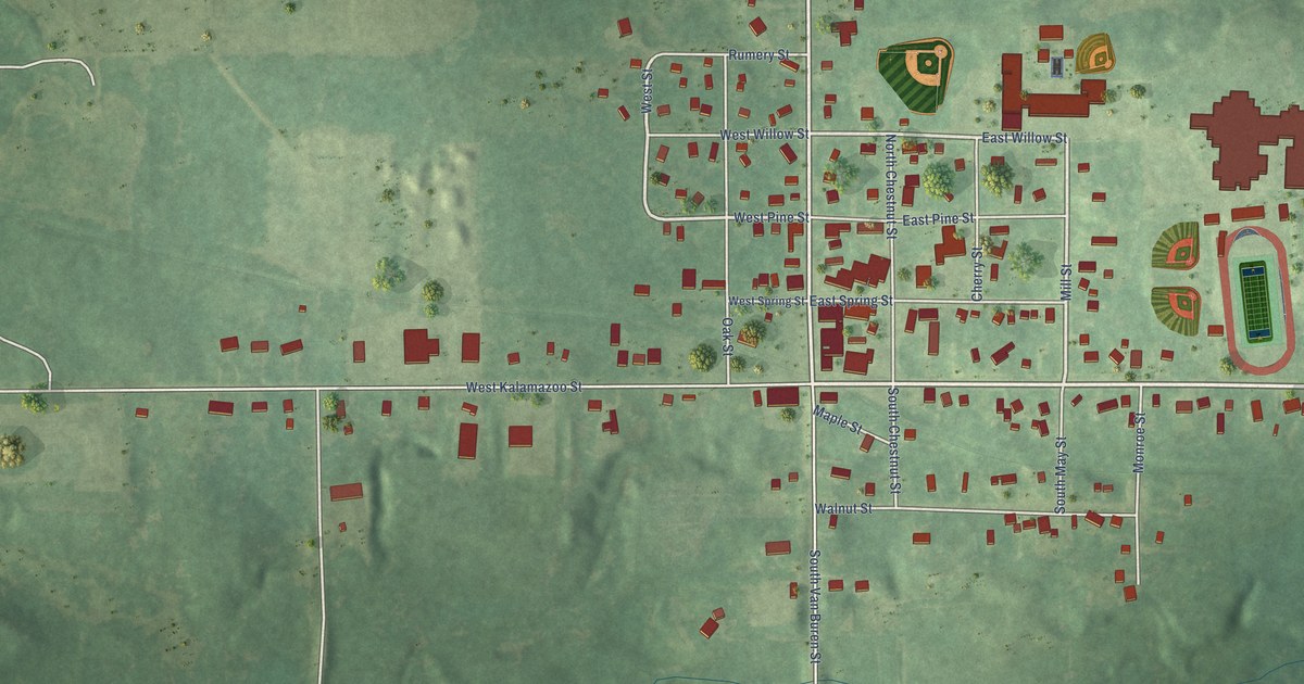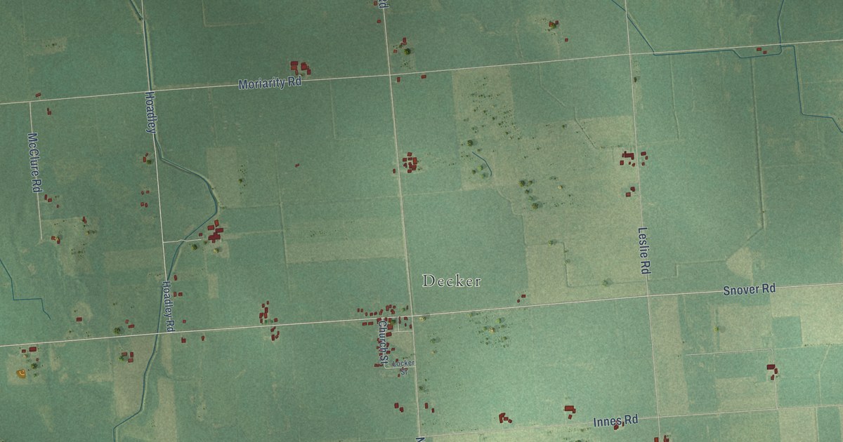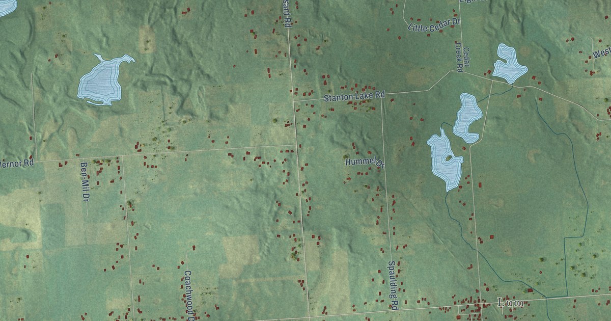
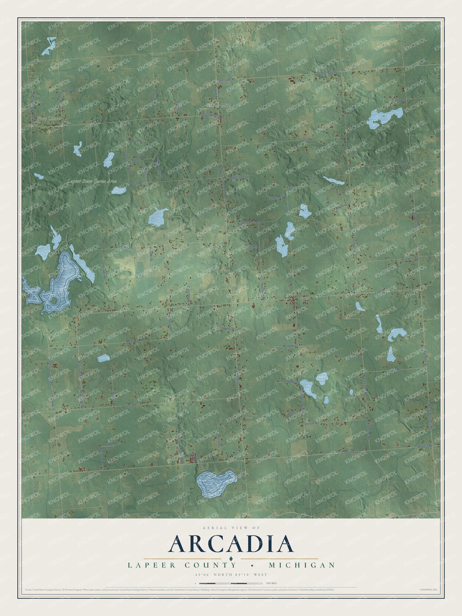
This beautifully detailed map of Arcadia, Michigan was created in 2026 using aerial imagery combined with modern topographical, census, street and landmark data. It's a modern aerial view of Arcadia in Lapeer County, Michigan, that combines modern data with a vintage aesthetic. The roads feature printed names, and if you look closely you can find your exact house accurately shown in its correct location.
Explore an aerial view of Arcadia, Michigan
On this map you'll find Five Lakes, Kings Mill, Lum, Lapeer State Game Area, Lum Road, Co Highway 25, Bearinger Road, Co Highway 11, Bowers Road, Co Highway 52, North Lake Pleasant Road, Mitchell Lake Road, and more. Each red shape is a building, so zoom in on the preview and look for yours.
Here is a piece of Arcadia history, in the words of the record. The History of Lapeer County puts it this way: "The town -house of Arcadia was originally built for a schoolhouse and was bought by the town in 1879 for general town purposes. It is located in section 22."
The Census Bureau counted 3,148 people here in 2020.
Take a closer look at the Arcadia map
Names on this map
These names are printed on this map.
Places: Five Lakes, Kings Mill, Lum and Lapeer State Game Area.
Streets and roads: Lum Road, County Highway 25, Bearinger Road, County Highway 11, Bowers Road, County Highway 52, North Lake Pleasant Road, Mitchell Lake Road, Summers Road, Slattery Road, Vernor Road, North Summers Road.
More street names, A to Z
5 Lakes Road, Adam Drive, Allen Drive, Bearanger Road, Ben-Mil Drive, Boulan Drive, Burning Tree Lane, Cedar Creek Road, Cedar Lake Road, Clear Lake Road, Coachwood Drive, County Highway 14, County Highway 44, Curtis Road, Daley Road, Elgin Drive, Ewalt Road, Five Lakes Road, Gark Road, Ginny Drive, Haines Road, Harrington Road, Hayden Road, Hummel Drive, Jefferson Road, Jones Road, Keeley Lane, Kings Mill Road, Lake Pleasant Road, Little Cedar Drive, Loggers Pass, Long Lake Road, Lyons Road, Marmon Drive, Meadow Lane, Mill Street, Noltie Road, North Five Lakes Road, North Lake George Road, North Young Road, North Youngs Road, Ostrom Road, Owens Drive, Robinet Road, Roscoe Road, Saddle Creek Drive, Sandy Lane, Skyview Drive, Spaulding Road, Stanton Lake Road, Timber Creek Lane, Treetop Lane, Welch Road, Westend Lane.
Created by KNOWOL in 2026. The buildings are small red shapes, the roads carry their printed names, and shaded relief shows the shape of the land. The title panel reads "AERIAL VIEW OF ARCADIA, LAPEER COUNTY • MICHIGAN" with 43°06' NORTH 83°10' WEST.
It suits a den, a classroom or a front hall, and it makes a gift for anyone with Arcadia roots. Open the preview and find the block you know. See sizes and frames for the Arcadia, Lapeer County map.