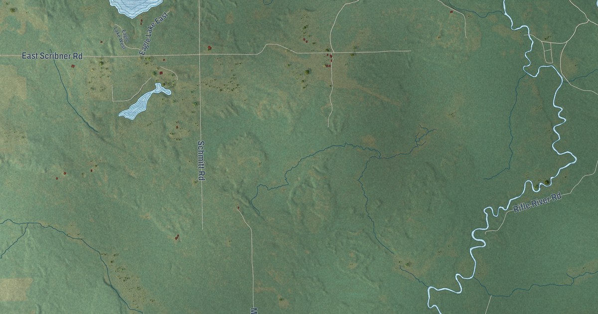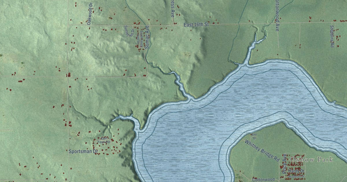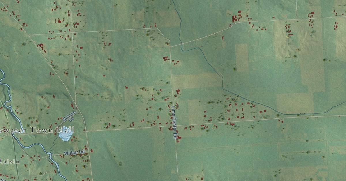
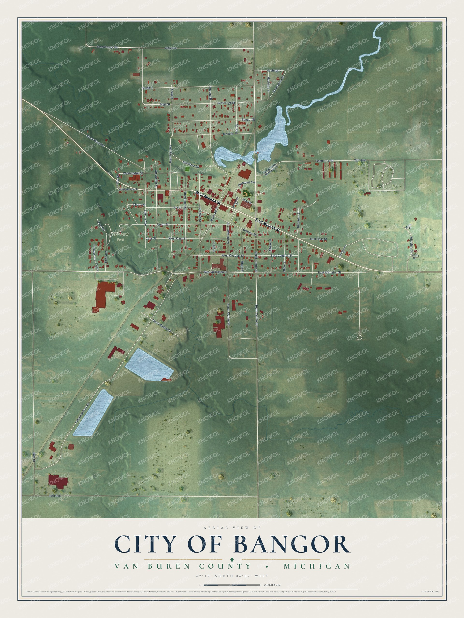
This beautifully detailed map of Bangor, Michigan was created in 2026 using aerial imagery combined with modern topographical, census, street and landmark data. It's a modern aerial view of Bangor in Van Buren County, Michigan, that combines modern data with a vintage aesthetic. The roads feature printed names, and if you look closely you can find your exact house accurately shown in its correct location.
Explore an aerial view of Bangor, Michigan
On this map you'll find Kiwanis Park, Lions Park, West Monroe Street, East Monroe Street, North Center Street, 26th Avenue, Greenhouse Road, West Arlington Street, High Street, Lafler Street, Hamilton Avenue, Washington Street, and more. Each red shape is a building, so zoom in on the preview and look for yours.
Bangor has a story worth telling. The History of Berrien and Van Buren Counties puts it this way: "A very marked impetus was given to the growth of Bangor and its business interests by the settlement of Joseph H. Nyman, who came from Niles, Mich., in 1856, and purchased the saw-mill and water-privilege."
Bangor is a city in Van Buren County. The Census Bureau counted 2,016 people here in 2020.
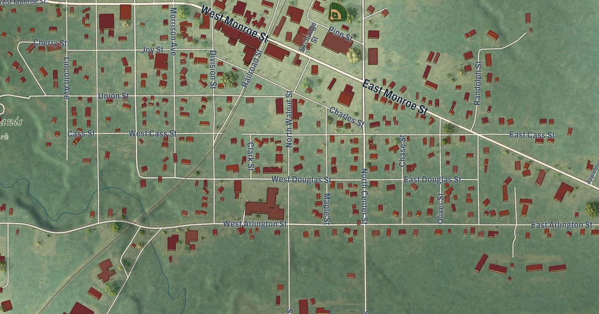
Take a closer look at the Bangor map
Names on this map
These names are printed on this map.
Places: Kiwanis Park and Lions Park.
Streets and roads: West Monroe Street, East Monroe Street, North Center Street, 26th Avenue, Greenhouse Road, West Arlington Street, High Street, Lafler Street, Hamilton Avenue, Washington Street, Park Road, West Douglas Street.
More street names, A to Z
28th Avenue, 34th Avenue, 60th Street, Alexander Street, Appleblossom Drive, Bangor Street, Black River Road, Cass Street, Cemetery Road, Charles Street, Chase Street, Cherry Street, Clark Street, David Walton Drive, Diamond Avenue, Division Street, East Arlington Street, East Cass Street, East Douglas Street, Exchange Street, First Street, Hastings Court, Hastings Street, Industrial Park Drive, Joy Street, Kalamazoo Street, Lincoln Avenue, Main Street, Maple Street, Mill Race Road, Mims Court, Morrison Avenue, North Street, North Walnut Street, Oliver Street, Park Avenue, Pine Street, Prospect Court, Prospect Street, Railroad Street, Randolph Street, Richard Beer Memorial Drive, Second Street, South Center Street, South Walnut Street, Third Street, Trestle Street, Union Street, West Cass Street, West High Street, Wheeling Street.
Created by KNOWOL in 2026. The buildings are small red shapes, the roads carry their printed names, and shaded relief shows the shape of the land. The title panel reads "AERIAL VIEW OF CITY OF BANGOR, VAN BUREN COUNTY • MICHIGAN" with 42°19' NORTH 86°07' WEST.
It looks right in a kitchen, an office or a den, and it's a gift for anyone who grew up in Bangor or moved away. Open the preview and find your street. See sizes and frames for the Bangor map.