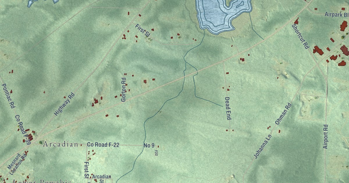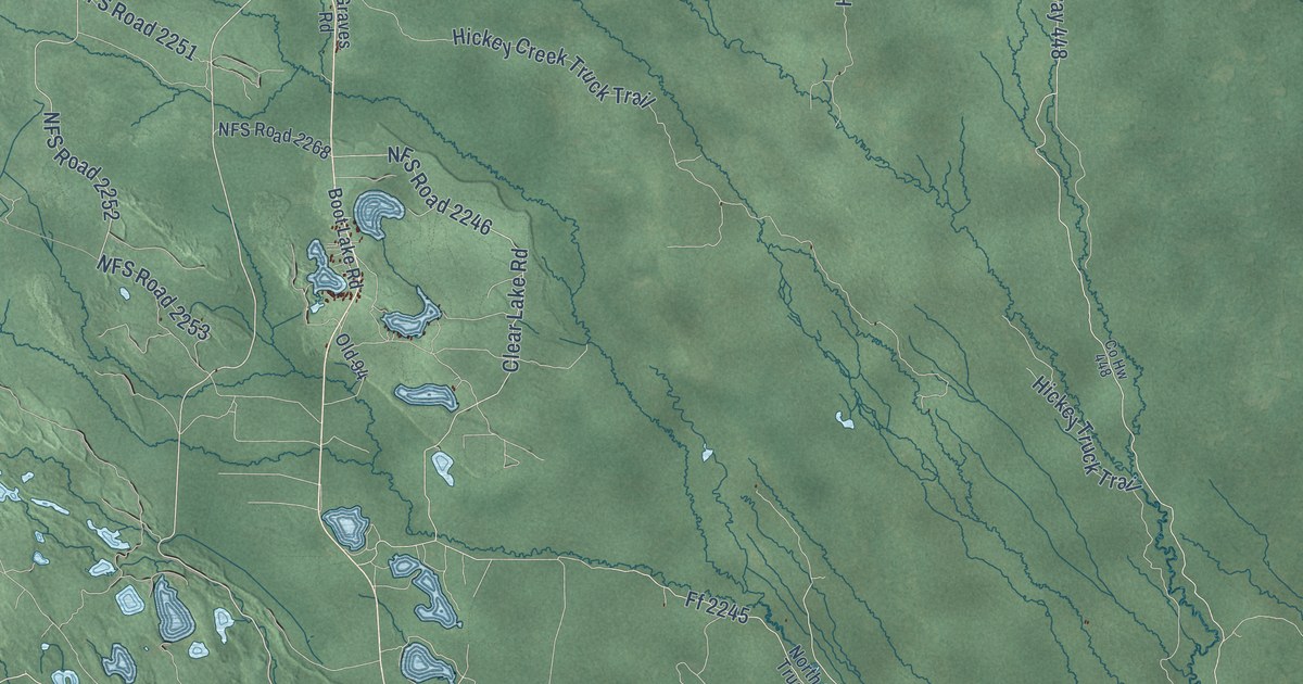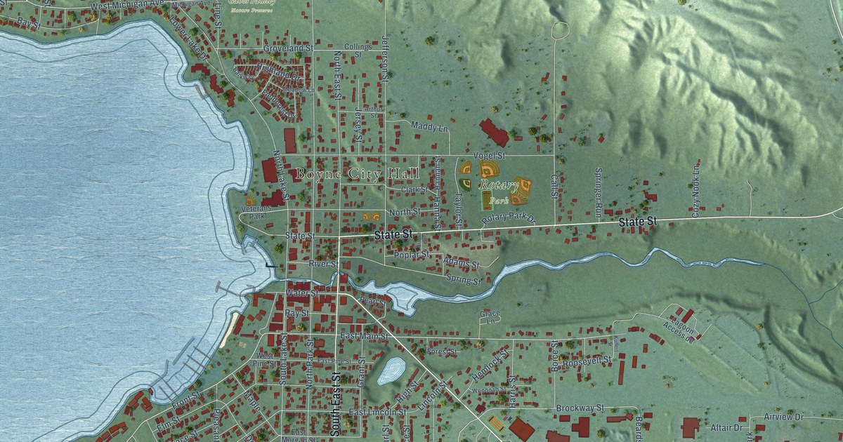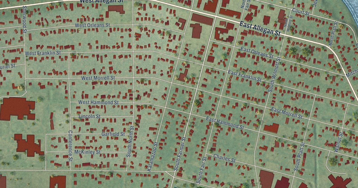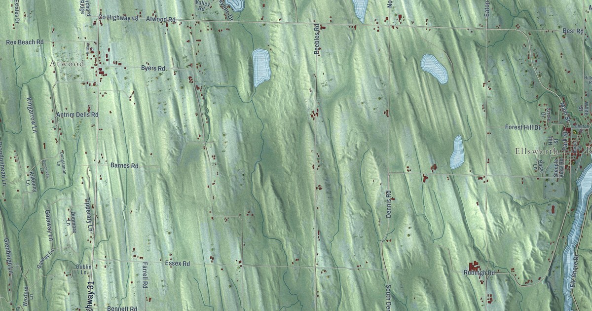
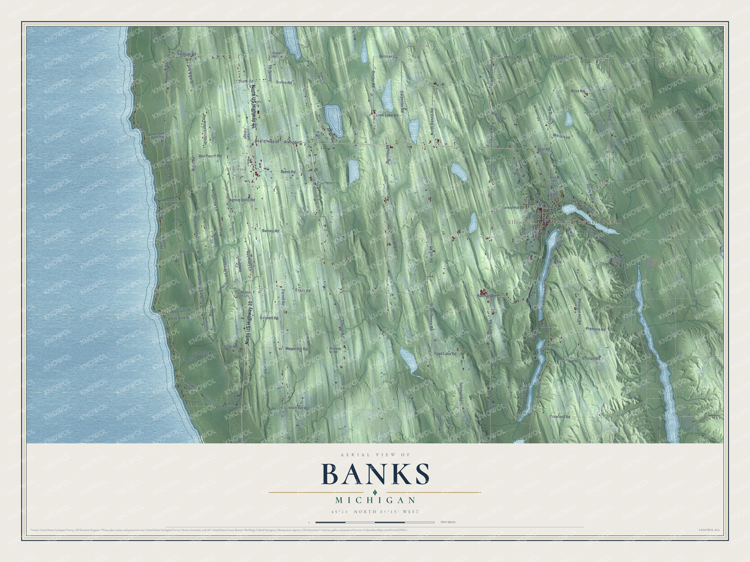
This beautifully detailed map of Banks, Michigan was created in 2026 using aerial imagery combined with modern topographical, census, street and landmark data. It's a modern aerial view of Banks in Antrim County, Michigan, that combines modern data with a vintage aesthetic. The roads feature printed names, and if you look closely you can find your exact house accurately shown in its correct location.
Explore an aerial view of Banks, Michigan
On this map you'll find Banks Township Hall, Ellsworth, Atwood, North US Highway 31, Sinclair Road, Skyline Drive, Slough Road, Timberlake Shores Road, Co Highway 48, Richardson Road, Atwood Road, Antrim Lane, and more. Each red shape is a building, so zoom in on the preview and look for yours.
Banks has a story worth telling. The Traverse Region puts it this way: "Richard Knight, Edward Pearl, Lucius H. Pearl, Thomas Flannigan, and the Geers settled in Banks during or shortly before 1863."
The Census Bureau counted 1,588 people here in 2020.
Take a closer look at the Banks map
Names on this map
These names are printed on this map.
Places: Banks Township Hall, Ellsworth and Atwood.
Streets and roads: North US Highway 31, Sinclair Road, Skyline Drive, Slough Road, Timberlake Shores Road, County Highway 48, Richardson Road, Atwood Road, Antrim Lane, Skinner Road, Antrim Drive, Main Street.
More street names, A to Z
Antrim Dells Road, Banks Twp Park Road, Barnes Road, Bass Lane, Bay Ridge Estates Drive, Bay View Drive, Bennett Hill Road, Bennett Road, Bergsma Road, Best Road, Boss Road, Brandonhead Lane, Brant Road, Bridge Street, Brown Road, Byers Road, Carpenter Road, Church Road, Church Street, Circle Drive, Clay Pit Bridge Road, Clover Hill Lane, Coeling Road, Colby Avenue, County Highway 65, Crawford Road, Dennis Road, Doctor Road, Dublin Lane, Duncarven Lane, Dungannon Lane, Dunmore Lane, East Jordan Road, Eaton Road, Elk Shore Drive, Ellsworth Road, Essex Road, Farrell Road, Flagg Road, Flag Road, Forest Hill Drive, Fox Mission Trail, Galaway Lane, Galway Lane, Glenbeigh Lane, Harris Street, Harwood Lake Road, Hillman Road, Hill Street, Hilltop Lane, Iron Horse Trail, Jolliffe Road, Kilkenny Lane, Kingarrow Lane, Klooster Road, Lakeshore Drive, Lake Street, Lime Lake Road, Lord Road, Lore Lane, Lore Road, Maple Hill Road, Marcus Lane, Marion Center Road, Melroy Road, Mitchell Road, North Brinkers Road, North Dennis Road, Norwood Road, Old Dixie Highway, Orchard Ridge, Pachakee Trail, Park Street, Peebles Road, Pleasant Hill Road, Premore Road, Rains Road, Resort Drive, Rex Beach Road, Rubingh Road, Rushton Road, Scott Road, Simmons Bluff Road, Six Mile Lake Road, South Dennis Road, Steeple View Road, Timberlane Drive, Tipperary Lane, Toad Lake Road, Tyrrell Beach Road, Valley Road, West Hilltop Drive, Wexford Lane, White Pine Drive, White Street.
Created by KNOWOL in 2026. The buildings are small red shapes, the roads carry their printed names, and shaded relief shows the shape of the land. The title panel reads "AERIAL VIEW OF BANKS, MICHIGAN" with 45°10' NORTH 85°15' WEST.
It looks right in a kitchen, an office or a den, and it's a gift for anyone who grew up in Banks or moved away. Open the preview and find your street. See sizes and frames for the Banks map.