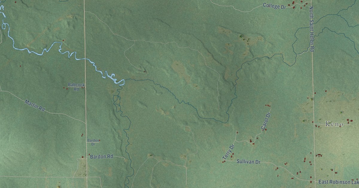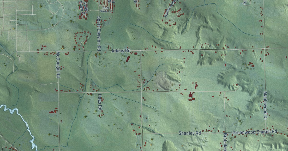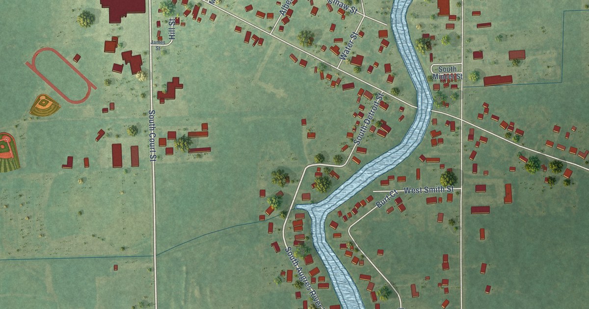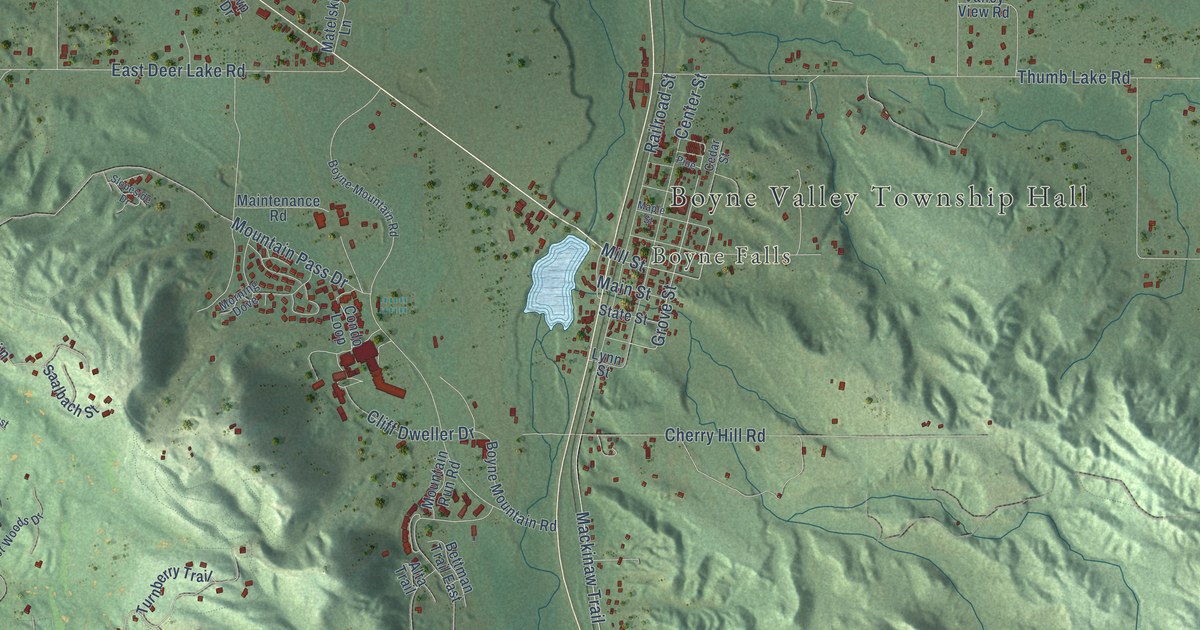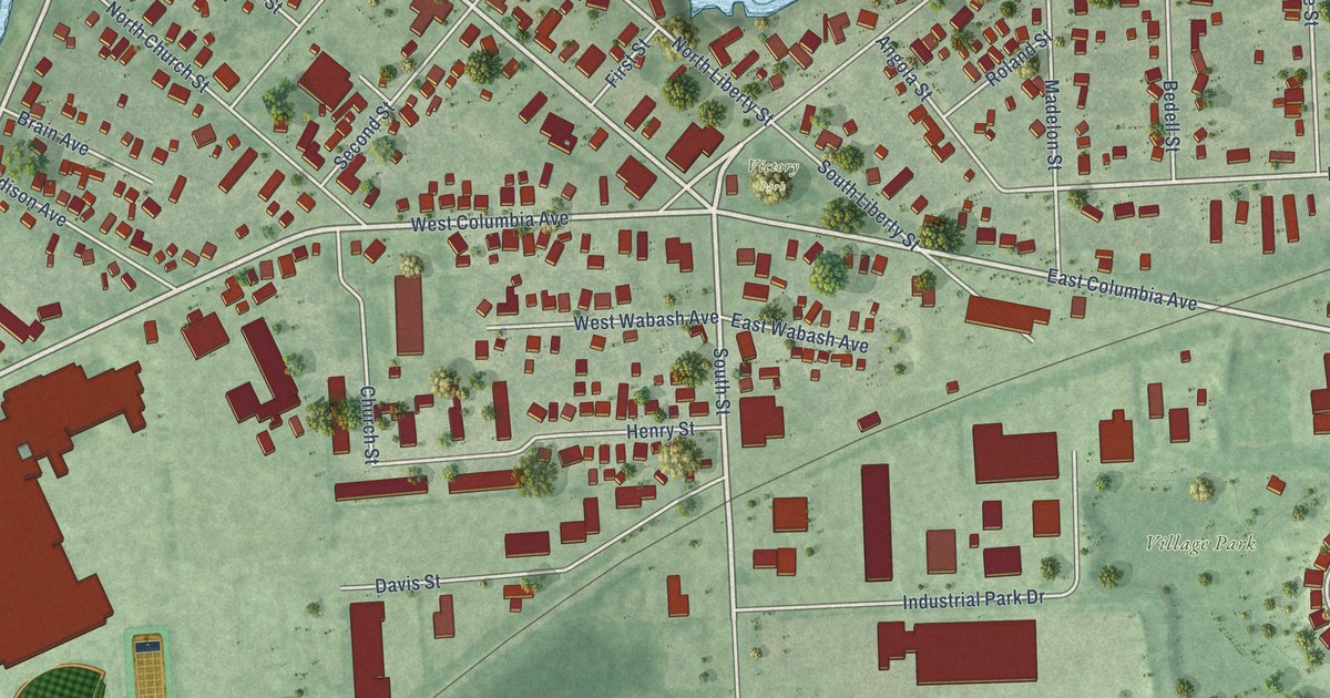
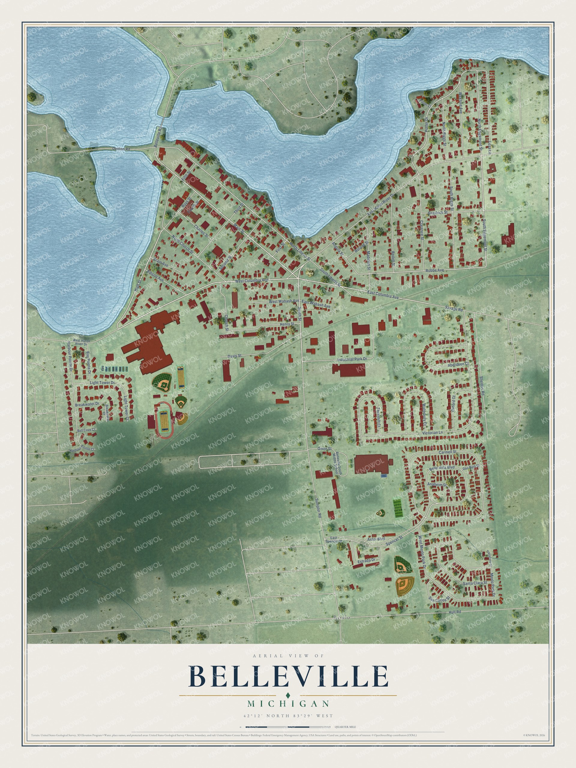
This beautifully detailed map of Belleville, Michigan was created in 2026 using aerial imagery combined with modern topographical, census, street and landmark data. It's a modern aerial view of Belleville in Wayne County, Michigan, that combines modern data with a vintage aesthetic. The roads feature printed names, and if you look closely you can find your exact house accurately shown in its correct location.
Explore an aerial view of Belleville, Michigan
On this map you'll find Village Park, Victory Park, Roulo, East Huron River Drive, West Columbia Avenue, Main Street, High Street, East Columbia Avenue, South Street, North Edgemont Street, South Edgemont Street, Potter Drive, and more. Each red shape is a building, so zoom in on the preview and look for yours.
Belleville has a story worth telling. The record at arcgis.com puts it this way: "Van Buren Township was organized out of Huron Township by an act of the Legislative Council of the Territory of Michigan in 1835."
Belleville is a city in Wayne County. The Census Bureau counted 4,008 people here in 2020.
Take a closer look at the Belleville map
Names on this map
These names are printed on this map.
Places: Village Park, Victory Park and Roulo.
Streets and roads: East Huron River Drive, West Columbia Avenue, Main Street, High Street, East Columbia Avenue, South Street, North Edgemont Street, South Edgemont Street, Potter Drive, Robbe Avenue, Belle Villa Boulevard, North Liberty Street.
More street names, A to Z
Aberdeen Court, Anaheim Street, Angola Street, Astor Boulevard, Bay Pointe Drive, Bedell Street, Bell Cove Court, Belleville Road, Belleville South Middle School, Brain Avenue, Breakwater Court, Breakwater Drive, Capistrano Court, Carmell Street, Charles Street, Church Street, Clarence Street, Davis Street, Denton Road, Dos Rios Street, East Spencer Street, East Wabash Avenue, Edison Avenue, Estrada Drive, Fifth Street, First Street, Fourth Street, Greylock Street, Harbour Pointe Court, Harbour Pointe Drive, Henry Street, Hull Road, Industrial Park Drive, Light Tower Court, Light Tower Drive, Loza Lane, Madelon Street, Menlo Park Drive, North Biggs Street, North Church Street, Owen Street, Oxford Court, Potter Court, Roland Street, Roys Street, San Carlos Street, Santa Clara Street, Savage Road, Second Street, Sheldon Road, South Biggs Street, South Liberty Street, Spencer Street, Sumpter Road, Third Street, Thornhill Court, Victorian Lane, Waterbury Court, West Huron River Drive, West Menlo Park Drive, West Wabash Avenue, Wexford Avenue.
Created by KNOWOL in 2026. The buildings are small red shapes, the roads carry their printed names, and shaded relief shows the shape of the land. The title panel reads "AERIAL VIEW OF BELLEVILLE, MICHIGAN" with 42°12' NORTH 83°29' WEST.
It looks right in a kitchen, an office or a den, and it's a gift for anyone who grew up in Belleville or moved away. Open the preview and find your street. See sizes and frames for the Belleville map.