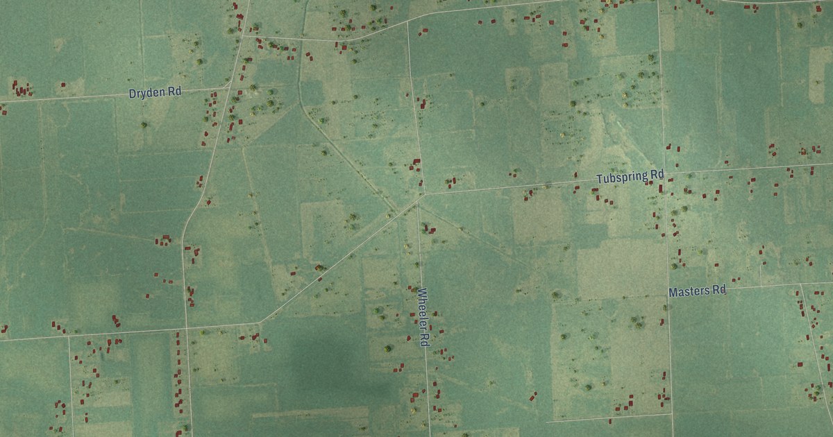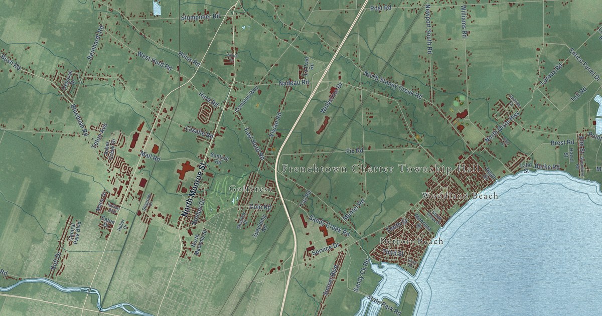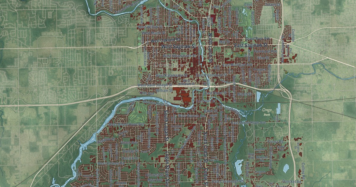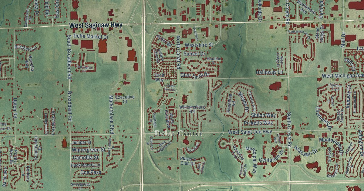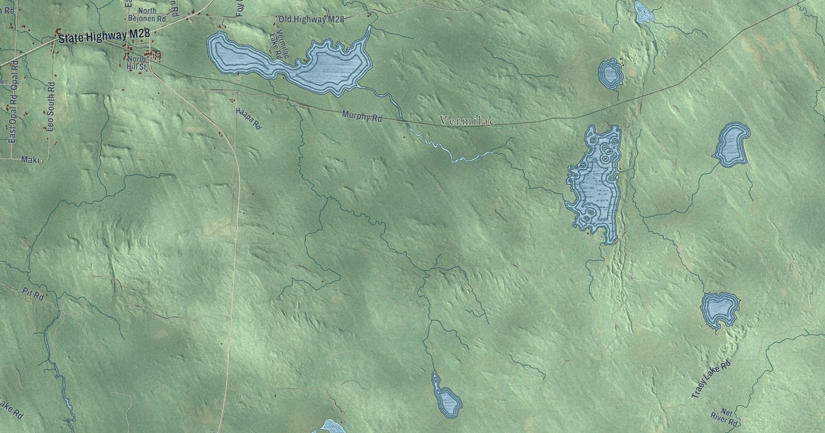
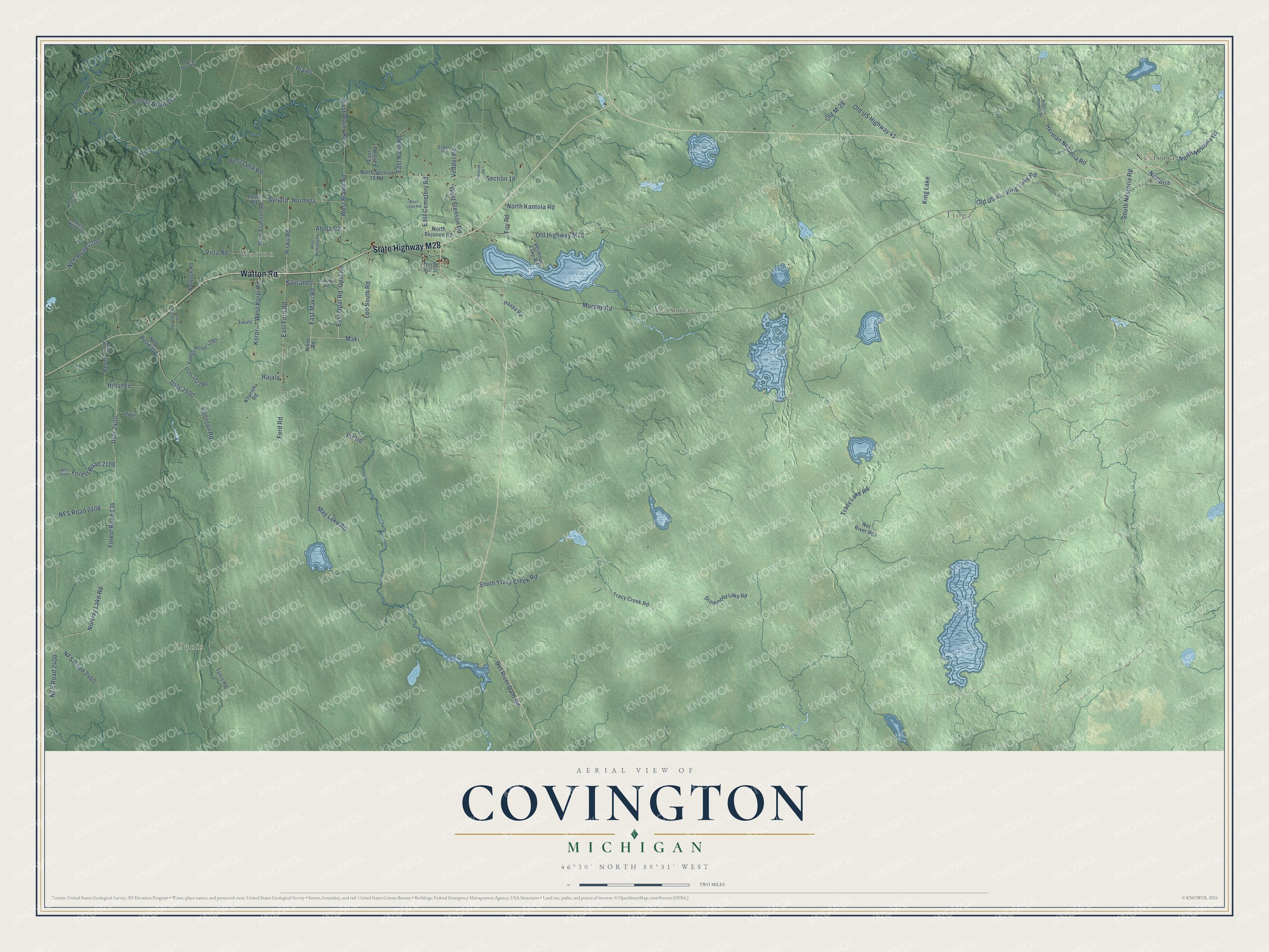
This beautifully detailed map of Covington, Michigan was created in 2026 using aerial imagery combined with modern topographical, census, street and landmark data. It's a modern aerial view of Covington in Baraga County, Michigan, that combines modern data with a vintage aesthetic. The roads feature printed names, and if you look closely you can find your exact house accurately shown in its correct location.
Explore an aerial view of Covington, Michigan
On this map you'll find Nestoria, Tioga, Tunis, Watton, Vermilac, Watton Road, State Highway M28, Ford Road, East Maki Road, Maki, Kauranen, Risku Road, and more. Each red shape is a building, so zoom in on the preview and look for yours.
Here is a piece of Covington history, in the words of the record. The record at arcgis.com puts it this way: "The Ponnistus Athletic Club established a basement gym in 2003, and the UP Made Artist Market opened here in 2007."
The Census Bureau counted 375 people here in 2020.
Take a closer look at the Covington map
Names on this map
These names are printed on this map.
Places: Nestoria, Tioga, Tunis, Watton, Vermilac and King Lake.
Streets and roads: Watton Road, State Highway M28, Ford Road, East Maki Road, Maki, Kauranen, Risku Road, East Opal Road, Syrjala, West Plains Road, East Plains Road, Plains.
More street names, A to Z
Ahola Road, Coontail Road, Drummond Lake Road, East Aalto Road, East Autio Road, East Cemetery Road, East Ford Road, East Perch, East Thompson Road, Eskel Road, Forest Road 136, Forest Road 191, Forest Road 227, Forest Road 556, Forest Road 1280, Forest Road 2108, Foy Road, Haapa Road, Herman Nestoria Road, Hiilside Road, Hiltunen, Kauranen Road, Knuriek Road, Korpi, Lassi Road, Leo South Road, May Lake Road, Murphy Road, Nestoria Herman Road, Net River Dam Road, Net River Road, NFS Road 358, NFS Road 2108, NFS Road 2200, NFS Road 2211, NFS Road 2400, NFS Road 2460, Niemi Road, Norback Road, North Bejonen Road, North Hill Street, North Kantola Road, North Nestoria Road, North Section 16 Road, Norway Lake Road, Nurmela, Old Highway M28, Old M-28, Old US Highway 41, Opal Road, Perch, Pit Road, Rajala, Section 16, Seppi, South Nestoria Road, South Tracy Creek Road, Takala, Tracy Creek Road, Tracy Lake Road, Tunis Road, Usfs 2400, Usfs 2418, Usfs 2500, Usfs 2523 Road, Vedder Road, Vermilac Lake Road, Virta Road, West Korpi Road, West Leek Road, West Lotte Road, West Nurkkala Road, West Saarinen Road, West Stenson Road.
Created by KNOWOL in 2026. The buildings are small red shapes, the roads carry their printed names, and shaded relief shows the shape of the land. The title panel reads "AERIAL VIEW OF COVINGTON, MICHIGAN" with 46°30' NORTH 88°31' WEST.
It suits a den, a classroom or a front hall, and it makes a gift for anyone with Covington roots. Open the preview and find the block you know. See sizes and frames for the Covington map.