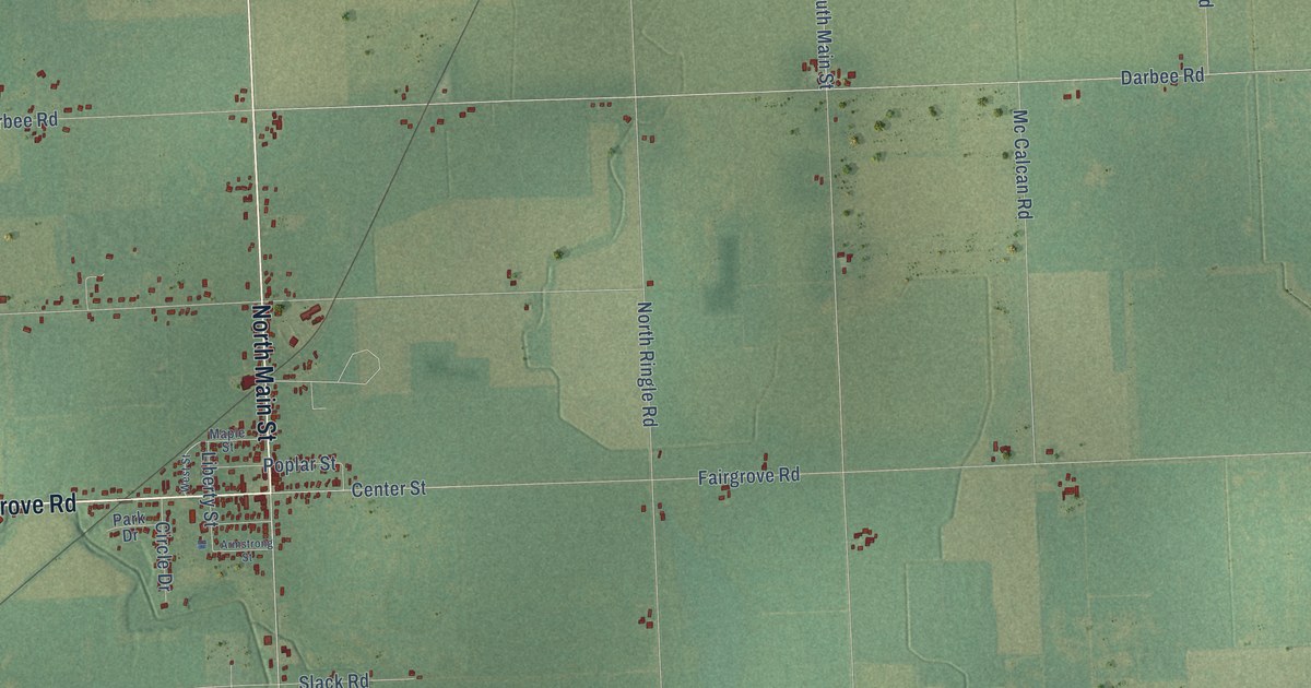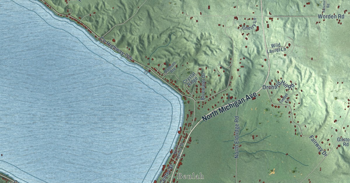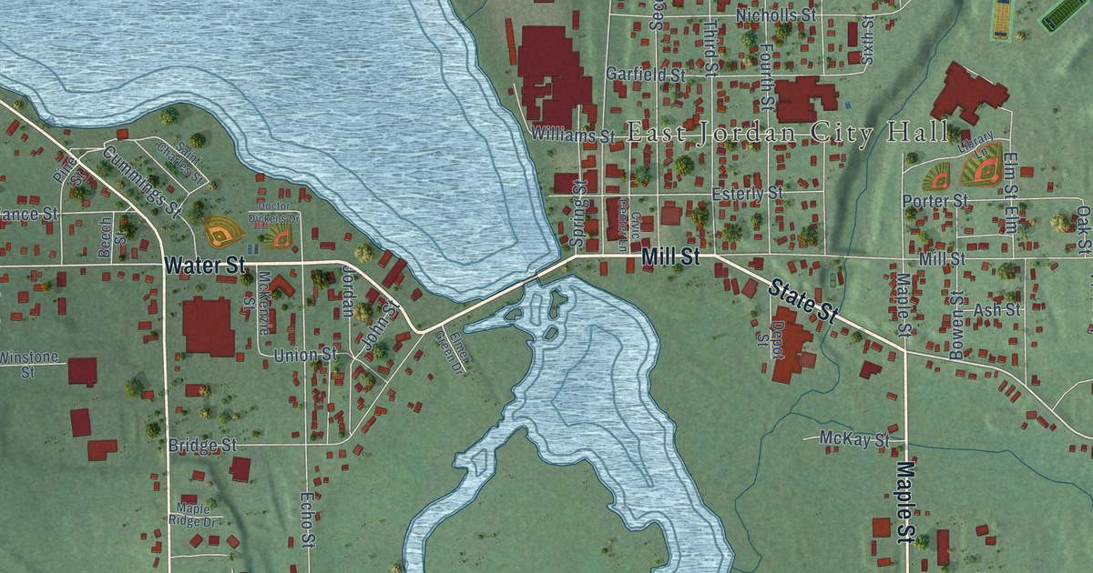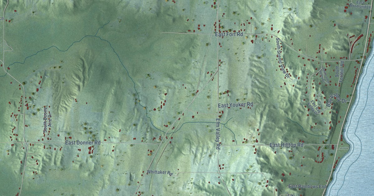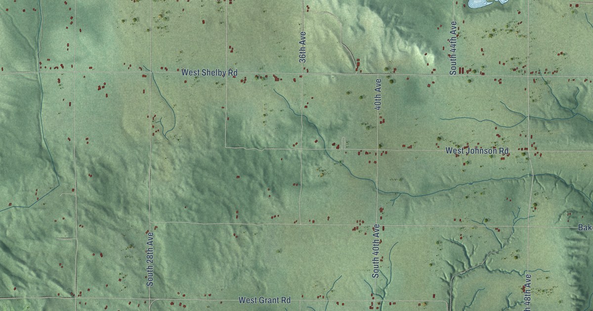
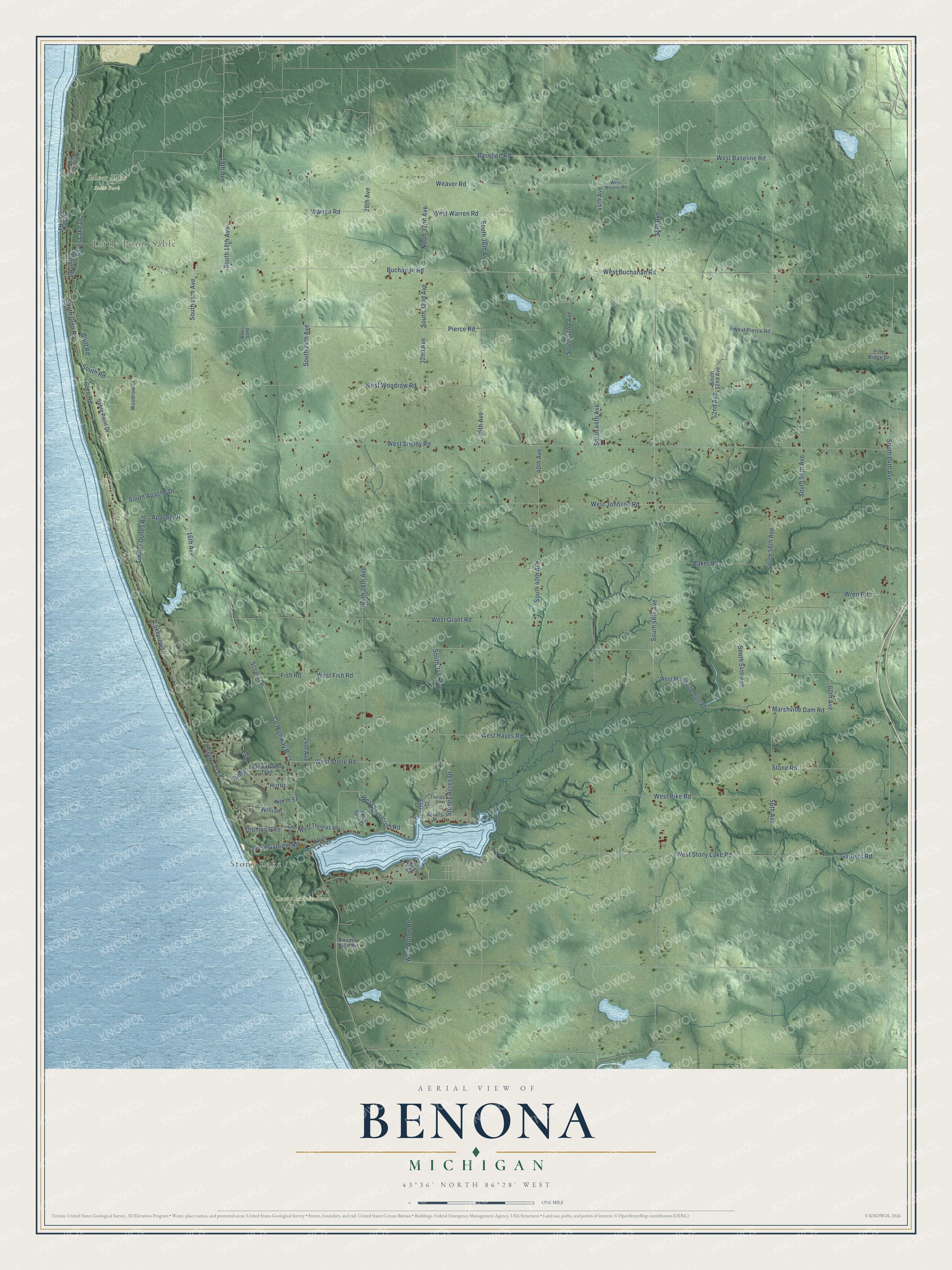
This beautifully detailed map of Benona, Michigan was created in 2026 using aerial imagery combined with modern topographical, census, street and landmark data. It's a modern aerial view of Benona in Oceana County, Michigan, that combines modern data with a vintage aesthetic. The roads feature printed names, and if you look closely you can find your exact house accurately shown in its correct location.
Explore an aerial view of Benona, Michigan
On this map you'll find Little Point Sable, Stony Lake, Camp Miniwanca, Silver Lake State Park, West Buchanan Road, Baseline Road, Buchanan Road, 48th Avenue, North 32nd Avenue, West Baseline Road, Weaver Road, South 48th Avenue, and more. Each red shape is a building, so zoom in on the preview and look for yours.
Benona has a story worth telling. The record at arcgis.com puts it this way: "Blackberry Ridge was founded in 1857 as the second Euro-American settlement in Benona Township."
The Census Bureau counted 1,425 people here in 2020.
Take a closer look at the Benona map
Names on this map
These names are printed on this map.
Places: Little Point Sable, Stony Lake, Camp Miniwanca and Silver Lake State Park.
Streets and roads: West Buchanan Road, Baseline Road, Buchanan Road, 48th Avenue, North 32nd Avenue, West Baseline Road, Weaver Road, South 48th Avenue, County Highway B-15, Scenic Drive, 44th Avenue, South 56th Avenue.
More street names, A to Z
16th Avenue, 18th Avenue, 24th Avenue, 28th Avenue, 32nd Avenue, 36th Avenue, 40th Avenue, 52nd Avenue, 56th Avenue, 60th Avenue, Agnes Road, Apache Drive, Awayin Hills Drive, Baker Road, Beverly Street, Bluff Road, Bob's Land, Erie, Fish Road, Florida Street, Garfield Road, Glen Road, Huron, Lakeview Drive, Marshville Dam Road, North Street, Ohio Street, Ottawa Trail, Ottawattamie Trail, Pierce Road, Pine Ridge Drive, Point Road, Ridge, Sable Point Drive, Shady Glen Road, Silver Lake Drive, South 16th Avenue, South 18th Avenue, South 24th Avenue, South 28th Avenue, South 32nd Avenue, South 34th Avenue, South 36th Avenue, South 40th Avenue, South 42nd Avenue, South 44th Avenue, South 52nd Avenue, South 54th Avenue, South 58th Avenue, South 64th Avenue, South Apache Drive, South Glen Road, South Lighthouse Drive, South Road, Stone Road, Stoney Acres Drive, Stony Lake Lane, Thomas Pike, Thomas Street, Timber Dunes Road, Warren Road, West Arthur Road, West Fish Road, West Garfield Road, West Grant Road, West Hayes Road, West Johnson Road, West Marshville Dam Road, West Pierce Road, West Pike Road, West Shelby Road, West Spur Drive, West Stone Road, West Stonycroft Road, West Stony Lake Road, West Thomas Road, West Warren Road, West Weaver Road, West Woodrow Road, William, Woodrow Court, Wren Road.
Created by KNOWOL in 2026. The buildings are small red shapes, the roads carry their printed names, and shaded relief shows the shape of the land. The title panel reads "AERIAL VIEW OF BENONA, MICHIGAN" with 43°36' NORTH 86°28' WEST.
It looks right in a kitchen, an office or a den, and it's a gift for anyone who grew up in Benona or moved away. Open the preview and find your street. See sizes and frames for the Benona map.